Bush Bank
Settlement in Herefordshire
England
Bush Bank

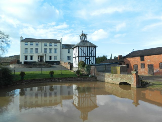
Bush Bank is a small rural village located in Herefordshire, England. Situated about 5 miles northeast of the city of Hereford, it lies within the civil parish of Wellington. The village is nestled in a picturesque countryside setting, surrounded by rolling hills and green fields.
Bush Bank is primarily a residential area with a tight-knit community. It is home to a small population, mainly consisting of families and retirees. The village offers a peaceful and tranquil atmosphere, ideal for those seeking a quieter lifestyle away from the hustle and bustle of the city.
Despite its small size, Bush Bank is well-connected to the surrounding areas. The nearby A49 road provides convenient access to Hereford and other towns in the region. There are also public transportation options available, including regular bus services connecting the village to the wider county.
While Bush Bank does not have its own shops or amenities, the village benefits from its proximity to nearby towns and villages that offer a range of services, including supermarkets, schools, and healthcare facilities. This allows residents to easily access the necessities of daily life without having to travel too far.
The surrounding natural beauty of Bush Bank makes it an ideal location for outdoor enthusiasts. The village is surrounded by scenic walking and cycling trails, offering residents and visitors the opportunity to explore the stunning Herefordshire countryside. Additionally, the nearby River Wye provides opportunities for fishing and water-based activities.
Overall, Bush Bank offers a peaceful and idyllic lifestyle in the heart of the Herefordshire countryside, making it an attractive place to live for those seeking a slower pace of life.
If you have any feedback on the listing, please let us know in the comments section below.
Bush Bank Images
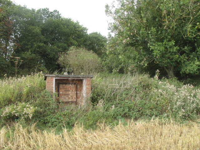
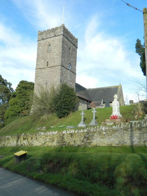
Images are sourced within 2km of 52.162259/-2.8024864 or Grid Reference SO4551. Thanks to Geograph Open Source API. All images are credited.

Bush Bank is located at Grid Ref: SO4551 (Lat: 52.162259, Lng: -2.8024864)
Unitary Authority: County of Herefordshire
Police Authority: West Mercia
What 3 Words
///copiers.tungsten.surround. Near Dinmore, Herefordshire
Nearby Locations
Related Wikis

Bush Bank
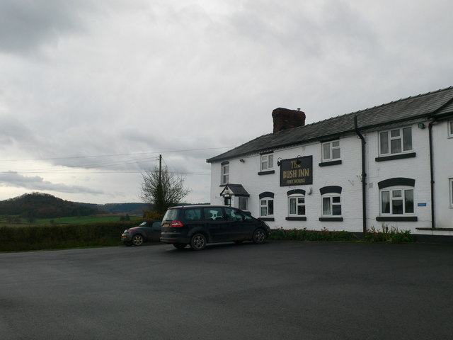
Bush Bank is a hamlet partly in the civil parish of King's Pyon and partly in Birley with Upper Hill, in Herefordshire, England. It is on the A4110 road...

King's Pyon
King's Pyon is a village and civil parish in the county of Herefordshire, England, and is approximately 8 miles (13 km) north-west from the city and county...

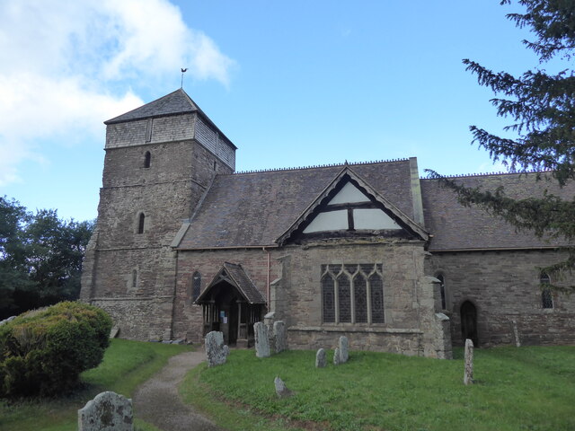
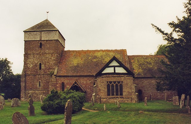
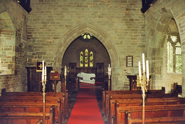
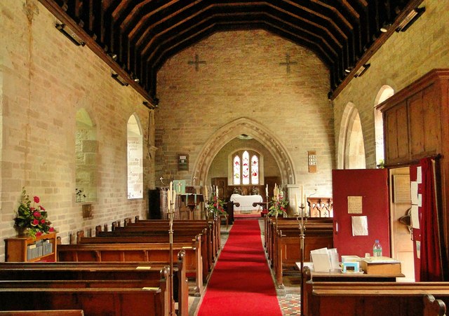
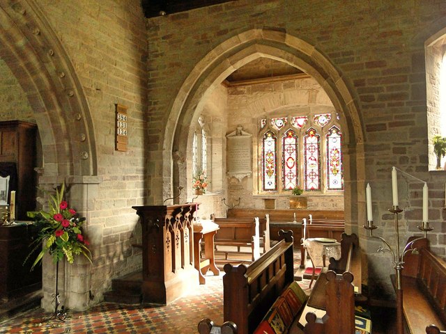
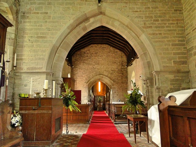
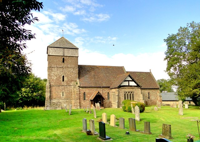
Church of St Mary the Virgin, King's Pyon
The Church of St Mary the Virgin, in King's Pyon, Herefordshire, England, is a medieval church dating from the 12th century. It is a Grade I listed building...

Birley with Upper Hill
Birley with Upper Hill is a civil parish in Herefordshire, England, consisting of the small villages of Birley and Upper Hill, and most of the hamlet of...
Nearby Amenities
Located within 500m of 52.162259,-2.8024864Have you been to Bush Bank?
Leave your review of Bush Bank below (or comments, questions and feedback).