Allington Bar

Settlement in Wiltshire

England

Allington Bar

Unused picnic shelter, Allington Farm Shop Unsurprising on a bitterly cold January lunchtime
Unused picnic shelter, Allington Farm Shop Credit: Basher Eyre

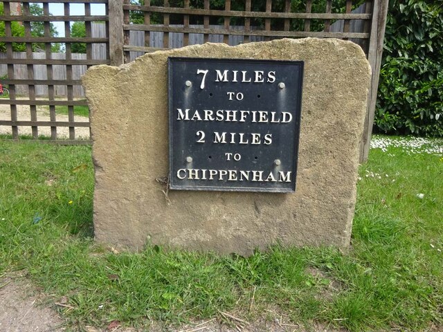
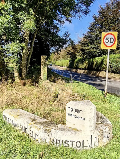
Allington Bar is a small village located in the county of Wiltshire, England. Situated approximately 2 miles east of the town of Chippenham, it is part of the civil parish of Allington. The village is surrounded by picturesque countryside, offering a peaceful and rural setting.

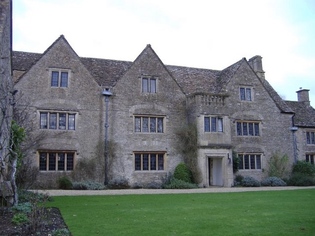
Despite its small size, Allington Bar has a rich history and is home to several historic buildings. One notable landmark is Allington Barrow, a Bronze Age burial mound that stands as a testament to the village's ancient roots. The barrow has been well-preserved and offers visitors a glimpse into the area's prehistoric past.

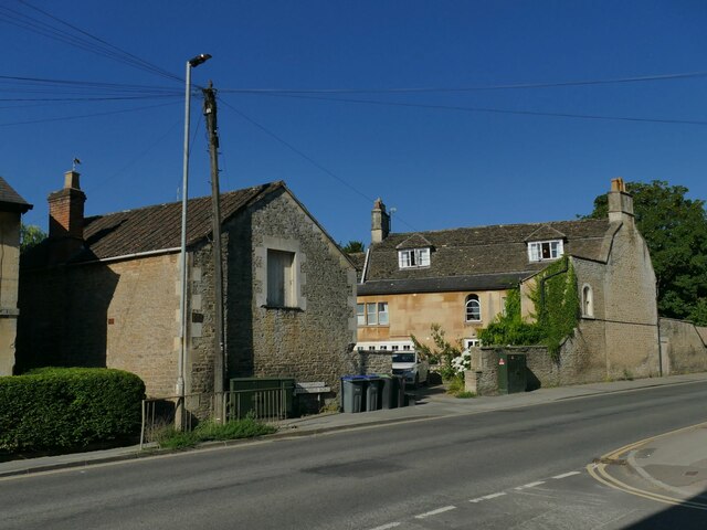
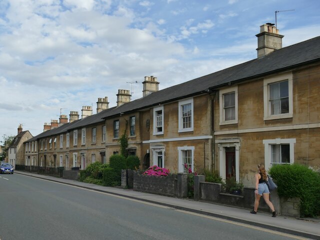
The village itself is characterized by traditional English architecture, with charming cottages and houses lining the streets. The local community is close-knit, with a friendly and welcoming atmosphere. There is a village hall that serves as a hub for various community activities and events.

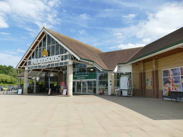
Although Allington Bar is primarily a residential area, there are a few amenities available to residents and visitors. The nearest primary school is located in nearby Chippenham, while there are also several shops, restaurants, and pubs within driving distance.

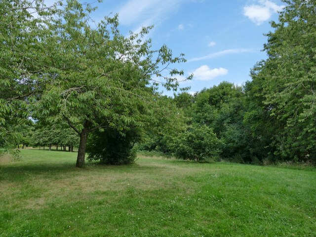
Nature enthusiasts will appreciate the proximity to the countryside, with plenty of opportunities for outdoor activities such as hiking and cycling. The surrounding area is known for its scenic beauty, with rolling hills, meandering rivers, and picturesque landscapes.

Overall, Allington Bar offers a peaceful and idyllic setting for those seeking a rural retreat in the heart of Wiltshire.

If you have any feedback on the listing, please let us know in the comments section below.

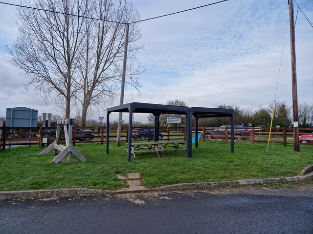
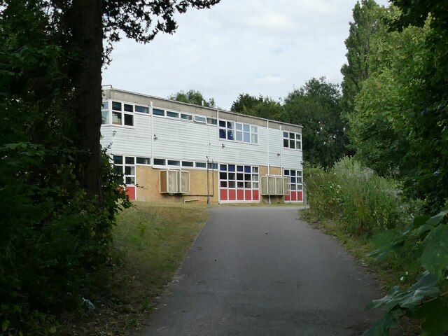
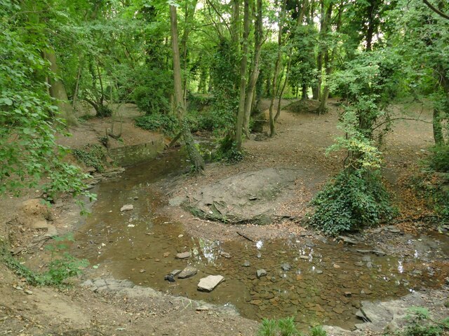
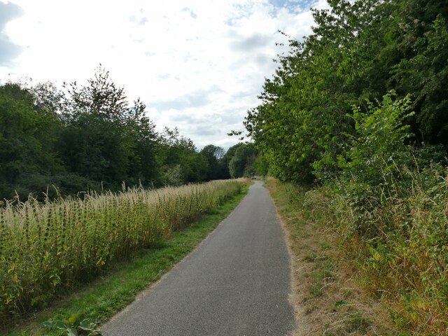
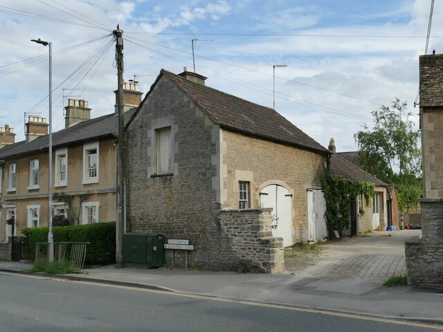
Allington Bar Images

Images are sourced within 2km of 51.470003/-2.151108 or Grid Reference ST8974. Thanks to Geograph Open Source API. All images are credited.

Unused picnic shelter, Allington Farm Shop Unsurprising on a bitterly cold January lunchtime
Unused picnic shelter, Allington Farm Shop
Unsurprising on a bitterly cold January lunchtime
Modern Milestone, Chippenham Without Opposite a petrol station on the A420, Bristol Road. 
This is a replacement for the old milestone
see <a href="https://www.geograph.org.uk/photo/6072414">ST8974 : Old Milestone by the A420, Bristol Road, west of Chippenham</a> sometime between April 2021 & October 2021.

Inscription: 7 Miles / To / Marshfield / 2 miles / To / Chippenham

Milestone Society National ID: WI_CPMF02 R
Modern Milestone, Chippenham Without
Opposite a petrol station on the A420, Bristol Road. This is a replacement for the old milestone see ST8974 : Old Milestone by the A420, Bristol Road, west of Chippenham sometime between April 2021 & October 2021. Inscription: 7 Miles / To / Marshfield / 2 miles / To / Chippenham Milestone Society National ID: WI_CPMF02 R
Old Guide Stone by the A420, Bristol Road, Lanhill Marshfield iron plate by the A420, in parish of Chippenham Without (North Wiltshire District), Bristol Road, Lanhill at junction with the B4039, on wide grass verge within apex of junction, now near The Long Stone - probably moved when the junction was changed. An earlier photograph can be found here <a title="https://www.geograph.org.uk/photo/6094709" href="https://www.geograph.org.uk/photo/6094709">Link</a>.

Inscription reads:-
: {<-hand} TO MARSHFIELD AND BRISTOL.: : TO {HAND->} / CHIPPENHAM : : {<-HAND} TO / CHIPPENHAM : : TO YATTON KEYNELL, CRITTLETON. / BADMINTON AND SODBURY. {hand->} 
Carved bench mark and rivet on top of raised section.

Grade II listed.
List Entry Number: 1283421 <span class="nowrap"><a title="https://historicengland.org.uk/listing/the-list/list-entry/1283421" rel="nofollow ugc noopener" href="https://historicengland.org.uk/listing/the-list/list-entry/1283421">Link</a><img style="margin-left:2px;" alt="External link" title="External link - shift click to open in new window" src="https://s1.geograph.org.uk/img/external.png" width="10" height="10"/></span>

Milestone Society National ID: WI_CPMF02S
Old Guide Stone by the A420, Bristol Road, Lanhill
Marshfield iron plate by the A420, in parish of Chippenham Without (North Wiltshire District), Bristol Road, Lanhill at junction with the B4039, on wide grass verge within apex of junction, now near The Long Stone - probably moved when the junction was changed. An earlier photograph can be found here Link. Inscription reads:- : {<-hand} TO MARSHFIELD AND BRISTOL.: : TO {HAND->} / CHIPPENHAM : : {<-HAND} TO / CHIPPENHAM : : TO YATTON KEYNELL, CRITTLETON. / BADMINTON AND SODBURY. {hand->} Carved bench mark and rivet on top of raised section. Grade II listed. List Entry Number: 1283421 LinkExternal link Milestone Society National ID: WI_CPMF02S
Electricity near Chippenham
Entrance to Chippenham Morrisons See &lt;a href=&quot;https://www.geograph.org.uk/photo/5445435&quot;&gt;ST9175 : Morrisons Superstore, Chippenham&lt;/a&gt; for a wider context.
Entrance to Chippenham Morrisons
Roundabout on Stainers Way Where Barnes Road goes off to the left.
Roundabout on Stainers Way
Where Barnes Road goes off to the left.
Stainers Way with cycle path A segregated cycle path runs right through this housing estate, sometimes next to Stainers Way, sometimes diverging from it.
Stainers Way with cycle path
A segregated cycle path runs right through this housing estate, sometimes next to Stainers Way, sometimes diverging from it.
Open space off Stainers Way  When this housing estate at Hardenhuish was built, a generous amount of green space was left between areas of housing.
Open space off Stainers Way
When this housing estate at Hardenhuish was built, a generous amount of green space was left between areas of housing.
Playground by Stainers Way
Link path off Stainers Way  This short, straight section of footpath connects the housing estate to a longer foot and cycle path that runs for 1.3km alongside the Hardenhuish Brook from the ring road to Bristol Road on the outskirts of the town centre.
Link path off Stainers Way
This short, straight section of footpath connects the housing estate to a longer foot and cycle path that runs for 1.3km alongside the Hardenhuish Brook from the ring road to Bristol Road on the outskirts of the town centre.
The stone circle on Redwing Avenue I wondered whether this structure in a modern housing estate might be formed from parts of some historic house that once stood on the site, but a local person explained that the show houses for the estate were close by, and this was part of the developer&amp;#039;s promotional work.
The stone circle on Redwing Avenue
I wondered whether this structure in a modern housing estate might be formed from parts of some historic house that once stood on the site, but a local person explained that the show houses for the estate were close by, and this was part of the developer's promotional work.
Cycleway off Hardenhuish Lane Part of a longer foot and cycle path that runs for 1.3km alongside the Hardenhuish Brook from the ring road to Bristol Road on the outskirts of the town centre.
Cycleway off Hardenhuish Lane
Part of a longer foot and cycle path that runs for 1.3km alongside the Hardenhuish Brook from the ring road to Bristol Road on the outskirts of the town centre.
Sheldon School, Chippenham A view through the gates at the rear entrance on Hardenhuish Lane. The school, originally for boys only, is now a co-educational comprehensive and claims to be the largest school in Wiltshire.
Sheldon School, Chippenham
A view through the gates at the rear entrance on Hardenhuish Lane. The school, originally for boys only, is now a co-educational comprehensive and claims to be the largest school in Wiltshire.
The Hardenhuish Brook Probably never much of a watercourse at the best of times, but with only a trickle of a flow in the dry summer of 2022.
The Hardenhuish Brook
Probably never much of a watercourse at the best of times, but with only a trickle of a flow in the dry summer of 2022.
Cycleway parallel to the Hardenhuish Brook This foot and cycle path runs for 1.1km alongside the Hardenhuish Brook from Bristol Road on the outskirts of the town centre to Stainers Way, beyond which it continues as a public footpath only, to and beyond the ring road.
Cycleway parallel to the Hardenhuish Brook
This foot and cycle path runs for 1.1km alongside the Hardenhuish Brook from Bristol Road on the outskirts of the town centre to Stainers Way, beyond which it continues as a public footpath only, to and beyond the ring road.
Former stables at Oak Lodge Dating from the mid 19th century and listed grade II (list entry 1268153), this is a former stable building with arched carriage entrance and hay loft above.
Former stables at Oak Lodge
Dating from the mid 19th century and listed grade II (list entry 1268153), this is a former stable building with arched carriage entrance and hay loft above.
Oak Lodge, Bristol Road, Chippenham Dating from the mid 18th century with later alterations, and listed grade II (list entry 1268152). For the stable block to the left, see &lt;a href=&quot;https://www.geograph.org.uk/photo/7241623&quot;&gt;ST9173 : Former stables at Oak Lodge&lt;/a&gt;.
Oak Lodge, Bristol Road, Chippenham
Dating from the mid 18th century with later alterations, and listed grade II (list entry 1268152). For the stable block to the left, see ST9173 : Former stables at Oak Lodge.
Terraced Houses, Marshfield Road, Chippenham The terrace of 15 cottages was built in 1858 for railway workers, and is listed grade II (list entry 1268003). To the left of the second house from the right is a datestone above an archway &lt;a href=&quot;https://www.geograph.org.uk/photo/7242339&quot;&gt;ST9173 : Terraced Houses, Marshfield Road, Chippenham (Detail)&lt;/a&gt;.
Terraced Houses, Marshfield Road, Chippenham
The terrace of 15 cottages was built in 1858 for railway workers, and is listed grade II (list entry 1268003). To the left of the second house from the right is a datestone above an archway ST9173 : Terraced Houses, Marshfield Road, Chippenham (Detail).
Show me another place!

Allington Bar is located at Grid Ref: ST8974 (Lat: 51.470003, Lng: -2.151108)

Unitary Authority: Wiltshire

Police Authority: Wiltshire

What 3 Words

///salaried.rumbles.sketching. Near Chippenham, Wiltshire

Nearby Locations

Allington Bar

Related Wikis

Nearby Amenities

Located within 500m of 51.470003,-2.151108
Power: tower
Source: Bing
Lat/Long: 51.4669356/-2.1469233
Post Box
Brand: Royal Mail
Brand Wikidata: Q638098
Brand Wikipedia: en:Royal Mail
Operator: Royal Mail
Operator Wikidata: Q638098
Post Box Type: wall
Lat/Long: 51.4743926/-2.1519041
Material: wood
Power: pole
Lat/Long: 51.4676941/-2.1480042
Material: wood
Power: pole
Source: bing
Lat/Long: 51.4679484/-2.1464002
Material: wood
Power: pole
Source: bing
Transformer: distribution
Lat/Long: 51.4672809/-2.1495947
Material: wood
Power: pole
Source: bing
Lat/Long: 51.467463/-2.1510136
Material: wood
Power: pole
Source: bing
Lat/Long: 51.4676168/-2.1522072
Material: wood
Power: pole
Source: bing
Lat/Long: 51.4677939/-2.1536087
Material: wood
Power: pole
Source: bing
Lat/Long: 51.4679685/-2.154939
Material: wood
Power: pole
Source: bing
Lat/Long: 51.4684313/-2.1563405
Material: wood
Power: pole
Source: bing
Lat/Long: 51.4688699/-2.1576776
Defibrillator
Access: yes
Defibrillator Location: Defibrillator mounted on fence, to left of entrance gate.
Emergency: defibrillator
Indoor: no
Opening Hours: 24/7
Lat/Long: 51.4698622/-2.1510481
Bicycle Parking
Access: customers
Bicycle Parking: handlebar_holder
Capacity: 12
Covered: no
Fee: no
Lat/Long: 51.469847/-2.1510194
Tourism: picnic_site
Lat/Long: 51.4698916/-2.1509492
Tourism: picnic_site
Lat/Long: 51.4697634/-2.150109
Entrance: main
Lat/Long: 51.469651/-2.150903
Entrance: main
Lat/Long: 51.4696302/-2.1508192
Cafe
Allington Cafe
Addr Postcode: SN14 6LJ
Air Conditioning: yes
Diet Vegan: yes
Diet Vegetarian: yes
Email: team@allingtoncafe.co.uk
Opening Hours: Mo-Sa 09:00-16:30; Su 09:30-16:00
Payment Cash: yes
Payment Credit Cards: yes
Payment Debit Cards: yes
Phone: +44 1249 463326
Smoking: separated
Website: https://allingtoncafe.co.uk/
Wheelchair: yes
Lat/Long: 51.4696878/-2.1510176
The data included in this document is from www.openstreetmap.org. The data is made available under ODbL.

Have you been to Allington Bar?

Leave your review of Allington Bar below (or comments, questions and feedback).