Bury's Bank
Settlement in Berkshire
England
Bury's Bank

Bury's Bank is a small village located in Berkshire, England. Situated approximately 8 miles northwest of Reading, it forms part of the larger civil parish of Purley on Thames. Bury's Bank is known for its rural charm, offering picturesque landscapes and a tranquil atmosphere.
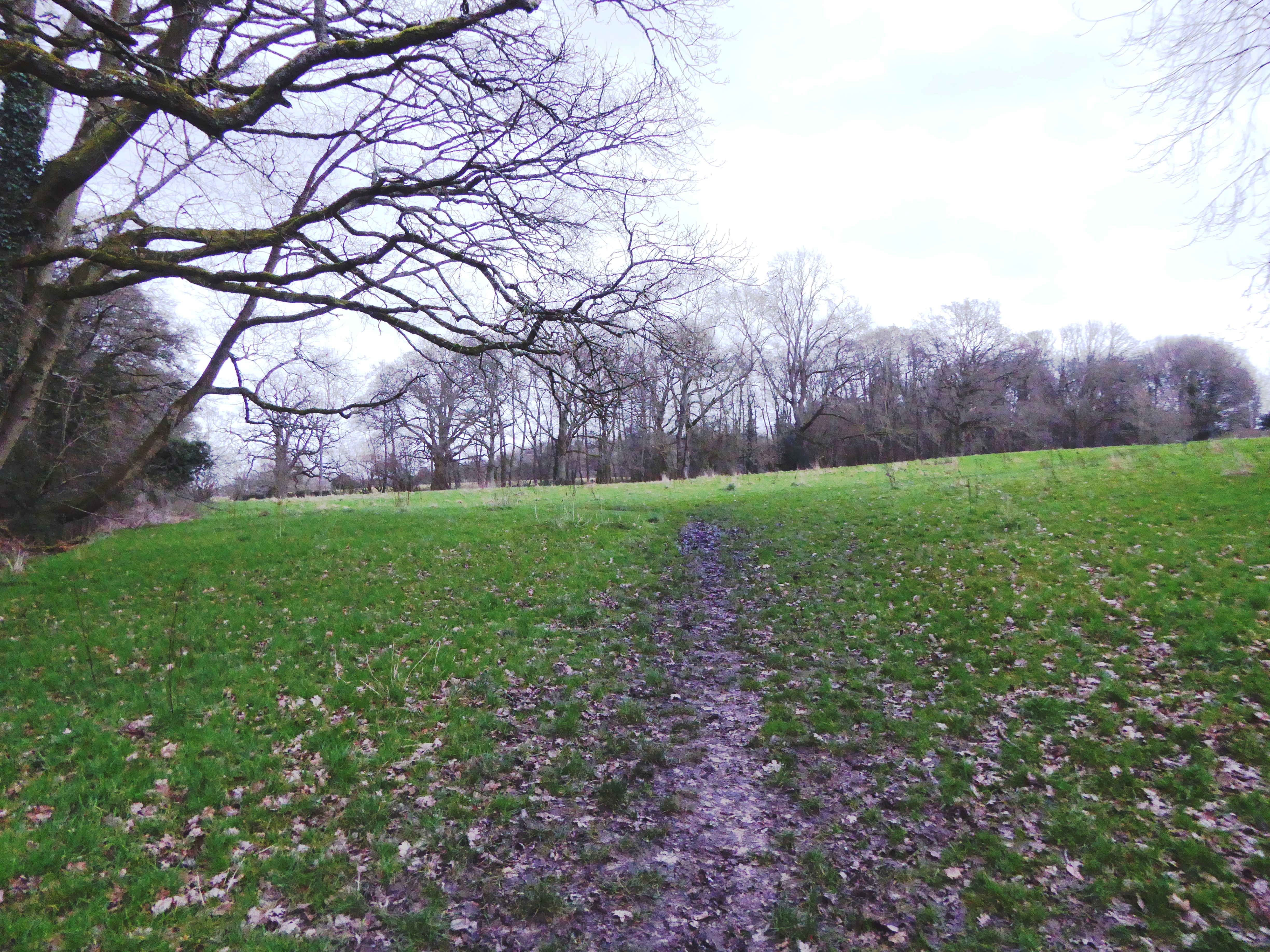
The village is primarily residential, with a small population of around 500 residents. The architecture of Bury's Bank reflects its historical roots, with several traditional cottages and farmhouses scattered throughout the area. The village is surrounded by rolling hills and farmland, providing a beautiful backdrop for residents and visitors alike.
Despite its small size, Bury's Bank boasts a strong sense of community. The village has a local primary school, which serves the educational needs of the children in the area. Additionally, there is a village hall that hosts various events and activities throughout the year, bringing residents together and fostering a sense of camaraderie.
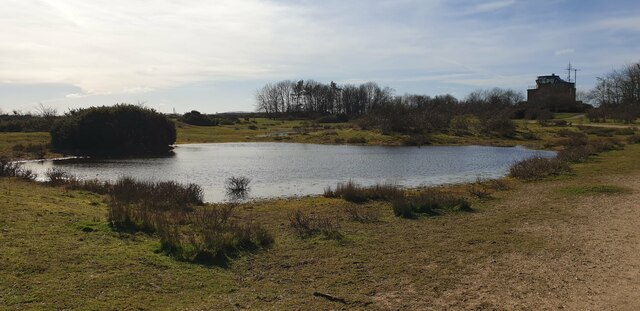
Nature enthusiasts will find plenty to explore in Bury's Bank and its surrounding areas. The village is located close to the River Thames, offering opportunities for riverside walks and picnics. There are also several nature reserves nearby, such as the nearby Moor Copse Nature Reserve, which is popular for birdwatching and wildlife spotting.
Overall, Bury's Bank is a charming village in Berkshire that offers a peaceful and picturesque setting for its residents. With its strong sense of community and proximity to nature, it is an ideal place for those seeking a slower pace of life.
If you have any feedback on the listing, please let us know in the comments section below.
Bury's Bank Images
Images are sourced within 2km of 51.382943/-1.294802 or Grid Reference SU4965. Thanks to Geograph Open Source API. All images are credited.


Bury's Bank is located at Grid Ref: SU4965 (Lat: 51.382943, Lng: -1.294802)
Unitary Authority: West Berkshire
Police Authority: Thames Valley
What 3 Words
///paint.gangs.copies. Near Greenham, Berkshire
Nearby Locations
Related Wikis
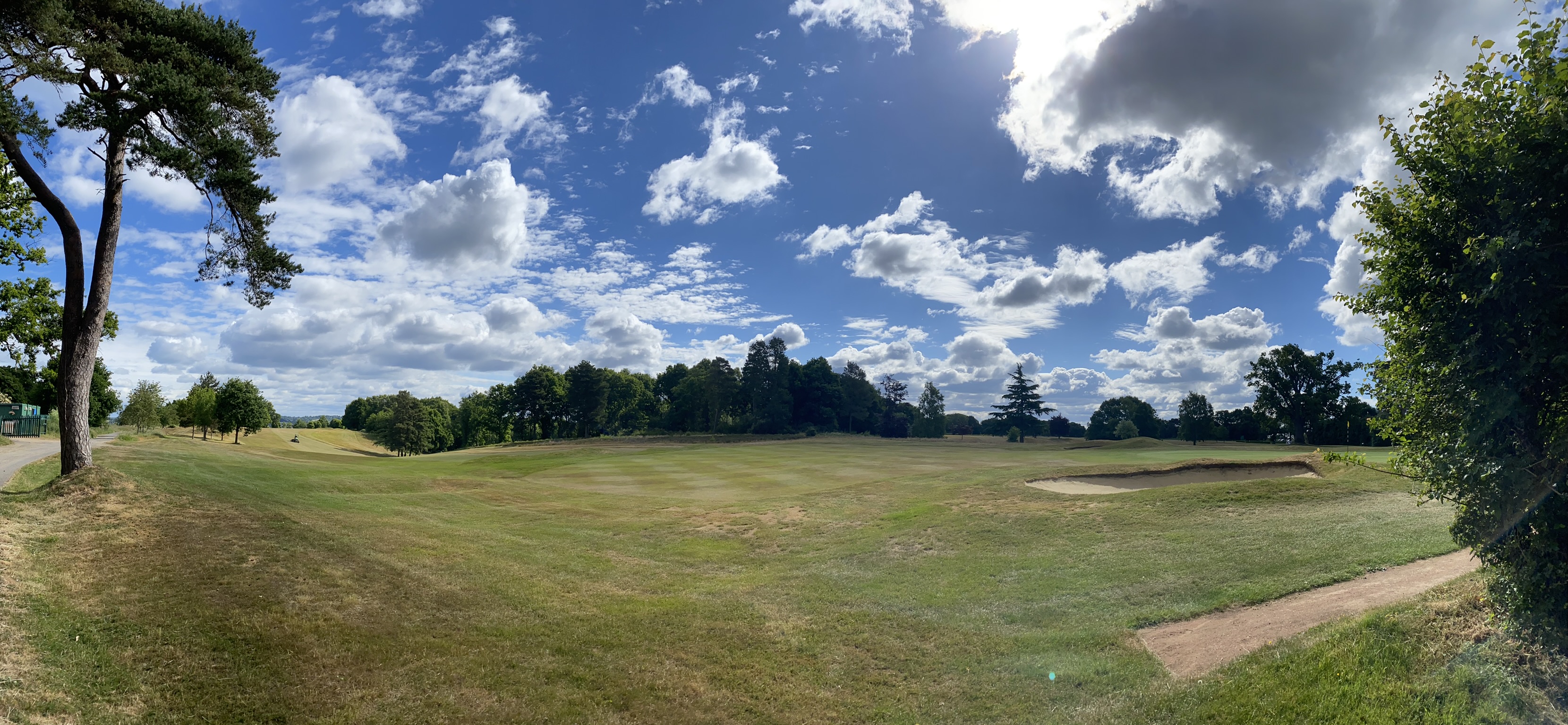
Newbury & Crookham Golf Club
Newbury & Crookham Golf Club is located about two miles from the centre of Newbury, Berkshire on the fringes of Greenham Common. The Club is the result...

Greenham
Greenham is a village and civil parish in Berkshire, England. Greenham commences immediately south-east of Newbury and is in West Berkshire. It was recorded...
Audrey's Meadow
Audrey's Meadow is a 2-hectare (4.9-acre) nature reserve in Newbury in Berkshire. It is owned by West Berkshire Council and managed by the Berkshire,...

RAF Greenham Common
Royal Air Force Greenham Common or more simply RAF Greenham Common is a former Royal Air Force station in the civil parishes of Greenham and Thatcham in...
Nearby Amenities
Located within 500m of 51.382943,-1.294802Have you been to Bury's Bank?
Leave your review of Bury's Bank below (or comments, questions and feedback).