Burythorpe
Settlement in Yorkshire Ryedale
England
Burythorpe

Burythorpe is a small village located in the Ryedale district of North Yorkshire, England. Situated approximately 8 miles east of Malton and just south of the Yorkshire Wolds, it is a picturesque rural settlement with a population of around 200 people.
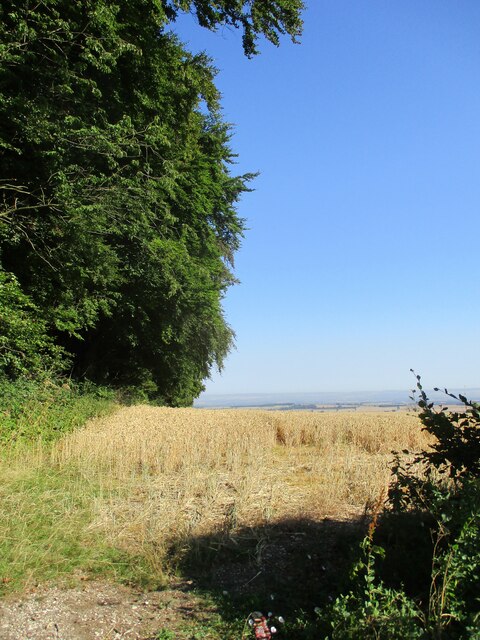
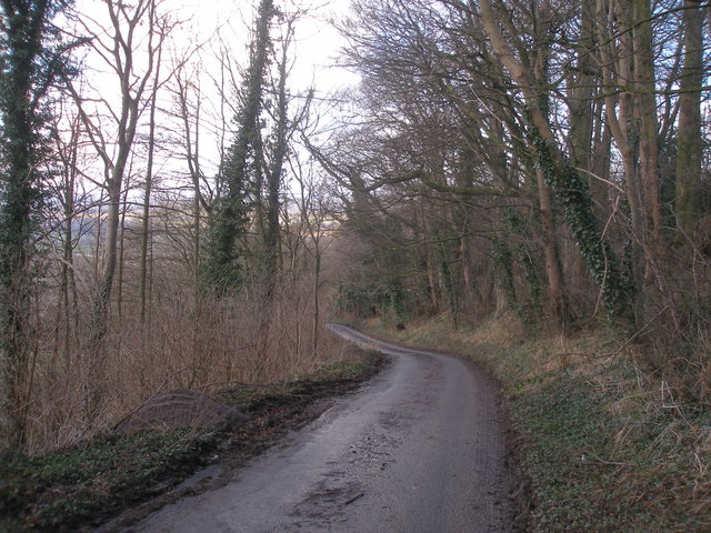
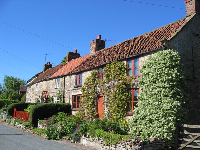
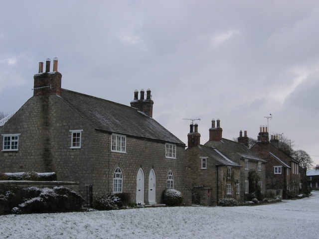
The village is characterized by its charming and well-preserved traditional architecture, featuring a mix of stone-built cottages, farmhouses, and a few larger houses. Burythorpe is surrounded by beautiful open countryside, offering stunning views and ample opportunities for outdoor activities such as walking and cycling.
The heart of the village is centered around the Church of St. Andrew, a Grade II listed building dating back to the 12th century. The churchyard is a peaceful and serene spot, providing a place for quiet reflection and a connection to the village's long history.
Despite its small size, Burythorpe offers some amenities for residents and visitors. There is a village pub, The Bay Horse Inn, which serves traditional pub food and offers a warm and friendly atmosphere. Additionally, the village has a bed and breakfast, allowing visitors to experience the tranquility of the area.
Burythorpe is conveniently located for exploring the wider region. It is within easy reach of the bustling market town of Malton, which offers a range of shops, restaurants, and cultural attractions. The North York Moors National Park is also nearby, providing further opportunities for outdoor enthusiasts.
In summary, Burythorpe is a delightful village in the heart of the Yorkshire countryside, offering a peaceful and idyllic retreat for those seeking a tranquil rural experience.
If you have any feedback on the listing, please let us know in the comments section below.
Burythorpe Images
Images are sourced within 2km of 54.071643/-0.793078 or Grid Reference SE7964. Thanks to Geograph Open Source API. All images are credited.


Burythorpe is located at Grid Ref: SE7964 (Lat: 54.071643, Lng: -0.793078)
Division: East Riding
Administrative County: North Yorkshire
District: Ryedale
Police Authority: North Yorkshire
What 3 Words
///ditched.hobbit.refills. Near Kirby Underdale, East Yorkshire
Nearby Locations
Related Wikis
Burythorpe
Burythorpe is a village and civil parish in North Yorkshire, England, about 4 miles (6 km) south of Malton. According to the 2001 census it had a population...

Kennythorpe
Kennythorpe is a hamlet in the civil parish of Burythorpe, North Yorkshire, England. It is 4 miles (6 km) south from Malton, and between the village of...

Leavening, North Yorkshire
Leavening is a village and civil parish in the Ryedale district of North Yorkshire, England. The village is situated approximately 13 miles (20 km) north...
Birdsall House
Birdsall House is an English country house in Birdsall, North Yorkshire. It is a Grade II* listed building.The house dates from the late 16th century but...

Eddlethorpe
Eddlethorpe is a hamlet in North Yorkshire, England. It is approximately 4 miles (6 km) south from Malton, and between the village of Langton to the east...
Langton, North Yorkshire
Langton is a village and civil parish in North Yorkshire, England. It is situated 3.5 miles (6 km) south from the market town of Malton. The population...

Buckrose
Buckrose was a wapentake of the historic East Riding of Yorkshire, England consisting of the north-west part of the county; its territory is now partly...

Woodleigh School, North Yorkshire
Woodleigh School was a preparatory school for boys and girls aged 3 to 13, located in the village of Langton, North Yorkshire, England. It was established...
Nearby Amenities
Located within 500m of 54.071643,-0.793078Have you been to Burythorpe?
Leave your review of Burythorpe below (or comments, questions and feedback).