Barnclose Copse
Wood, Forest in Berkshire
England
Barnclose Copse

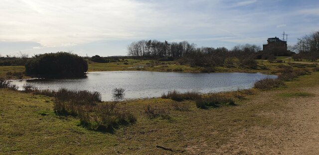
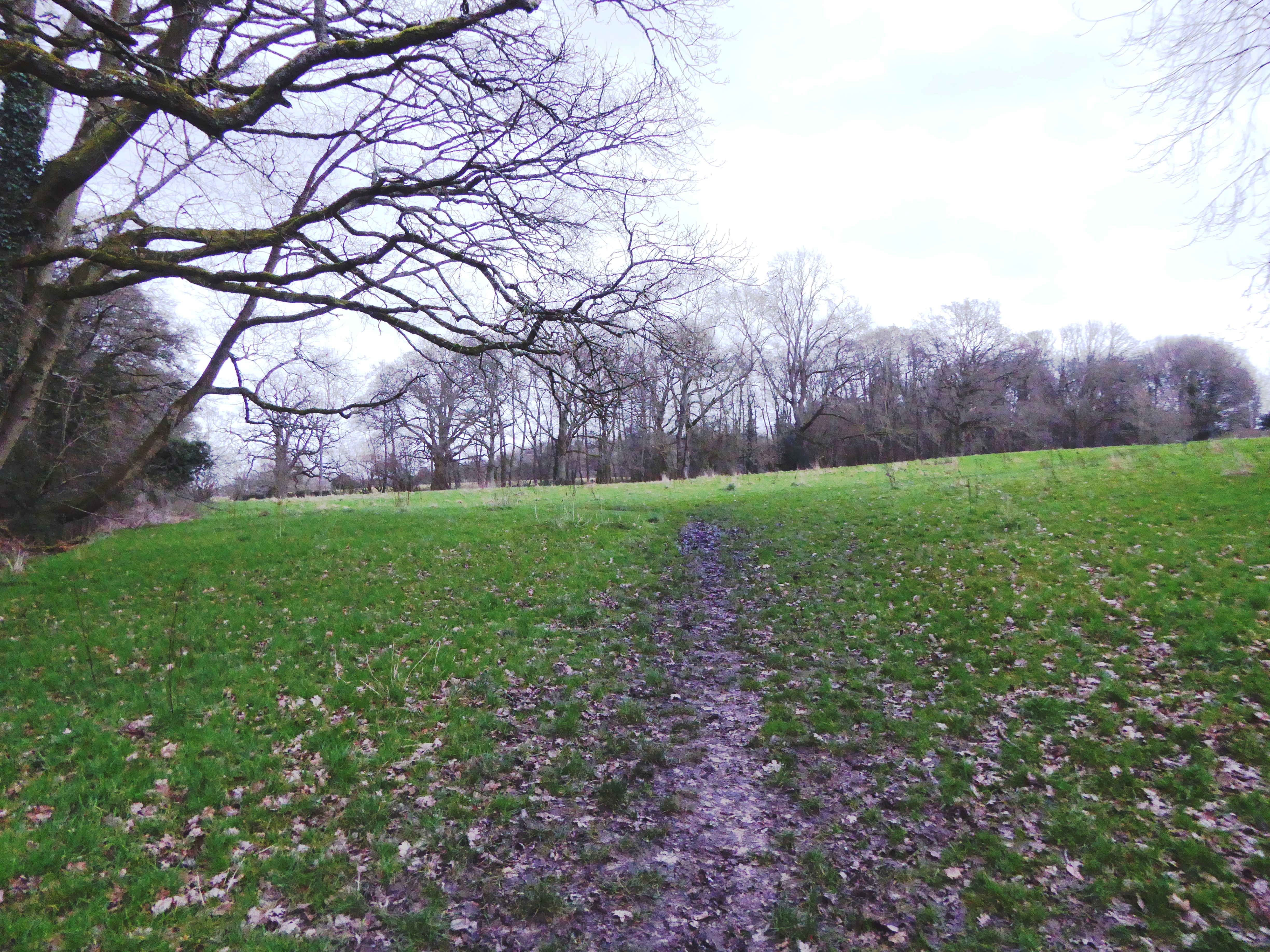
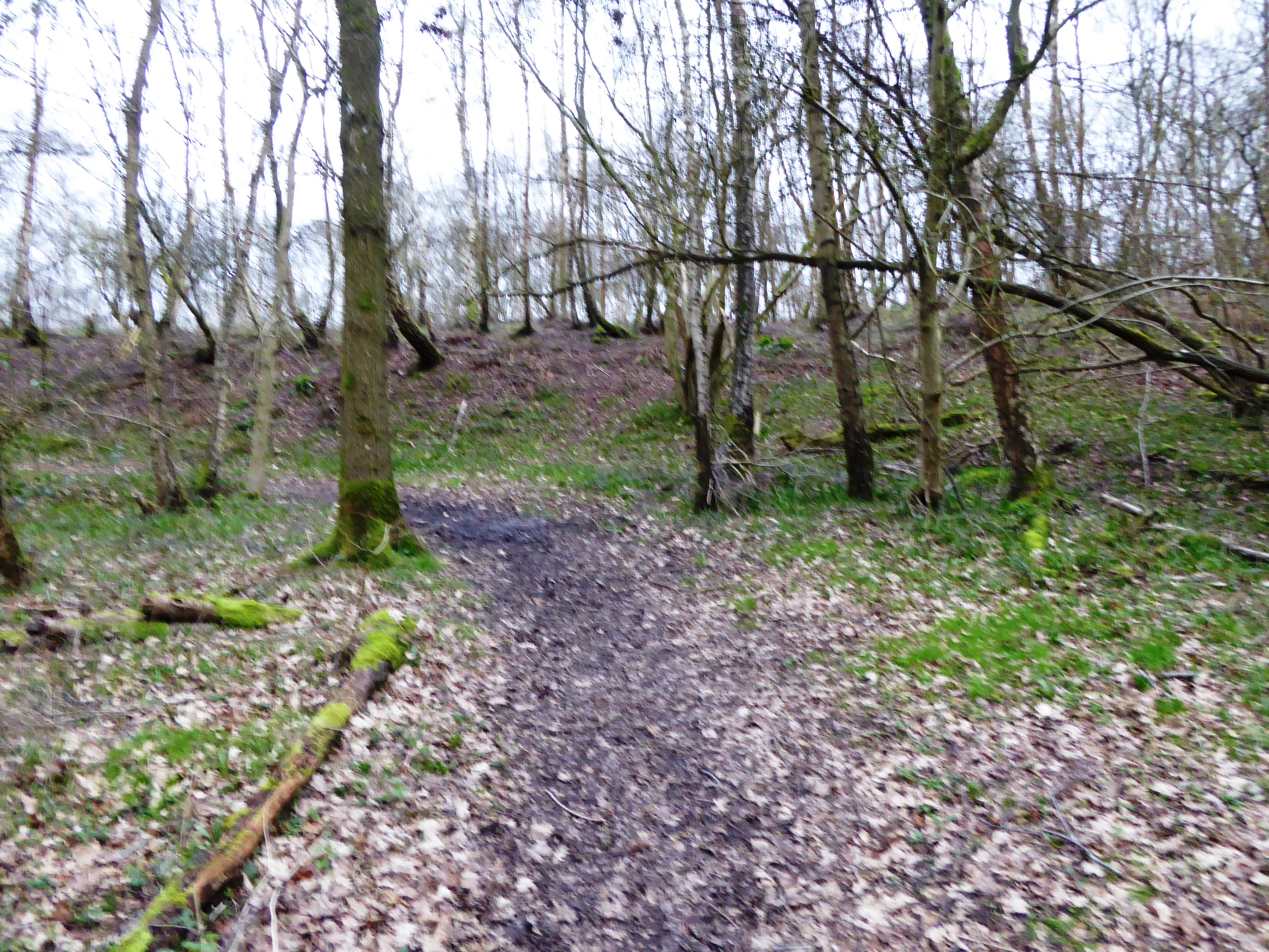
Barnclose Copse is a picturesque woodland located in the county of Berkshire, England. With its dense foliage and tranquil atmosphere, it serves as an idyllic retreat for nature enthusiasts and hikers alike. The copse covers an expansive area of approximately 100 acres, making it a significant natural feature in the region.
The woodland is predominantly composed of native broadleaf trees such as oak, beech, and birch, creating a diverse and vibrant ecosystem. The thick canopy of foliage provides ample shade during the summer months, making it a popular destination for locals seeking respite from the heat.
The copse is intersected by several winding footpaths, allowing visitors to explore its hidden gems at their own pace. These trails provide an opportunity to witness the copse's rich biodiversity up close, with sightings of various wildlife species including deer, squirrels, and a multitude of bird species.
Barnclose Copse is also home to a number of small streams and ponds, adding to its charm and providing a water source for the flora and fauna that inhabit the area. The babbling of water and the chirping of birds serve as a soothing soundtrack, further enhancing the copse's serene ambiance.
Managed by local authorities, Barnclose Copse offers a peaceful and well-maintained environment for visitors to enjoy. It is a popular destination for activities such as walking, birdwatching, and photography. Whether seeking solitude or a family outing, Barnclose Copse provides a haven of natural beauty in the heart of Berkshire.
If you have any feedback on the listing, please let us know in the comments section below.
Barnclose Copse Images
Images are sourced within 2km of 51.389506/-1.2858018 or Grid Reference SU4965. Thanks to Geograph Open Source API. All images are credited.


Barnclose Copse is located at Grid Ref: SU4965 (Lat: 51.389506, Lng: -1.2858018)
Unitary Authority: West Berkshire
Police Authority: Thames Valley
What 3 Words
///nerve.tribe.inch. Near Greenham, Berkshire
Nearby Locations
Related Wikis
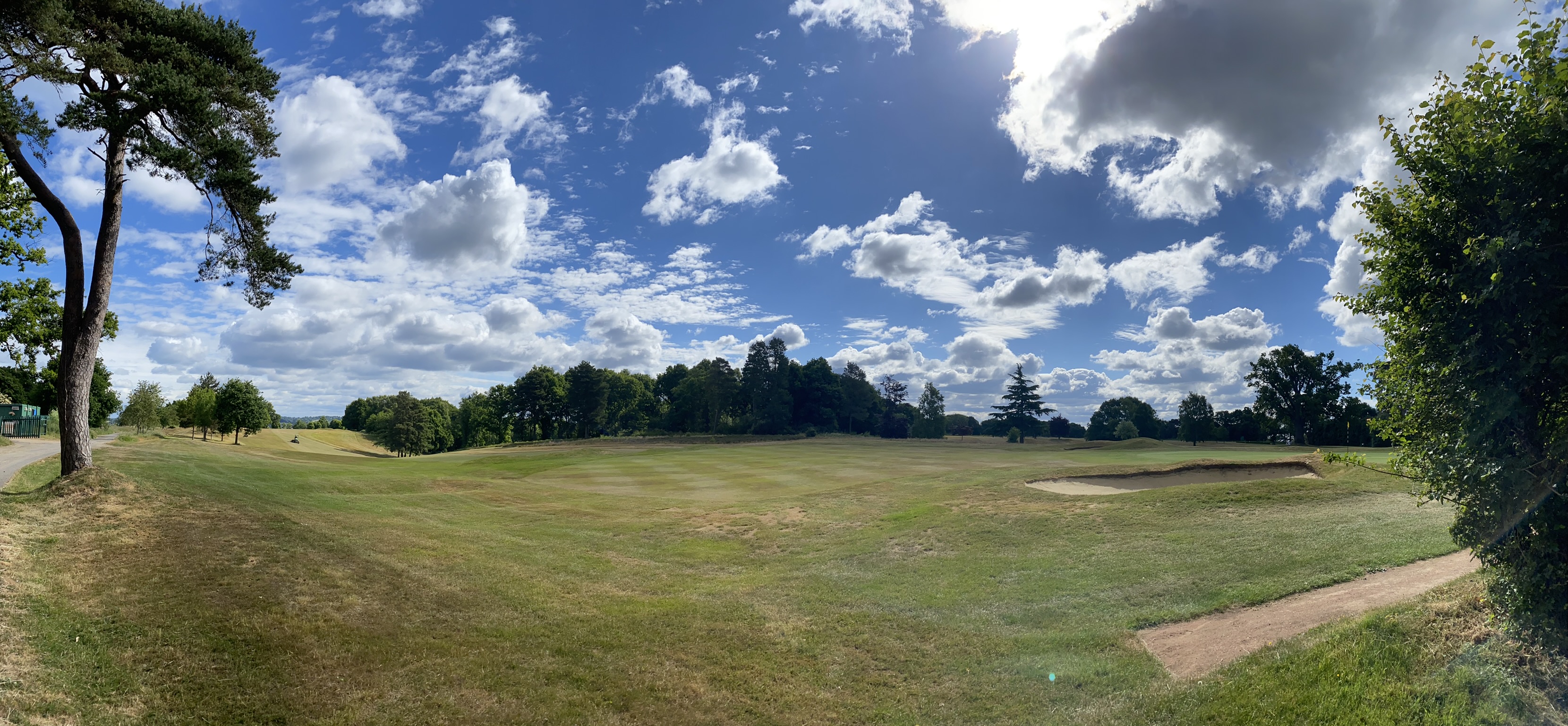
Newbury & Crookham Golf Club
Newbury & Crookham Golf Club is located about two miles from the centre of Newbury, Berkshire on the fringes of Greenham Common. The Club is the result...
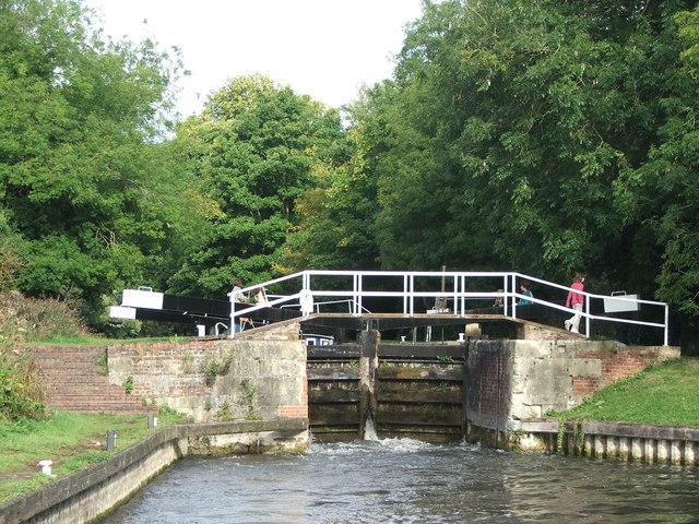
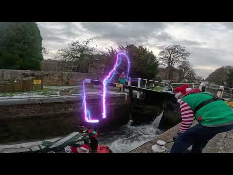
Bull's Lock
Bull's Lock is a lock on the Kennet and Avon Canal, at Newbury, Berkshire, England. Bull's Lock was built between 1718 and 1723 under the supervision of...

Thatcham Reed Beds
Thatcham Reed Beds is a 67.4-hectare (167-acre) biological Site of Special Scientific Interest east of Newbury in Berkshire. It is part of the Kennet...

Widmead Lock
Widmead Lock is a lock on the Kennet and Avon Canal, between Newbury and Thatcham, Berkshire, England. Widmead Lock was built between 1718 and 1723 under...

Newbury Racecourse
Newbury Racecourse is a racecourse and events venue in the civil parish of Greenham, adjoining the town of Newbury in Berkshire, England. It has courses...
Audrey's Meadow
Audrey's Meadow is a 2-hectare (4.9-acre) nature reserve in Newbury in Berkshire. It is owned by West Berkshire Council and managed by the Berkshire,...
Bowdown and Chamberhouse Woods
Bowdown and Chamberhouse Woods is a 67.9-hectare (168-acre) biological Site of Special Scientific Interest south of Thatcham in Berkshire. An area of 55...

Greenham
Greenham is a village and civil parish in Berkshire, England. Greenham commences immediately south-east of Newbury and is in West Berkshire. It was recorded...
Related Videos

Walking Through a Victorian Christmas Fayre in Newbury, United Kingdom
Join me walking around the Victorian Christmas Fayre in Newbury, Berkshire. We pass street entertainers, Christmas lights, ...

Newbury Walking Tour
Newbury is a market town in the county of Berkshire, England, which is home to the administrative headquarters of West Berkshire ...
Nearby Amenities
Located within 500m of 51.389506,-1.2858018Have you been to Barnclose Copse?
Leave your review of Barnclose Copse below (or comments, questions and feedback).