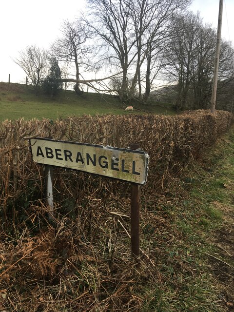
Aberangell
Settlement in Merionethshire / Montgomeryshire
Wales
Aberangell
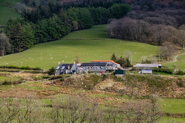
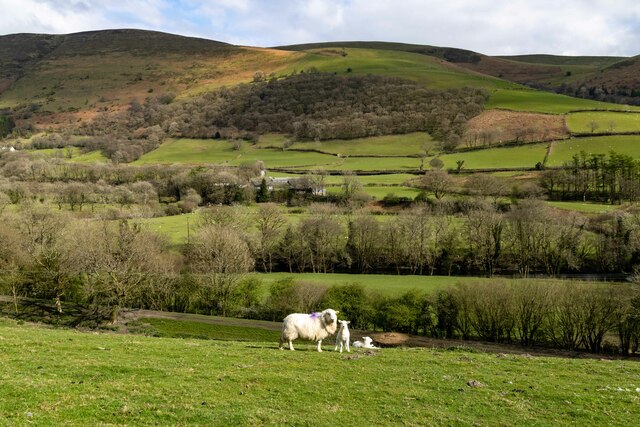
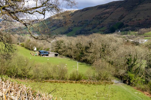
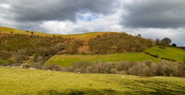
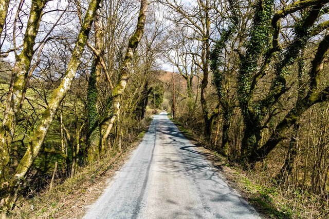
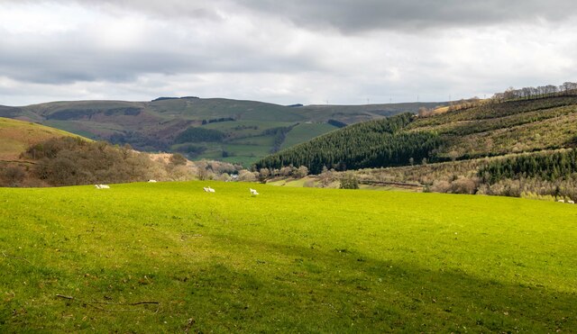
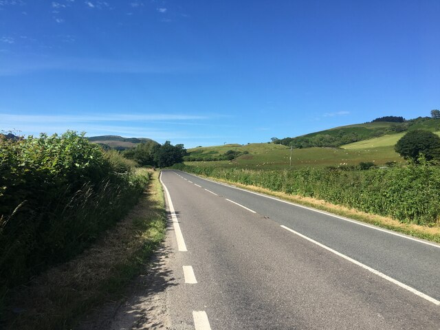
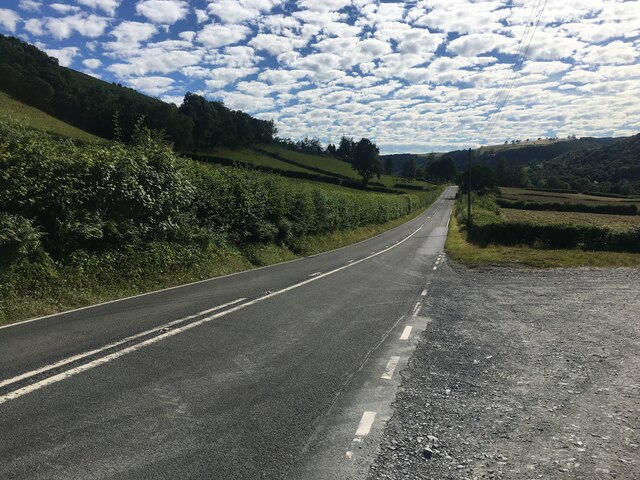
Aberangell is a village located on the banks of the River Dyfi in the historic counties of Merionethshire and Montgomeryshire, Wales. It is situated amidst the scenic landscapes of Snowdonia National Park, offering breathtaking views of mountains, forests, and the river valley.
The village has a rich history dating back to Roman times, and evidence of ancient settlements and fortifications can still be found in the surrounding areas. Aberangell was once an important stop on the drovers' road, where cattle were driven from the uplands to market towns. Today, it retains its rural charm and tranquility, attracting visitors seeking a peaceful escape.
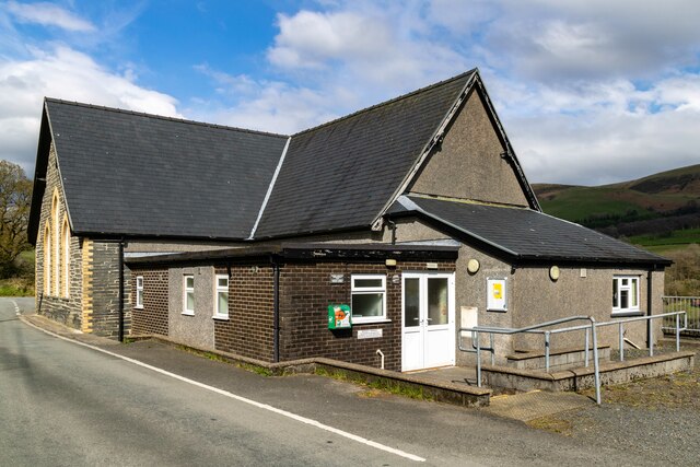
The village itself is small, with a population of around 150 people. Its architecture reflects its heritage, with a mix of traditional stone cottages and more modern buildings. Aberangell is known for its picturesque church, St. Mael and St. Sulien's, which dates back to the 12th century and features a unique circular nave.
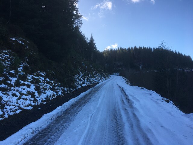
Outdoor enthusiasts are drawn to Aberangell for its proximity to nature. The surrounding area offers numerous opportunities for hiking, cycling, and wildlife spotting. The nearby Dyfi Forest is a haven for nature lovers, with its diverse flora and fauna, including rare bird species. The river provides a picturesque setting for fishing and kayaking.
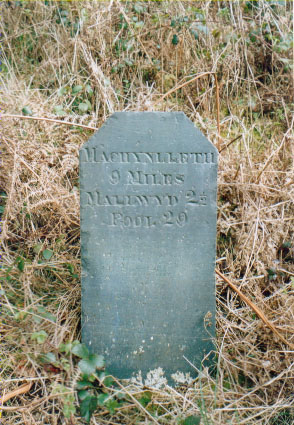
Although Aberangell is a peaceful village, it is not far from larger towns such as Machynlleth and Dolgellau, where visitors can find a wider range of amenities, including shops, restaurants, and cultural attractions. Overall, Aberangell is a hidden gem in the heart of Wales, offering a perfect blend of tranquility and natural beauty.
If you have any feedback on the listing, please let us know in the comments section below.
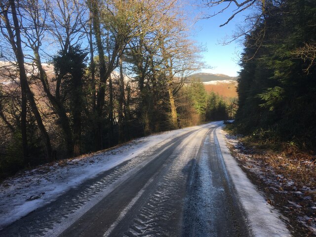
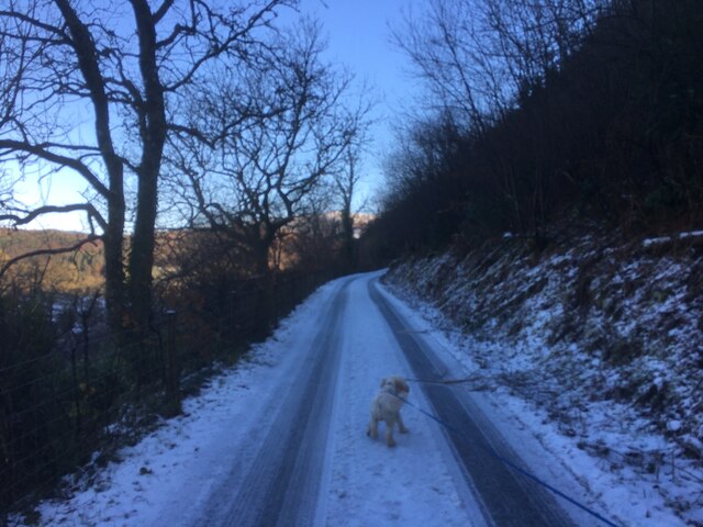
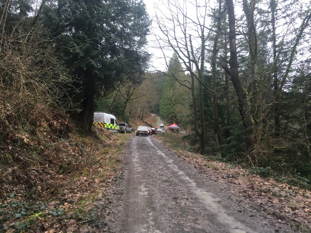
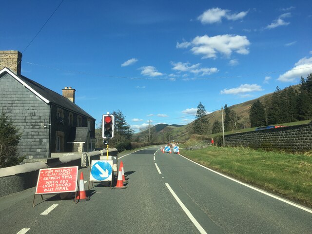
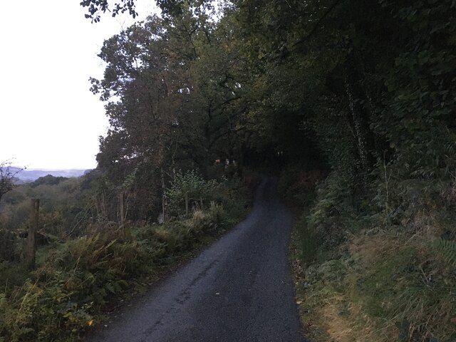
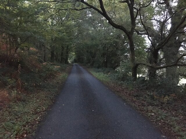
Aberangell Images
Images are sourced within 2km of 52.673974/-3.710444 or Grid Reference SH8409. Thanks to Geograph Open Source API. All images are credited.
Aberangell is located at Grid Ref: SH8409 (Lat: 52.673974, Lng: -3.710444)
Unitary Authority: Gwynedd
Police Authority: North Wales
What 3 Words
///digress.swooning.deeply. Near Cwm-Llinau, Powys
Nearby Locations
Related Wikis

Aberangell
Aberangell () is a village in Gwynedd, Wales. == Geography == Aberangell stands at the confluence of the Afon Angell and the Afon Dyfi, and lies within...

Aberangell railway station
Aberangell railway station was an intermediate railway station on the Mawddwy Railway which ran from Cemmaes Road to Dinas Mawddy in the Welsh county...

Afon Angell
The Afon Angell is a river in Gwynedd, Mid Wales. The river flows eastwards from its source on the eastern flank of Mynydd Dolgoed, joining the Afon Dyfi...
Moel y Ffridd
Moel y Ffridd (also known as Foel y Ffridd) is a mountain in Wales. It lies north-west of the village of Aberangell and west of Mallwyd and is one of the...
Nearby Amenities
Located within 500m of 52.673974,-3.710444Have you been to Aberangell?
Leave your review of Aberangell below (or comments, questions and feedback).