Mawddwy
Community in Montgomeryshire
Wales
Mawddwy
Mawddwy is a community located in the county of Montgomeryshire, Wales. Situated in the southeastern part of the county, it is nestled within the picturesque Dyfi Forest and bordered by the River Dovey to the east. The community covers an area of approximately 64 square kilometers and consists of several small villages and hamlets.
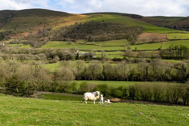
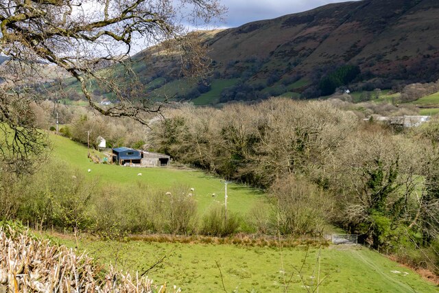
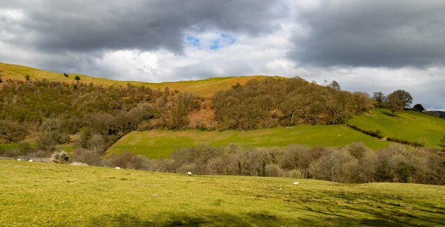
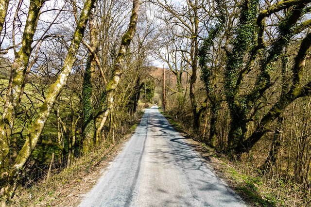
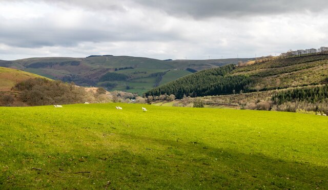
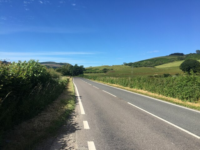
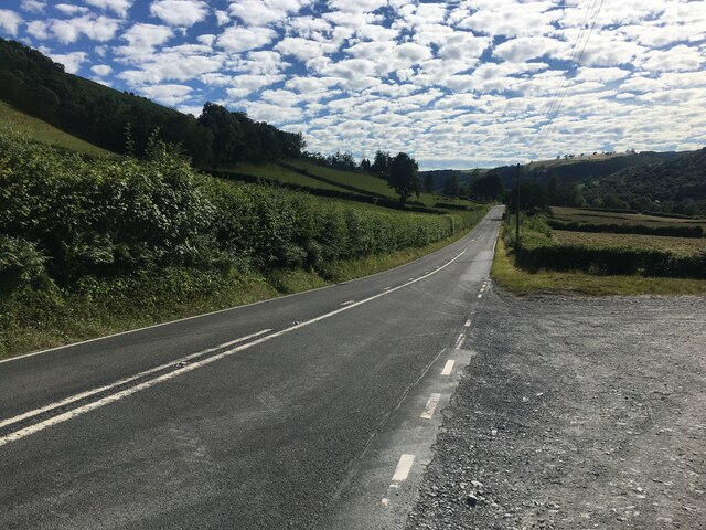
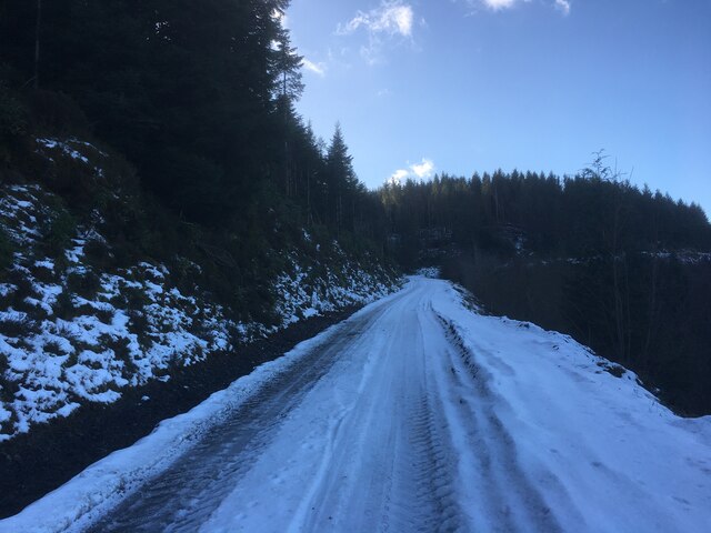
The area is renowned for its stunning natural beauty, with rolling hills, lush green valleys, and dense woodlands dominating the landscape. Mawddwy attracts outdoor enthusiasts and nature lovers due to its abundance of walking trails, cycling routes, and opportunities for fishing in the nearby rivers and lakes.
The community has a rich history, with evidence of human settlement dating back to the Bronze Age. It was once a thriving mining area, particularly for lead and gold, and remnants of the industry can still be seen in the form of old mine workings and ruins. The local economy now mainly relies on agriculture and tourism.
Despite its relatively small size, Mawddwy offers a range of amenities and services to its residents and visitors. These include a post office, a primary school, a village hall, and several traditional pubs and guesthouses. The community also hosts various cultural events and festivals throughout the year, celebrating the local heritage and providing entertainment for both locals and tourists.
Overall, Mawddwy is a charming and idyllic community that offers a peaceful retreat for those seeking to explore the natural beauty of Montgomeryshire.
If you have any feedback on the listing, please let us know in the comments section below.
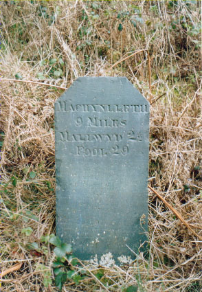
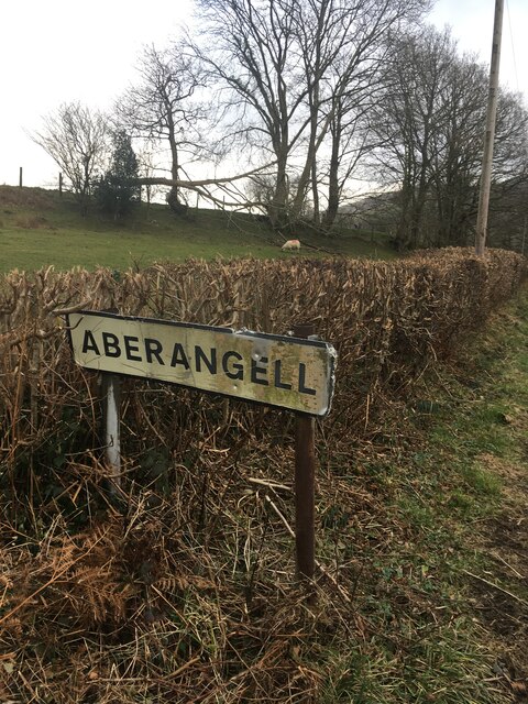
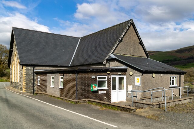
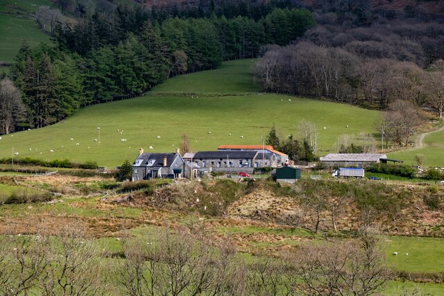
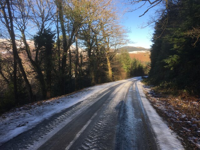
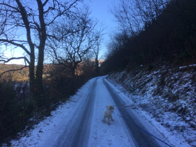
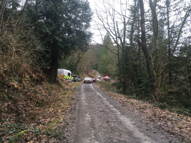
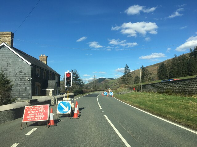
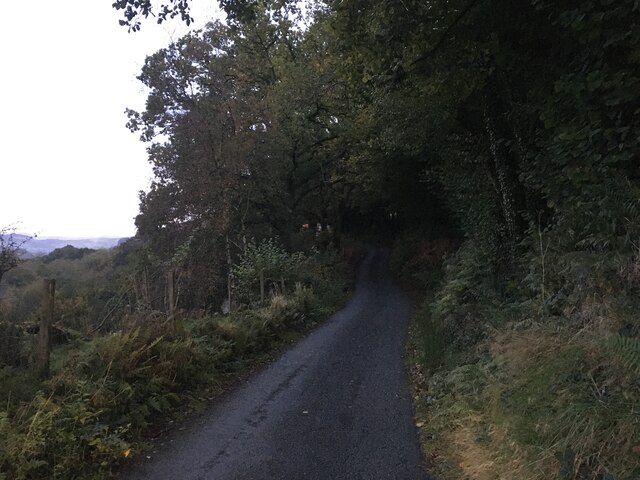
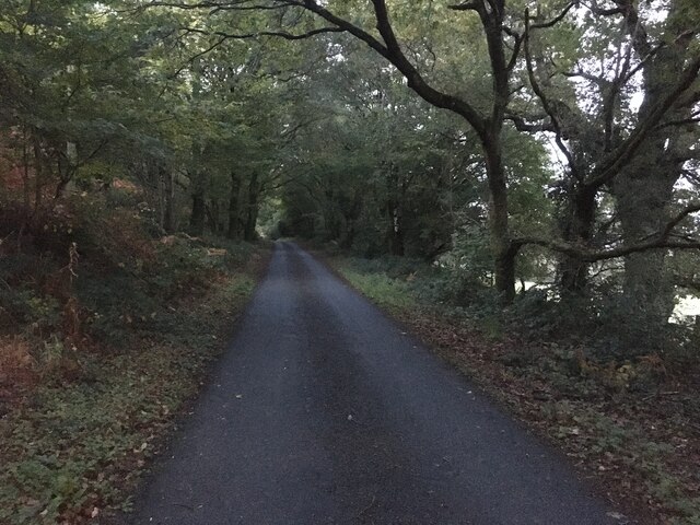
Mawddwy Images
Images are sourced within 2km of 52.673124/-3.710204 or Grid Reference SH8409. Thanks to Geograph Open Source API. All images are credited.
Mawddwy is located at Grid Ref: SH8409 (Lat: 52.673124, Lng: -3.710204)
Unitary Authority: Gwynedd
Police Authority: North Wales
What 3 Words
///skinning.headset.podcast. Near Cwm-Llinau, Powys
Nearby Locations
Related Wikis

Afon Angell
The Afon Angell is a river in Gwynedd, Mid Wales. The river flows eastwards from its source on the eastern flank of Mynydd Dolgoed, joining the Afon Dyfi...

Aberangell
Aberangell () is a village in Gwynedd, Wales. == Geography == Aberangell stands at the confluence of the Afon Angell and the Afon Dyfi, and lies within...

Aberangell railway station
Aberangell railway station was an intermediate railway station on the Mawddwy Railway which ran from Cemmaes Road to Dinas Mawddy in the Welsh county...
Moel y Ffridd
Moel y Ffridd (also known as Foel y Ffridd) is a mountain in Wales. It lies north-west of the village of Aberangell and west of Mallwyd and is one of the...
Nearby Amenities
Located within 500m of 52.673124,-3.710204Have you been to Mawddwy?
Leave your review of Mawddwy below (or comments, questions and feedback).