Mathri
Community in Pembrokeshire
Wales
Mathri
Mathri is a small community located in the county of Pembrokeshire, Wales. Situated on the western coast of the country, it is a rural area surrounded by picturesque landscapes and close to the stunning Pembrokeshire Coast National Park. The community is made up of a number of small villages and hamlets, including the main village of Mathri.
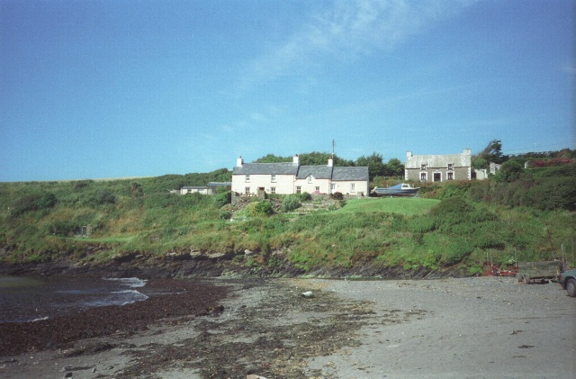
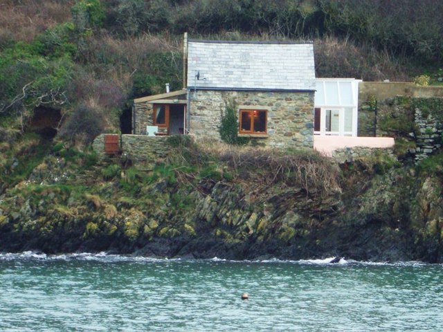
Mathri is known for its tranquility and natural beauty, attracting visitors who seek a peaceful escape from the bustling city life. The village itself is small and charming, with traditional stone houses and a close-knit community. It is home to a parish church, a local pub, and a few shops catering to the basic needs of the residents and tourists.
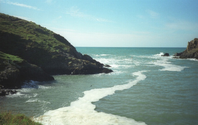
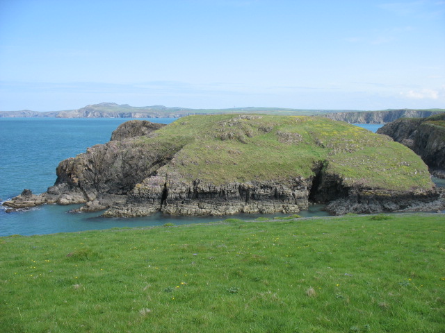
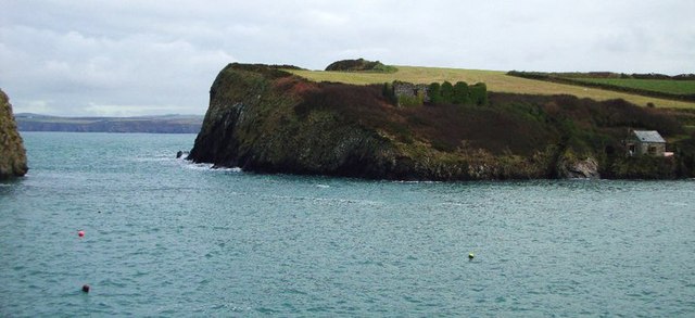
The surrounding countryside offers ample opportunities for outdoor activities, such as hiking, horse riding, and cycling. The nearby coastal areas provide stunning views of the sea and cliffs, attracting nature enthusiasts and photographers. The Pembrokeshire Coast Path, a renowned long-distance walking trail, passes through Mathri, offering visitors the chance to explore the coastal beauty at their own pace.
Despite its small size, Mathri has a strong sense of community spirit, with regular events and gatherings organized by local residents. The village also holds an annual summer fair, which brings together locals and visitors for a day of fun and celebration.
Overall, Mathri is a charming and scenic community that offers a peaceful retreat for those seeking a break from the urban hustle. Its natural beauty, friendly atmosphere, and proximity to the Pembrokeshire Coast make it an ideal destination for nature lovers and those looking to explore the outdoors.
If you have any feedback on the listing, please let us know in the comments section below.
Mathri Images
Images are sourced within 2km of 51.95556/-5.110896 or Grid Reference SM8633. Thanks to Geograph Open Source API. All images are credited.


Mathri is located at Grid Ref: SM8633 (Lat: 51.95556, Lng: -5.110896)
Unitary Authority: Pembrokeshire
Police Authority: Dyfed-Powys
Also known as: Mathry
What 3 Words
///modem.safari.twig. Near Mathry, Pembrokeshire
Nearby Locations
Related Wikis

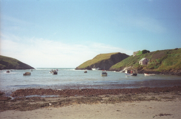
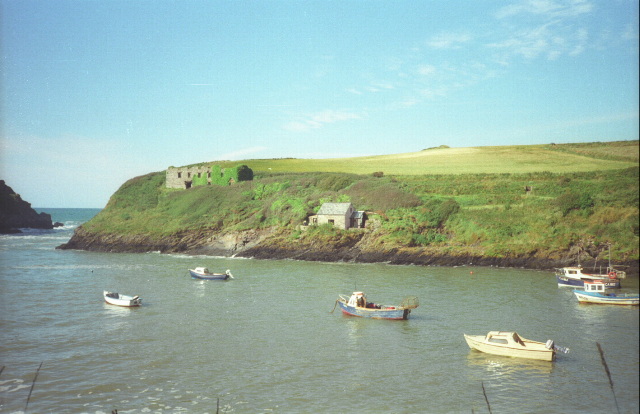
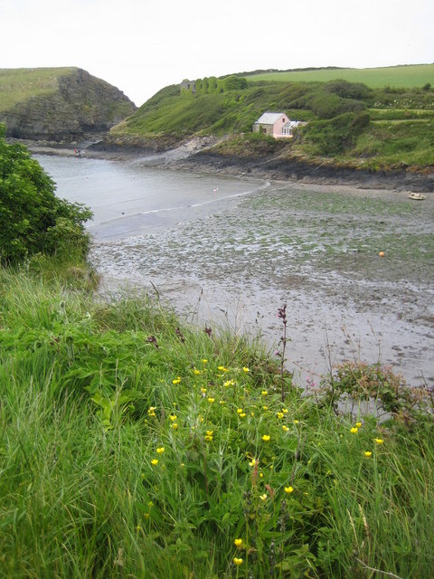
Abercastle
Abercastle (Welsh: Abercastell) is a village in Pembrokeshire, Wales. Abercastle has a working harbour which is managed by Abercastle Boat Owners Association...

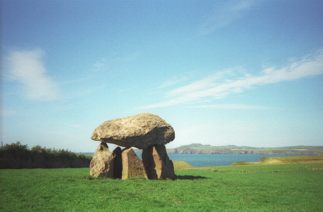
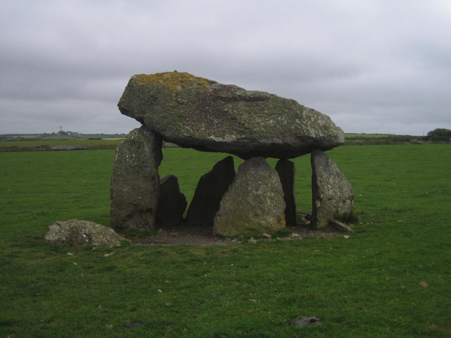
Carreg Samson
Carreg Samson (also known as Carreg Sampson, Samson's Stone, or the Longhouse) is a 5000-year-old Neolithic dolmen located half a mile west of Abercastle...

Mathry
Mathry (Welsh: Mathri) is a village, community and parish in Pembrokeshire, Wales. The hilltop village is 6 miles (9.7 km) southwest of Fishguard, close...
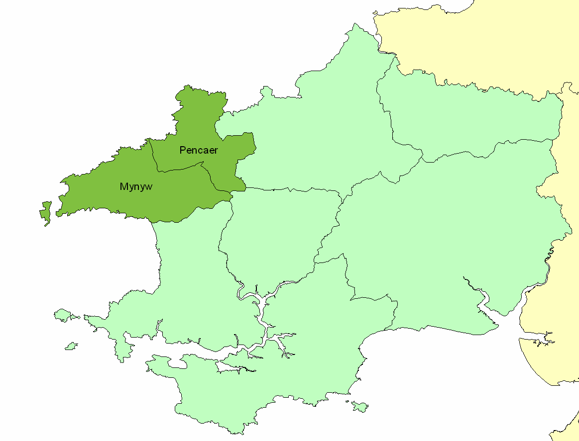
Dewisland
The Hundred of Dewisland (often written "Dewsland") was a hundred in northwest Pembrokeshire, Wales. Formerly the pre-Norman cantref of Pebidiog, it included...
Nearby Amenities
Located within 500m of 51.95556,-5.110896Have you been to Mathri?
Leave your review of Mathri below (or comments, questions and feedback).