Pwllstrodur
Sea, Estuary, Creek in Pembrokeshire
Wales
Pwllstrodur
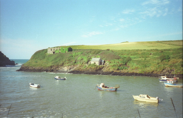
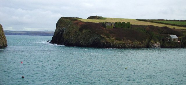
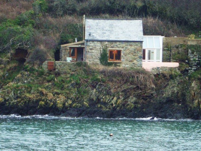
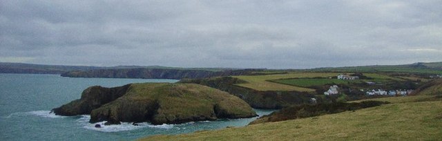
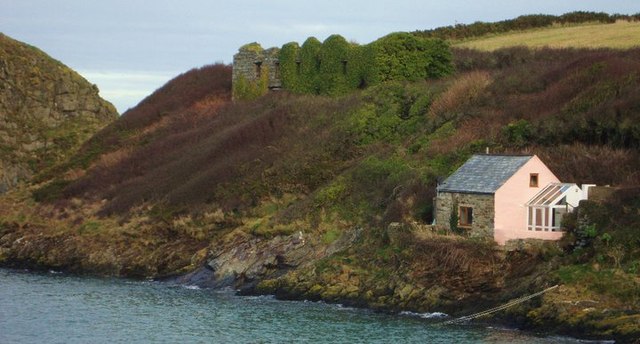
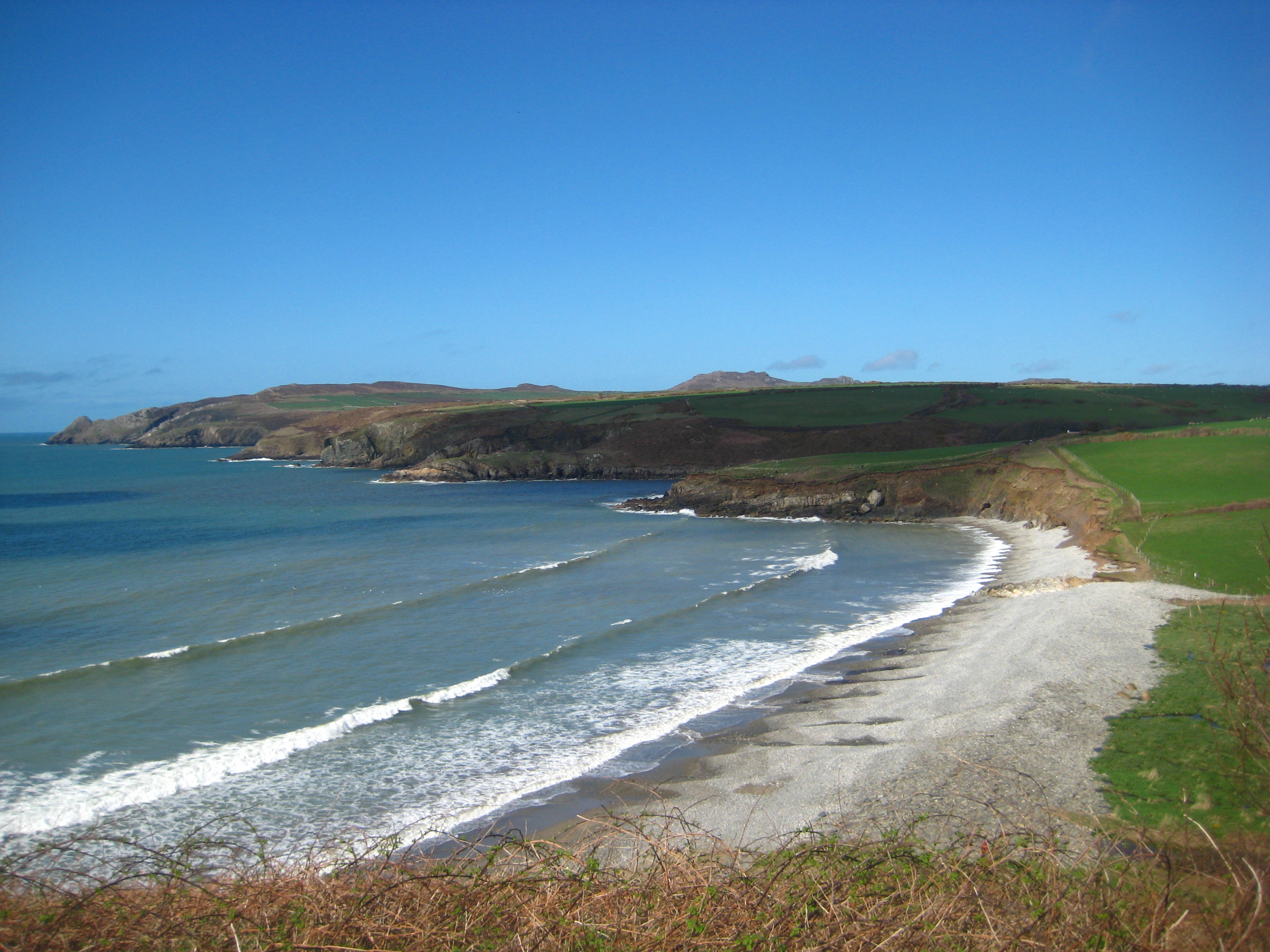
Pwllstrodur is a coastal area located in Pembrokeshire, Wales. It is known for its picturesque sea, estuary, and creek, making it a popular destination for tourists and locals alike.
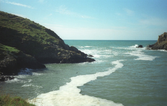
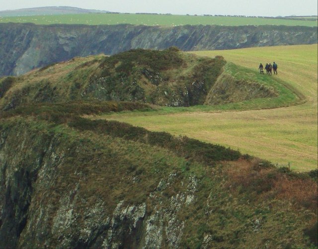
The sea in Pwllstrodur offers breathtaking views of the Celtic Sea, with its crystal-clear waters and pristine sandy beaches. The coastline stretches for miles, providing ample opportunities for swimming, sunbathing, and various water sports activities such as surfing and kayaking.
The estuary is a natural inlet where the sea meets the river, creating a unique ecosystem. Pwllstrodur estuary is home to a diverse range of marine life, including fish, crustaceans, and various bird species. It is a haven for birdwatchers and nature enthusiasts, who can observe the abundant wildlife in its natural habitat.
The creek in Pwllstrodur is a small, narrow waterway that winds through the landscape, offering a peaceful and serene setting. It is an ideal spot for fishing, as the creek is teeming with various species of fish. Visitors can enjoy a day of angling or simply relax by the creek, taking in the tranquil surroundings.
Overall, Pwllstrodur in Pembrokeshire is a scenic coastal area that offers a diverse range of natural attractions. Whether you are looking for a day of adventure or a peaceful getaway, Pwllstrodur has something to offer for everyone.
If you have any feedback on the listing, please let us know in the comments section below.
Pwllstrodur Images
Images are sourced within 2km of 51.961896/-5.1085777 or Grid Reference SM8633. Thanks to Geograph Open Source API. All images are credited.


Pwllstrodur is located at Grid Ref: SM8633 (Lat: 51.961896, Lng: -5.1085777)
Unitary Authority: Pembrokeshire
Police Authority: Dyfed Powys
What 3 Words
///napped.remotest.mainly. Near Mathry, Pembrokeshire
Nearby Locations
Related Wikis

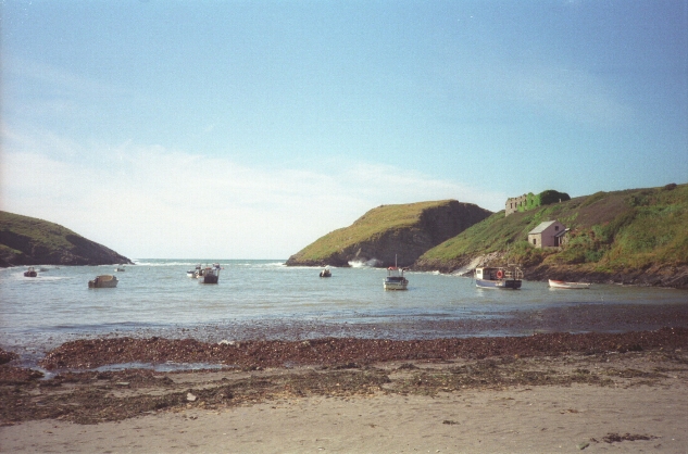
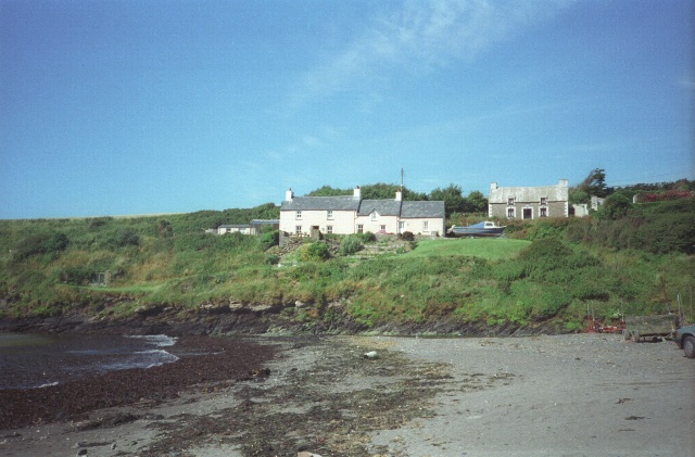
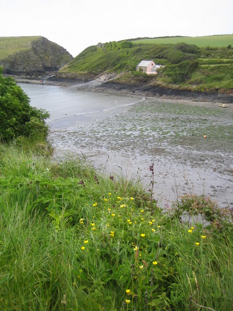
Abercastle
Abercastle (Welsh: Abercastell) is a village in Pembrokeshire, Wales. Abercastle has a working harbour which is managed by Abercastle Boat Owners Association...

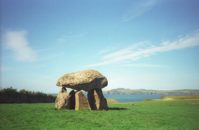
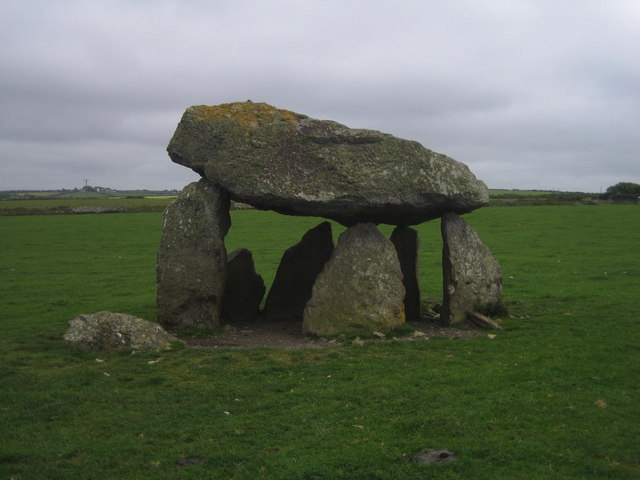
Carreg Samson
Carreg Samson (also known as Carreg Sampson, Samson's Stone, or the Longhouse) is a 5000-year-old Neolithic dolmen located half a mile west of Abercastle...
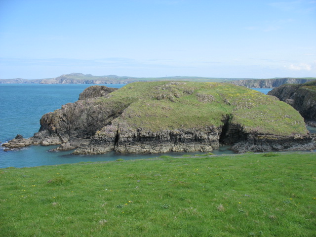
Abermawr
Abermawr is a stretch of coastline and is regarded as a Site of Special Scientific Interest in Pembrokeshire, Wales. Abermawr is a mostly shingle beach...

Mathry
Mathry (Welsh: Mathri) is a village, community and parish in Pembrokeshire, Wales. The hilltop village is 6 miles (9.7 km) southwest of Fishguard, close...
Have you been to Pwllstrodur?
Leave your review of Pwllstrodur below (or comments, questions and feedback).