Aberargie
Settlement in Perthshire
Scotland
Aberargie
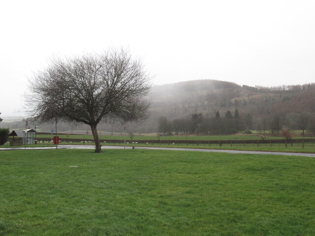
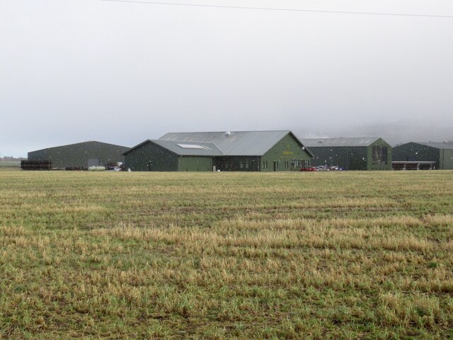
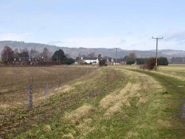
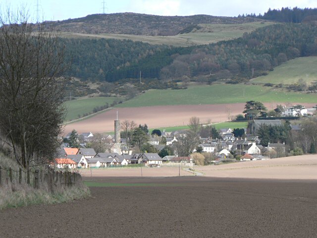
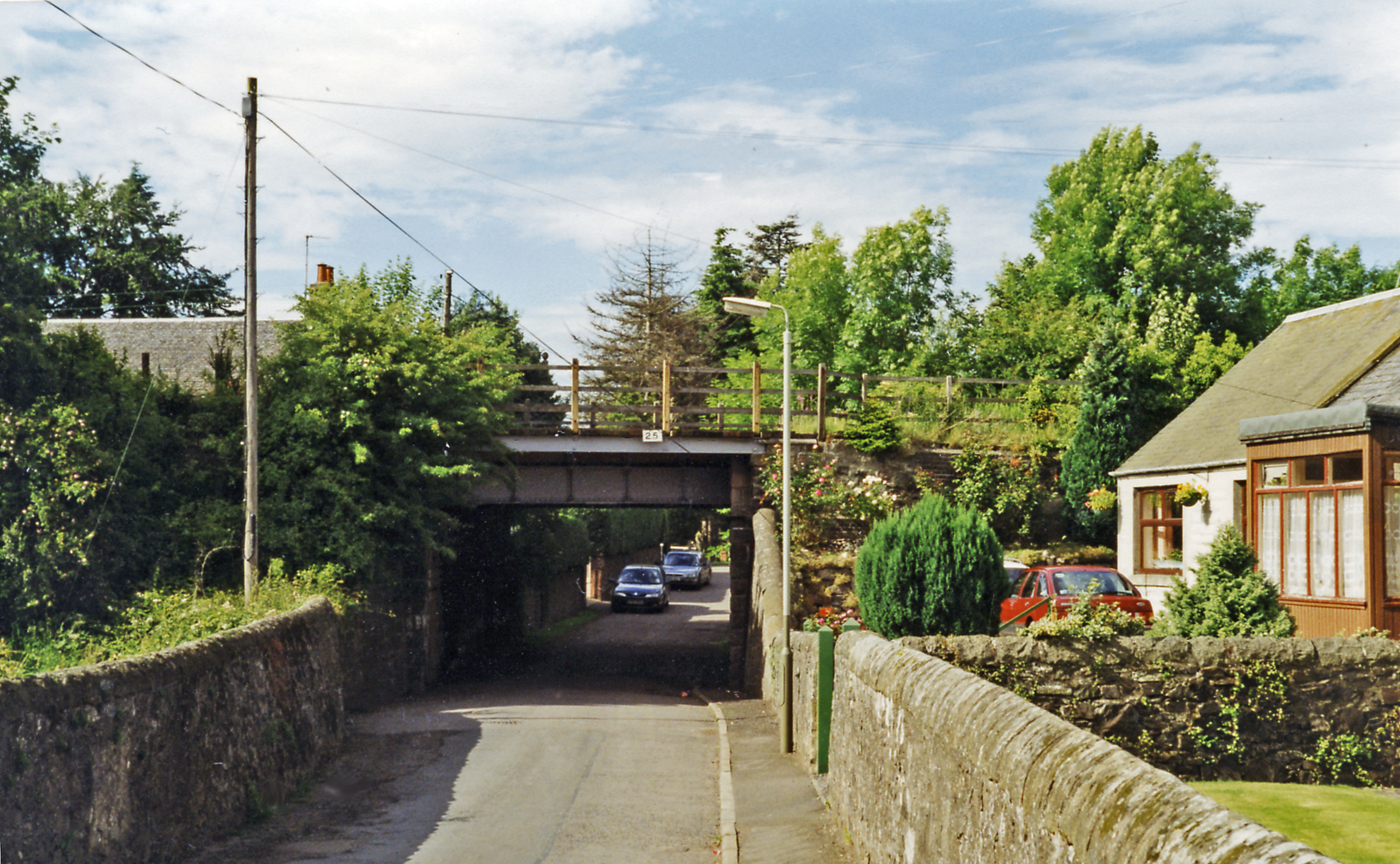
Aberargie is a small village located in Perthshire, Scotland. Situated approximately 5 miles south of Perth, the village is nestled in the picturesque countryside, surrounded by rolling hills and farmland. With a population of just over 200, Aberargie offers a tranquil and close-knit community that attracts both locals and visitors alike.
The village is known for its historical significance, with evidence of human settlement dating back to prehistoric times. The area is dotted with ancient sites, including standing stones and burial mounds, which provide a fascinating insight into the village's rich past.
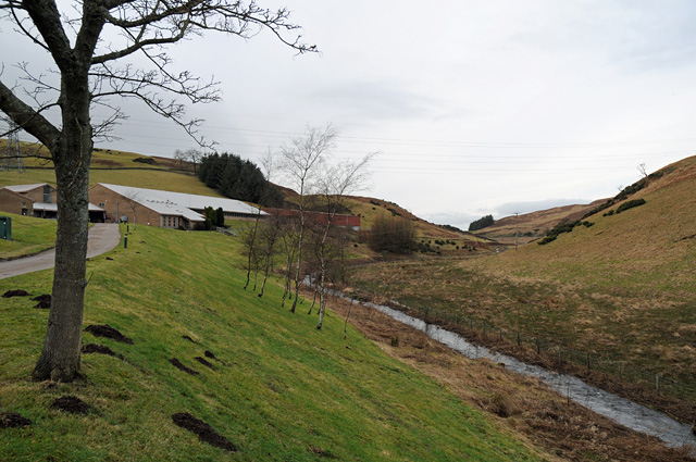
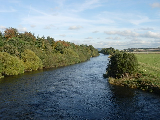
Aberargie's landscape is dominated by the presence of the River Earn, which flows through the village. This river not only adds to the natural beauty of the area but also provides opportunities for fishing and boating activities.
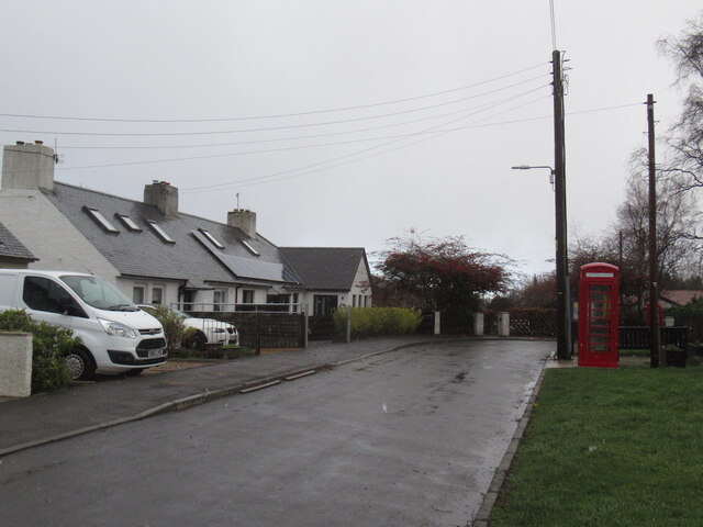
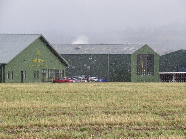
Despite its small size, Aberargie boasts a number of amenities for its residents. These include a primary school, a village hall, and a local pub, which serves as a social hub for the community. The village also benefits from its proximity to Perth, where residents can access a wider range of services, including shopping, healthcare, and leisure facilities.
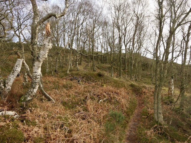
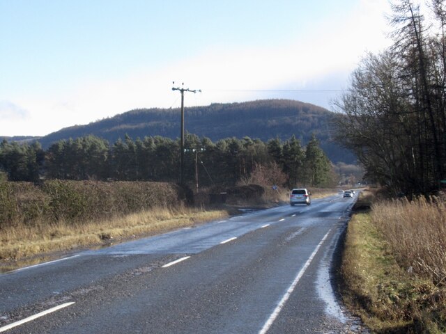
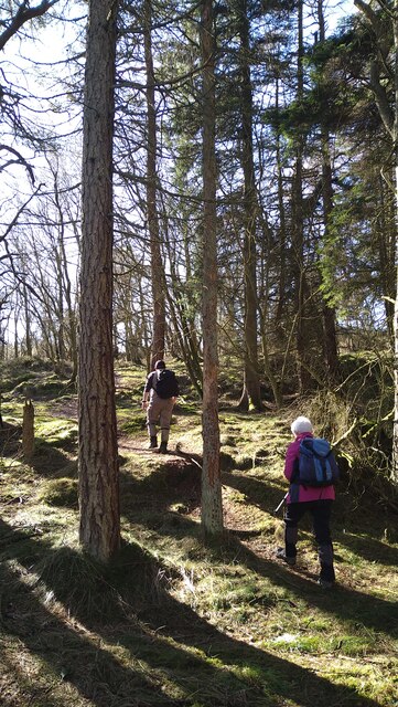
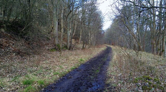
For outdoor enthusiasts, Aberargie offers ample opportunities for walking, cycling, and exploring the surrounding countryside. The village is also conveniently located for those wishing to explore further afield, with easy access to the major road networks connecting Perthshire to other parts of Scotland.
Overall, Aberargie is a charming village that combines a rich history with a peaceful and picturesque setting, making it an attractive place to live or visit.
If you have any feedback on the listing, please let us know in the comments section below.
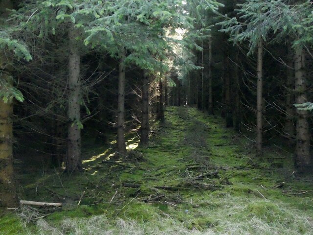
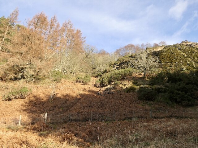
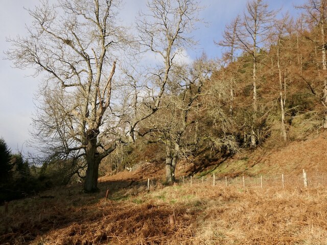
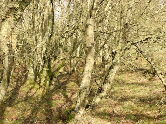
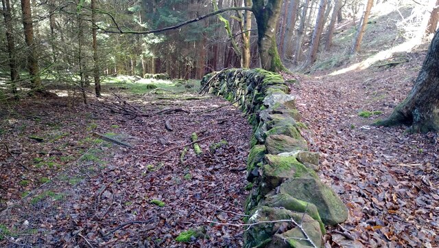
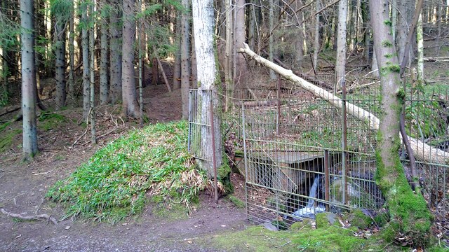
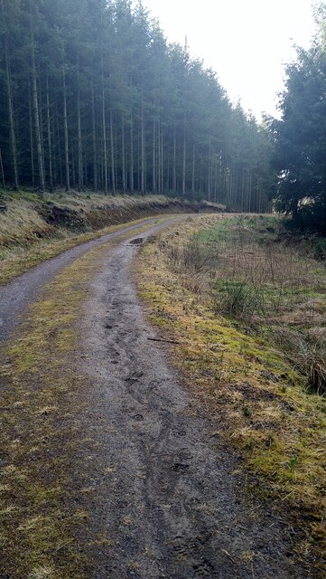
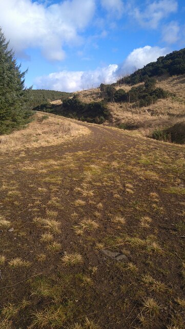
Aberargie Images
Images are sourced within 2km of 56.326951/-3.357547 or Grid Reference NO1615. Thanks to Geograph Open Source API. All images are credited.
Aberargie is located at Grid Ref: NO1615 (Lat: 56.326951, Lng: -3.357547)
Unitary Authority: Perth and Kinross
Police Authority: Tayside
What 3 Words
///peach.perky.tables. Near Abernethy, Perth & Kinross
Nearby Locations
Related Wikis

Aberargie
Aberargie (Scottish Gaelic: Obar Fhargaidh) is a village in the south eastern region of Perth and Kinross. It lies on the western edge of the old Abernethy...
River Farg
The River Farg is a small tributary of the River Earn, located in the lieutenancy area of Perth and Kinross, central Scotland. == Course == Its source...

Bein Inn
The Bein Inn (commonly known as the Famous Bein Inn) is an historic building in Glenfarg, Perth and Kinross, Scotland. A "noted hostelry," according to...

Abernethy Round Tower
The Abernethy Round Tower is a stone-built Irish-style round tower which stands in School Wynd, at the edge of the village cemetery, in Abernethy, Perth...
Abernethy, Perth and Kinross
Abernethy (Scottish Gaelic: Obar Neithich) is a village in Perth and Kinross, Scotland, situated 8 miles (13 km) south-east of Perth. == Etymology == Abernethy...
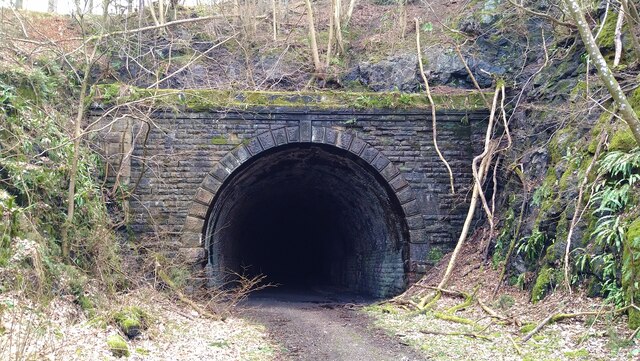
Abernethy railway station
Abernethy railway station served the village of Abernethy, in Scotland. == History == Initially Abernethy Road opened concurrently with the Edinburgh and...

Bridge of Earn Hospital
The Bridge of Earn Hospital was a health facility in Bridge of Earn, Perth and Kinross, Scotland. == History == The facility was designed as one of seven...
River Earn
The River Earn (Scottish Gaelic: Uisge Èireann) in Scotland leaves Loch Earn at St Fillans and runs east through Strathearn, then east and south, joining...
Nearby Amenities
Located within 500m of 56.326951,-3.357547Have you been to Aberargie?
Leave your review of Aberargie below (or comments, questions and feedback).