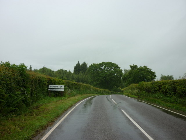
Burwarton

Settlement in Shropshire

England

Burwarton

Site of Burwarton Halt Compare with Ben Brooksbank's 1963 geograph <a href="https://www.geograph.org.uk/photo/1953883">SO6385 : Site of Burwarton Halt</a>.

View northward, towards Ditton Priors; ex-Great Western, Cleobury Mortimer & Ditton Priors Light Railway. The Halt was closed when the branch passenger service ceased from 26/9/38. Goods traffic ceased when the line was closed on 11/9/39, but in 6/41 the line was restored to serve the Naval Armaments Depot at Ditton Priors, being transferred to the Admiralty on 1/5/57 and closed entirely on 16/4/65.
Site of Burwarton Halt Credit: John M

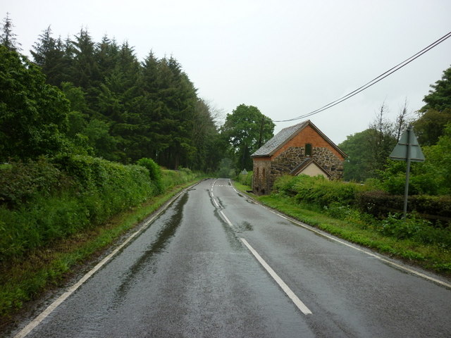
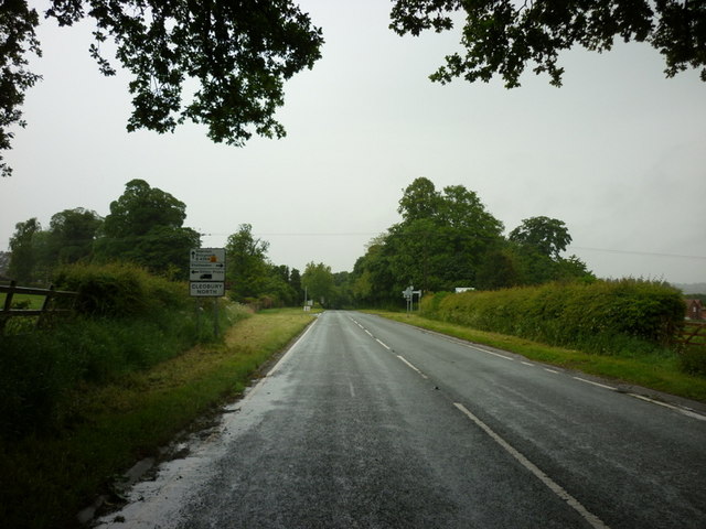
Burwarton is a small village located in the county of Shropshire, England. Situated approximately 5 miles south-west of Bridgnorth, Burwarton is nestled in the picturesque countryside of the region. The village is part of the civil parish of Cleobury North and falls within the administrative district of Shropshire Council.

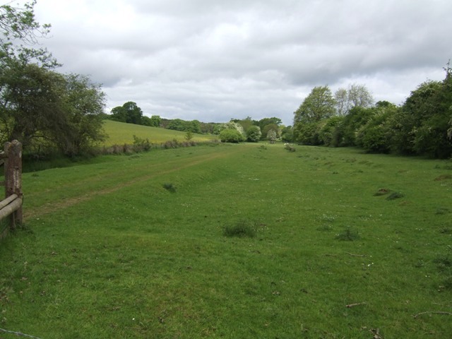
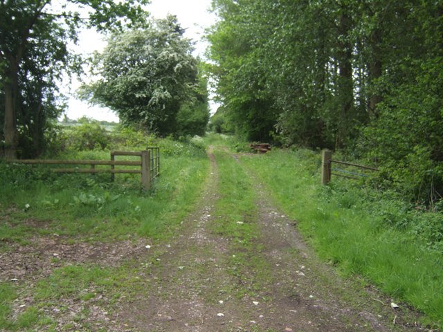
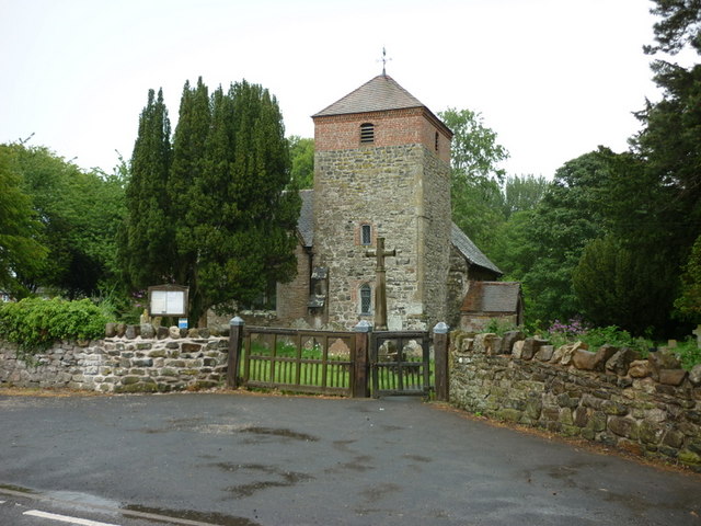
With a population of around 200 residents, Burwarton maintains a peaceful and rural atmosphere. The village is characterized by its quaint and charming architecture, with many traditional cottages and farmhouses dotting the landscape. The surrounding countryside offers stunning views and ample opportunities for outdoor activities such as hiking and cycling.

Burwarton is perhaps best known for the annual Burwarton Show, a traditional agricultural show that has been held in the village since 1891. The event attracts thousands of visitors each year and showcases a wide range of rural activities, including livestock competitions, equestrian displays, and local produce exhibitions.

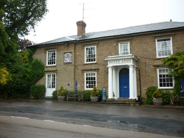
Despite its small size, Burwarton benefits from a close-knit community and a range of local amenities. These include a village hall, a primary school, and a local pub, providing a focal point for social gatherings and community events.

Overall, Burwarton offers a peaceful retreat from the hustle and bustle of urban life, with its idyllic countryside setting, strong sense of community, and traditional village charm.

If you have any feedback on the listing, please let us know in the comments section below.
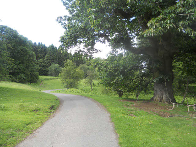
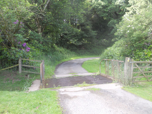
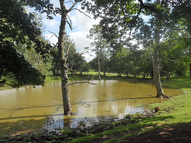
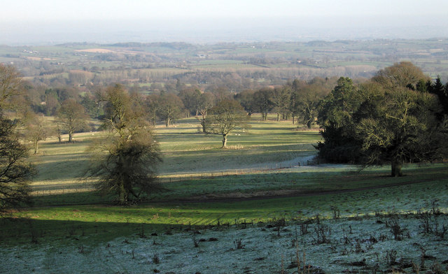
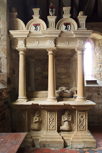
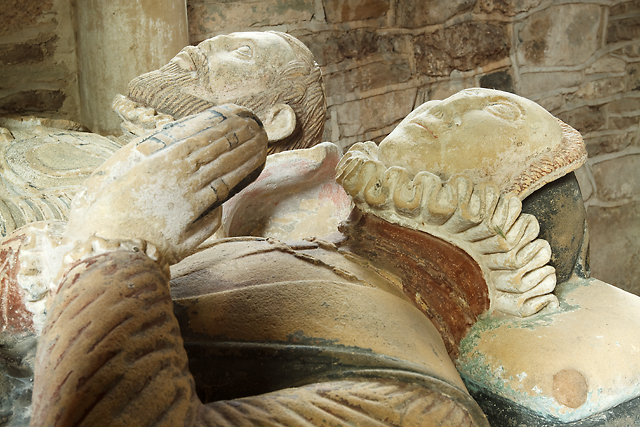
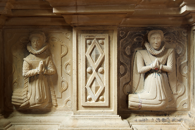
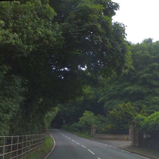
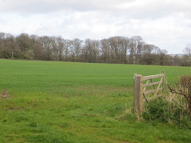
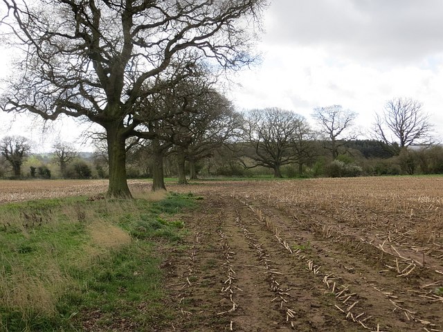
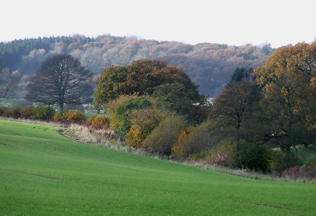
Burwarton Images

Images are sourced within 2km of 52.462629/-2.56253 or Grid Reference SO6185. Thanks to Geograph Open Source API. All images are credited.

Site of Burwarton Halt Compare with Ben Brooksbank's 1963 geograph <a href="https://www.geograph.org.uk/photo/1953883">SO6385 : Site of Burwarton Halt</a>.

View northward, towards Ditton Priors; ex-Great Western, Cleobury Mortimer & Ditton Priors Light Railway. The Halt was closed when the branch passenger service ceased from 26/9/38. Goods traffic ceased when the line was closed on 11/9/39, but in 6/41 the line was restored to serve the Naval Armaments Depot at Ditton Priors, being transferred to the Admiralty on 1/5/57 and closed entirely on 16/4/65.
Site of Burwarton Halt
Compare with Ben Brooksbank's 1963 geograph SO6385 : Site of Burwarton Halt. View northward, towards Ditton Priors; ex-Great Western, Cleobury Mortimer & Ditton Priors Light Railway. The Halt was closed when the branch passenger service ceased from 26/9/38. Goods traffic ceased when the line was closed on 11/9/39, but in 6/41 the line was restored to serve the Naval Armaments Depot at Ditton Priors, being transferred to the Admiralty on 1/5/57 and closed entirely on 16/4/65.
Former Admiralty railway from Ditton Priors View southward, towards Cleobury Mortimer; ex-Great Western, Cleobury Mortimer & Ditton Priors Light Railway. Passenger service ceased from 26/9/38. Goods traffic ceased when the line was closed on 11/9/39, but in 6/41 the line was restored to serve the Naval Armaments Depot at Ditton Priors, being transferred to the Admiralty on 1/5/57 and closed entirely on 16/4/65.

Thanks to Ben Brooksbank for description.
Former Admiralty railway from Ditton Priors
View southward, towards Cleobury Mortimer; ex-Great Western, Cleobury Mortimer & Ditton Priors Light Railway. Passenger service ceased from 26/9/38. Goods traffic ceased when the line was closed on 11/9/39, but in 6/41 the line was restored to serve the Naval Armaments Depot at Ditton Priors, being transferred to the Admiralty on 1/5/57 and closed entirely on 16/4/65. Thanks to Ben Brooksbank for description.
Boyne Arms, Burwarton
The B4364 at Burwarton
Entering Burwarton
Entering Burwarton
The B4364 near Hales Farm
Entering Cleobury North
St Peter and St Paul Church, Cleobury North
Road through Burwarton Park
Cattle grid in Burwarton Park
Pond beside a dismantled railway line
Part of Burwarton Park
St Michael's church, Aston Botterell - tomb-chest of John Botterell & wife The elaborate canopied tomb of John Botterell (†1588) and his wife Elizabeth, with their children's effigies in relief on the sides. The Botterells old manor house lies beside the church, and still has its C16 ceiling.
St Michael's church, Aston Botterell - tomb-chest of John Botterell & wife
The elaborate canopied tomb of John Botterell (†1588) and his wife Elizabeth, with their children's effigies in relief on the sides. The Botterells old manor house lies beside the church, and still has its C16 ceiling.
St Michael's church, Aston Botterell - tomb-chest of John Botterell & wife (detail 1)
St Michael's church, Aston Botterell - tomb-chest of John Botterell & wife (detail 2)
Woodland of Burwarton Park and an entrance  Walls and ornate railings on the right are an entrance to the park.   It is conveniently opposite the gateway to the village church
Woodland of Burwarton Park and an entrance
Walls and ornate railings on the right are an entrance to the park. It is conveniently opposite the gateway to the village church
A field near Burwarton The hedge suggests that this has been arable land for a while.
A field near Burwarton
The hedge suggests that this has been arable land for a while.
A line of trees, Burwarton The trees remain from the line of a former hedge.
A line of trees, Burwarton
The trees remain from the line of a former hedge.
Show me another place!

Burwarton is located at Grid Ref: SO6185 (Lat: 52.462629, Lng: -2.56253)

Unitary Authority: Shropshire

Police Authority: West Mercia

What 3 Words

///creatures.blink.epidemics. Near Cleobury Mortimer, Shropshire

Related Wikis

Burwarton

Burwarton is a small village and civil parish in Shropshire, England. Local governance is provided through the 'grouped' Parish Council for Aston Botterill...

Burwarton Halt railway station

Burwarton Halt railway station was a station in Burwarton, Shropshire, England. The station was opened in 1908 and closed in 1938. == References == �...

Aston Botterell

Aston Botterell is a village and small civil parish in the county of Shropshire, West Midlands, England. The village lies 8 miles (13 km) south-west of...

Cleobury North

Cleobury North is a civil parish and small village in south east Shropshire, England. It is situated on the B4364 southwest of the market town of Bridgnorth...

Aston Botterell Siding railway station

Aston Botterell Siding railway station was a station in Aston Botterell, Shropshire, England. The station was opened in 1908 and closed in 1938. ��2�...

Loughton, Shropshire

Loughton is a village and former civil parish, now in the parish of Wheathill, in Shropshire, England. In 1961 the parish had a population of 48.It is...

Cleobury North Crossing railway station

Cleobury North Crossing railway station was a station in Cleobury North, Shropshire, England. The station was opened in 1908 and closed in 1938. ��2�...

Brown Clee Hill

Brown Clee Hill is the highest hill in the rural English county of Shropshire, at 540 metres (1,770 ft) above sea level. It is one of the Clee Hills,...

Nearby Amenities

Located within 500m of 52.462629,-2.56253
Burwarton
Created By: POI Editor
Place: village
Source: npe
Lat/Long: 52.462612/-2.5617469
Pub
Boyne Arms
Addr City: Burwarton
Addr Country: GB
Addr Postcode: WV16 6QH
Fhrs Authority: Shropshire
Fhrs Id: 1109448
Fhrs Local Authority Id: 18/00539/COMM
Source: GPS Survey
Wikidata: Q26649015
Lat/Long: 52.462597/-2.5640787
Post Box
Post Box Type: lamp
Postal Code: WV16
Ref: WV16 98
Source: GPS Survey
Lat/Long: 52.4629821/-2.5622219
Bus Stop
Bus: yes
Public Transport: platform
Source: GPS Survey
Lat/Long: 52.4628988/-2.5622893
Barrier: stile
Lat/Long: 52.4611972/-2.5641013
Barrier: stile
Lat/Long: 52.4610151/-2.5628264
Telephone
Defibrillator
Booth: K6
Covered: booth
Defibrillator Location: inside red phone box, Burwarton
Emergency: defibrillator
Man Made: telephone_box
Lat/Long: 52.4638331/-2.562095
Ford: yes
Lat/Long: 52.4609201/-2.5623411
Ford: yes
Lat/Long: 52.4609231/-2.5623146
The data included in this document is from www.openstreetmap.org. The data is made available under ODbL.

Have you been to Burwarton?

Leave your review of Burwarton below (or comments, questions and feedback).