Holly Coppice
Wood, Forest in Shropshire
England
Holly Coppice
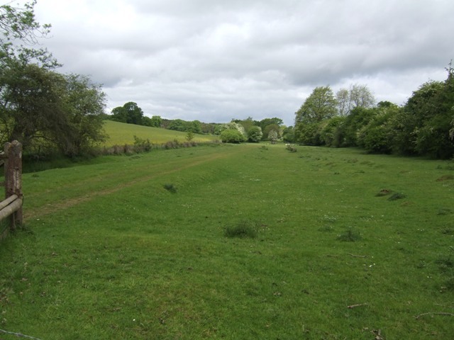
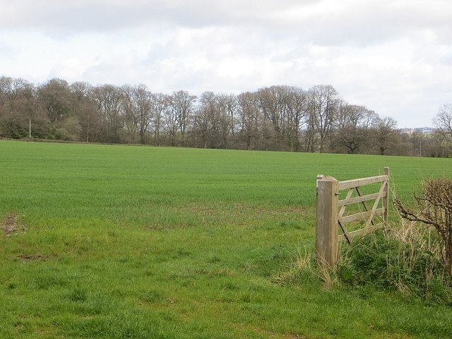
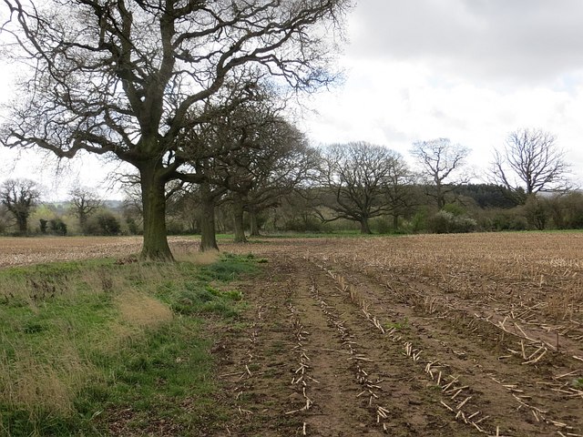
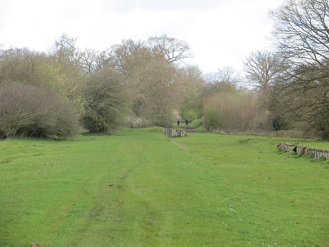
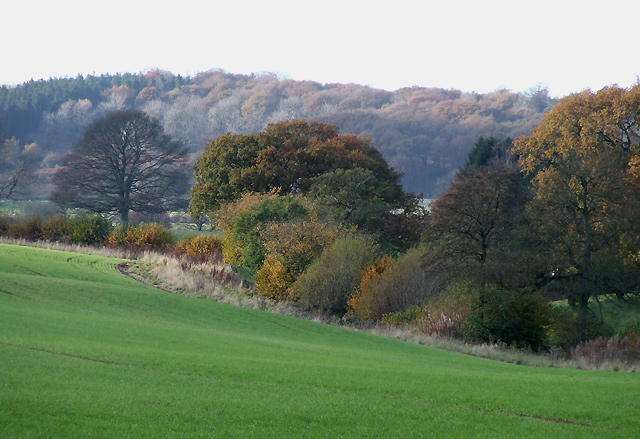
Holly Coppice is a charming woodland located in the county of Shropshire, England. Situated near the village of Coppice, the forest covers an area of approximately 50 acres, providing a haven for nature enthusiasts and outdoor adventurers alike.
The woodland is predominantly made up of holly trees, hence its name, creating a breathtaking sight during the winter months when their vibrant green leaves contrast with the white snow. However, the forest is not solely comprised of holly trees; it also boasts an assortment of other native tree species, including oak, birch, and ash, contributing to the diversity and beauty of the landscape.
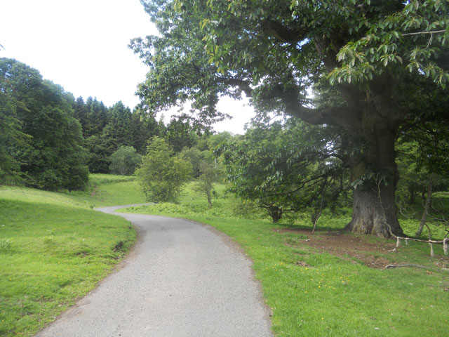
Holly Coppice is known for its well-maintained trails that wind through the forest, offering visitors a chance to explore and immerse themselves in the natural surroundings. The paths vary in difficulty, catering to both casual strollers and experienced hikers. Along the way, walkers can spot a variety of wildlife, such as squirrels, rabbits, and various bird species, making it a popular destination for birdwatchers.
The forest is also home to a small stream that meanders through its heart, adding to the tranquility and serenity of the environment. The sound of running water provides a soothing backdrop to the peaceful atmosphere, making it an ideal spot for picnics or simply unwinding amidst nature.
Holly Coppice is a true gem in Shropshire, offering a delightful escape from the hustle and bustle of everyday life. With its stunning holly trees, diverse wildlife, and well-maintained trails, it provides an enchanting experience for all who visit.
If you have any feedback on the listing, please let us know in the comments section below.
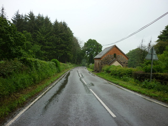
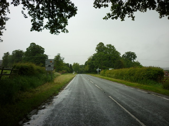
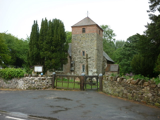
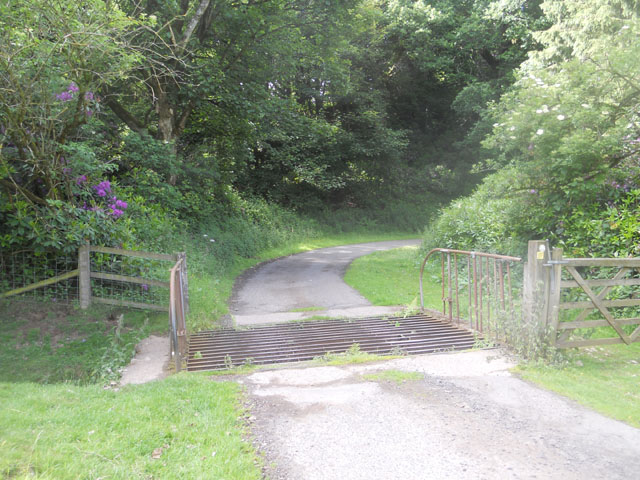
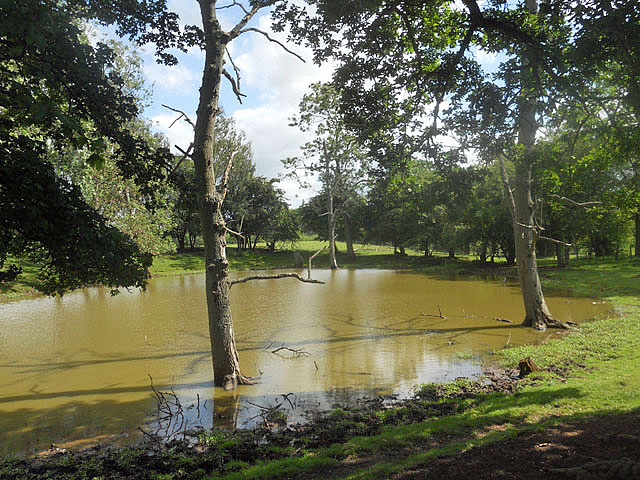
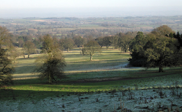
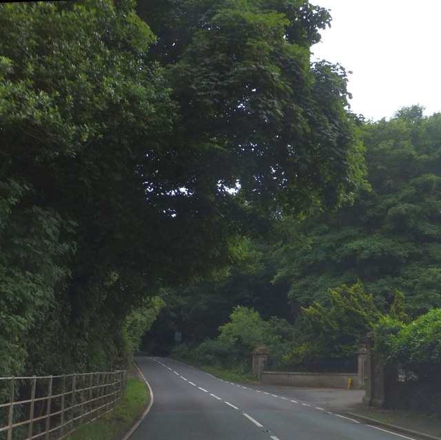
Holly Coppice Images
Images are sourced within 2km of 52.467466/-2.5720776 or Grid Reference SO6185. Thanks to Geograph Open Source API. All images are credited.


Holly Coppice is located at Grid Ref: SO6185 (Lat: 52.467466, Lng: -2.5720776)
Unitary Authority: Shropshire
Police Authority: West Mercia
What 3 Words
///campus.gearbox.aviation. Near Cleobury Mortimer, Shropshire
Nearby Locations
Related Wikis

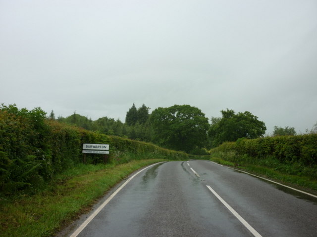
Burwarton
Burwarton is a small village and civil parish in Shropshire, England. Local governance is provided through the 'grouped' Parish Council for Aston Botterill...

Cleobury North
Cleobury North is a civil parish and small village in south east Shropshire, England. It is situated on the B4364 southwest of the market town of Bridgnorth...

Cleobury North Crossing railway station
Cleobury North Crossing railway station was a station in Cleobury North, Shropshire, England. The station was opened in 1908 and closed in 1938. ��2�...

Burwarton Halt railway station
Burwarton Halt railway station was a station in Burwarton, Shropshire, England. The station was opened in 1908 and closed in 1938. == References == �...

Brown Clee Hill
Brown Clee Hill is the highest hill in the rural English county of Shropshire, at 540 metres (1,770 ft) above sea level. It is one of the Clee Hills,...

Aston Botterell
Aston Botterell is a village and small civil parish in the county of Shropshire, West Midlands, England. The village lies 8 miles (13 km) south-west of...
Loughton, Shropshire
Loughton is a village and former civil parish, now in the parish of Wheathill, in Shropshire, England. In 1961 the parish had a population of 48.It is...
Aston Botterell Siding railway station
Aston Botterell Siding railway station was a station in Aston Botterell, Shropshire, England. The station was opened in 1908 and closed in 1938. ��2�...
Nearby Amenities
Located within 500m of 52.467466,-2.5720776Have you been to Holly Coppice?
Leave your review of Holly Coppice below (or comments, questions and feedback).