Coed Nant-y-wrach-fawr

Wood, Forest in Caernarfonshire

Wales

Coed Nant-y-wrach-fawr

View of Snowdonia As seen from B5113 road.
View of Snowdonia Credit: Richard Hoare

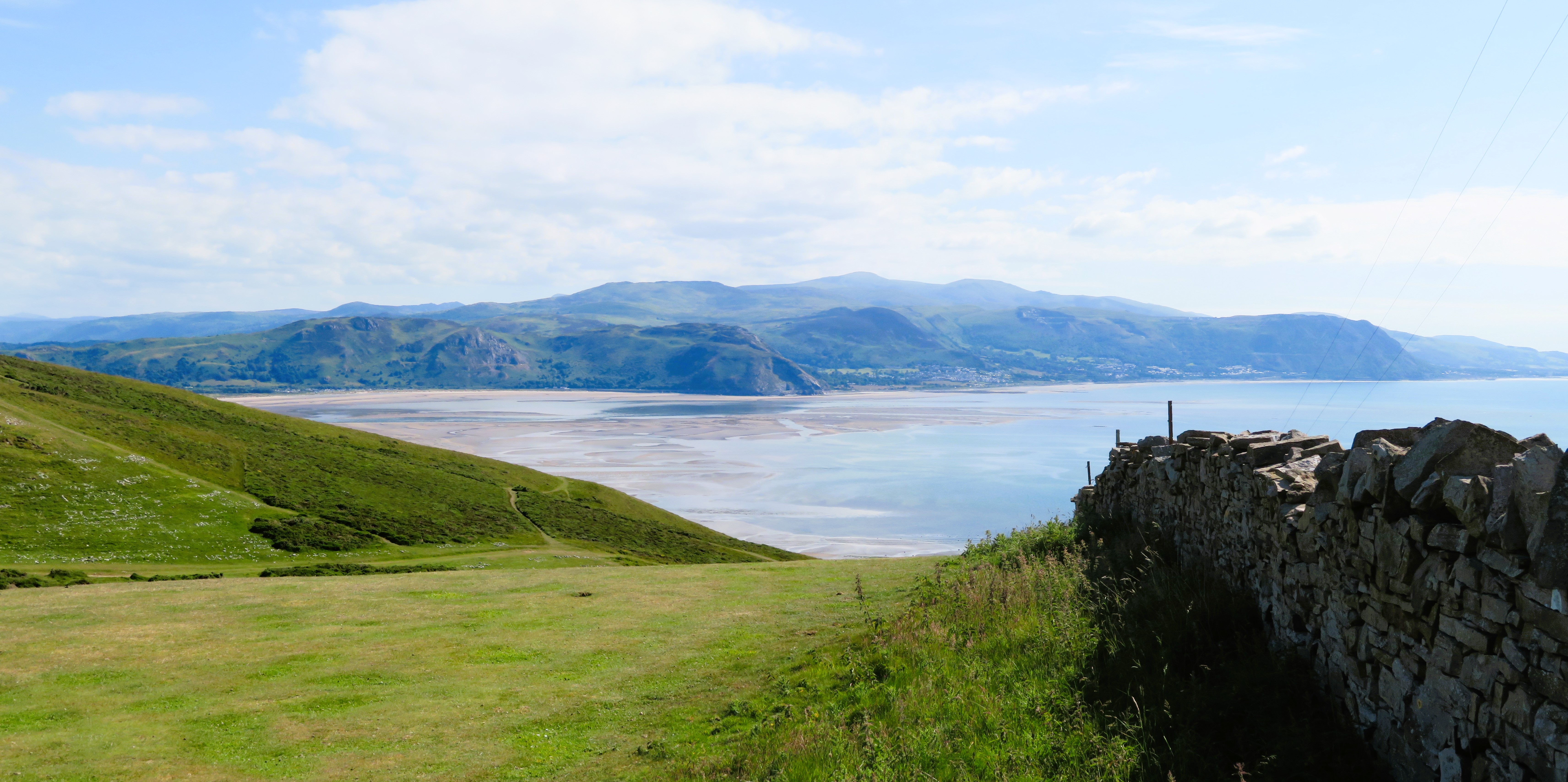
Coed Nant-y-wrach-fawr, located in Caernarfonshire, Wales, is a picturesque woodland area known for its natural beauty and rich history. Spanning approximately 200 acres, this ancient forest is nestled in the heart of Snowdonia National Park, offering visitors a tranquil escape from the hustle and bustle of daily life.

The name Coed Nant-y-wrach-fawr translates to "Wood of the Great Witch's Brook," reflecting the area's mythical past. Legend has it that a powerful witch once inhabited these woods, adding a touch of enchantment to the already magical surroundings. Today, visitors can explore the forest's winding trails and discover hidden waterfalls, moss-covered rocks, and a variety of native flora and fauna.

The woodland is predominantly composed of native broadleaf trees, including oak, beech, and birch. These trees provide a lush canopy that filters sunlight, creating a cool and serene atmosphere. The forest floor is carpeted with ferns, wildflowers, and mosses, creating a vibrant tapestry of colors.

Coed Nant-y-wrach-fawr is not only a haven for nature enthusiasts but also a paradise for birdwatchers. The forest is home to various bird species, including redstarts, pied flycatchers, and wood warblers. Additionally, the area is known to support a diverse range of wildlife, such as badgers, foxes, and even the elusive pine marten.

Visitors can explore the woodland through a network of well-maintained footpaths and trails. The forest also offers picnic areas and viewpoints, allowing visitors to soak in the breathtaking scenery. With its tranquil ambiance and natural beauty, Coed Nant-y-wrach-fawr is a must-visit destination for those seeking a peaceful retreat in the heart of Caernarfonshire.

If you have any feedback on the listing, please let us know in the comments section below.

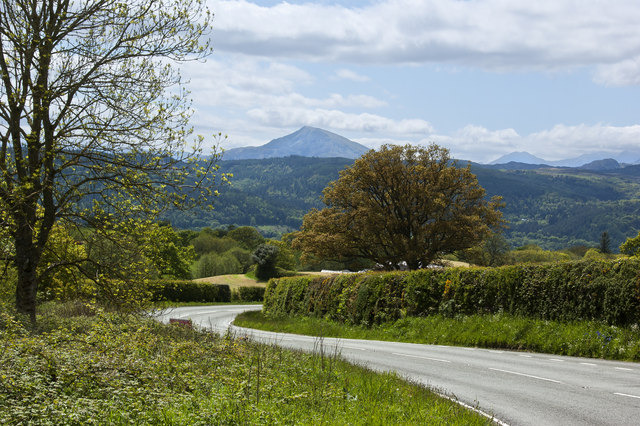
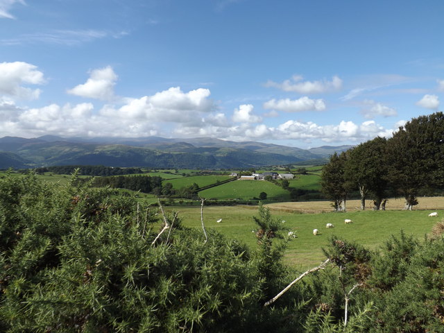
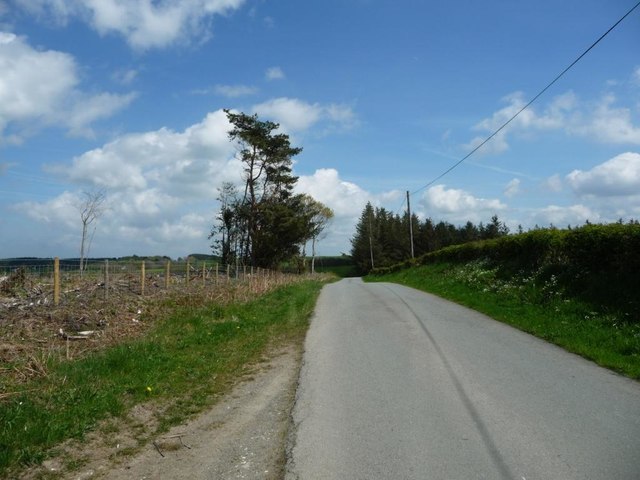
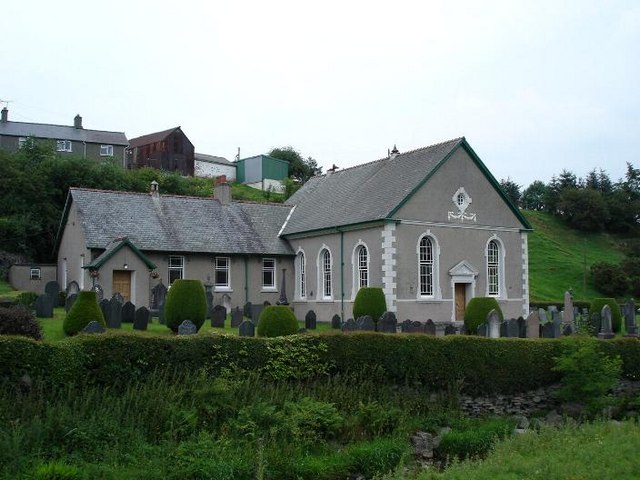
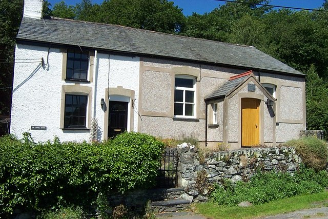
Coed Nant-y-wrach-fawr Images

Images are sourced within 2km of 53.166072/-3.7398264 or Grid Reference SH8364. Thanks to Geograph Open Source API. All images are credited.

View of Snowdonia As seen from B5113 road.
View of Snowdonia
As seen from B5113 road.
Grassland beside B5113
Field near Grug Dolau Field above a small wooded valley near Grug Dolau.
Field near Grug Dolau
Field above a small wooded valley near Grug Dolau.
Upland grazing near Wenlli View across upland grazing with the wooded Wenlli in the middle distance.
Upland grazing near Wenlli
View across upland grazing with the wooded Wenlli in the middle distance.
Sheep in a field near Long Covert Sheep in a field near Long Covert to the north of and across the valley from Pandt Tudur.
Sheep in a field near Long Covert
Sheep in a field near Long Covert to the north of and across the valley from Pandt Tudur.
A548 with a view of Carned Moel Siabod
Bryn Betws and beyond
Sheep grazing By the B5133.
Sheep grazing
By the B5133.
Farmland off the B5133 Looking towards the former Toll House on the A548 with which the B5133 multiplexes for a short distance.
Farmland off the B5133
Looking towards the former Toll House on the A548 with which the B5133 multiplexes for a short distance.
Bryn Betws Farmland to the west of the B5113.
Bryn Betws
Farmland to the west of the B5113.
View towards the Conwy Estuary From the B5133 to the east of Llanrwst. The Great Orme is visible on the right.
View towards the Conwy Estuary
From the B5133 to the east of Llanrwst. The Great Orme is visible on the right.
View of Snowdonia Snowdonian hills viewed from the B5133 east of Llanddoged.
View of Snowdonia
Snowdonian hills viewed from the B5133 east of Llanddoged.
View of Moel Siabod A view of Moel Siabod in <a href="https://www.geograph.org.uk/gridref/SH7054">SH7054</a> from the B5113 near Llanddoged.
View of Moel Siabod
A view of Moel Siabod in SH7054 from the B5113 near Llanddoged.
Old Milestone Old milestone on the A.548 near to Pandy Tudur, Conwy. For overall view see <a title="https://www.geograph.org.uk/photo/5183802" href="https://www.geograph.org.uk/photo/5183802">Link</a>
Old Milestone
Old milestone on the A.548 near to Pandy Tudur, Conwy. For overall view see Link
Llanrwst 4 Old milestone on the A.548 near to Pandy Tudur, Conwy. For close upview see <a title="https://www.geograph.org.uk/photo/5183799" href="https://www.geograph.org.uk/photo/5183799">Link</a>
Llanrwst 4
Old milestone on the A.548 near to Pandy Tudur, Conwy. For close upview see Link
The road to Wenlli Looking east at a 288 metre spot height. A civil parish boundary runs down the middle of the road.
The road to Wenlli
Looking east at a 288 metre spot height. A civil parish boundary runs down the middle of the road.
Green Nursery has been felled Former coniferous woodland on the north side of the road to Wenlli.
Green Nursery has been felled
Former coniferous woodland on the north side of the road to Wenlli.
Junction of the B5113 and the road from Wenlli Looking west, towards Snowdonia.
Junction of the B5113 and the road from Wenlli
Looking west, towards Snowdonia.
Show me another place!

Coed Nant-y-wrach-fawr is located at Grid Ref: SH8364 (Lat: 53.166072, Lng: -3.7398264)

Unitary Authority: Conwy

Police Authority: North Wales

What 3 Words

///napped.corrupted.originals. Near Llanrwst, Conwy

Related Wikis

Pandy Tudur

Pandy Tudur is a village in Conwy county borough, in the north-west of Wales. It lies 5 miles northeast of Llanrwst. == Origins of the name == The name...

Llanddoged

Llanddoged is a small village which lies in the hills a little over a mile to the north of Llanrwst, in Conwy county borough, Wales. The village itself...

Conwy County Borough

Conwy County Borough (Welsh: Bwrdeistref Sirol Conwy) is a county borough in the north of Wales. It borders Gwynedd to the west and south and Denbighshire...

Llanddoged and Maenan

Llanddoged and Maenan (Welsh: Llanddoged a Maenan) is a community in Conwy County Borough, in Wales. It is located in the Conwy Valley, on the eastern...

Nearby Amenities

Located within 500m of 53.166072,-3.7398264
Place: farm
Lat/Long: 53.163248/-3.7432039
Place: farm
Lat/Long: 53.1685608/-3.736595
Place: farm
Lat/Long: 53.1672616/-3.7382043
Direction: 145
Generator Method: photovoltaic
Generator Output Electricity: yes
Generator Solar Modules: 16
Generator Source: solar
Generator Type: solar_photovoltaic_panel
Location: roof
Power: generator
Lat/Long: 53.1633633/-3.7431461
The data included in this document is from www.openstreetmap.org. The data is made available under ODbL.

Have you been to Coed Nant-y-wrach-fawr?

Leave your review of Coed Nant-y-wrach-fawr below (or comments, questions and feedback).