Cefn-coch Covert
Wood, Forest in Caernarfonshire
Wales
Cefn-coch Covert

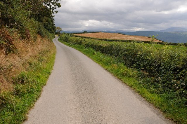
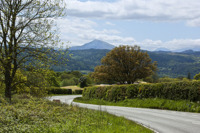
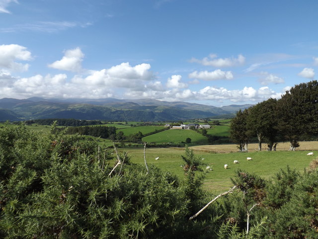
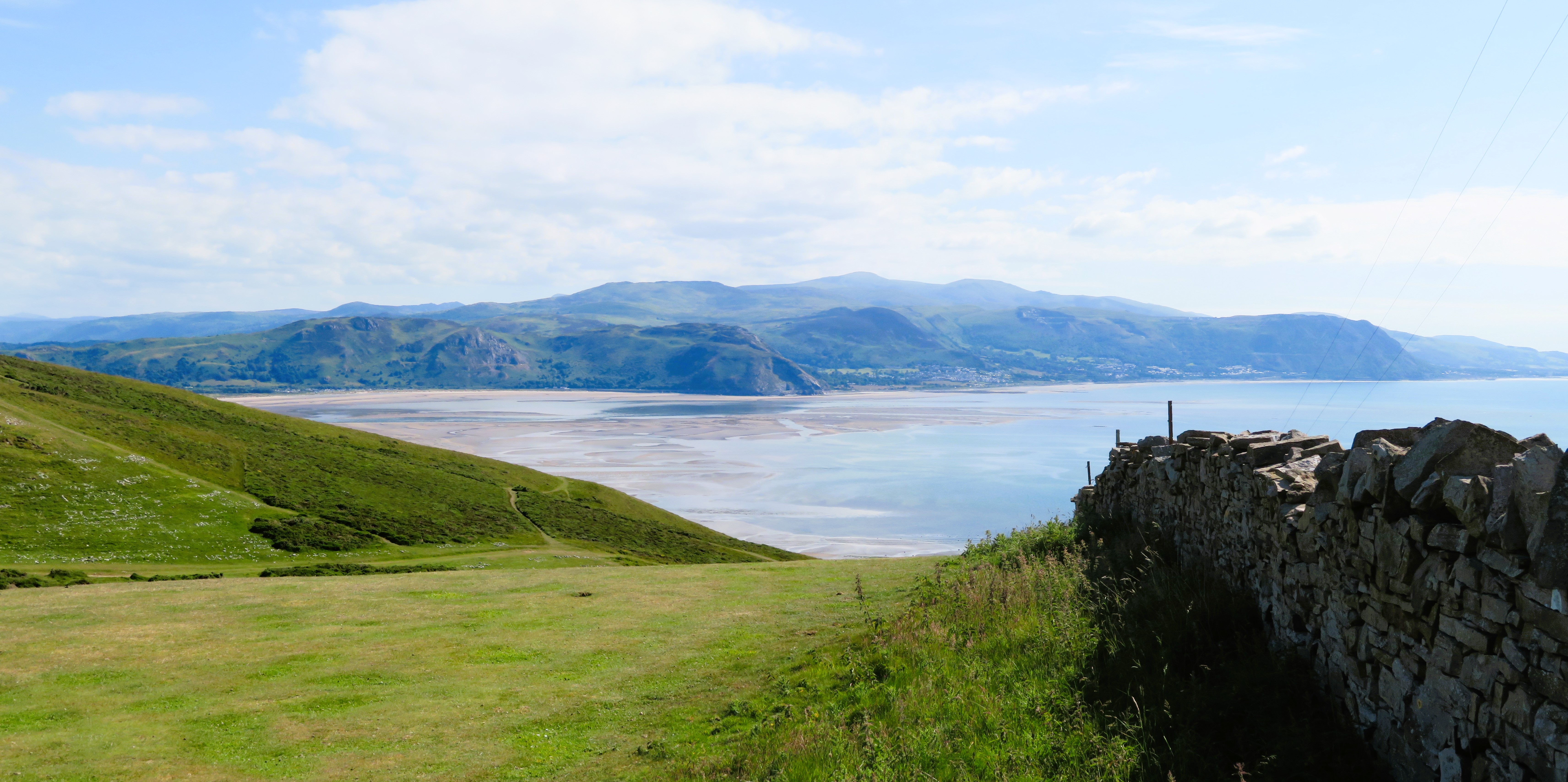
Cefn-coch Covert is a beautiful wood located in Caernarfonshire, Wales. Nestled in the picturesque landscape of Snowdonia National Park, this forest is a haven of natural beauty and tranquility. Stretching over an area of approximately 100 acres, Cefn-coch Covert is home to a diverse range of flora and fauna.
The wood boasts a rich variety of tree species, including oak, beech, ash, and birch. These majestic trees create a dense canopy, providing shelter and habitat for numerous woodland creatures. The forest floor is adorned with a carpet of bluebells, wild garlic, and ferns, creating a magical and enchanting atmosphere.
Cefn-coch Covert also offers a multitude of recreational opportunities for visitors. There are well-maintained walking trails that wind through the forest, allowing visitors to immerse themselves in the natural surroundings. The trails are suitable for all abilities and offer wonderful views of the surrounding mountains and valleys.
Birdwatchers will find Cefn-coch Covert to be a paradise, as the forest is home to a variety of bird species. From the melodious song of the blackbird to the elusive call of the tawny owl, birdwatchers can spend hours observing and identifying the feathered inhabitants of the wood.
The wood is also an important conservation site, with efforts being made to protect and preserve the diverse ecosystem. The management of Cefn-coch Covert focuses on sustainable forestry practices and maintaining the delicate balance of the woodland environment.
Overall, Cefn-coch Covert is a stunning woodland retreat that offers visitors a chance to escape the hustle and bustle of everyday life and connect with nature.
If you have any feedback on the listing, please let us know in the comments section below.
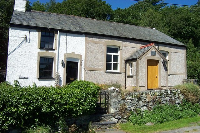
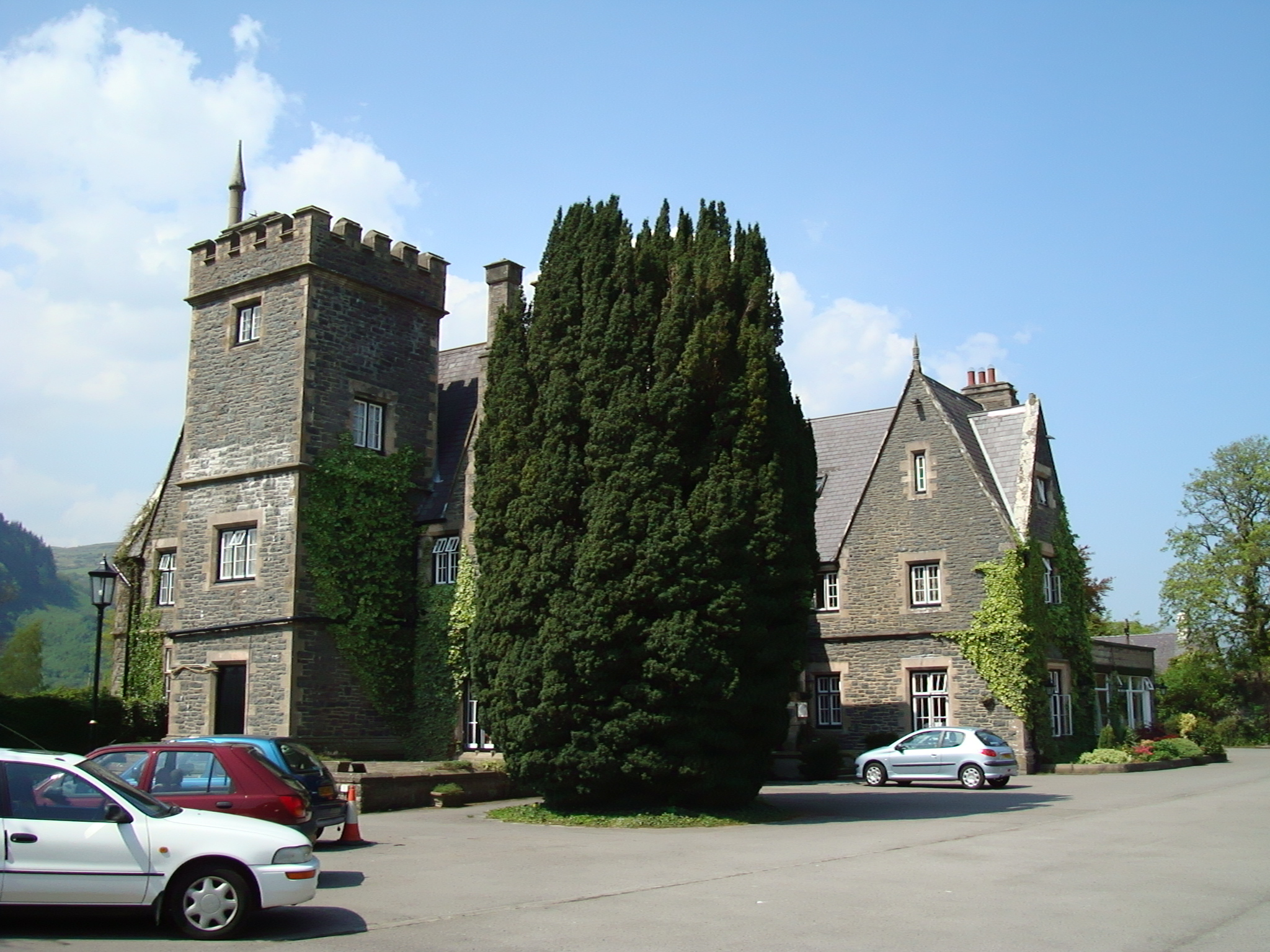
Cefn-coch Covert Images
Images are sourced within 2km of 53.167305/-3.743377 or Grid Reference SH8364. Thanks to Geograph Open Source API. All images are credited.


Cefn-coch Covert is located at Grid Ref: SH8364 (Lat: 53.167305, Lng: -3.743377)
Unitary Authority: Conwy
Police Authority: North Wales
What 3 Words
///resolved.protects.reporters. Near Llanrwst, Conwy
Nearby Locations
Related Wikis
Pandy Tudur
Pandy Tudur is a village in Conwy county borough, in the north-west of Wales. It lies 5 miles northeast of Llanrwst. == Origins of the name == The name...

Llanddoged
Llanddoged is a small village which lies in the hills a little over a mile to the north of Llanrwst, in Conwy county borough, Wales. The village itself...
Llanddoged and Maenan
Llanddoged and Maenan (Welsh: Llanddoged a Maenan) is a community in Conwy County Borough, in Wales. It is located in the Conwy Valley, on the eastern...
Conwy County Borough
Conwy County Borough (Welsh: Bwrdeistref Sirol Conwy) is a county borough in the north of Wales. It borders Gwynedd to the west and south and Denbighshire...

Moel Maelogan
Moel Maelogan (shown on O.S. maps as 'Maelogen', and also sometimes spelled 'Moelogan' and 'Mælogan') is a hill (summit height 424m) on the western edge...

Maenan Hall
Maenan Hall is a Grade I-listed hall house north west of the village of Llanddoged, Conwy, Wales. This late medieval country mansion has fine decorative...
Maenan
Maenan is a rural settlement in Conwy, Wales, located approximately 4 miles to the north of Llanrwst and 3 miles to the south of the village of Eglwysbach...
Ysgol Dyffryn Conwy
Ysgol Dyffryn Conwy is a bilingual co-educational comprehensive school in the town of Llanrwst in Conwy County Borough, North Wales. The school serves...
Nearby Amenities
Located within 500m of 53.167305,-3.743377Have you been to Cefn-coch Covert?
Leave your review of Cefn-coch Covert below (or comments, questions and feedback).