Chwythlyn Water
Lake, Pool, Pond, Freshwater Marsh in Caernarfonshire
Wales
Chwythlyn Water

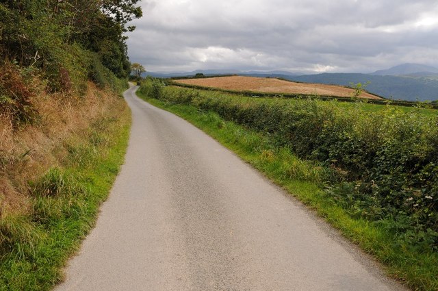
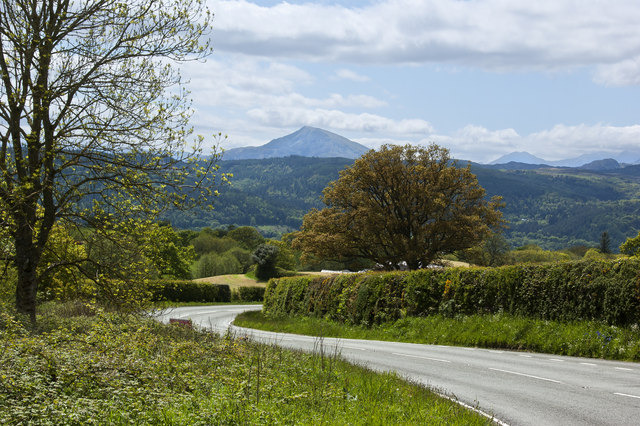
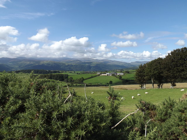
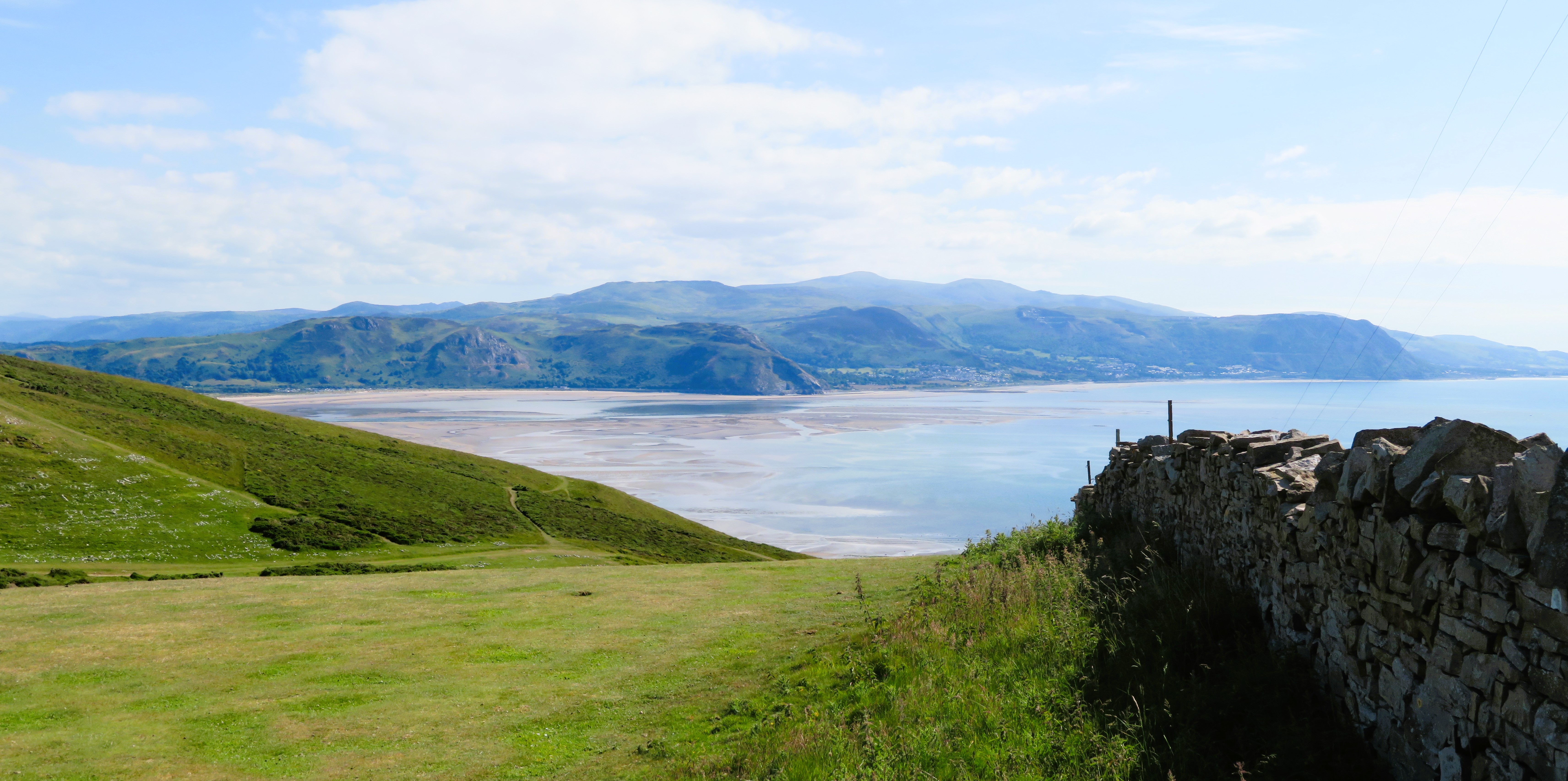
Chwythlyn Water is a picturesque freshwater lake located in the county of Caernarfonshire, Wales. Situated within the Snowdonia National Park, it is nestled amidst the stunning natural landscapes of the region. The lake covers an area of approximately 25 acres and is surrounded by lush greenery and rolling hills, creating a serene and tranquil ambiance.
The crystal-clear waters of Chwythlyn Water are fed by numerous small streams and springs that flow down from the nearby mountains. This ensures a constant supply of fresh water, making it an ideal habitat for a diverse range of aquatic plants and wildlife. The lake is renowned for its rich biodiversity, with several species of fish, birds, and insects calling it home.
Surrounding the lake, there is a beautiful freshwater marsh that further enhances the natural beauty of the area. This marshland is characterized by its abundance of reeds, rushes, and other water-loving plants. It serves as an important habitat for various bird species, including herons and ducks, which can often be spotted wading in the shallow waters or nesting in the surrounding vegetation.
Chwythlyn Water is a popular destination for nature enthusiasts, offering opportunities for birdwatching, fishing, and leisurely walks along its shores. The peaceful ambiance and stunning views make it an ideal spot for picnics and relaxation. Visitors can also explore the nearby hiking trails that lead to the surrounding hills and mountains, providing breathtaking panoramic views of the lake and its surroundings.
Overall, Chwythlyn Water is a truly enchanting destination, offering a harmonious blend of natural beauty and wildlife, making it a must-visit location for anyone seeking a peaceful retreat in the heart of the Welsh countryside.
If you have any feedback on the listing, please let us know in the comments section below.
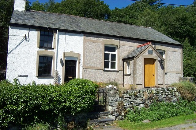
Chwythlyn Water Images
Images are sourced within 2km of 53.167653/-3.7429423 or Grid Reference SH8364. Thanks to Geograph Open Source API. All images are credited.


Chwythlyn Water is located at Grid Ref: SH8364 (Lat: 53.167653, Lng: -3.7429423)
Unitary Authority: Conwy
Police Authority: North Wales
What 3 Words
///brilliant.rewarded.gives. Near Llanrwst, Conwy
Nearby Locations
Related Wikis
Pandy Tudur
Pandy Tudur is a village in Conwy county borough, in the north-west of Wales. It lies 5 miles northeast of Llanrwst. == Origins of the name == The name...

Llanddoged
Llanddoged is a small village which lies in the hills a little over a mile to the north of Llanrwst, in Conwy county borough, Wales. The village itself...
Llanddoged and Maenan
Llanddoged and Maenan (Welsh: Llanddoged a Maenan) is a community in Conwy County Borough, in Wales. It is located in the Conwy Valley, on the eastern...
Conwy County Borough
Conwy County Borough (Welsh: Bwrdeistref Sirol Conwy) is a county borough in the north of Wales. It borders Gwynedd to the west and south and Denbighshire...
Nearby Amenities
Located within 500m of 53.167653,-3.7429423Have you been to Chwythlyn Water?
Leave your review of Chwythlyn Water below (or comments, questions and feedback).