Burton

Settlement in Wiltshire

England

Burton

M4 heading east, with power lines turning a corner south of the motorway
M4 heading east, with power lines turning a corner south of the motorway Credit: Rob Purvis

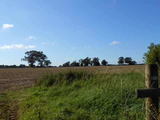
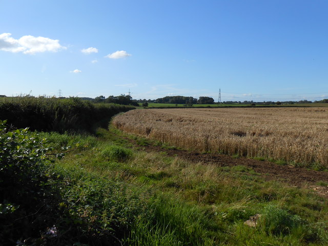
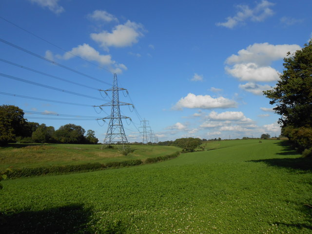
Burton is a small village located in the county of Wiltshire, England. Situated approximately 2 miles southwest of the town of Malmesbury, it falls under the jurisdiction of the North Wiltshire district. The village is nestled amidst picturesque countryside and is surrounded by rolling hills and farmland.

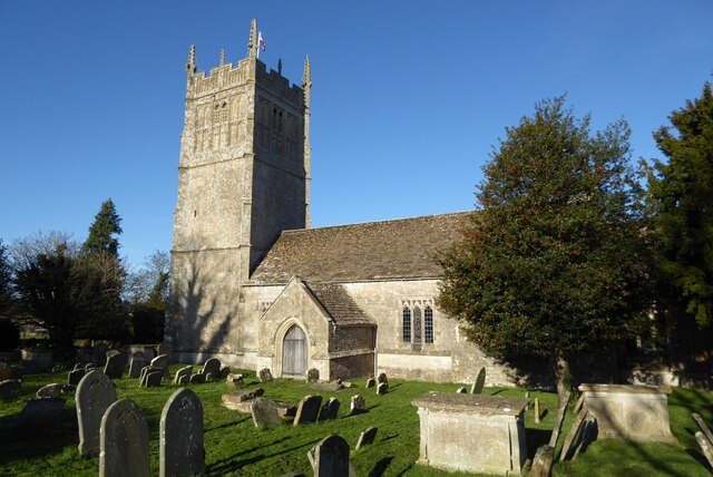
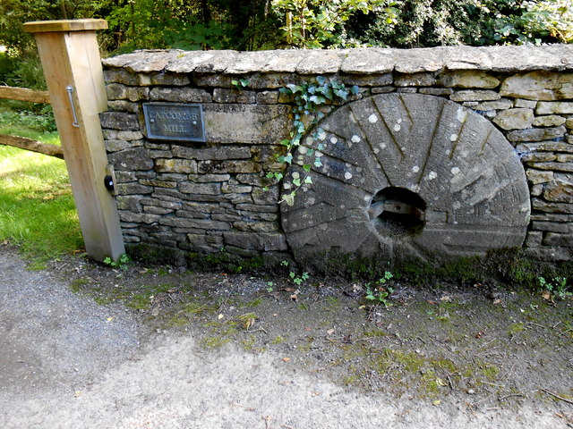
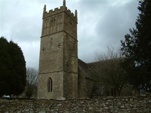
Burton has a long history that can be traced back to the Domesday Book of 1086. It was once a thriving market town, with evidence of its medieval past still visible in the form of historic buildings and architecture. The village church, St. Mary's, stands as a prominent landmark and dates back to the 12th century, featuring impressive stained glass windows and a distinctive tower.

Today, Burton retains its rural charm and offers a peaceful retreat for its residents. The village is home to a close-knit community, with a population of around 800 people. Amenities in Burton are limited, with a small primary school and a popular village pub known as "The Old Bell." However, the nearby town of Malmesbury provides additional services and amenities, including shops, supermarkets, and secondary schools.

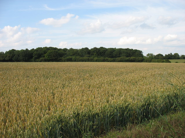
The surrounding countryside offers ample opportunities for outdoor activities such as walking, cycling, and horse riding. Additionally, the village is within close proximity to the Cotswold Area of Outstanding Natural Beauty, which further enhances the area's appeal to nature lovers and visitors.

Overall, Burton, Wiltshire is a charming village that combines historical significance with rural tranquility, making it an attractive place to live or visit for those seeking a peaceful countryside experience.

If you have any feedback on the listing, please let us know in the comments section below.
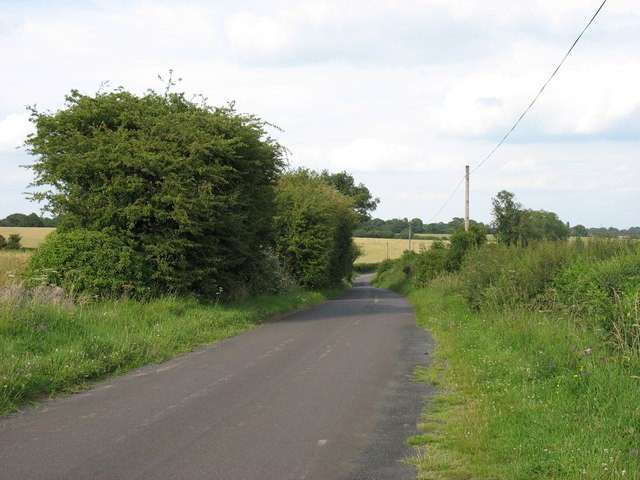
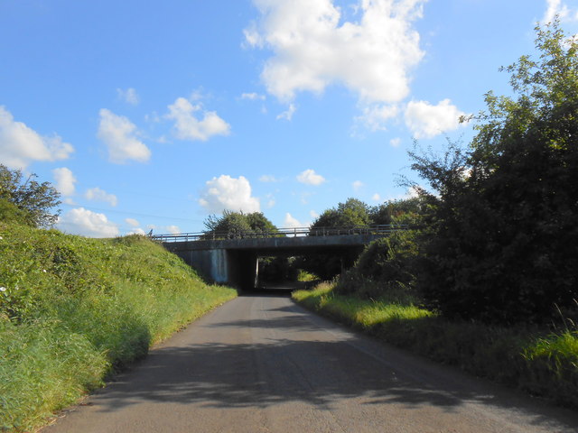
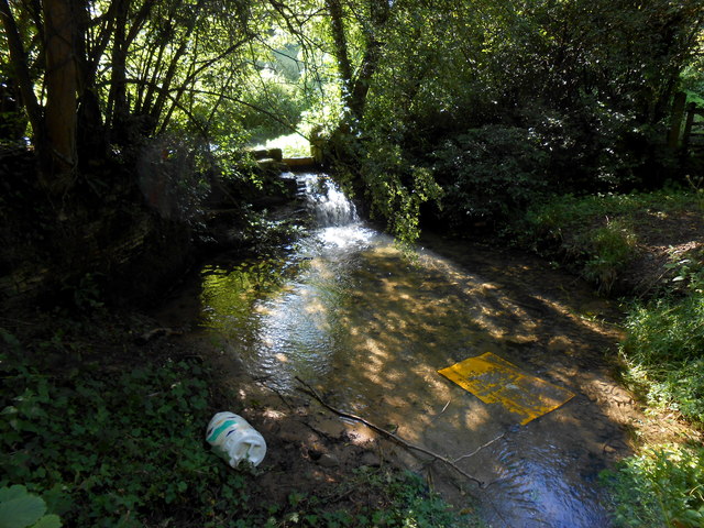
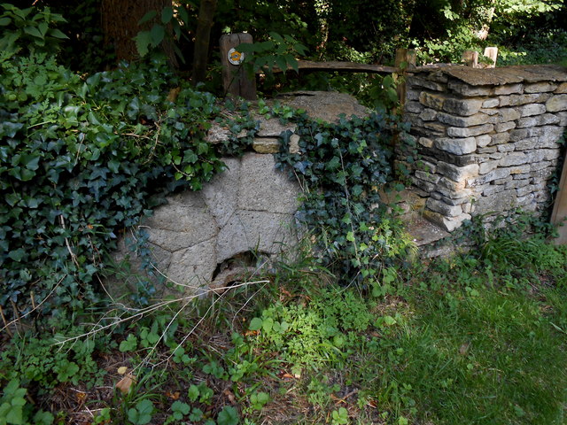
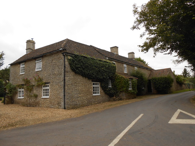
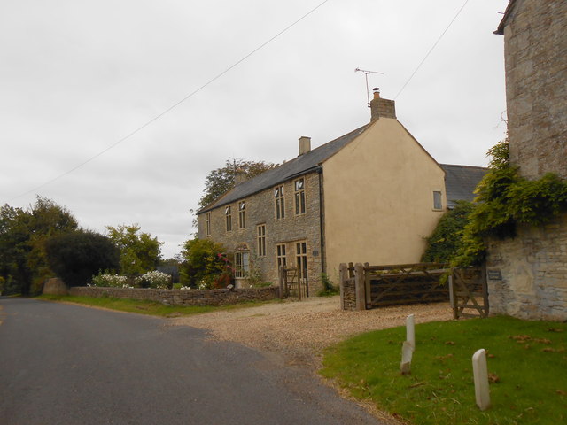
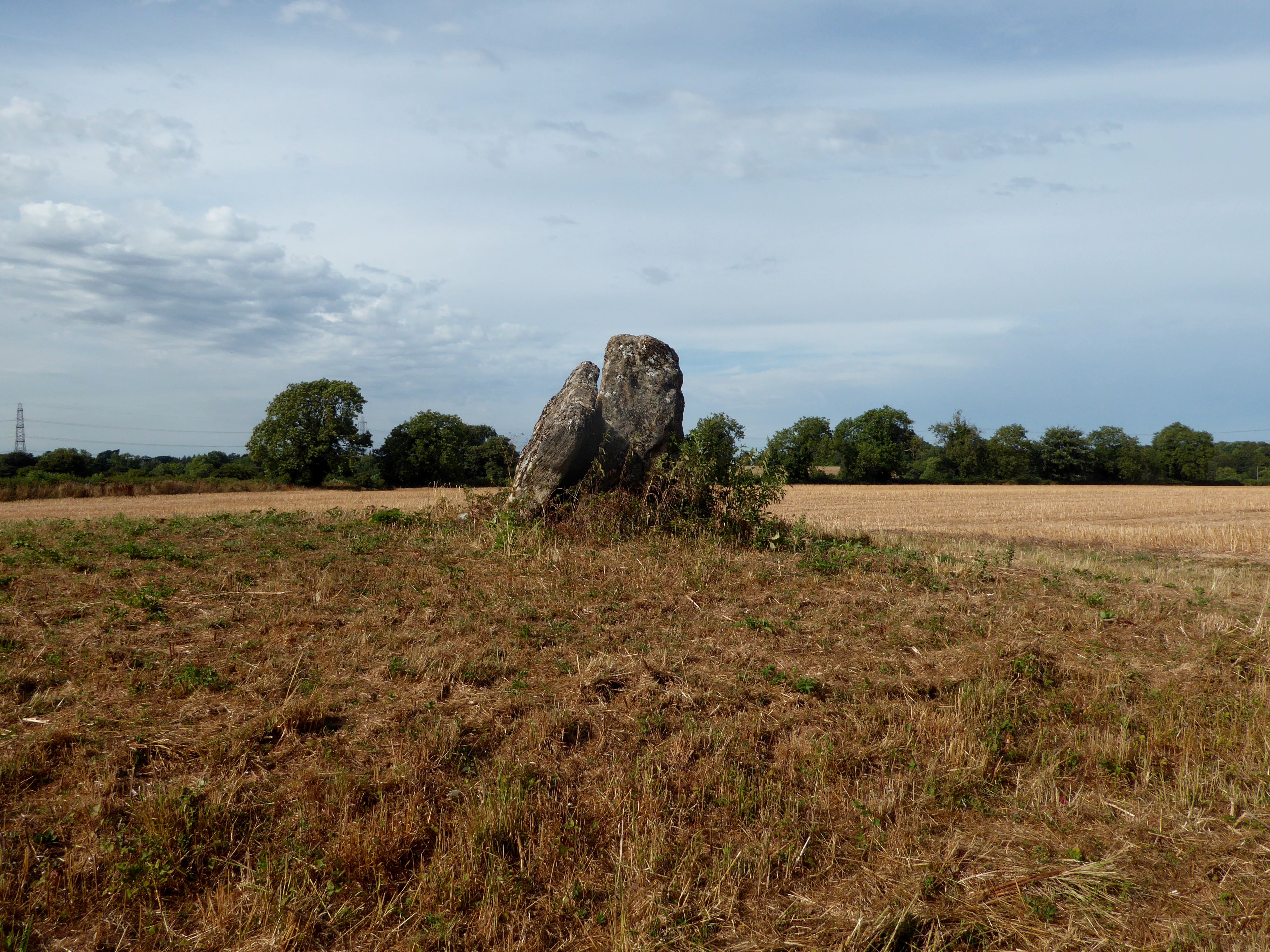
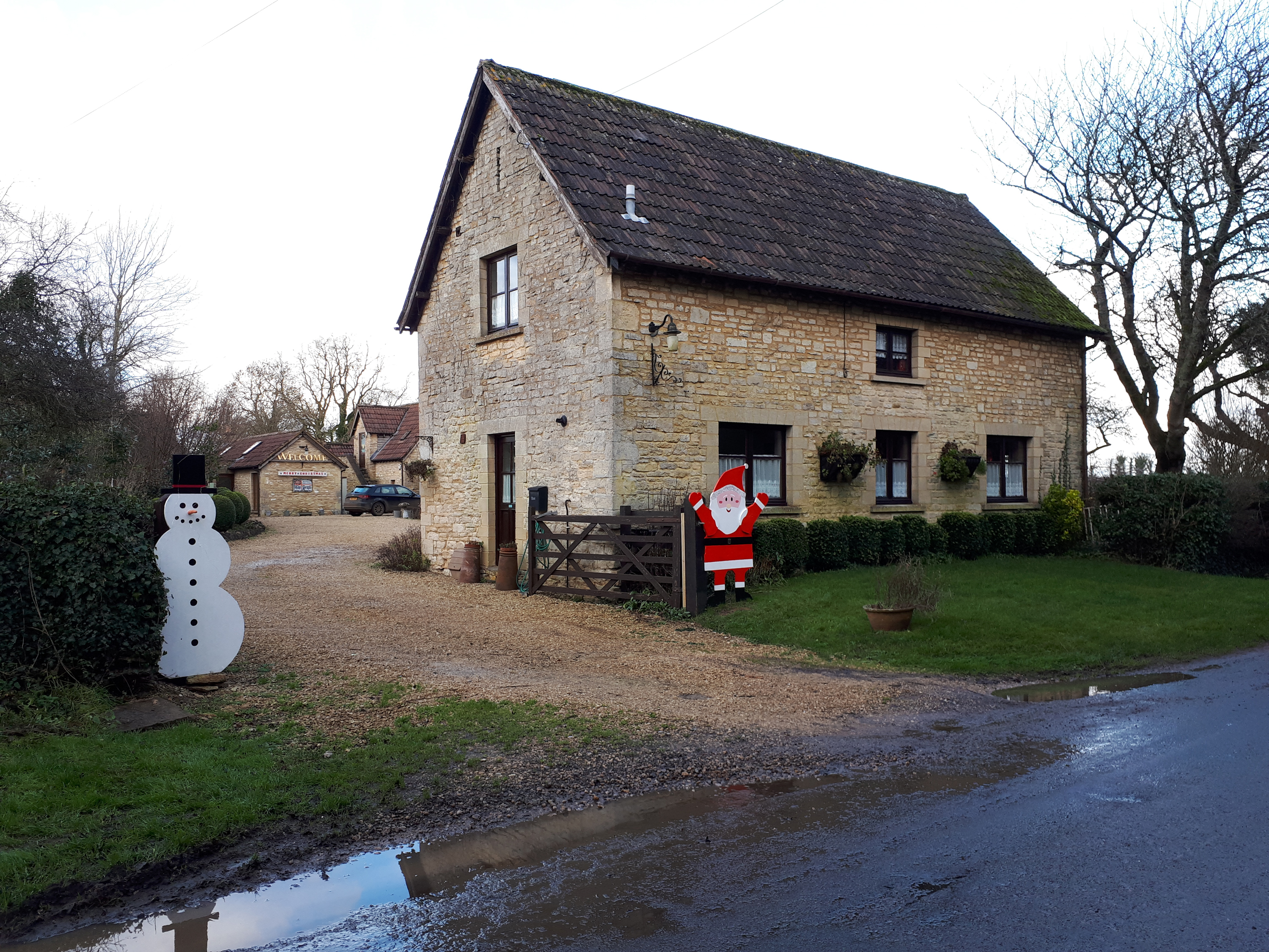
Burton Images

Images are sourced within 2km of 51.513542/-2.262244 or Grid Reference ST8179. Thanks to Geograph Open Source API. All images are credited.

M4 heading east, with power lines turning a corner south of the motorway
Burton church St Mary's church in Burton dates from the 13th century and is Grade I listed, see: <span class="nowrap"><a title="https://historicengland.org.uk/listing/the-list/list-entry/1022949?section=official-list-entry" rel="nofollow ugc noopener" href="https://historicengland.org.uk/listing/the-list/list-entry/1022949?section=official-list-entry">Link</a><img style="margin-left:2px;" alt="External link" title="External link - shift click to open in new window" src="https://s1.geograph.org.uk/img/external.png" width="10" height="10"/></span>
Burton church
St Mary's church in Burton dates from the 13th century and is Grade I listed, see: LinkExternal link
Lugbury long barrow, Nettleton The tall stone visible (Cromlech) on the right. Many skeletons were found inside in the 19th Century. The Roman Fosse Way is across the field.
Lugbury long barrow, Nettleton
The tall stone visible (Cromlech) on the right. Many skeletons were found inside in the 19th Century. The Roman Fosse Way is across the field.
Turning to Littleton Drew
Road junction west of Burton
Wall Leaze Wood From a minor road west of Burton, Wiltshire.
The M4 is only 300 metres away, but here it can be heard but not seen!
Wall Leaze Wood
From a minor road west of Burton, Wiltshire. The M4 is only 300 metres away, but here it can be heard but not seen!
The lane leading from Tormarton to Burton
M4 Motorway Bridge This motorway bridge is where the M4 passes over the minor road running from Littleton Drew to Horsedown.
M4 Motorway Bridge
This motorway bridge is where the M4 passes over the minor road running from Littleton Drew to Horsedown.
Pollution at Fosse Bridge This stream flows under the Fosse Way where the Roman road crosses a deep valley. There is a small weir which was originally the off-take for Gatcombe Mill further down the stream. Rubbish has been thrown into the stream from the bridge from which this photo was taken.
Pollution at Fosse Bridge
This stream flows under the Fosse Way where the Roman road crosses a deep valley. There is a small weir which was originally the off-take for Gatcombe Mill further down the stream. Rubbish has been thrown into the stream from the bridge from which this photo was taken.
Mill Stone at Gatcombe Mill This stone at the entrance to the drive of Gatcombe Mill is a French burr stone made from stone from France. There are two stones , one at either side of the drive gateway.
Mill Stone at Gatcombe Mill
This stone at the entrance to the drive of Gatcombe Mill is a French burr stone made from stone from France. There are two stones , one at either side of the drive gateway.
Mill Stone This mill stone is one of two at the entrance to Gatcombe Mill. This one is made from Millstone grit and the other from French Burr stone. The burr stone is made from a number of small pieces but this one is a single block of stone.
Mill Stone
This mill stone is one of two at the entrance to Gatcombe Mill. This one is made from Millstone grit and the other from French Burr stone. The burr stone is made from a number of small pieces but this one is a single block of stone.
Fields near Lugbury Farm This large arable field had been harvested and was awaiting ploughing and reseeding with the new crop. It is right next to, and borders the Fosse Way just east of Nettleton. From this point a footpath runs west to the village.
Fields near Lugbury Farm
This large arable field had been harvested and was awaiting ploughing and reseeding with the new crop. It is right next to, and borders the Fosse Way just east of Nettleton. From this point a footpath runs west to the village.
House at Lugbury Farm This house is in the extreme north west corner of the grid square where the Fosse Way just clips the north west corner of the square. The line of the old Roman road follows the lane on the right.
House at Lugbury Farm
This house is in the extreme north west corner of the grid square where the Fosse Way just clips the north west corner of the square. The line of the old Roman road follows the lane on the right.
Bridleway near Nettleton This bridleway follows an old tracks that runs from Lugbury Farm to the village of Norton.
Bridleway near Nettleton
This bridleway follows an old tracks that runs from Lugbury Farm to the village of Norton.
House at Burton Farm This modern house is part of the farm just to the south of the village of Burton which is mainly a pig farm with an extensive range of pig units.
House at Burton Farm
This modern house is part of the farm just to the south of the village of Burton which is mainly a pig farm with an extensive range of pig units.
Powerlines Near Nettleton These powerlines are in the very north east corner of the grid square. The pylon in the middle of the image is actually in ST8278. Most of the sloping land in this area is pasture land.
Powerlines Near Nettleton
These powerlines are in the very north east corner of the grid square. The pylon in the middle of the image is actually in ST8278. Most of the sloping land in this area is pasture land.
House at Nettleton Shrub This impressive stone farmhouse encrusted with ivy stands at a 'T' junction on the Fosse Way just south east of the small village of Nettleton.
House at Nettleton Shrub
This impressive stone farmhouse encrusted with ivy stands at a 'T' junction on the Fosse Way just south east of the small village of Nettleton.
Converted farmhouse in Nettleton This house is on the very southern edge of the grid square, So much so, that  the gridline actually runs through the middle of the house and the furthest away half of the house is actually in ST8178.
Converted farmhouse in Nettleton
This house is on the very southern edge of the grid square, So much so, that the gridline actually runs through the middle of the house and the furthest away half of the house is actually in ST8178.
Show me another place!

Burton is located at Grid Ref: ST8179 (Lat: 51.513542, Lng: -2.262244)

Unitary Authority: Wiltshire

Police Authority: Wiltshire

What 3 Words

///slimy.monday.bolsters. Near Nettleton, Wiltshire

Nearby Locations

Edgecorner Wood Burton

Related Wikis

Nearby Amenities

Located within 500m of 51.513542,-2.262244
Burton
Is In: Wiltshire, England, UK
Place: village
Postal Code: SN14 7
Wikidata: Q5000789
Lat/Long: 51.5132494/-2.2681726
BT Cabinet E3 - Badminton
Note: FTTC Enabled - Summer 2014
Lat/Long: 51.5147013/-2.2688717
Post Box
Post Box Type: wall
Ref: SN14 91
Royal Cypher: GR
Royal Cypher Wikidata: Q33102273
Lat/Long: 51.5148219/-2.2633568
Note: "HP GAS"
Pipeline: marker
Substance: gas
Support: pole
Lat/Long: 51.5116989/-2.2639534
Defibrillator
Defibrillator Location: On front of pub "The Old House at Home"
Emergency: defibrillator
Indoor: no
Survey Date: 2021-01-09
Lat/Long: 51.5142296/-2.2668485
Nettleton Engineering
Shop: car_repair
Lat/Long: 51.5143764/-2.2665625
Waste Basket
Lat/Long: 51.5142727/-2.2652971
Bench
Lat/Long: 51.514255/-2.2653449
Grit Bin
Colour: yellow
Material: plastic
Lat/Long: 51.5140586/-2.2652795
Power: substation
Lat/Long: 51.5140028/-2.2647379
Colour: green
Man Made: street_cabinet
Lat/Long: 51.5145046/-2.264113
Grit Bin
Material: plastic
Lat/Long: 51.5124995/-2.2641218
Power: pole
Lat/Long: 51.5135325/-2.2690869
Power: pole
Lat/Long: 51.512646/-2.2674588
Power: pole
Lat/Long: 51.5123977/-2.2656801
Power: pole
Lat/Long: 51.5125072/-2.2641709
Power: pole
Lat/Long: 51.5098875/-2.2613157
Power: pole
Lat/Long: 51.51052/-2.2611348
Direction: 160
Generator Method: photovoltaic
Generator Output Electricity: yes
Generator Solar Modules: 9
Generator Source: solar
Generator Type: solar_photovoltaic_panel
Location: roof
Power: generator
Lat/Long: 51.5138086/-2.2684557
Direction: 160
Generator Method: photovoltaic
Generator Output Electricity: yes
Generator Solar Modules: 7
Generator Source: solar
Generator Type: solar_photovoltaic_panel
Location: roof
Power: generator
Lat/Long: 51.5137832/-2.268458
Direction: 185
Generator Method: photovoltaic
Generator Output Electricity: yes
Generator Solar Modules: 8
Generator Source: solar
Generator Type: solar_photovoltaic_panel
Location: roof
Power: generator
Lat/Long: 51.514513/-2.2679668
Direction: 185
Generator Method: photovoltaic
Generator Output Electricity: yes
Generator Solar Modules: 8
Generator Source: solar
Generator Type: solar_photovoltaic_panel
Location: roof
Power: generator
Lat/Long: 51.5144748/-2.2679703
Burton Farm Shop and Kitchen
Addr City: Chippenham
Addr Housename: Burton Farm Shop
Addr Postcode: SN14 7LU
Addr Street: The Street
Addr Suburb: Burton
Phone: +44 1454 218866
Shop: farm
Lat/Long: 51.5148388/-2.267236
Post Office
Burton Stop Post Office
Addr City: Chippenham
Addr Housename: The Old House at Home
Addr Postcode: SN14 7LT
Addr Street: The Street
Addr Suburb: Burton
Brand: Post Office
Brand Wikidata: Q1783168
Opening Hours: Tu 12:00-13:00
Ref Pol Id: 175217
Lat/Long: 51.5141837/-2.2667769
The data included in this document is from www.openstreetmap.org. The data is made available under ODbL.

Have you been to Burton?

Leave your review of Burton below (or comments, questions and feedback).