Burton

Settlement in Wiltshire

England

Burton

Bridge over A303 at Mere The bridge carries Manor Way, which in turn is carrying the Mid Wilts Way LDP.
Bridge over A303 at Mere Credit: Derek Harper

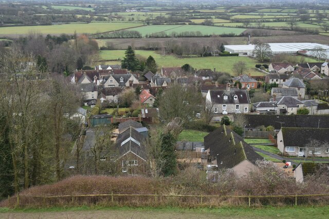
Burton is a small village located in the southern part of the county of Wiltshire, England. It is situated near the town of Malmesbury and lies approximately 15 miles northwest of the city of Swindon. With a population of around 500 residents, Burton is a peaceful and close-knit community.

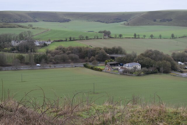
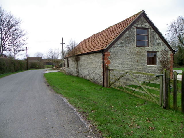
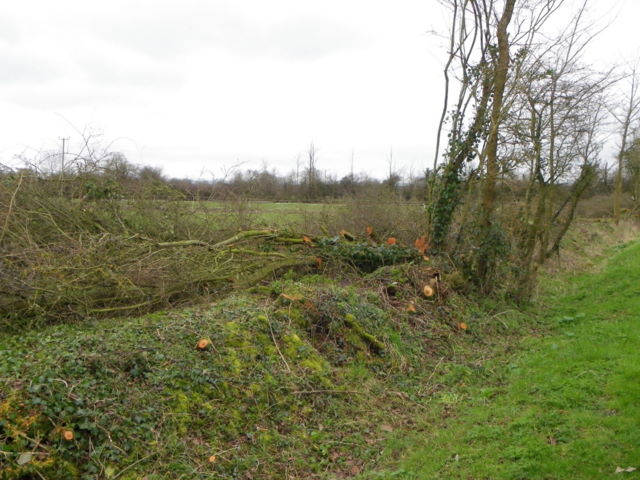
The village is known for its picturesque setting, surrounded by rolling hills and farmland. It offers stunning views of the nearby Cotswolds Area of Outstanding Natural Beauty. The local landscape is dotted with traditional stone-built houses and cottages, giving Burton a charming and quintessentially English feel.

Burton has a rich history, dating back many centuries. It was mentioned in the Domesday Book of 1086 and has several historic landmarks, including the Grade I listed St. Mary's Church, which dates back to the 12th century. The village also features a number of well-preserved thatched-roof buildings, adding to its historic charm.

While primarily a residential village, Burton does have a few amenities to serve its residents. These include a village hall, a primary school, a post office, and a local pub. However, for more extensive services and amenities, residents often travel to nearby towns and cities.

Despite its small size, Burton offers a strong sense of community, with various activities and events taking place throughout the year. The village benefits from its rural location, providing residents with opportunities for outdoor activities, such as walking, cycling, and exploring the surrounding countryside.

If you have any feedback on the listing, please let us know in the comments section below.
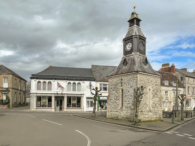
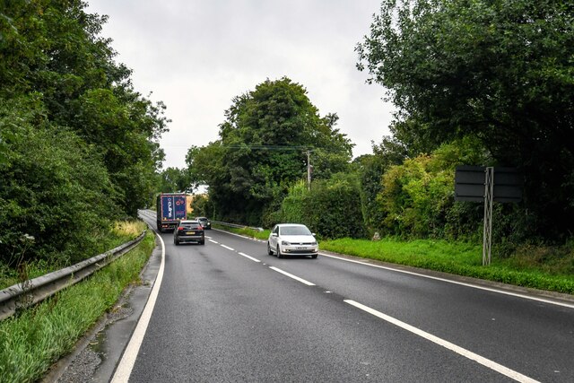
Burton Images

Images are sourced within 2km of 51.091664/-2.250569 or Grid Reference ST8232. Thanks to Geograph Open Source API. All images are credited.

Bridge over A303 at Mere The bridge carries Manor Way, which in turn is carrying the Mid Wilts Way LDP.
Bridge over A303 at Mere
The bridge carries Manor Way, which in turn is carrying the Mid Wilts Way LDP.
Path on the northern flank of Long Hill
View over Mere from Long Hill
Looking towards White Sheet Downs from Mere Castle The A303 passes under the bridge near the centre of this view.
Looking towards White Sheet Downs from Mere Castle
The A303 passes under the bridge near the centre of this view.
View down track to Manor Farm With Mere Castle beyond.
View down track to Manor Farm
With Mere Castle beyond.
Track towards Manor Farm The Mid Wilts Way descends form the White Sheet Downs towards Mere.
Track towards Manor Farm
The Mid Wilts Way descends form the White Sheet Downs towards Mere.
Clock Tower Clock tower in The Square, at the junction of Castle Street, Church Street and Salisbury Street.  Dated 1868 and designed by London architects Harding and Bond, it replaced a former medieval market house.  Grade II listed - see <span class="nowrap"><a title="https://historicengland.org.uk/listing/the-list/list-entry/1130733?section=official-list-entry" rel="nofollow ugc noopener" href="https://historicengland.org.uk/listing/the-list/list-entry/1130733?section=official-list-entry">Link</a><img style="margin-left:2px;" alt="External link" title="External link - shift click to open in new window" src="https://s1.geograph.org.uk/img/external.png" width="10" height="10"/></span>.  Next to it on the right is Mere War Memorial of 1921 and in the left background is the late 19th Century Walton House.  Both are also grade II listed - see <span class="nowrap"><a title="https://historicengland.org.uk/listing/the-list/list-entry/1452025?section=official-list-entry" rel="nofollow ugc noopener" href="https://historicengland.org.uk/listing/the-list/list-entry/1452025?section=official-list-entry">Link</a><img style="margin-left:2px;" alt="External link" title="External link - shift click to open in new window" src="https://s1.geograph.org.uk/img/external.png" width="10" height="10"/></span> and <span class="nowrap"><a title="https://historicengland.org.uk/listing/the-list/list-entry/1318646?section=official-list-entry" rel="nofollow ugc noopener" href="https://historicengland.org.uk/listing/the-list/list-entry/1318646?section=official-list-entry">Link</a><img style="margin-left:2px;" alt="External link" title="External link - shift click to open in new window" src="https://s1.geograph.org.uk/img/external.png" width="10" height="10"/></span> respectively.
Clock Tower
Clock tower in The Square, at the junction of Castle Street, Church Street and Salisbury Street. Dated 1868 and designed by London architects Harding and Bond, it replaced a former medieval market house. Grade II listed - see LinkExternal link. Next to it on the right is Mere War Memorial of 1921 and in the left background is the late 19th Century Walton House. Both are also grade II listed - see LinkExternal link and LinkExternal link respectively.
Mere : Chaddenwick Hill A303 Looking along Chaddenwick Hill.
Mere : Chaddenwick Hill A303
Looking along Chaddenwick Hill.
Old Milestone by the B3095, Castle Street, Mere parish Metal plate attached to stone post by the B3095, in parish of Mere (Salisbury District), Castle Street, in front of Milestone Cottage, on South side of road. Wincanton iron plate, erected by the Wincanton turnpike trust in the 18th century. 

Inscription reads:-
Wincanton
7
Hindon
7

Grade II listed. 
List Entry Number: 1199925 <span class="nowrap"><a title="https://historicengland.org.uk/listing/the-list/list-entry/1199925" rel="nofollow ugc noopener" href="https://historicengland.org.uk/listing/the-list/list-entry/1199925">Link</a><img style="margin-left:2px;" alt="External link" title="External link - shift click to open in new window" src="https://s1.geograph.org.uk/img/external.png" width="10" height="10"/></span>

Milestone Society National ID: WI_WCHD07
Old Milestone by the B3095, Castle Street, Mere parish
Metal plate attached to stone post by the B3095, in parish of Mere (Salisbury District), Castle Street, in front of Milestone Cottage, on South side of road. Wincanton iron plate, erected by the Wincanton turnpike trust in the 18th century. Inscription reads:- Wincanton 7 Hindon 7 Grade II listed. List Entry Number: 1199925 LinkExternal link Milestone Society National ID: WI_WCHD07
Farm building, White Hill Farm building at Wet Lane Farm.  There is an Ordnance Survey bench mark on the wall behind the down pipe.
Farm building, White Hill
Farm building at Wet Lane Farm. There is an Ordnance Survey bench mark on the wall behind the down pipe.
Bench Mark, White Hill The bench mark is tucked away behind the down pipe.  For a view of the building <a href="https://www.geograph.org.uk/photo/2301926">ST8230 : Farm building, White Hill</a> and for further information on the bench mark and others in the area <span class="nowrap"><a title="http://www.bench-marks.org.uk/bm37253" rel="nofollow ugc noopener" href="http://www.bench-marks.org.uk/bm37253">Link</a><img style="margin-left:2px;" alt="External link" title="External link - shift click to open in new window" src="https://s1.geograph.org.uk/img/external.png" width="10" height="10"/></span>
Bench Mark, White Hill
The bench mark is tucked away behind the down pipe. For a view of the building ST8230 : Farm building, White Hill and for further information on the bench mark and others in the area LinkExternal link
Laid hedge, White Hill Laid hedges are made by bending over the samplings of the growing bush at an angle of 45 degrees.  The bent saplings are woven around stakes driven into the ground at intervals of 1-2 yards.  The crest is crowned by a tightly woven layer of severed rods, known as hethers, which prevent the growing wood from springing erect.  Unwanted twigs and branches are removed.

To prevent it from running wild, a hedge needs this treatment every five to ten years.  Because hedge-laying is a skilled, expensive and time-consuming task, many hedges have been neglected.
Laid hedge, White Hill
Laid hedges are made by bending over the samplings of the growing bush at an angle of 45 degrees. The bent saplings are woven around stakes driven into the ground at intervals of 1-2 yards. The crest is crowned by a tightly woven layer of severed rods, known as hethers, which prevent the growing wood from springing erect. Unwanted twigs and branches are removed. To prevent it from running wild, a hedge needs this treatment every five to ten years. Because hedge-laying is a skilled, expensive and time-consuming task, many hedges have been neglected.
St Matthew's Church, White Hill A small well kept church on the junction of Wet Lane and Shaftesbury Road.
St Matthew's Church, White Hill
A small well kept church on the junction of Wet Lane and Shaftesbury Road.
Detail, St Matthew's Church The handle to the church door <a href="https://www.geograph.org.uk/photo/2302013">ST8230 : St Matthew's Church, White Hill</a>
Detail, St Matthew's Church
The handle to the church door ST8230 : St Matthew's Church, White Hill
Finger post, White Hill The black and white finger post stands opposite St Matthew's Church.
Finger post, White Hill
The black and white finger post stands opposite St Matthew's Church.
St. Michael's, Mere, Wiltshire
Churchyard, Mere
Churchyard, Mere
Mere Croquet Club Formed to make use of open space off Steep Street and preserve it from development when the bowls club moved elsewhere, this small ground accommodates a clubhouse, toilet block and boules as well as croquet.
Mere Croquet Club
Formed to make use of open space off Steep Street and preserve it from development when the bowls club moved elsewhere, this small ground accommodates a clubhouse, toilet block and boules as well as croquet.
Show me another place!

Burton is located at Grid Ref: ST8232 (Lat: 51.091664, Lng: -2.250569)

Unitary Authority: Wiltshire

Police Authority: Wiltshire

What 3 Words

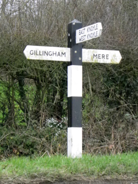
///whistle.clocking.nicer. Near Mere, Wiltshire

Nearby Locations

Burton Mere

Related Wikis

Mere, Wiltshire

Mere is a market town and civil parish in Wiltshire, England. It lies at the extreme southwestern tip of Salisbury Plain, close to the borders of Somerset...

Charnage Down Chalk Pit

Charnage Down Chalk Pit (grid reference ST837329) is a 3.7 hectare geological Site of Special Scientific Interest in Wiltshire, England, lying east of...

Castle Hill, Mere

Castle Hill, also called Mere Castle, was a medieval fortification built by Richard, the Earl of Cornwall, in 1253 on a hill overlooking the town of Mere...

Barrow Street, Wiltshire

Barrow Street is a hamlet in Wiltshire, England, about 1.9 miles (3.1 km) southeast of the town of Mere. The name comes from the early Bronze Age bowl...

Dead Maid Quarry

Dead Maid Quarry (grid reference ST803324) is a 4,400 square metre geological Site of Special Scientific Interest in Mere, Wiltshire, England, notified...
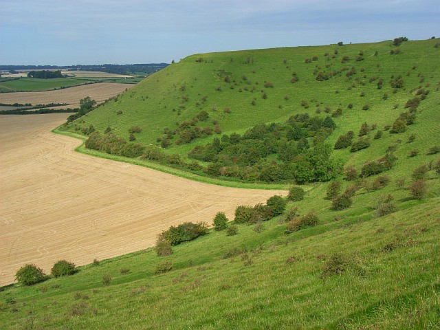
White Sheet Hill

White Sheet Hill, also known as Whitesheet Hill, is a hill in the English county of Wiltshire. As one of the most westerly areas of downland in Britain...

West Knoyle

West Knoyle is a small village and civil parish in southwest Wiltshire, England, close to the southern edge of Salisbury Plain. The village is about 2...

Hang Wood

Hang Wood (grid reference ST861319) is a 20.3 hectare biological Site of Special Scientific Interest in Wiltshire, notified in 1986. == Sources == Natural...

Nearby Amenities

Located within 500m of 51.091664,-2.250569
The data included in this document is from www.openstreetmap.org. The data is made available under ODbL.

Have you been to Burton?

Leave your review of Burton below (or comments, questions and feedback).