Edgecorner Wood

Wood, Forest in Wiltshire

England

Edgecorner Wood

Junction of Drifton Hill in West Kington The junction at the top of Drifton Hill in West Kington, looking east down Wood Lane, with Smith Street straight ahead.
Junction of Drifton Hill in West Kington Credit: Kevin Pearson

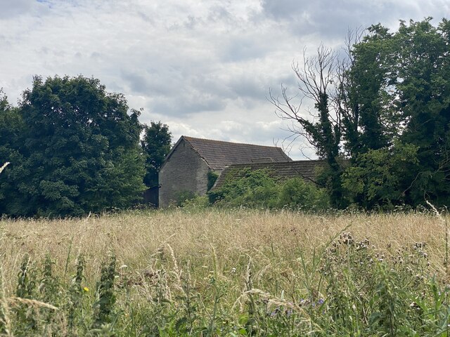
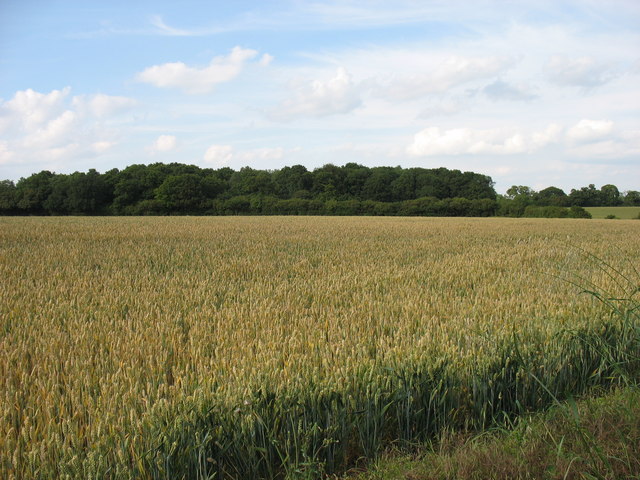
Edgecorner Wood is a charming forested area located in the county of Wiltshire, England. Covering an approximate area of 50 hectares, this woodland is a haven for nature enthusiasts and outdoor adventurers. The wood is situated near the small village of Edgecorner, hence its name.

The forest boasts a diverse range of tree species, including oak, beech, and ash, creating a rich and vibrant ecosystem. These trees provide a vital habitat for various wildlife, such as deer, foxes, and a plethora of bird species. Walking through Edgecorner Wood, visitors can enjoy the peaceful ambiance and the soothing sounds of nature.

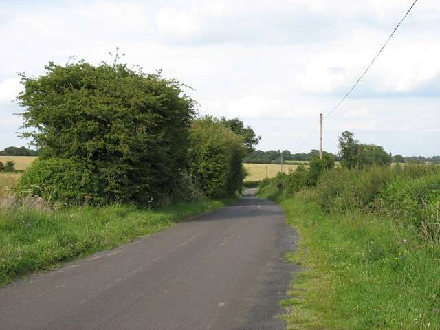
A network of well-maintained trails crisscrosses the wood, making it accessible for hikers and nature lovers of all ages. These paths lead to hidden clearings, picturesque viewpoints, and tranquil streams, adding to the wood's allure. Explorers can also stumble upon charming ancient ruins, such as the remnants of an old stone cottage, adding a touch of mystery and history to the area.

Edgecorner Wood is managed by the local authorities, ensuring its preservation and conservation. The wood is open to the public year-round and offers an escape from the hustle and bustle of urban life. It is a popular destination for nature walks, birdwatching, and family picnics.

In conclusion, Edgecorner Wood in Wiltshire is a captivating woodland retreat, providing a sanctuary for wildlife and a peaceful haven for visitors seeking solace in nature's beauty.

If you have any feedback on the listing, please let us know in the comments section below.

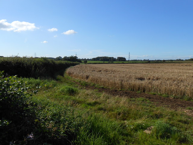
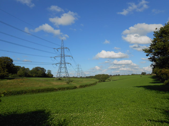
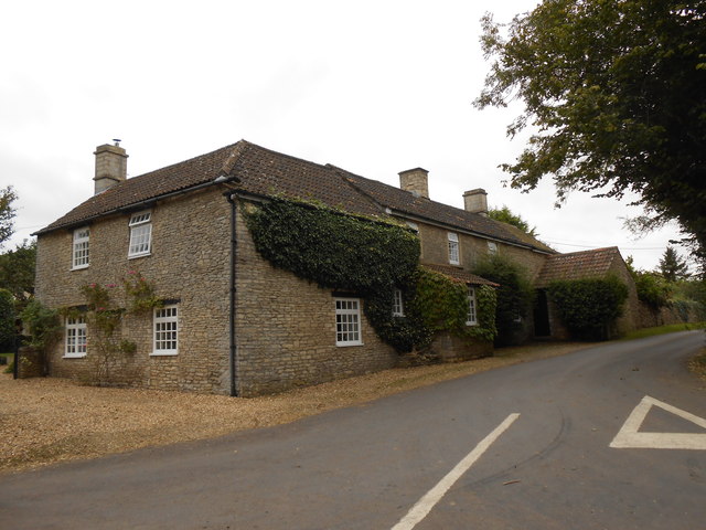
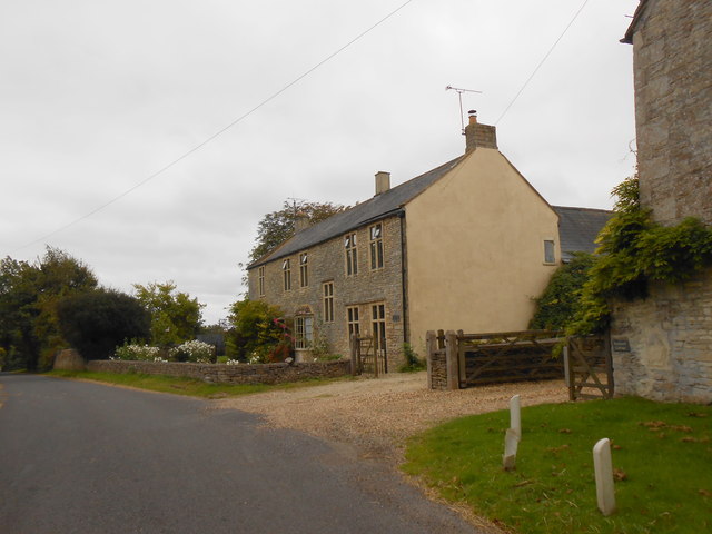
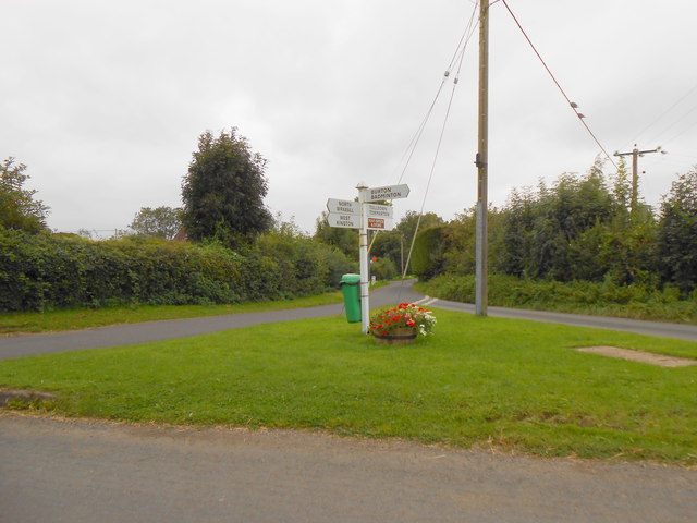
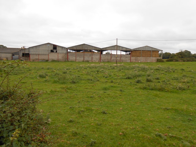
Edgecorner Wood Images

Images are sourced within 2km of 51.511625/-2.2726432 or Grid Reference ST8179. Thanks to Geograph Open Source API. All images are credited.

Junction of Drifton Hill in West Kington The junction at the top of Drifton Hill in West Kington, looking east down Wood Lane, with Smith Street straight ahead.
Junction of Drifton Hill in West Kington
The junction at the top of Drifton Hill in West Kington, looking east down Wood Lane, with Smith Street straight ahead.
Wood Lane, West Kington Looking down Wood Lane in West Kington, where it crosses the Broadmead Brook.  The lane leading to West Kington Wick is on the right.
Wood Lane, West Kington
Looking down Wood Lane in West Kington, where it crosses the Broadmead Brook. The lane leading to West Kington Wick is on the right.
Warren Barn
Warren Barn
Burton church St Mary's church in Burton dates from the 13th century and is Grade I listed, see: <span class="nowrap"><a title="https://historicengland.org.uk/listing/the-list/list-entry/1022949?section=official-list-entry" rel="nofollow ugc noopener" href="https://historicengland.org.uk/listing/the-list/list-entry/1022949?section=official-list-entry">Link</a><img style="margin-left:2px;" alt="External link" title="External link - shift click to open in new window" src="https://s1.geograph.org.uk/img/external.png" width="10" height="10"/></span>
Burton church
St Mary's church in Burton dates from the 13th century and is Grade I listed, see: LinkExternal link
Freshly turned field by Warren Barn
Broadmead Brook Bridge West Kington is a small Cotswold village strung along the steep sided valley of this small tributary of the River Avon. Its 19th C church is situated on higher ground behind the cottages in the picture.
Broadmead Brook Bridge
West Kington is a small Cotswold village strung along the steep sided valley of this small tributary of the River Avon. Its 19th C church is situated on higher ground behind the cottages in the picture.
Road junction west of Burton
Wall Leaze Wood From a minor road west of Burton, Wiltshire.
The M4 is only 300 metres away, but here it can be heard but not seen!
Wall Leaze Wood
From a minor road west of Burton, Wiltshire. The M4 is only 300 metres away, but here it can be heard but not seen!
The lane leading from Tormarton to Burton
Bridleway near Nettleton This bridleway follows an old tracks that runs from Lugbury Farm to the village of Norton.
Bridleway near Nettleton
This bridleway follows an old tracks that runs from Lugbury Farm to the village of Norton.
House at Burton Farm This modern house is part of the farm just to the south of the village of Burton which is mainly a pig farm with an extensive range of pig units.
House at Burton Farm
This modern house is part of the farm just to the south of the village of Burton which is mainly a pig farm with an extensive range of pig units.
Powerlines Near Nettleton These powerlines are in the very north east corner of the grid square. The pylon in the middle of the image is actually in ST8278. Most of the sloping land in this area is pasture land.
Powerlines Near Nettleton
These powerlines are in the very north east corner of the grid square. The pylon in the middle of the image is actually in ST8278. Most of the sloping land in this area is pasture land.
House at Nettleton Shrub This impressive stone farmhouse encrusted with ivy stands at a 'T' junction on the Fosse Way just south east of the small village of Nettleton.
House at Nettleton Shrub
This impressive stone farmhouse encrusted with ivy stands at a 'T' junction on the Fosse Way just south east of the small village of Nettleton.
Converted farmhouse in Nettleton This house is on the very southern edge of the grid square, So much so, that  the gridline actually runs through the middle of the house and the furthest away half of the house is actually in ST8178.
Converted farmhouse in Nettleton
This house is on the very southern edge of the grid square, So much so, that the gridline actually runs through the middle of the house and the furthest away half of the house is actually in ST8178.
Green Triangle at Nettleton Green This patch of grass is right in the heart of this small village. The signpost next to the attractive half-barrel tub of flowers points the direction to North Wraxall and West Kington (to the left), Burton and Badminton (to the right), and Tolldown and Todmarton (straight ahead). The last-mentioned road  is also signposted as the direction to the village post office and store. The village improvement committee of the parish council is obviously hard at work as there is a waste bin attached to the sign post next to the flowers.
Green Triangle at Nettleton Green
This patch of grass is right in the heart of this small village. The signpost next to the attractive half-barrel tub of flowers points the direction to North Wraxall and West Kington (to the left), Burton and Badminton (to the right), and Tolldown and Todmarton (straight ahead). The last-mentioned road is also signposted as the direction to the village post office and store. The village improvement committee of the parish council is obviously hard at work as there is a waste bin attached to the sign post next to the flowers.
Manor Farm This four-bay barn is on Manor Farm close to the minor road that runs from Nettleton Green to the Fosse Way about a kilometre distant. This road would have been important in times gone by as it runs the mill on the Broadmead Brook just on the other eastern side of the Fosse Way. The land is mainly pasture fields.
Manor Farm
This four-bay barn is on Manor Farm close to the minor road that runs from Nettleton Green to the Fosse Way about a kilometre distant. This road would have been important in times gone by as it runs the mill on the Broadmead Brook just on the other eastern side of the Fosse Way. The land is mainly pasture fields.
M4, B4039 Bridge
M4, B4039 Bridge
The M4 The M4 is 190 miles long and runs from London to South Wales. Major centres close to the motorway include Reading, Swindon, Bristol, Newport, Cardiff and Swansea. The motorway was constructed between 1961 and 1996. The M4 originally crossed the first Severn Road Bridge. It has now been diverted to use the Second Severn Crossing and the motorway over the older bridge has been renumbered as M48.
Wikipedia: <span class="nowrap"><a title="http://en.wikipedia.org/wiki/M4_motorway" rel="nofollow ugc noopener" href="http://en.wikipedia.org/wiki/M4_motorway">Link</a><img style="margin-left:2px;" alt="External link" title="External link - shift click to open in new window" src="https://s1.geograph.org.uk/img/external.png" width="10" height="10"/></span>
The M4
The M4 is 190 miles long and runs from London to South Wales. Major centres close to the motorway include Reading, Swindon, Bristol, Newport, Cardiff and Swansea. The motorway was constructed between 1961 and 1996. The M4 originally crossed the first Severn Road Bridge. It has now been diverted to use the Second Severn Crossing and the motorway over the older bridge has been renumbered as M48. Wikipedia: LinkExternal link
Show me another place!

Edgecorner Wood is located at Grid Ref: ST8179 (Lat: 51.511625, Lng: -2.2726432)

Unitary Authority: Wiltshire

Police Authority: Wiltshire

What 3 Words

///shunning.model.vaccines. Near Nettleton, Wiltshire

Nearby Locations

Edgecorner Wood Burton

Related Wikis

Burton, Nettleton

Burton is a small village in the Cotswolds Area of Outstanding Natural Beauty in Wiltshire, England. Kelly's 1915 Directory of Wiltshire identifies Burton...

Nettleton, Wiltshire

Nettleton is a village and civil parish about 6.5 miles (10.5 km) northwest of Chippenham in Wiltshire, England. The parish includes the villages of Burton...

Acton Turville

Acton Turville is a parish in the Cotswold Edge ward within South Gloucestershire, England. It lies 17 miles (27 km) east-northeast of Bristol and 93 miles...

West Kington

West Kington is a village in the civil parish of Nettleton, in Wiltshire, England. The village lies in the steeply wooded valley of the Broadmead Brook...

Lugbury Long Barrow

Lugbury Long Barrow is a prehistoric long barrow in Wiltshire, England, about 0.6 miles (1 km) east of Nettleton and about 1 mile (1.6 km) north-west of...

Badminton railway station

Badminton railway station is a closed railway station in Gloucestershire, England on the line between Wootton Bassett to the east, and Patchway and Filton...

Fosse Farmhouse

Fosse Farmhouse is an 18th-century farmhouse in the English Cotswolds near the Fosse Way and Castle Combe. It is now used to provide hospitality and accommodation...

Little Grubbins Meadow

Little Grubbins Meadow (grid reference ST831773) is a 3.0 hectare biological Site of Special Scientific Interest in Wiltshire, England, notified in 1975...

Nearby Amenities

Located within 500m of 51.511625,-2.2726432
Burton
Is In: Wiltshire, England, UK
Place: village
Postal Code: SN14 7
Wikidata: Q5000789
Lat/Long: 51.5132494/-2.2681726
BT Cabinet E3 - Badminton
Note: FTTC Enabled - Summer 2014
Lat/Long: 51.5147013/-2.2688717
Give Way
Direction: forward
Lat/Long: 51.5084172/-2.2684502
Note: "HP GAS"
Pipeline: marker
Substance: gas
Support: pole
Lat/Long: 51.5092049/-2.2693688
Defibrillator
Defibrillator Location: On front of pub "The Old House at Home"
Emergency: defibrillator
Indoor: no
Survey Date: 2021-01-09
Lat/Long: 51.5142296/-2.2668485
Power: pole
Lat/Long: 51.5144653/-2.2700177
Power: pole
Lat/Long: 51.5135325/-2.2690869
Power: pole
Lat/Long: 51.512646/-2.2674588
Power: pole
Lat/Long: 51.5123977/-2.2656801
Power: pole
Lat/Long: 51.5151087/-2.2697023
Colour: yellow;black
Marker: aerial
Operator: GPSS
Utility: oil
Lat/Long: 51.5150157/-2.2705206
Colour: white
Marker: stone
Operator: GPSS
Utility: oil
Lat/Long: 51.5150177/-2.2705058
Direction: 160
Generator Method: photovoltaic
Generator Output Electricity: yes
Generator Solar Modules: 9
Generator Source: solar
Generator Type: solar_photovoltaic_panel
Location: roof
Power: generator
Lat/Long: 51.5138086/-2.2684557
Direction: 160
Generator Method: photovoltaic
Generator Output Electricity: yes
Generator Solar Modules: 7
Generator Source: solar
Generator Type: solar_photovoltaic_panel
Location: roof
Power: generator
Lat/Long: 51.5137832/-2.268458
Direction: 185
Generator Method: photovoltaic
Generator Output Electricity: yes
Generator Solar Modules: 8
Generator Source: solar
Generator Type: solar_photovoltaic_panel
Location: roof
Power: generator
Lat/Long: 51.514513/-2.2679668
Direction: 185
Generator Method: photovoltaic
Generator Output Electricity: yes
Generator Solar Modules: 8
Generator Source: solar
Generator Type: solar_photovoltaic_panel
Location: roof
Power: generator
Lat/Long: 51.5144748/-2.2679703
The data included in this document is from www.openstreetmap.org. The data is made available under ODbL.

Have you been to Edgecorner Wood?

Leave your review of Edgecorner Wood below (or comments, questions and feedback).