Coed Nant Newydd
Wood, Forest in Caernarfonshire
Wales
Coed Nant Newydd

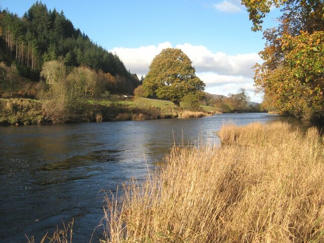
Coed Nant Newydd, located in Caernarfonshire, is a picturesque wood or forest that spans over a vast area. Situated in the beautiful countryside of North Wales, it captivates visitors with its lush greenery, diverse wildlife, and serene atmosphere.
Covering an expansive area, Coed Nant Newydd is home to a variety of tree species, including oak, beech, ash, and birch. The wood boasts a dense canopy that offers shade and shelter, creating a tranquil environment for both flora and fauna. The forest floor is adorned with a carpet of vibrant wildflowers and moss, adding to its natural beauty.
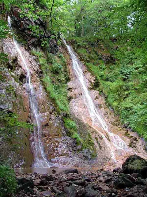
The wood is intersected by a network of well-maintained trails, allowing visitors to explore its hidden treasures. These paths wind through the forest, meandering alongside babbling brooks and enchanting waterfalls. The gentle sounds of nature provide a soothing backdrop to the experience.
Coed Nant Newydd is also a haven for wildlife enthusiasts. The forest is home to a diverse range of animals, including red squirrels, badgers, foxes, and a variety of bird species. Nature lovers can often spot these creatures while strolling through the wood or quietly observing from one of the strategically placed bird hides.
The wood's natural beauty and tranquility make it a popular destination for outdoor activities such as hiking, birdwatching, and photography. Whether seeking solitude in nature or immersing oneself in its vibrant ecosystem, Coed Nant Newydd offers a captivating experience for all who visit.
If you have any feedback on the listing, please let us know in the comments section below.
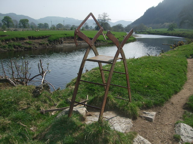
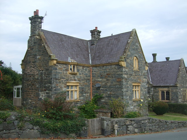
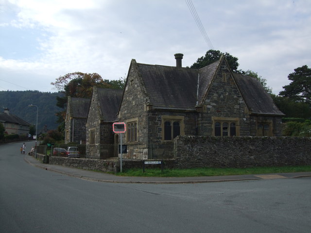
Coed Nant Newydd Images
Images are sourced within 2km of 53.125811/-3.8094014 or Grid Reference SH7960. Thanks to Geograph Open Source API. All images are credited.


Coed Nant Newydd is located at Grid Ref: SH7960 (Lat: 53.125811, Lng: -3.8094014)
Unitary Authority: Conwy
Police Authority: North Wales
What 3 Words
///chainsaw.cutaway.adding. Near Llanrwst, Conwy
Nearby Locations
Related Wikis
Grey Mare's Tail, Conwy
The Grey Mare's Tail (Welsh: Rhaeadr y Parc Mawr) is a waterfall on the very edge of the Snowdonia National Park near Gwydir Castle in the county of Conwy...
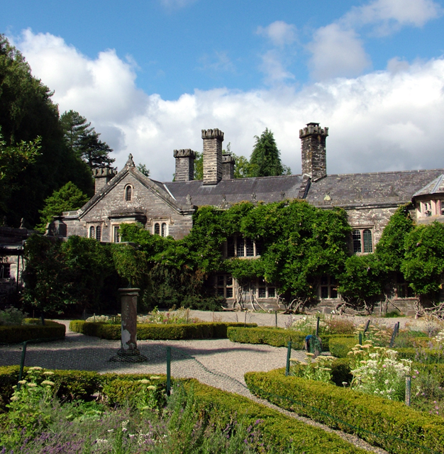
Gwydir Castle
Gwydir Castle is situated in the Conwy valley, Wales, a mile to the west of the ancient market town of Llanrwst and 1.5 miles (2.4 km) to the south of...
Gwydir Forest
Gwydir Forest, also spelled Gwydyr, is located in Conwy county borough and the Snowdonia National Park in Wales. It takes its name from the ancient Gwydir...

Llanrwst United F.C.
Llanrwst United (Welsh: Clwb Pêl-Droed Llanrwst Unedig) is a Welsh football club based in Llanrwst in the Conwy Valley. They play in the Ardal Leagues...

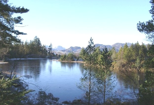
Llyn Parc
Llyn Parc (also known as "Llyn y Parc") is a lake in the Gwydir Forest in North Wales. Lying at a height of 664 feet, it covers an area of 22 acres (89...
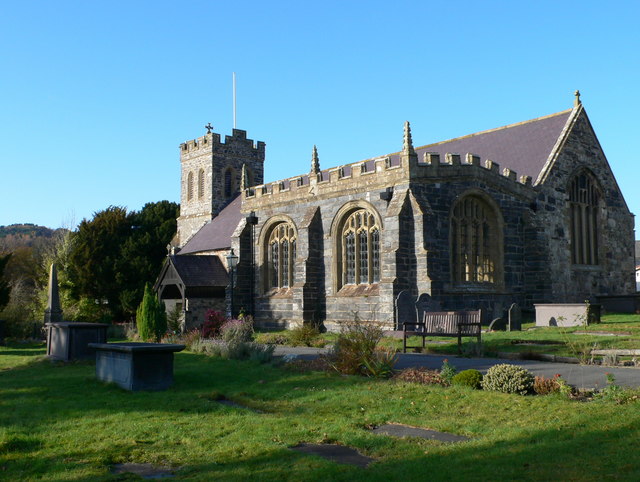
St Grwst's Church, Llanrwst
St Grwst's Church, Llanrwst, is located in Church Street (Tan yr Eglwys), Llanrwst, Conwy, Wales. It is an active Church in Wales parish church and is...
St Mary's Church, Llanrwst
St Mary's Church, Llanrwst, was located in Betws Road, Llanrwst, Conwy, Wales. It had been built in 1841–42, and was designed by Henry Kennedy. Intended...
Nant Conwy Rural District
Nant Conwy was a rural district in the administrative county of Caernarfonshire from 1934 to 1974. The district was formed by a County Review Order, combining...
Related Videos
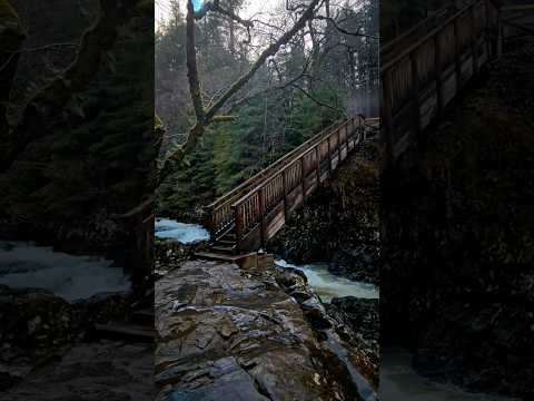
📍Miners Bridge #northwales #uk #viral #travel #hiking #youtubeshorts #petfriendly #naturelovers
visit our channel @VPtravel soon to add full hike details.

Gwydir Forest & Llanrwst Circular Walk, Snowdonia, Wales , U.K.
Gwydir ( also spelt , Gwydyr ) Forest & Llanrwst Circular Walk. Good hike, bit steep in places. Mix of town, riverside, & forest.
Walking the Cat
Our beautiful cat froze on a lead.

Nearby Amenities
Located within 500m of 53.125811,-3.8094014Have you been to Coed Nant Newydd?
Leave your review of Coed Nant Newydd below (or comments, questions and feedback).