Coed Carreg-y-gwalch
Wood, Forest in Caernarfonshire
Wales
Coed Carreg-y-gwalch
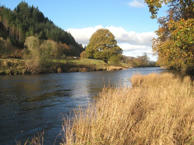
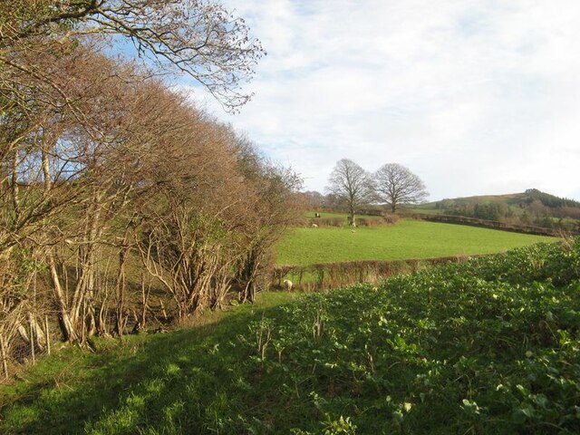
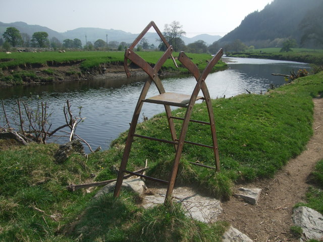
Coed Carreg-y-gwalch, located in Caernarfonshire, Wales, is a picturesque wood and forest area that spans over a significant expanse. Situated near the town of Llanberis, the woodland covers several hectares and offers visitors a tranquil and scenic natural environment to explore.
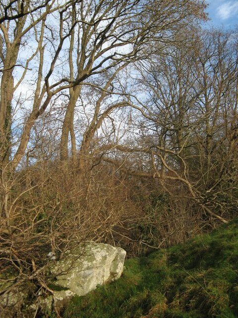
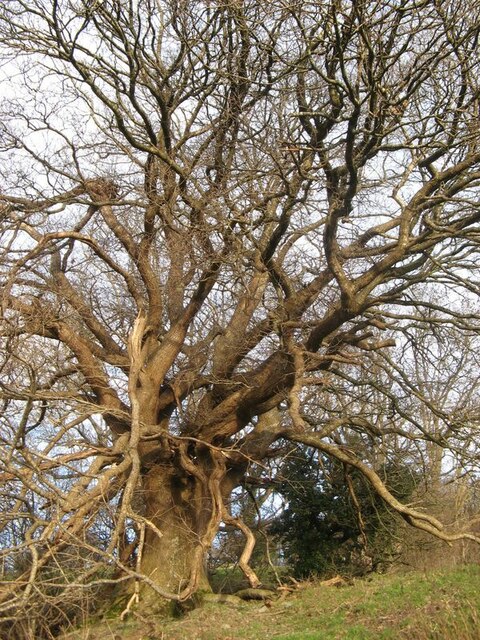
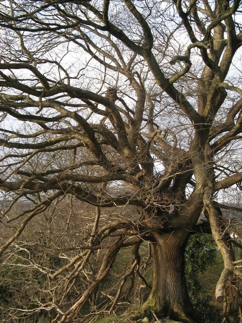
The wood is predominantly made up of native tree species, including oak, birch, and rowan, which contribute to its diverse and vibrant ecosystem. These trees provide a habitat for numerous bird species, such as jays, woodpeckers, and various songbirds, making it a haven for birdwatching enthusiasts.
Walking trails crisscross the woodland, allowing visitors to immerse themselves in its beauty while observing the local flora and fauna. The trails vary in difficulty, accommodating both casual strollers and more experienced hikers. The paths wind through dense greenery, opening up to breathtaking views of the surrounding countryside, including the nearby mountains and lakes.
Coed Carreg-y-gwalch is also known for its rich history and cultural significance. The wood has been used by locals for centuries, providing timber for construction and firewood. It has also been a source of inspiration for artists and writers, who have depicted its beauty in various forms of art.
Visitors to Coed Carreg-y-gwalch can enjoy a peaceful retreat away from the hustle and bustle of modern life, surrounded by the sights and sounds of nature. Whether one is seeking a leisurely stroll, a challenging hike, or simply a moment of tranquility, this woodland offers a serene and captivating experience for all who venture within its boundaries.
If you have any feedback on the listing, please let us know in the comments section below.
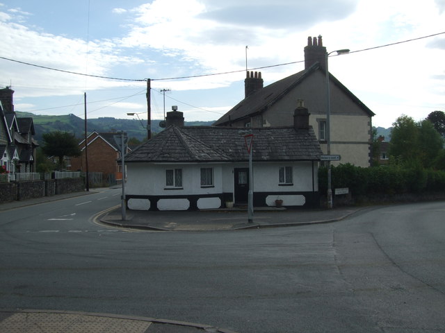
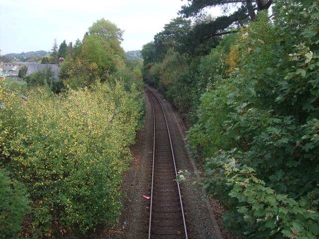
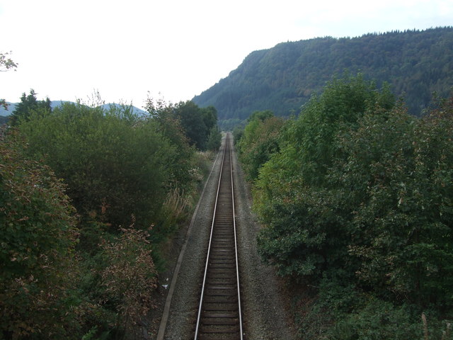
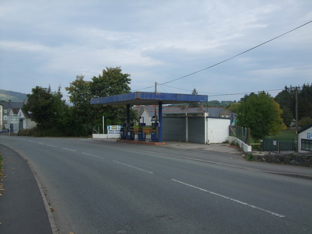
Coed Carreg-y-gwalch Images
Images are sourced within 2km of 53.128615/-3.8035405 or Grid Reference SH7960. Thanks to Geograph Open Source API. All images are credited.
Coed Carreg-y-gwalch is located at Grid Ref: SH7960 (Lat: 53.128615, Lng: -3.8035405)
Unitary Authority: Conwy
Police Authority: North Wales
What 3 Words
///crumples.chucked.tuned. Near Llanrwst, Conwy
Nearby Locations
Related Wikis
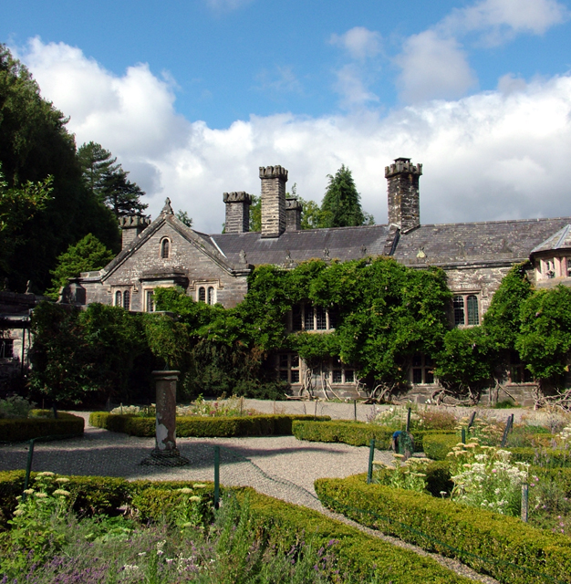
Gwydir Castle
Gwydir Castle is situated in the Conwy valley, Wales, a mile to the west of the ancient market town of Llanrwst and 1.5 miles (2.4 km) to the south of...
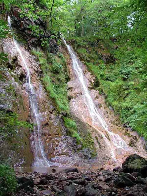
Grey Mare's Tail, Conwy
The Grey Mare's Tail (Welsh: Rhaeadr y Parc Mawr) is a waterfall on the very edge of the Snowdonia National Park near Gwydir Castle in Conwy County Borough...

Llanrwst United F.C.
Llanrwst United (Welsh: Clwb Pêl-Droed Llanrwst Unedig) is a Welsh football club based in Llanrwst in the Conwy Valley. They play in the Ardal Leagues...
St Mary's Church, Llanrwst
St Mary's Church, Llanrwst, was located in Betws Road, Llanrwst, Conwy, Wales. It had been built in 1841–42, and was designed by Henry Kennedy. Intended...
Related Videos

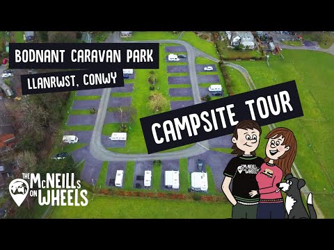
#Campsite Tour – Bodnant #Caravan Park, The #Conwy Valley, North Wales, #Snowdonia | #Llanrwst CC
Chapters 0:18 - Arrival at Bodnant Caravan & Camping Site & Aerial Overview 1:03 – Overview and description of site 2:05 ...

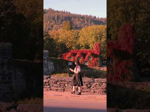
Oh Autumn! How I’ve missed you 🥰
We've been on a little road trip around Wales and I couldn't resist visiting this beauty at the crack of dawn as the mist still lingered ...
Nearby Amenities
Located within 500m of 53.128615,-3.8035405Have you been to Coed Carreg-y-gwalch?
Leave your review of Coed Carreg-y-gwalch below (or comments, questions and feedback).