Coed Pen-lan

Wood, Forest in Montgomeryshire

Wales

Coed Pen-lan

Forestry road in Dovey Forest Signage is for the 2021 Roger Albert Clark rally.
Forestry road in Dovey Forest Credit: Steven Brown

The requested URL returned error: 429 Too Many Requests

If you have any feedback on the listing, please let us know in the comments section below.
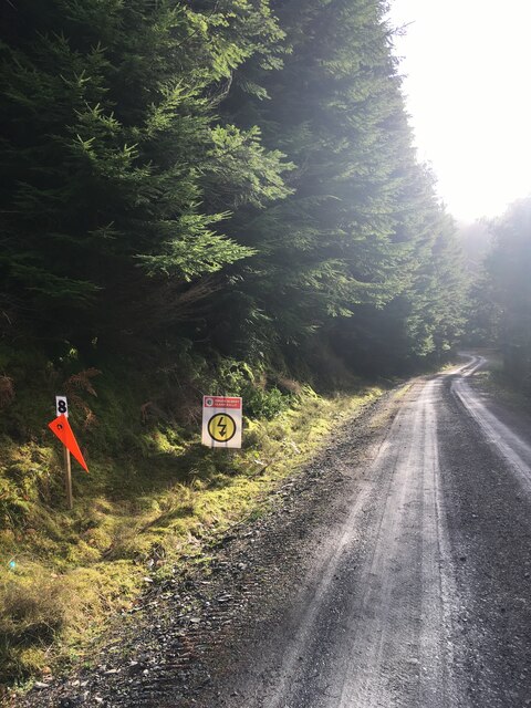
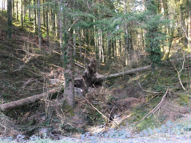
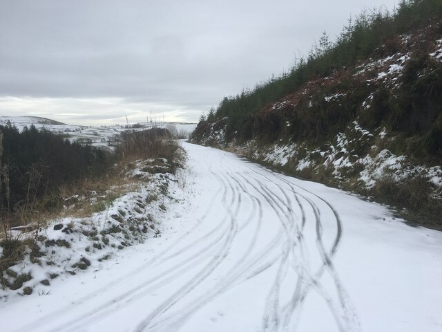
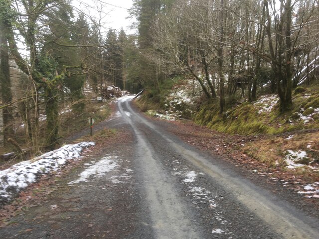
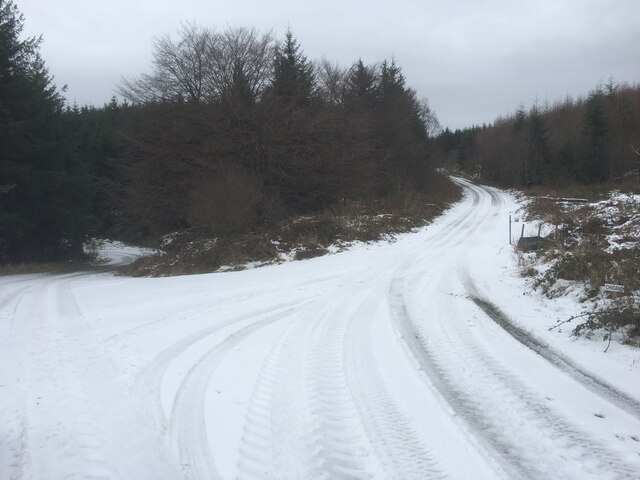
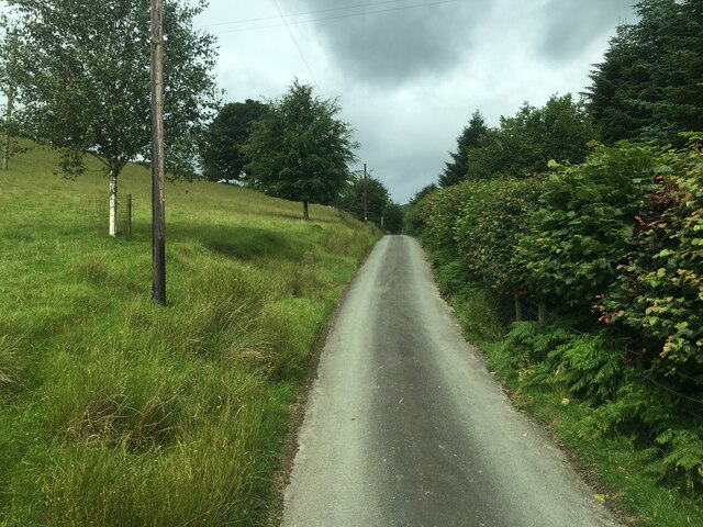
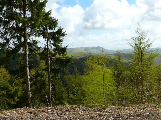
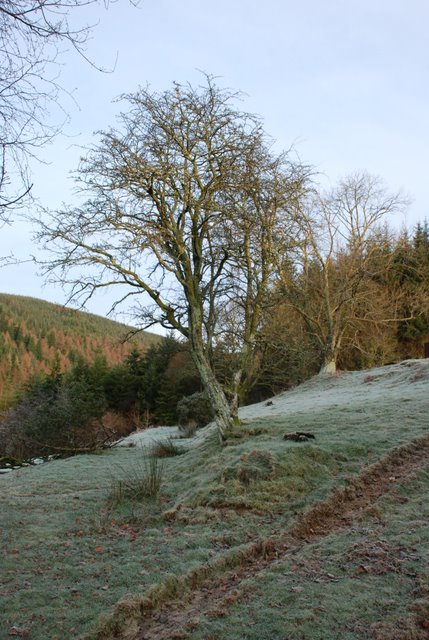
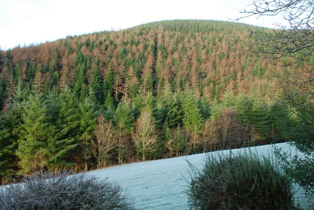
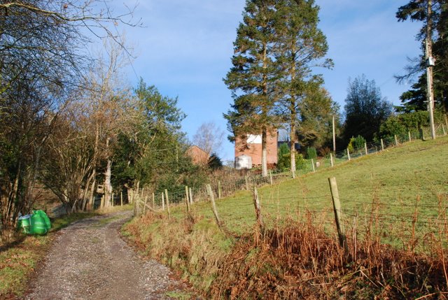
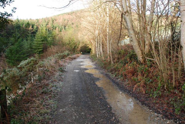
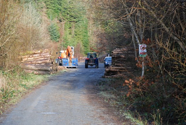
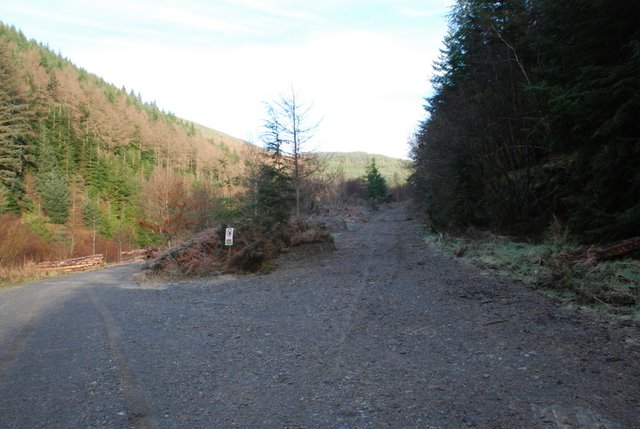
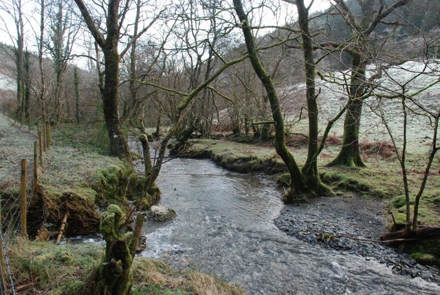
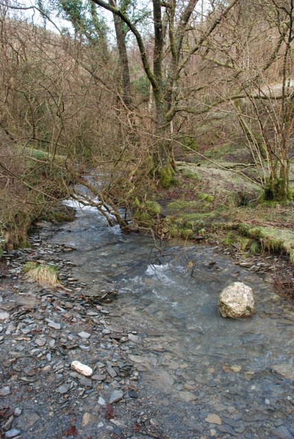
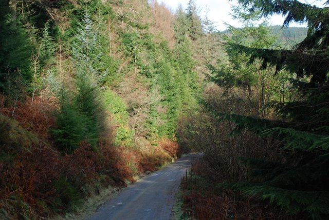
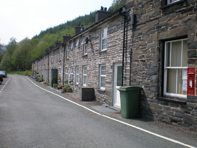
Coed Pen-lan Images

Images are sourced within 2km of 52.652168/-3.7900291 or Grid Reference SH7907. Thanks to Geograph Open Source API. All images are credited.

Forestry road in Dovey Forest Signage is for the 2021 Roger Albert Clark rally.
Forestry road in Dovey Forest
Signage is for the 2021 Roger Albert Clark rally.
Forestry, Dyfi Forest
Forestry road in the Dyfi Forest
Forestry road near Penlan
Junction of forestry roads in the Dyfi Forest
Farm road near Caeadda
Talcen yr Allt Golygfa dros Cwm Nant y Nele / View over Cwm Nant y Nele
Talcen yr Allt
Golygfa dros Cwm Nant y Nele / View over Cwm Nant y Nele
Frosty trees in Cwm Nele View north from Nant-yr-Nele cottages, open fields and forestry beyond. Cold and frosty December morning, 2009.
Frosty trees in Cwm Nele
View north from Nant-yr-Nele cottages, open fields and forestry beyond. Cold and frosty December morning, 2009.
Talcen yr Allt from Nant-yr-Nele cottage A view of the forestry covering the slopes of Talcen-yr-Allt, from Nant-yr-Nele cottages. Below the field in the foreground is the stream that lends its name to the cottages.
Talcen yr Allt from Nant-yr-Nele cottage
A view of the forestry covering the slopes of Talcen-yr-Allt, from Nant-yr-Nele cottages. Below the field in the foreground is the stream that lends its name to the cottages.
Nant-yr-Nele cottages from the south A view of the lane approaching Nant-yr-Nele cottages - the only dwellings in Cwm Nele.
Nant-yr-Nele cottages from the south
A view of the lane approaching Nant-yr-Nele cottages - the only dwellings in Cwm Nele.
Forestry Road, Cwm Nele Forestry road, looking north west along Cwm Nele, below Nant-yr-Nele cottages. There are fields belonging to Glyn Ceirig farm on both sides and in the middle distance the road enters the forest.
Forestry Road, Cwm Nele
Forestry road, looking north west along Cwm Nele, below Nant-yr-Nele cottages. There are fields belonging to Glyn Ceirig farm on both sides and in the middle distance the road enters the forest.
Forestry operations, Cwm Nele Logging operations in the forest at Cwm Nele
Forestry operations, Cwm Nele
Logging operations in the forest at Cwm Nele
Forestry road junction, Cwm Nele Junction between two forestry roads in Cwm Nele. The left fork doubles back and climbs the slope of Talcen yr Allt, eventually leading to Esgairgeliog. The right fork climbs the eastern side of Cwm Nele, eventually passing over Bwlch Main and dropping into the valleys above Aberangell.
Forestry road junction, Cwm Nele
Junction between two forestry roads in Cwm Nele. The left fork doubles back and climbs the slope of Talcen yr Allt, eventually leading to Esgairgeliog. The right fork climbs the eastern side of Cwm Nele, eventually passing over Bwlch Main and dropping into the valleys above Aberangell.
Afon Ceirig at the confluence with Nant-yr-Nele The small Nant-yr-Nele stream coming in from the left, joins the larger Afon Ceirig river.
Afon Ceirig at the confluence with Nant-yr-Nele
The small Nant-yr-Nele stream coming in from the left, joins the larger Afon Ceirig river.
Afon Ceirig The Afon Ceirig, looking west from the point where Nant-yr-Nele flows into the river.
Afon Ceirig
The Afon Ceirig, looking west from the point where Nant-yr-Nele flows into the river.
Ford across the Nant-yr-Nele This is the Nant-yr-Nele where it flows into the Afon Ceirig. There is a shallow ford here on a well established bridleway
Ford across the Nant-yr-Nele
This is the Nant-yr-Nele where it flows into the Afon Ceirig. There is a shallow ford here on a well established bridleway
Bridleway up Taren yr Allt This is looking up the steep bridleway that climbs the side of Taren yr Allt through the forest from the ford of Nant-yr-Nele
Bridleway up Taren yr Allt
This is looking up the steep bridleway that climbs the side of Taren yr Allt through the forest from the ford of Nant-yr-Nele
Forestry road, slopes of Taren yr Allt Looking northwards along Cwm Nele on the slopes of Taren yr Allt. This is one of the main forestry roads in the area. Behind the photographer, it continues westward to Esgairgeliog.
Forestry road, slopes of Taren yr Allt
Looking northwards along Cwm Nele on the slopes of Taren yr Allt. This is one of the main forestry roads in the area. Behind the photographer, it continues westward to Esgairgeliog.
Show me another place!

Coed Pen-lan is located at Grid Ref: SH7907 (Lat: 52.652168, Lng: -3.7900291)

Unitary Authority: Powys

Police Authority: Dyfed Powys

What 3 Words

///splinters.galaxy.earplugs. Near Corris, Gwynedd

Related Wikis

Garneddwen

Garneddwen (also known as Garnedd-Wen; English: white cairn) is a hamlet in the south of the county of Gwynedd, Wales. It lies in the historic county of...

Aberllefenni

Aberllefenni is a village in the south of Gwynedd, Wales. It lies in the historic county of Merionethshire/Sir Feirionnydd, in the valley of the Afon Dulas...

Cwm Hengae

Cwm Hengae is a valley that runs roughly north-west from the village of Aberllefenni in Wales. The Afon Llefenni river runs along the valley and several...

Nant Ceiswyn

The Nant Ceiswyn (sometimes known as the Afon Ceiswyn) is a small river in Mid Wales. It flows from the northern flank of Mynydd Dolgoed down to Pont Cymerau...

Nearby Amenities

Located within 500m of 52.652168,-3.7900291
Turning Circle
Lat/Long: 52.648987/-3.7867322
The data included in this document is from www.openstreetmap.org. The data is made available under ODbL.

Have you been to Coed Pen-lan?

Leave your review of Coed Pen-lan below (or comments, questions and feedback).