Burton

Settlement in Denbighshire

Wales

Burton

Arable field, Cam-yr-Alyn Marker post on the A483 in the foreground.
Arable field, Cam-yr-Alyn Credit: Richard Webb

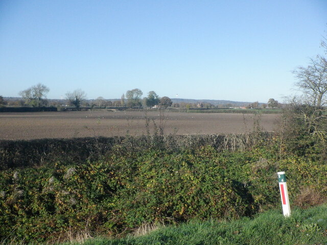
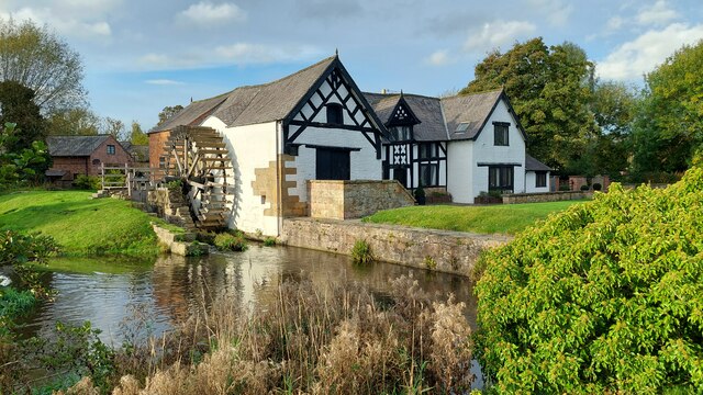
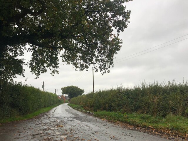
Burton is a small village located in Denbighshire, Wales. It is situated near the River Dee and is surrounded by picturesque countryside, making it an ideal location for those who enjoy outdoor activities such as hiking and fishing.

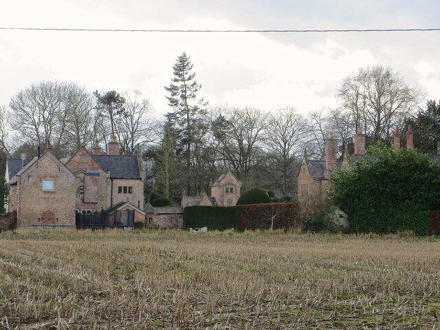
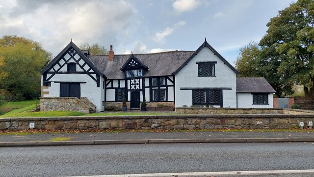
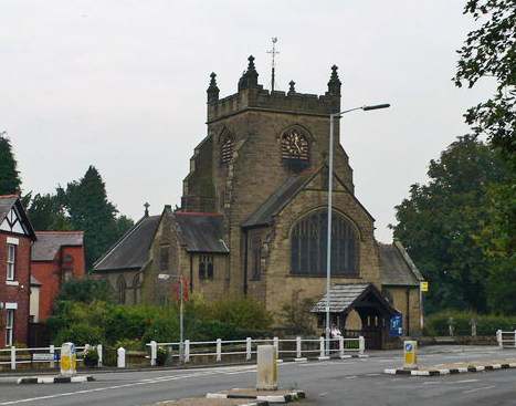
The village has a rich history, with several historic buildings and landmarks, including St. Mathew's Church which dates back to the 13th century. The village also has a strong sense of community, with a local pub, community center, and primary school providing essential services to residents.

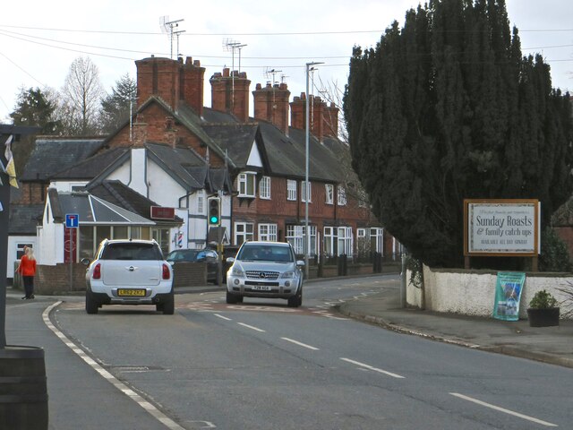
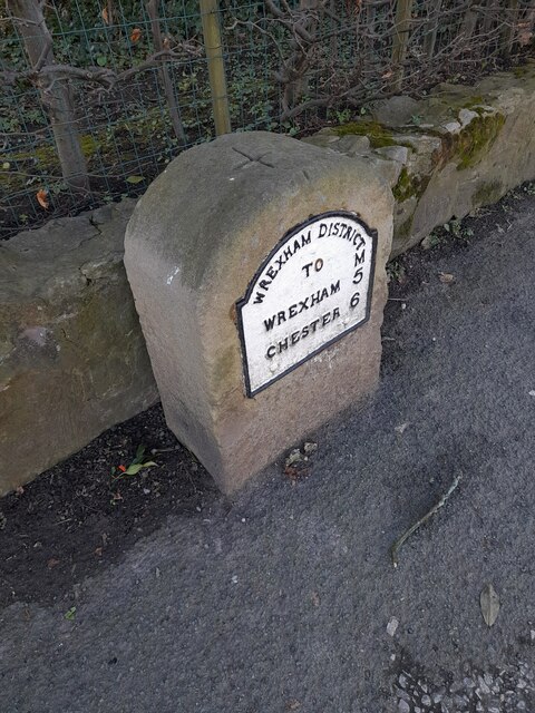
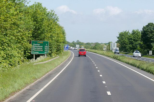
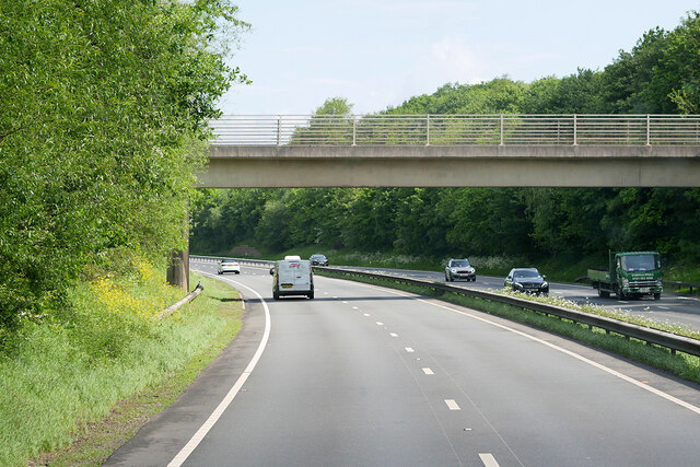
Burton is well-connected to nearby towns and cities, with good transportation links including buses and a nearby railway station. The village is also located just a short drive away from the popular tourist destination of Llangollen, which offers a range of shops, restaurants, and attractions for visitors to enjoy.

Overall, Burton is a charming village with a strong sense of community and a beautiful natural setting, making it a desirable place to live or visit in Denbighshire.

If you have any feedback on the listing, please let us know in the comments section below.
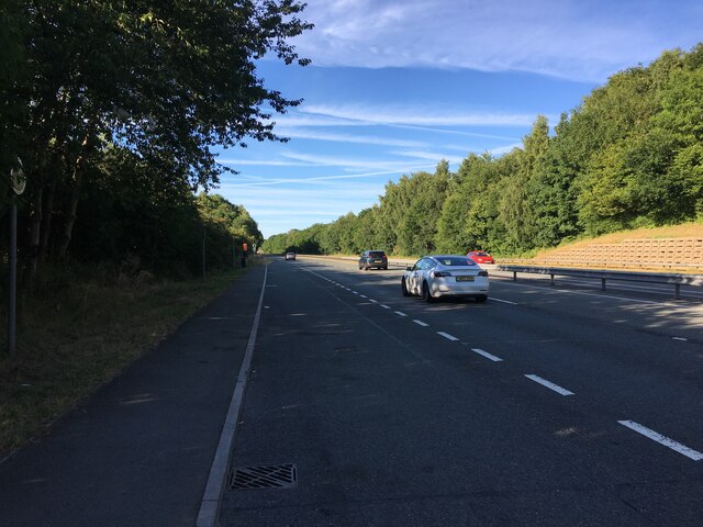
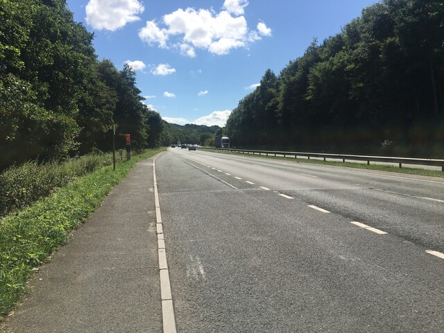
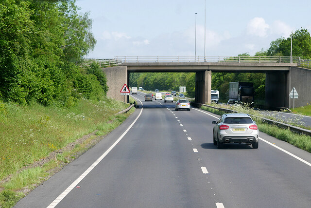
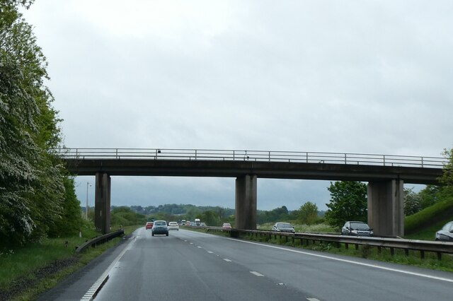
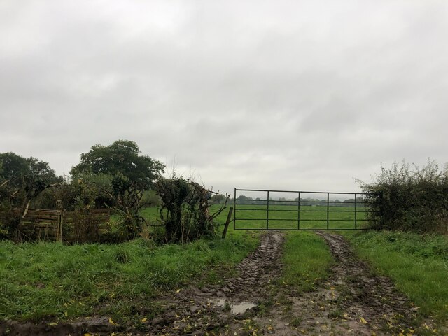
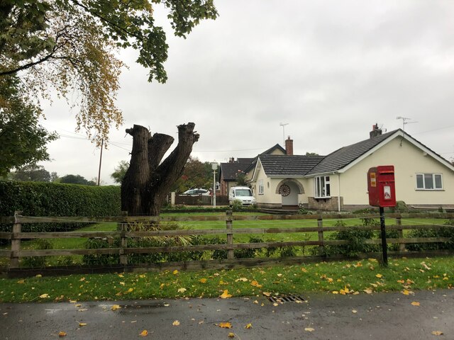
Burton Images

Images are sourced within 2km of 53.10834/-2.963488 or Grid Reference SJ3557. Thanks to Geograph Open Source API. All images are credited.

Arable field, Cam-yr-Alyn Marker post on the A483 in the foreground.
Arable field, Cam-yr-Alyn
Marker post on the A483 in the foreground.
Trevalyn Hall On the edge of Rossett; built in 1576.
Trevalyn Hall
On the edge of Rossett; built in 1576.
The Old Chester Road through Rossett
Ordnance Survey Cut Mark This OS cut mark can be found on the Chapel SE side of the road. It marks a point 15.517m above mean sea level.
Ordnance Survey Cut Mark
This OS cut mark can be found on the Chapel SE side of the road. It marks a point 15.517m above mean sea level.
Milestone - Wrexham 5
Lay-by on the A483 between Wrexham and Chester
Lay-by on the A483
Lay-by on the A483
Lay-by on the A483 towards Wrexham
The front of Rossett Mill Built in 1661, this mill is on the River Alyn, opposite Marford Mill. The Mill Wheel is on the left hand side.
The front of Rossett Mill
Built in 1661, this mill is on the River Alyn, opposite Marford Mill. The Mill Wheel is on the left hand side.
Rossett Mill Built in 1661, opposite Marford Mill, on the River Alyn.
Rossett Mill
Built in 1661, opposite Marford Mill, on the River Alyn.
Marford Mill Marford Mill is situated opposite Rossett Mill on the River Alyn (in Rossett). Today it is the HQ of the British Association For Shooting & Conservation.
Marford Mill
Marford Mill is situated opposite Rossett Mill on the River Alyn (in Rossett). Today it is the HQ of the British Association For Shooting & Conservation.
Northbound A483 near Marford
Bridge over the A483 near Marford The A483 is a major north-south trunk road in Wales, running for 149 miles between Chester and Junction 42 of the M4 motorway just east of Swansea.
<span class="nowrap"><a title="http://www.sabre-roads.org.uk/wiki/index.php?title=A483" rel="nofollow ugc noopener" href="http://www.sabre-roads.org.uk/wiki/index.php?title=A483">Link</a><img style="margin-left:2px;" alt="External link" title="External link - shift click to open in new window" src="https://s1.geograph.org.uk/img/external.png" width="10" height="10"/></span>  SABRE
<span class="nowrap"><a title="https://en.wikipedia.org/wiki/A483_road" rel="nofollow ugc noopener" href="https://en.wikipedia.org/wiki/A483_road">Link</a><img style="margin-left:2px;" alt="External link" title="External link - shift click to open in new window" src="https://s1.geograph.org.uk/img/external.png" width="10" height="10"/></span>  Wikipedia
Bridge over the A483 near Marford
The A483 is a major north-south trunk road in Wales, running for 149 miles between Chester and Junction 42 of the M4 motorway just east of Swansea. LinkExternal link SABRE LinkExternal link Wikipedia
Bridge over the A483 at Rossett Interchange (Marford) The A483 is a major north-south trunk road in Wales, running for 149 miles between Chester and Junction 42 of the M4 motorway just east of Swansea.
<span class="nowrap"><a title="http://www.sabre-roads.org.uk/wiki/index.php?title=A483" rel="nofollow ugc noopener" href="http://www.sabre-roads.org.uk/wiki/index.php?title=A483">Link</a><img style="margin-left:2px;" alt="External link" title="External link - shift click to open in new window" src="https://s1.geograph.org.uk/img/external.png" width="10" height="10"/></span>  SABRE
<span class="nowrap"><a title="https://en.wikipedia.org/wiki/A483_road" rel="nofollow ugc noopener" href="https://en.wikipedia.org/wiki/A483_road">Link</a><img style="margin-left:2px;" alt="External link" title="External link - shift click to open in new window" src="https://s1.geograph.org.uk/img/external.png" width="10" height="10"/></span>  Wikipedia
Bridge over the A483 at Rossett Interchange (Marford)
The A483 is a major north-south trunk road in Wales, running for 149 miles between Chester and Junction 42 of the M4 motorway just east of Swansea. LinkExternal link SABRE LinkExternal link Wikipedia
Bridge over A483 at Broadoak
Muddy field entrance
Bungalow at Burton Green At the junction of Stringer's Lane and Cobblers Lane
Bungalow at Burton Green
At the junction of Stringer's Lane and Cobblers Lane
Cobblers Lane Heading west towards Caergwrle
Cobblers Lane
Heading west towards Caergwrle
Show me another place!

Burton is located at Grid Ref: SJ3557 (Lat: 53.10834, Lng: -2.963488)

Unitary Authority: Wrexham

Police Authority: North Wales

What 3 Words

///joys.imported.swooned. Near Rossett, Wrexham

Nearby Locations

Greenfields Burton

Related Wikis

Burton, Wrexham

Burton (Welsh: Bwrton; ) is a village in the community of Rossett in Wrexham County Borough, Wales. The hamlet of Burton Green is a separate settlement...

Rossett railway station

Rossett was a minor railway station located on the Great Western Railway's Paddington to Birkenhead line several miles north of Wrexham in Wales. The route...

Presbyterian Chapel, Rossett

The Presbyterian Chapel, Rossett, is on Station Road, in Rossett, Wrexham County Borough, Wales. It continues to be active as a Welsh Presbyterian church...

Christ Church, Rossett

Christ Church is a church of the Church in Wales, situated in Rossett, Wrexham County Borough, Wales. It is designated by Cadw as a Grade II listed building...

Related Videos

Camping with Cassi. Ep1

First installment of our new YouTube series, new intro needs a little correction and this one wasn't a practised video just decided ...

MARFORD QUARRY NEAR WREXHAM

MARFORD QUARRY NATURE RESERVE NEAR WREXHAM, A TOUR ROUND WITH SOME INFORMATION WALKS IN ...

Rossett To Pulford

Wales Into England.

Progress with the walking from this weeks Neuro physiotherapy at TherapyMatters Chester, SAH

This is an unedited video from my Neuro physio last week I was that proud of what I had achieved I just had to post the video.

Nearby Amenities

Located within 500m of 53.10834,-2.963488
Burton
Name Cy: Burton
Name En: Burton
Name Lt: Bertonas
Place: village
Wikidata: Q5000785
Wikipedia: en:Burton, Wrexham
Lat/Long: 53.1104634/-2.9615762
Direction: SE
Generator Method: photovoltaic
Generator Output Electricity: yes
Generator Solar Modules: 12
Generator Source: solar
Generator Type: solar_photovoltaic_panel
Location: roof
Power: generator
Lat/Long: 53.1102273/-2.961059
Direction: SE
Generator Method: photovoltaic
Generator Output Electricity: yes
Generator Solar Modules: 12
Generator Source: solar
Generator Type: solar_photovoltaic_panel
Location: roof
Power: generator
Lat/Long: 53.1101682/-2.9611579
Direction: SE
Generator Method: photovoltaic
Generator Output Electricity: yes
Generator Solar Modules: 12
Generator Source: solar
Generator Type: solar_photovoltaic_panel
Location: roof
Power: generator
Lat/Long: 53.1101172/-2.9612433
Direction: SE
Generator Method: photovoltaic
Generator Output Electricity: yes
Generator Solar Modules: 12
Generator Source: solar
Generator Type: solar_photovoltaic_panel
Location: roof
Power: generator
Lat/Long: 53.1100856/-2.9612961
Direction: 145
Generator Method: photovoltaic
Generator Output Electricity: yes
Generator Solar Modules: 16
Generator Source: solar
Generator Type: solar_photovoltaic_panel
Location: roof
Power: generator
Lat/Long: 53.1108761/-2.9624737
Direction: 235
Generator Method: photovoltaic
Generator Output Electricity: yes
Generator Solar Modules: 16
Generator Source: solar
Generator Type: solar_photovoltaic_panel
Location: roof
Power: generator
Lat/Long: 53.1099261/-2.9623738
Direction: SE
Generator Method: photovoltaic
Generator Output Electricity: yes
Generator Solar Modules: 10
Generator Source: solar
Generator Type: solar_photovoltaic_panel
Location: roof
Power: generator
Lat/Long: 53.1115886/-2.9625434
Direction: SE
Generator Method: photovoltaic
Generator Output Electricity: yes
Generator Solar Modules: 11
Generator Source: solar
Generator Type: solar_photovoltaic_panel
Location: roof
Power: generator
Lat/Long: 53.1100392/-2.9613814
Post Box
Post Box Type: wall
Royal Cypher: EIIR
Royal Cypher Wikidata: Q33102113
Lat/Long: 53.1122147/-2.962159
Man Made: surveillance
Surveillance Type: camera
Lat/Long: 53.1082035/-2.957574
The data included in this document is from www.openstreetmap.org. The data is made available under ODbL.

Have you been to Burton?

Leave your review of Burton below (or comments, questions and feedback).