Burton
Settlement in Cheshire
England
Burton
The requested URL returned error: 429 Too Many Requests
If you have any feedback on the listing, please let us know in the comments section below.
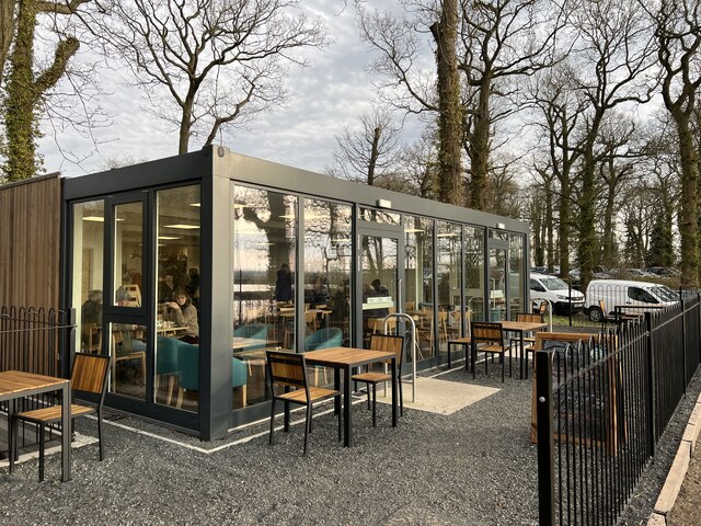
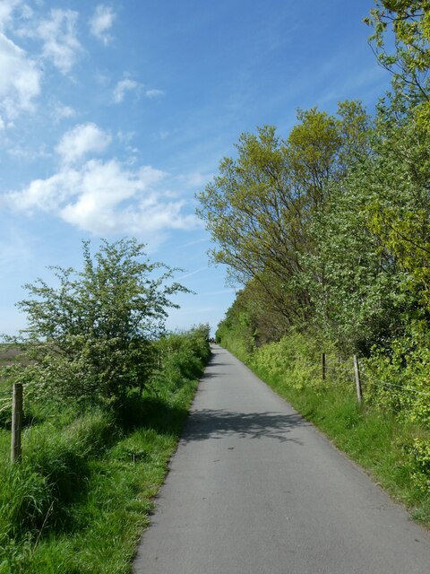
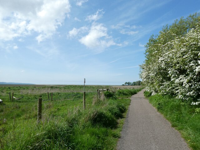
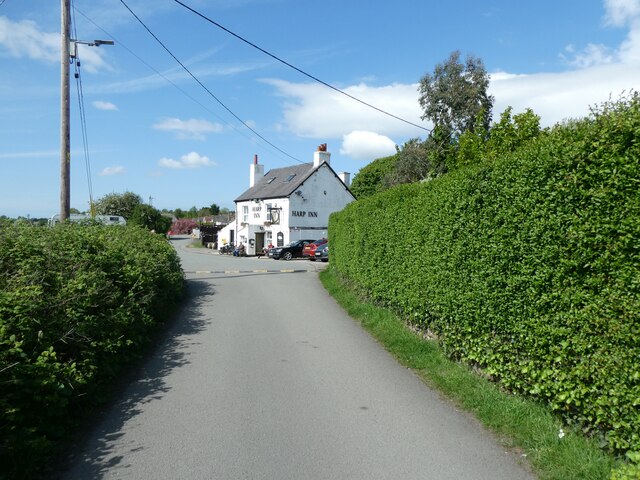
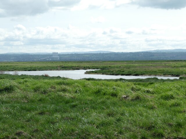
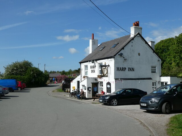
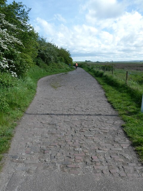
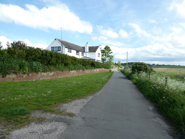
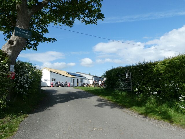
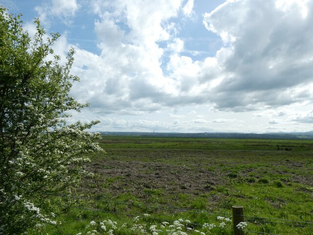
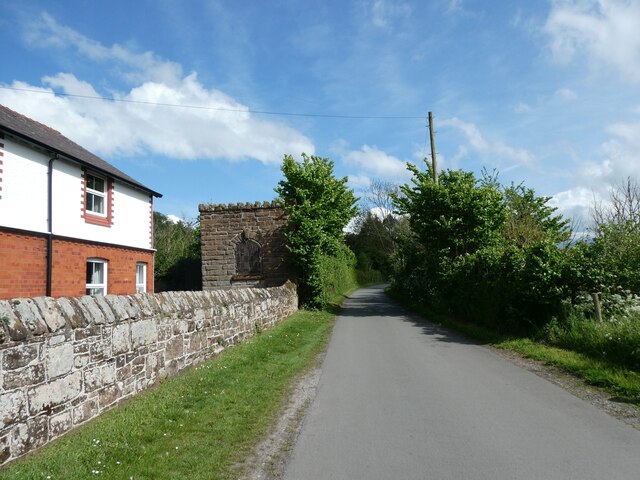
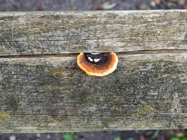
Burton Images
Images are sourced within 2km of 53.269578/-3.0401963 or Grid Reference SJ3075. Thanks to Geograph Open Source API. All images are credited.


Burton is located at Grid Ref: SJ3075 (Lat: 53.269578, Lng: -3.0401963)
Unitary Authority: Cheshire West and Chester
Police Authority: Cheshire
What 3 Words
///crank.declines.counts. Near Neston, Cheshire
Nearby Locations
Related Wikis
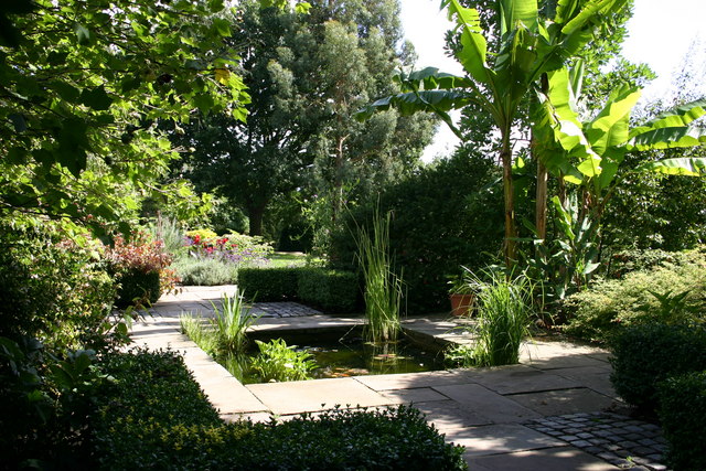
Ness Botanic Gardens
Ness Botanic Gardens are at Ness, Cheshire in the Wirral Peninsula. This is near the cities of Liverpool and Chester and close to the English-Welsh border...

Ness, Cheshire
Ness is a village on the Wirral Peninsula, in the part that remains in the ceremonial county of Cheshire, England. It is situated near to the town of Neston...

Burton Point railway station
Burton Point railway station was located on the northern side of Station Road, at Burton, Cheshire, England. The station opened on 1 August 1899 on the...

Burton Mere Wetlands
Burton Mere Wetlands (grid reference SJ304744) is a nature reserve on the Dee Estuary straddling the border between Cheshire, England and Flintshire, Wales...
Related Videos

Dee Marshes cycle link busy with bank holiday cyclists.
Deeside Industrial Park, Burton and Neston Dee Marshes cycle and walkers link .Sustrans, Cheshire West and Chester Council ...

Photographing wild birds at RSPB Burton Mere with my Nikon Z8
Come along with me as I take my Nikon Z8 to RSPB Burton Mere for some amazing bird photography. Watch as I capture shots of ...
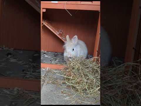
The Warren | This cutie loved relaxing in his holiday home | Hazel's Hideout
This cutie loved exploring and relaxing in his holiday home. It was lovely to see him so chilled in his new surroundings ♥️.

Little Neston walk
Created with the #GoPro App on my iPad.
Nearby Amenities
Located within 500m of 53.269578,-3.0401963Have you been to Burton?
Leave your review of Burton below (or comments, questions and feedback).