Greenfields

Settlement in Denbighshire

Wales

Greenfields

Arable field, Cam-yr-Alyn Marker post on the A483 in the foreground.
Arable field, Cam-yr-Alyn Credit: Richard Webb

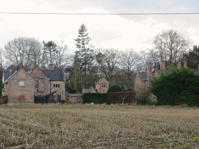
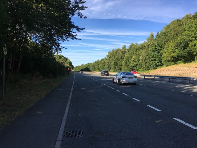
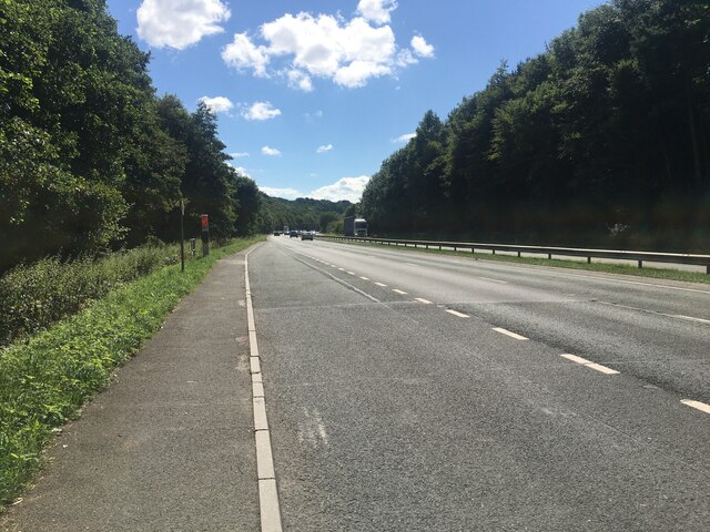
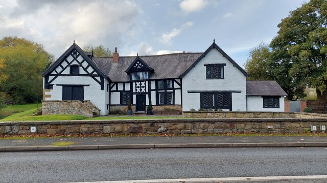
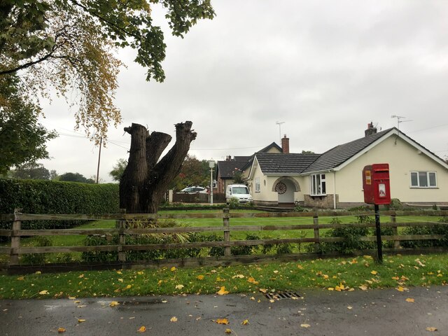
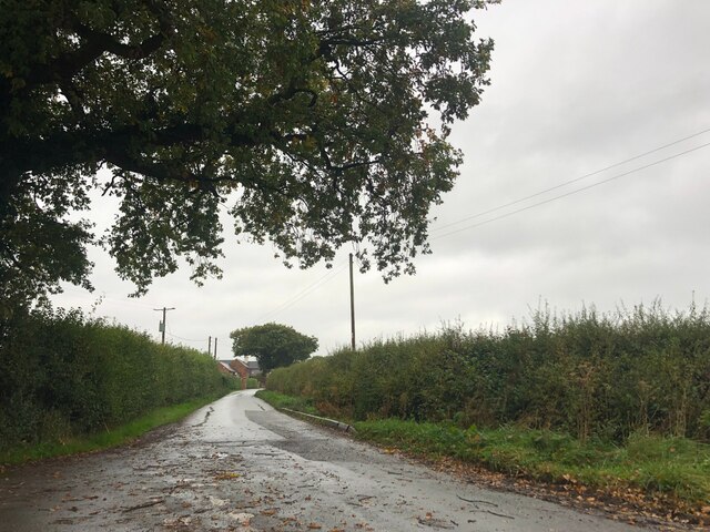
Greenfields is a small residential area located in Denbighshire, Wales. It is situated on the outskirts of the town of Rhyl, in close proximity to the A548 road which provides easy access to surrounding areas. The neighborhood is characterized by a mix of detached and semi-detached houses, as well as a few apartment complexes.

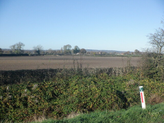
Greenfields is known for its peaceful and family-friendly atmosphere, making it a popular choice for those looking to settle down in a quiet and safe environment. The area is surrounded by green spaces and parks, providing residents with ample opportunities for outdoor activities and leisurely walks.

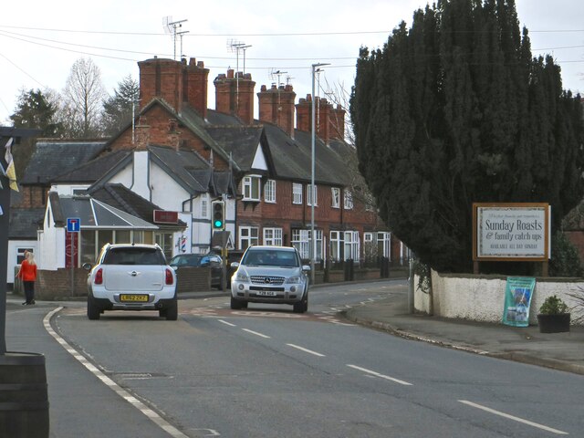
In terms of amenities, Greenfields has a few local shops and services within walking distance, with larger supermarkets and retail outlets just a short drive away in Rhyl. There are also good schools in the area, making it an ideal location for families with children.

Overall, Greenfields offers a relaxed and tranquil living environment, with easy access to essential amenities and recreational facilities, making it a desirable place to call home in Denbighshire.

If you have any feedback on the listing, please let us know in the comments section below.
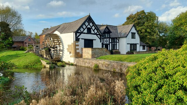
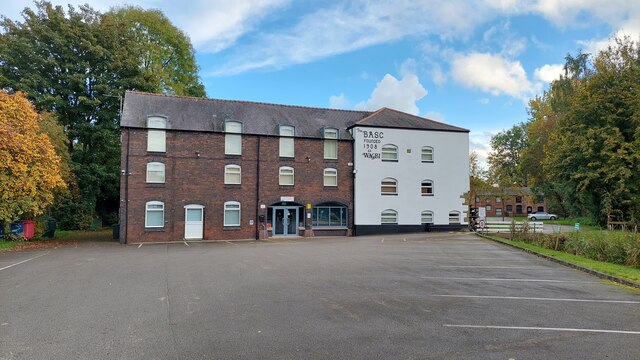
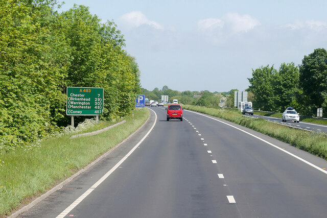
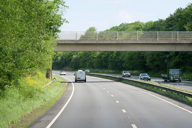
Greenfields Images

Images are sourced within 2km of 53.109855/-2.9722934 or Grid Reference SJ3557. Thanks to Geograph Open Source API. All images are credited.

Arable field, Cam-yr-Alyn Marker post on the A483 in the foreground.
Arable field, Cam-yr-Alyn
Marker post on the A483 in the foreground.
Trevalyn Hall On the edge of Rossett; built in 1576.
Trevalyn Hall
On the edge of Rossett; built in 1576.
The Old Chester Road through Rossett
Ordnance Survey Cut Mark This OS cut mark can be found on the Chapel SE side of the road. It marks a point 15.517m above mean sea level.
Ordnance Survey Cut Mark
This OS cut mark can be found on the Chapel SE side of the road. It marks a point 15.517m above mean sea level.
Milestone - Wrexham 5
Lay-by on the A483 between Wrexham and Chester
Lay-by on the A483
Lay-by on the A483
Lay-by on the A483 towards Wrexham
The front of Rossett Mill Built in 1661, this mill is on the River Alyn, opposite Marford Mill. The Mill Wheel is on the left hand side.
The front of Rossett Mill
Built in 1661, this mill is on the River Alyn, opposite Marford Mill. The Mill Wheel is on the left hand side.
Rossett Mill Built in 1661, opposite Marford Mill, on the River Alyn.
Rossett Mill
Built in 1661, opposite Marford Mill, on the River Alyn.
Marford Mill Marford Mill is situated opposite Rossett Mill on the River Alyn (in Rossett). Today it is the HQ of the British Association For Shooting & Conservation.
Marford Mill
Marford Mill is situated opposite Rossett Mill on the River Alyn (in Rossett). Today it is the HQ of the British Association For Shooting & Conservation.
Northbound A483 near Marford
Bridge over the A483 near Marford The A483 is a major north-south trunk road in Wales, running for 149 miles between Chester and Junction 42 of the M4 motorway just east of Swansea.
<span class="nowrap"><a title="http://www.sabre-roads.org.uk/wiki/index.php?title=A483" rel="nofollow ugc noopener" href="http://www.sabre-roads.org.uk/wiki/index.php?title=A483">Link</a><img style="margin-left:2px;" alt="External link" title="External link - shift click to open in new window" src="https://s1.geograph.org.uk/img/external.png" width="10" height="10"/></span>  SABRE
<span class="nowrap"><a title="https://en.wikipedia.org/wiki/A483_road" rel="nofollow ugc noopener" href="https://en.wikipedia.org/wiki/A483_road">Link</a><img style="margin-left:2px;" alt="External link" title="External link - shift click to open in new window" src="https://s1.geograph.org.uk/img/external.png" width="10" height="10"/></span>  Wikipedia
Bridge over the A483 near Marford
The A483 is a major north-south trunk road in Wales, running for 149 miles between Chester and Junction 42 of the M4 motorway just east of Swansea. LinkExternal link SABRE LinkExternal link Wikipedia
Bridge over the A483 at Rossett Interchange (Marford) The A483 is a major north-south trunk road in Wales, running for 149 miles between Chester and Junction 42 of the M4 motorway just east of Swansea.
<span class="nowrap"><a title="http://www.sabre-roads.org.uk/wiki/index.php?title=A483" rel="nofollow ugc noopener" href="http://www.sabre-roads.org.uk/wiki/index.php?title=A483">Link</a><img style="margin-left:2px;" alt="External link" title="External link - shift click to open in new window" src="https://s1.geograph.org.uk/img/external.png" width="10" height="10"/></span>  SABRE
<span class="nowrap"><a title="https://en.wikipedia.org/wiki/A483_road" rel="nofollow ugc noopener" href="https://en.wikipedia.org/wiki/A483_road">Link</a><img style="margin-left:2px;" alt="External link" title="External link - shift click to open in new window" src="https://s1.geograph.org.uk/img/external.png" width="10" height="10"/></span>  Wikipedia
Bridge over the A483 at Rossett Interchange (Marford)
The A483 is a major north-south trunk road in Wales, running for 149 miles between Chester and Junction 42 of the M4 motorway just east of Swansea. LinkExternal link SABRE LinkExternal link Wikipedia
Bridge over A483 at Broadoak
Muddy field entrance
Bungalow at Burton Green At the junction of Stringer's Lane and Cobblers Lane
Bungalow at Burton Green
At the junction of Stringer's Lane and Cobblers Lane
Cobblers Lane Heading west towards Caergwrle
Cobblers Lane
Heading west towards Caergwrle
Show me another place!

Greenfields is located at Grid Ref: SJ3557 (Lat: 53.109855, Lng: -2.9722934)

Unitary Authority: Wrexham

Police Authority: North Wales

What 3 Words

///cutback.bronzed.linguists. Near Rossett, Wrexham

Nearby Locations

Burton Greenfields

Related Wikis

Burton, Wrexham

Burton (Welsh: Bwrton; ) is a village in the community of Rossett in Wrexham County Borough, Wales. The hamlet of Burton Green is a separate settlement...

Rossett railway station

Rossett was a minor railway station located on the Great Western Railway's Paddington to Birkenhead line several miles north of Wrexham in Wales. The route...

Chwarel Singret

Chwarel Singret is a Site of Special Scientific Interest in the preserved county of Clwyd, north Wales. == See also == List of Sites of Special Scientific...

Presbyterian Chapel, Rossett

The Presbyterian Chapel, Rossett, is on Station Road, in Rossett, Wrexham County Borough, Wales. It continues to be active as a Welsh Presbyterian church...

Nearby Amenities

Located within 500m of 53.109855,-2.9722934
Power: pole
Lat/Long: 53.1056303/-2.9748246
Power: pole
Lat/Long: 53.1060819/-2.9761957
Power: substation
Lat/Long: 53.109467/-2.971667
Direction: 215
Generator Method: photovoltaic
Generator Output Electricity: yes
Generator Solar Modules: 8
Generator Source: solar
Generator Type: solar_photovoltaic_panel
Location: roof
Power: generator
Lat/Long: 53.1109481/-2.9710239
The data included in this document is from www.openstreetmap.org. The data is made available under ODbL.

Have you been to Greenfields?

Leave your review of Greenfields below (or comments, questions and feedback).