Coed Cochion
Wood, Forest in Merionethshire
Wales
Coed Cochion

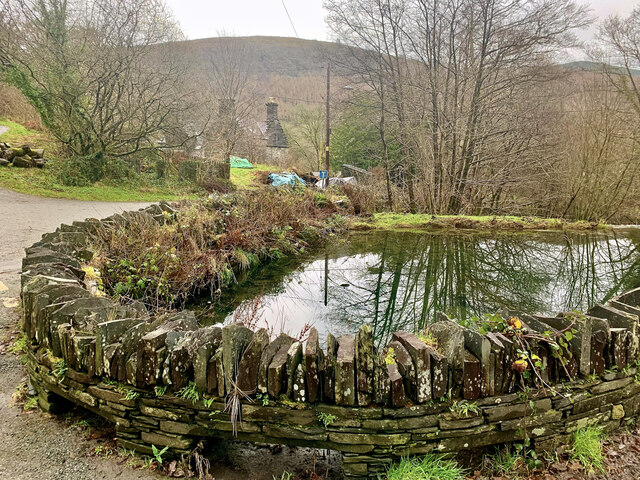
Coed Cochion, located in Merionethshire, Wales, is a picturesque woodland area known for its natural beauty and rich biodiversity. Covering an area of approximately 100 acres, this enchanting forest is a haven for nature enthusiasts and outdoor adventurers alike.
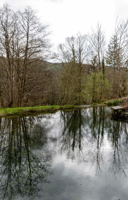
The woodland boasts a diverse range of tree species, including oak, birch, beech, and conifers, which create a stunning tapestry of colors throughout the year. The forest floor is adorned with a carpet of vibrant wildflowers, creating a delightful sight for visitors. The tranquil atmosphere of Coed Cochion makes it an idyllic location for those seeking peace and solitude.
The forest is home to numerous wildlife species, including red squirrels, badgers, foxes, and a variety of birds. Birdwatchers will find themselves immersed in a symphony of melodious chirping as they spot species such as woodpeckers, nuthatches, and thrushes. The forest also provides a perfect habitat for various butterflies, insects, and small mammals.
Coed Cochion offers a network of well-maintained footpaths and trails, allowing visitors to explore the woodland at their own pace. These paths wind through ancient trees, offering breathtaking views of the surrounding landscape. As visitors wander through the forest, they may come across hidden streams and small cascades, adding to the enchantment of the area.
The woodland is a popular destination for hikers, photographers, and nature lovers, who can engage in activities such as birdwatching, photography, and nature walks. With its serene ambiance and stunning natural beauty, Coed Cochion is a must-visit destination for anyone seeking to immerse themselves in the wonders of the Welsh countryside.
If you have any feedback on the listing, please let us know in the comments section below.
Coed Cochion Images
Images are sourced within 2km of 52.681532/-3.7947951 or Grid Reference SH7810. Thanks to Geograph Open Source API. All images are credited.


Coed Cochion is located at Grid Ref: SH7810 (Lat: 52.681532, Lng: -3.7947951)
Unitary Authority: Gwynedd
Police Authority: North Wales
What 3 Words
///slimmer.tucked.plenty. Near Corris, Gwynedd
Nearby Locations
Related Wikis

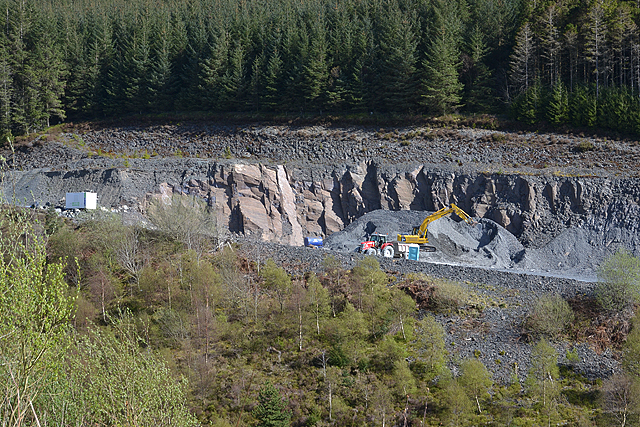
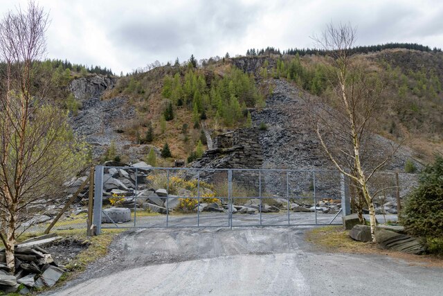
Ratgoed quarry
Ratgoed quarry (also known as Alltgoed quarry) was the northernmost of the slate quarries served by the Corris Railway. It is one mile north of Aberllefenni...
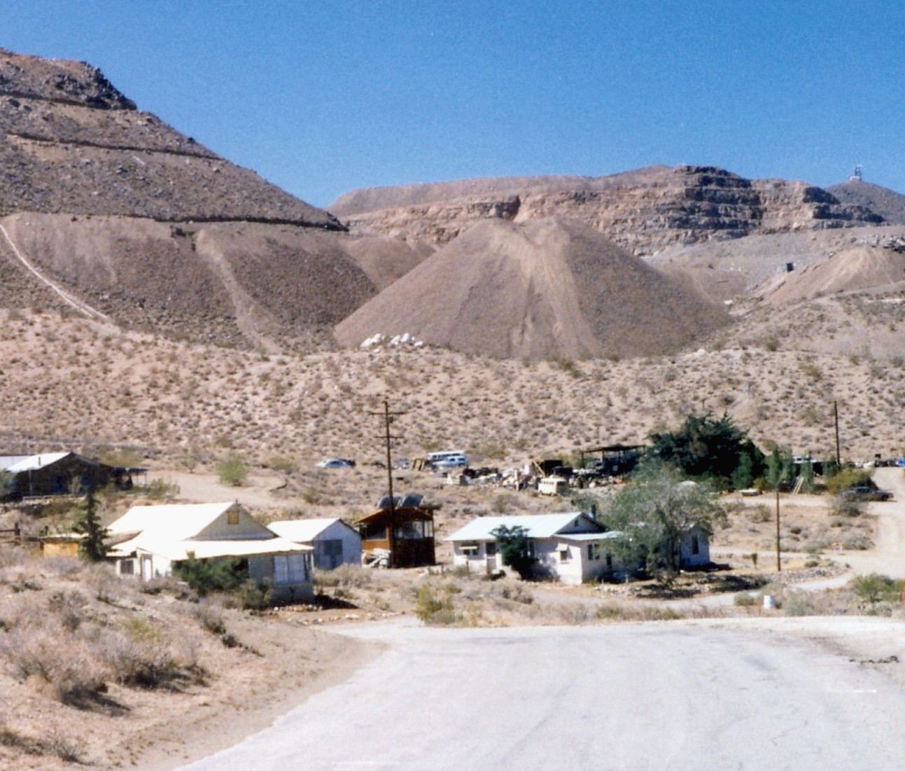
Yellow Aster Mine
Yellow Aster Mine was a large gold mine in Southern California. == Discovery == In 1894, prospectors Frederic Mooers and William Langdon ventured into...

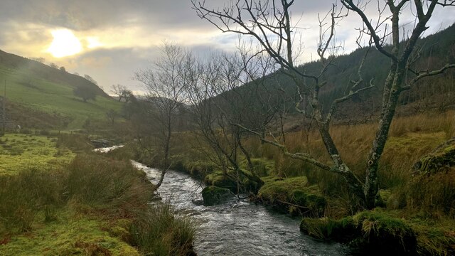
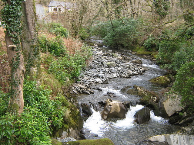
Nant Ceiswyn
The Nant Ceiswyn (sometimes known as the Afon Ceiswyn) is a small river in Mid Wales. It flows from the northern flank of Mynydd Dolgoed down to Pont Cymerau...
Nant Llwydiarth
The Nant Llwydiarth is a small river in Mid Wales. It flows from the southern flank of Mynydd Hendre-ddu down to Pont Cymerau, north-east of Aberllefenni...
Cymerau quarry
Cymerau quarry was a slate quarry served by the Ratgoed Tramway, a horse-worked section of the Corris Railway. It is located about half a mile north of...
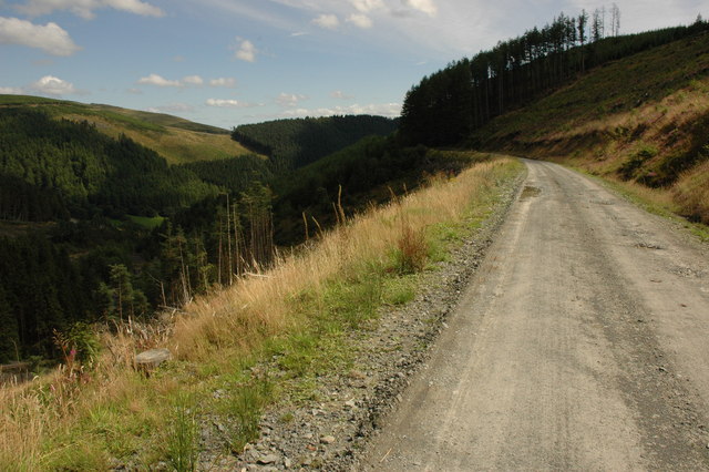
Mynydd Hendre-ddu
Mynydd Hendre-ddu or Mynydd Hendreddu is a mountain in southern Snowdonia, Wales. It is one of a line of mountains running from Mynydd Dolgoed in the north...
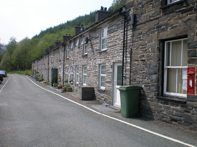
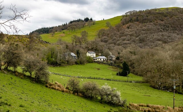
Aberllefenni
Aberllefenni is a village in the south of Gwynedd, Wales. It lies in the historic county of Merionethshire/Sir Feirionnydd, in the valley of the Afon Dulas...

Cwm Hengae
Cwm Hengae is a valley that runs roughly north-west from the village of Aberllefenni in Wales. The Afon Llefenni river runs along the valley and several...
Nearby Amenities
Located within 500m of 52.681532,-3.7947951Have you been to Coed Cochion?
Leave your review of Coed Cochion below (or comments, questions and feedback).