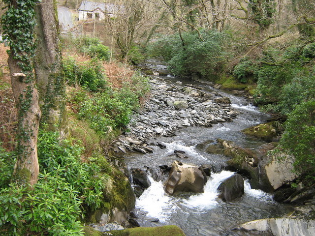
Coed Cwmcelli
Wood, Forest in Merionethshire
Wales
Coed Cwmcelli

The requested URL returned error: 429 Too Many Requests
If you have any feedback on the listing, please let us know in the comments section below.
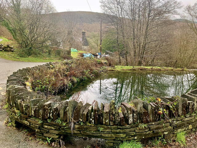
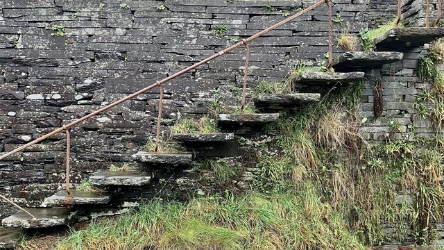
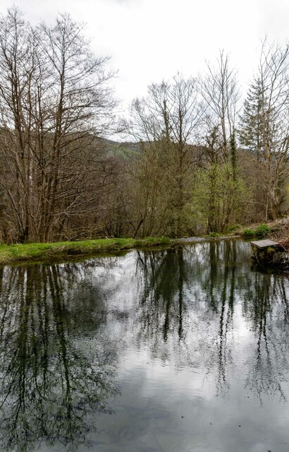
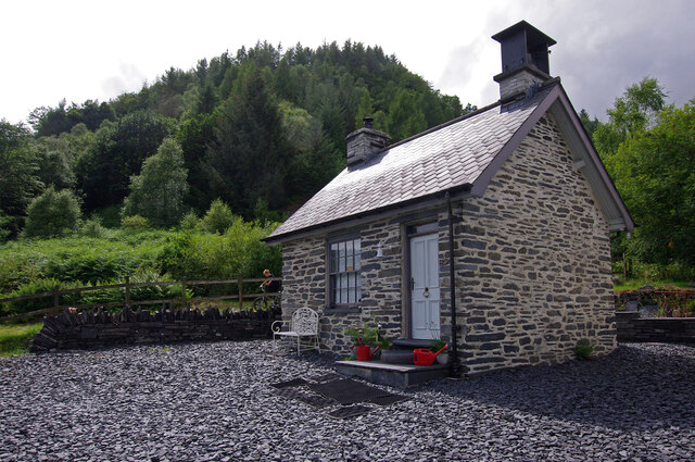
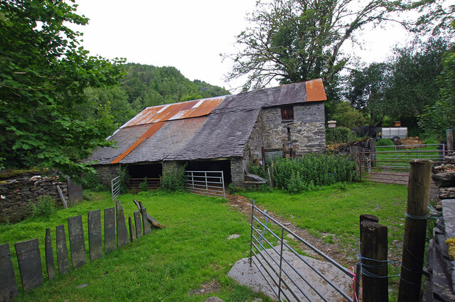
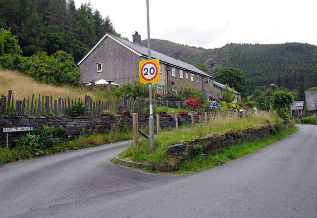
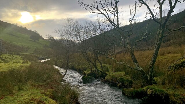
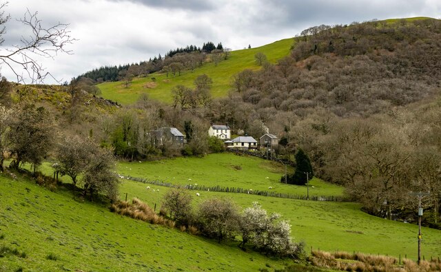
Coed Cwmcelli Images
Images are sourced within 2km of 52.677989/-3.7972237 or Grid Reference SH7810. Thanks to Geograph Open Source API. All images are credited.


Coed Cwmcelli is located at Grid Ref: SH7810 (Lat: 52.677989, Lng: -3.7972237)
Unitary Authority: Gwynedd
Police Authority: North Wales
What 3 Words
///tomorrow.lump.racetrack. Near Corris, Gwynedd
Nearby Locations
Related Wikis

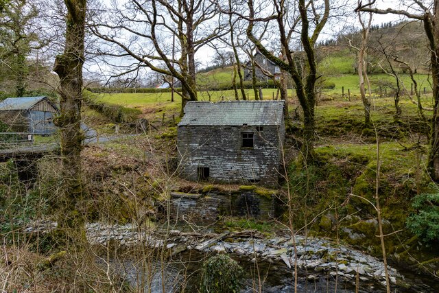
Nant Ceiswyn
The Nant Ceiswyn (sometimes known as the Afon Ceiswyn) is a small river in Mid Wales. It flows from the northern flank of Mynydd Dolgoed down to Pont Cymerau...
Nant Llwydiarth
The Nant Llwydiarth is a small river in Mid Wales. It flows from the southern flank of Mynydd Hendre-ddu down to Pont Cymerau, north-east of Aberllefenni...

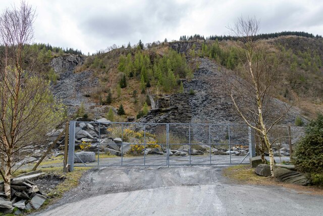
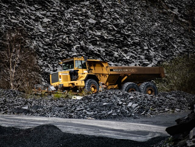
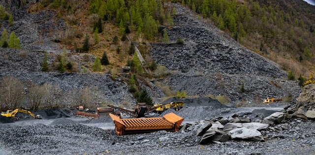
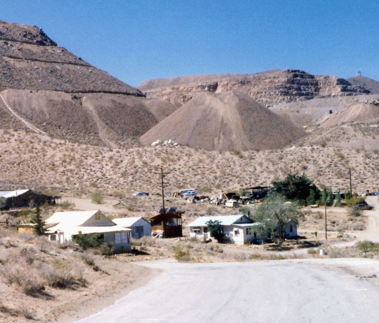
Ratgoed quarry
Ratgoed quarry (also known as Alltgoed quarry) was the northernmost of the slate quarries served by the Corris Railway. It is one mile north of Aberllefenni...
Yellow Aster Mine
Yellow Aster Mine was a large gold mine in Southern California. == Discovery == In 1894, prospectors Frederic Mooers and William Langdon ventured into...
Have you been to Coed Cwmcelli?
Leave your review of Coed Cwmcelli below (or comments, questions and feedback).