Coed Cefn-maenllwyd
Wood, Forest in Caernarfonshire
Wales
Coed Cefn-maenllwyd
Coed Cefn-maenllwyd is a picturesque woodland located in Caernarfonshire, Wales. Spanning an area of approximately 200 acres, this ancient forest is known for its diverse range of flora and fauna, making it a popular destination for nature enthusiasts and hikers.
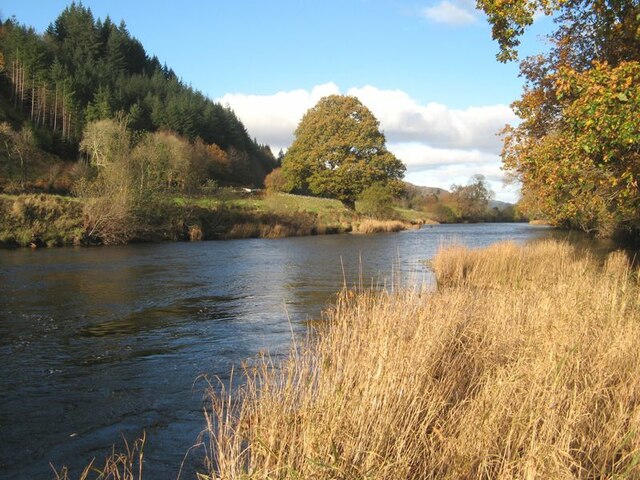
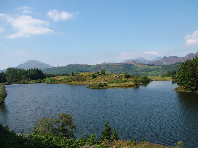
The woodland is predominantly composed of native broadleaf trees, including oak, beech, and ash, which create a dense canopy overhead. The forest floor is adorned with a variety of wildflowers, mosses, and ferns, adding to the enchanting ambiance of the area. The presence of a small stream meandering through the woods adds to the tranquility and beauty of the landscape.
Coed Cefn-maenllwyd is home to various species of wildlife, such as red squirrels, badgers, and a wide assortment of birds. Birdwatchers often visit the woodland to catch a glimpse of species like the tawny owl, woodpeckers, and nuthatches. The forest also provides a habitat for rare and protected species, including the lesser horseshoe bat.
The woodland offers an extensive network of well-maintained trails, allowing visitors to explore its beauty while enjoying peaceful walks or invigorating hikes. These paths vary in difficulty, catering to different fitness levels and preferences. The forest is also equipped with several picnic areas and benches, providing opportunities for visitors to relax and take in the stunning surroundings.
Coed Cefn-maenllwyd is a precious natural gem, offering a unique experience for those seeking solace in nature. Whether one is an avid hiker, a bird enthusiast, or simply looking to escape the hustle and bustle of everyday life, this woodland provides a serene and captivating environment to immerse oneself in the beauty of the Welsh countryside.
If you have any feedback on the listing, please let us know in the comments section below.
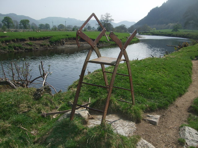
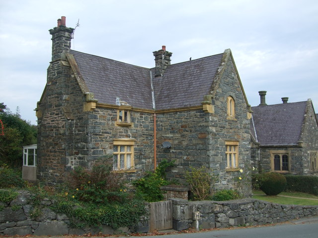
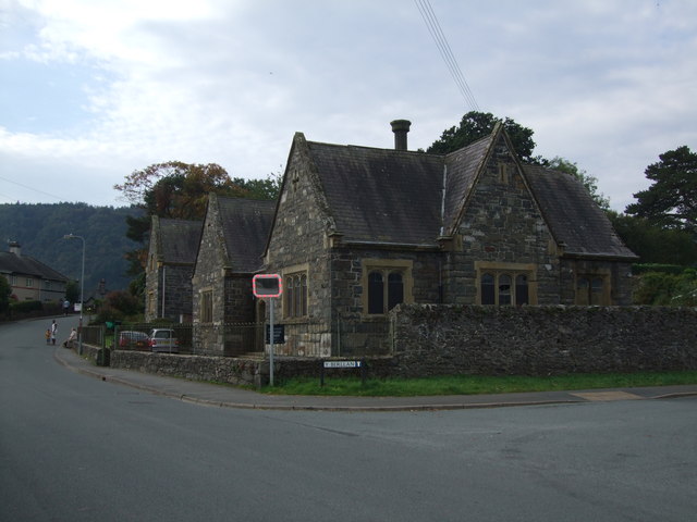
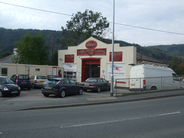
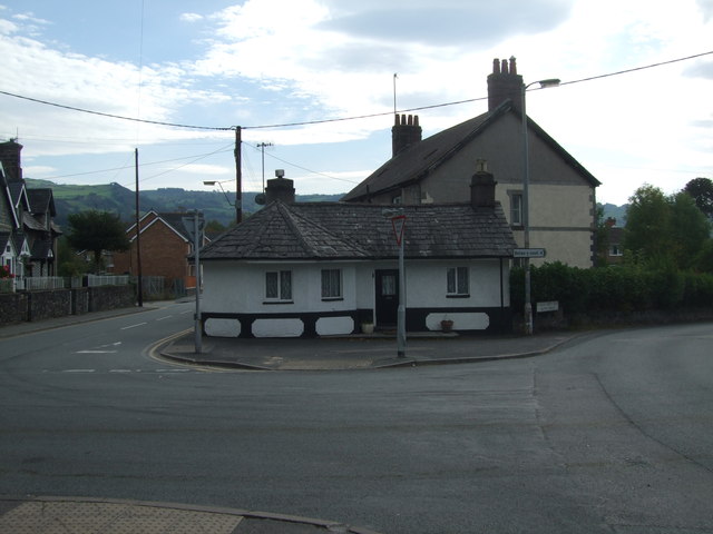
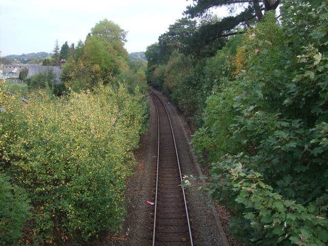
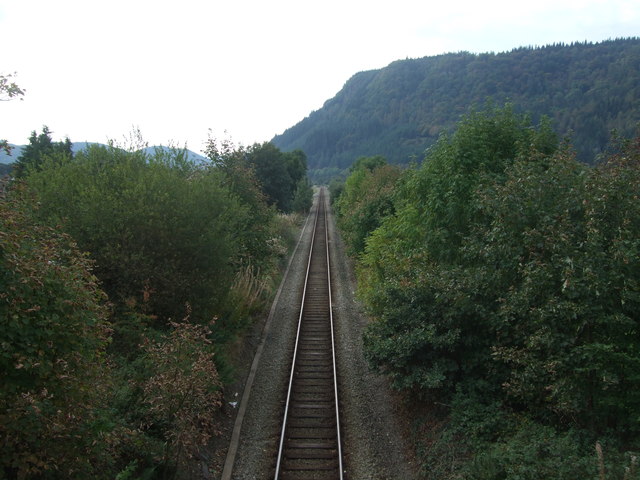
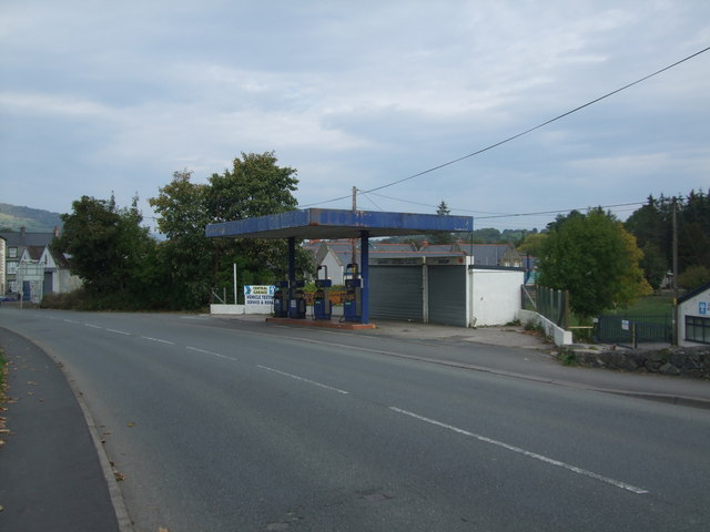
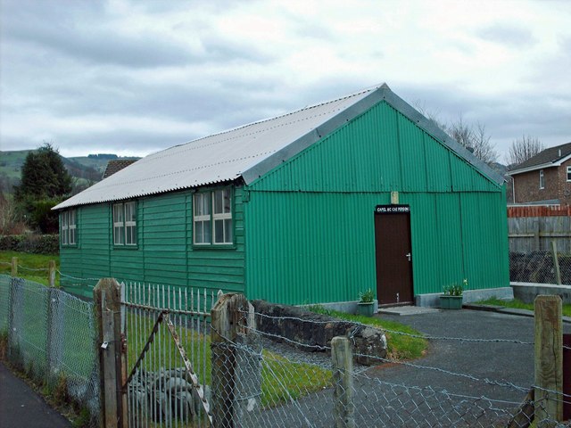
Coed Cefn-maenllwyd Images
Images are sourced within 2km of 53.129841/-3.8162672 or Grid Reference SH7860. Thanks to Geograph Open Source API. All images are credited.


Coed Cefn-maenllwyd is located at Grid Ref: SH7860 (Lat: 53.129841, Lng: -3.8162672)
Unitary Authority: Conwy
Police Authority: North Wales
What 3 Words
///puts.congratulations.unsettled. Near Llanrwst, Conwy
Nearby Locations
Related Wikis
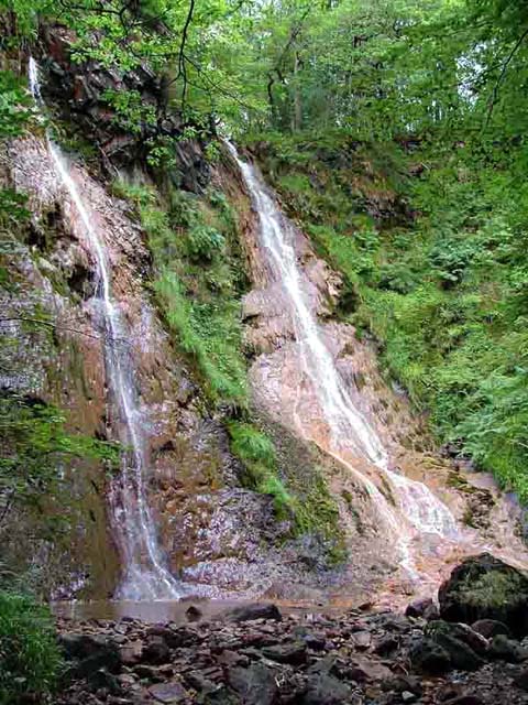
Grey Mare's Tail, Conwy
The Grey Mare's Tail (Welsh: Rhaeadr y Parc Mawr) is a waterfall on the very edge of the Snowdonia National Park near Gwydir Castle in the county of Conwy...
Gwydir Forest
Gwydir Forest, also spelled Gwydyr, is located in Conwy county borough and the Snowdonia National Park in Wales. It takes its name from the ancient Gwydir...
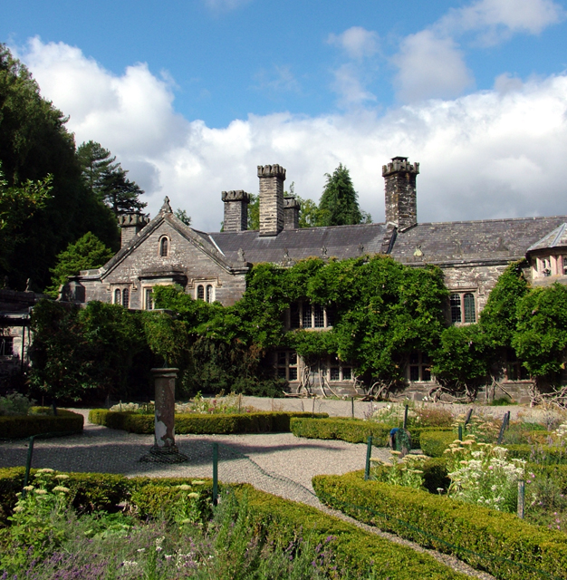
Gwydir Castle
Gwydir Castle is situated in the Conwy valley, Wales, a mile to the west of the ancient market town of Llanrwst and 1.5 miles (2.4 km) to the south of...
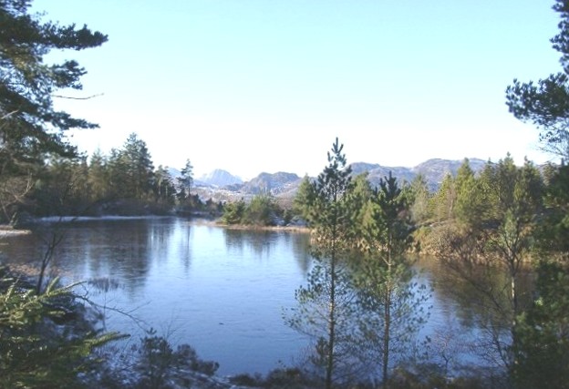
Llyn Glangors
Llyn Glangors is a lake in the Gwydir Forest in north Wales. It lies at a height of 900 ft (270 m) and covers an area of 15 acres (61,000 m2). An artificial...

Llanrwst United F.C.
Llanrwst United (Welsh: Clwb Pêl-Droed Llanrwst Unedig) is a Welsh football club based in Llanrwst in the Conwy Valley. They play in the Ardal Leagues...
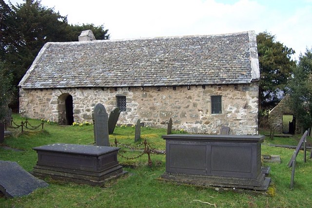
Llanrhychwyn
Llanrhychwyn is a hamlet in Conwy county borough, Wales. It lies in the Conwy valley, less than a mile south of Trefriw, and a mile north-west of Llanrwst...
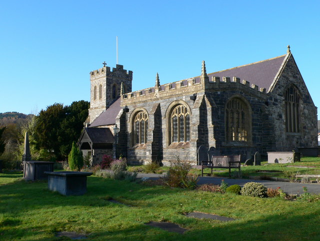
St Grwst's Church, Llanrwst
St Grwst's Church, Llanrwst, is located in Church Street (Tan yr Eglwys), Llanrwst, Conwy, Wales. It is an active Church in Wales parish church and is...
Nant Conwy Rural District
Nant Conwy was a rural district in the administrative county of Caernarfonshire from 1934 to 1974. The district was formed by a County Review Order, combining...
Nearby Amenities
Located within 500m of 53.129841,-3.8162672Have you been to Coed Cefn-maenllwyd?
Leave your review of Coed Cefn-maenllwyd below (or comments, questions and feedback).