Coed Pantygaseg
Wood, Forest in Caernarfonshire
Wales
Coed Pantygaseg
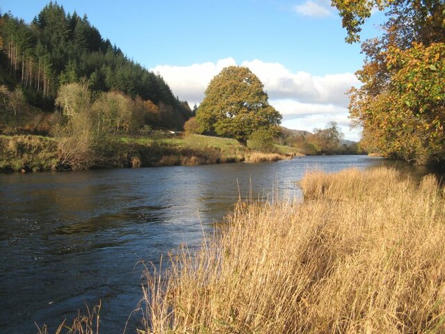
Coed Pantygaseg is a beautiful woodland located in the county of Caernarfonshire, Wales. Situated near the town of Caernarfon, it covers an area of approximately 200 acres. The woodland is known for its dense tree cover and diverse range of flora and fauna.
The forest is predominantly composed of native tree species, including oak, beech, and birch. The lush green canopy provides a haven for wildlife, with numerous bird species, such as woodpeckers and owls, making their homes in the trees. Small mammals like squirrels and foxes can also be spotted within the woodland, adding to its natural charm.
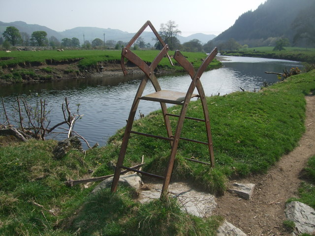
Coed Pantygaseg is a popular destination for nature enthusiasts and hikers, offering a network of well-maintained trails that meander through the forest. These trails provide an opportunity to explore the woodland and enjoy the peaceful and serene environment it offers. The forest also boasts a variety of wildflowers and plants, adding vibrant colors to the landscape during the spring and summer months.
In addition to its natural beauty, Coed Pantygaseg holds historical significance. The woodland was once part of the extensive estate of the local gentry, and remnants of old structures, such as stone walls and ruins, can still be found scattered throughout the forest.
Overall, Coed Pantygaseg is a picturesque and tranquil woodland, offering visitors a chance to immerse themselves in nature, observe wildlife, and take in the breathtaking scenery.
If you have any feedback on the listing, please let us know in the comments section below.
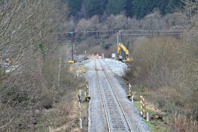
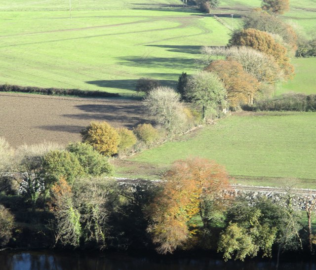
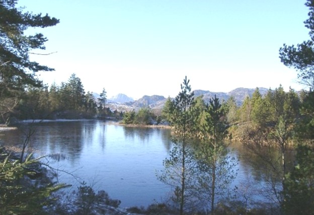
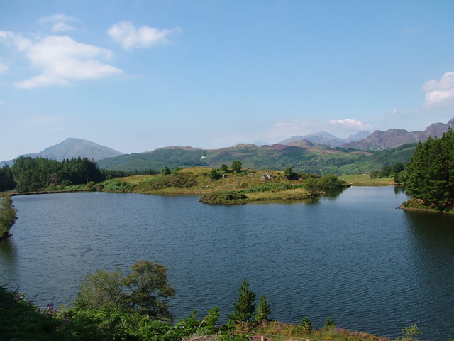
Coed Pantygaseg Images
Images are sourced within 2km of 53.125495/-3.8206573 or Grid Reference SH7860. Thanks to Geograph Open Source API. All images are credited.


Coed Pantygaseg is located at Grid Ref: SH7860 (Lat: 53.125495, Lng: -3.8206573)
Unitary Authority: Conwy
Police Authority: North Wales
What 3 Words
///gathering.shed.exhaling. Near Llanrwst, Conwy
Nearby Locations
Related Wikis
Gwydir Forest
Gwydir Forest, also spelled Gwydyr, is located in Conwy county borough and the Snowdonia National Park in Wales. It takes its name from the ancient Gwydir...
Llyn Glangors
Llyn Glangors is a lake in the Gwydir Forest in north Wales. It lies at a height of 900 ft (270 m) and covers an area of 15 acres (61,000 m2). An artificial...
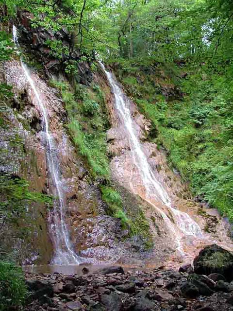
Grey Mare's Tail, Conwy
The Grey Mare's Tail (Welsh: Rhaeadr y Parc Mawr) is a waterfall on the very edge of the Snowdonia National Park near Gwydir Castle in the county of Conwy...
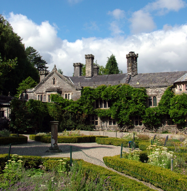
Gwydir Castle
Gwydir Castle is situated in the Conwy valley, Wales, a mile to the west of the ancient market town of Llanrwst and 1.5 miles (2.4 km) to the south of...
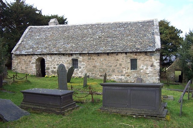
Llanrhychwyn
Llanrhychwyn is a hamlet in Conwy county borough, Wales. It lies in the Conwy valley, less than a mile south of Trefriw, and a mile north-west of Llanrwst...

Llyn Parc
Llyn Parc (also known as "Llyn y Parc") is a lake in the Gwydir Forest in North Wales. Lying at a height of 664 feet, it covers an area of 22 acres (89...

Llanrwst United F.C.
Llanrwst United (Welsh: Clwb Pêl-Droed Llanrwst Unedig) is a Welsh football club based in Llanrwst in the Conwy Valley. They play in the Ardal Leagues...
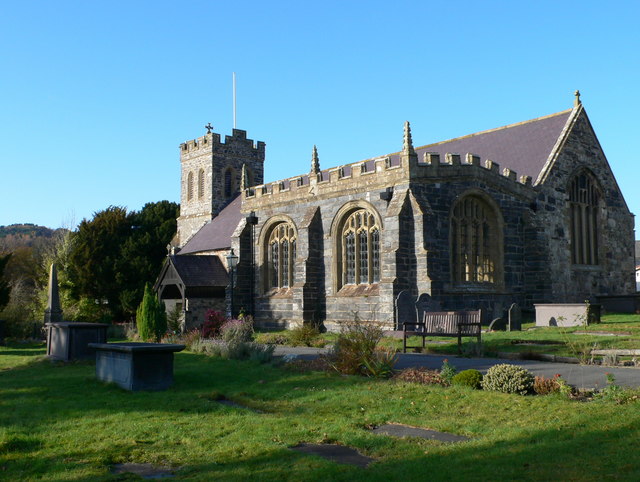
St Grwst's Church, Llanrwst
St Grwst's Church, Llanrwst, is located in Church Street (Tan yr Eglwys), Llanrwst, Conwy, Wales. It is an active Church in Wales parish church and is...
Nearby Amenities
Located within 500m of 53.125495,-3.8206573Have you been to Coed Pantygaseg?
Leave your review of Coed Pantygaseg below (or comments, questions and feedback).