Coed Pen-y-bryn

Wood, Forest in Caernarfonshire

Wales

Coed Pen-y-bryn

The entrance to Pen-y-ffrîdd
The entrance to Pen-y-ffrîdd Credit: David Medcalf

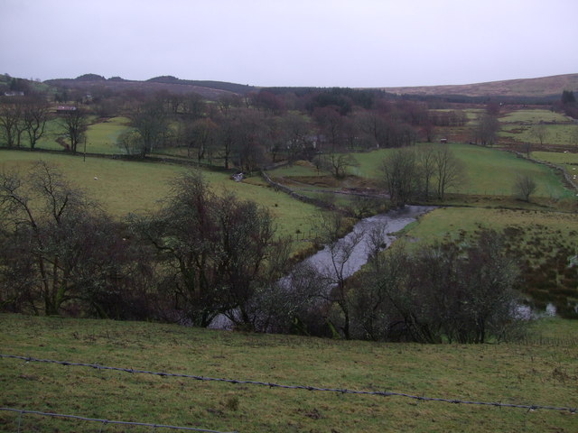
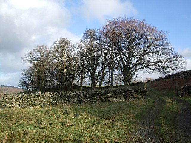
Coed Pen-y-bryn is a picturesque woodland located in the county of Caernarfonshire, Wales. Spanning an area of approximately 100 acres, this tranquil forest is a popular destination for nature enthusiasts and outdoor adventurers alike.

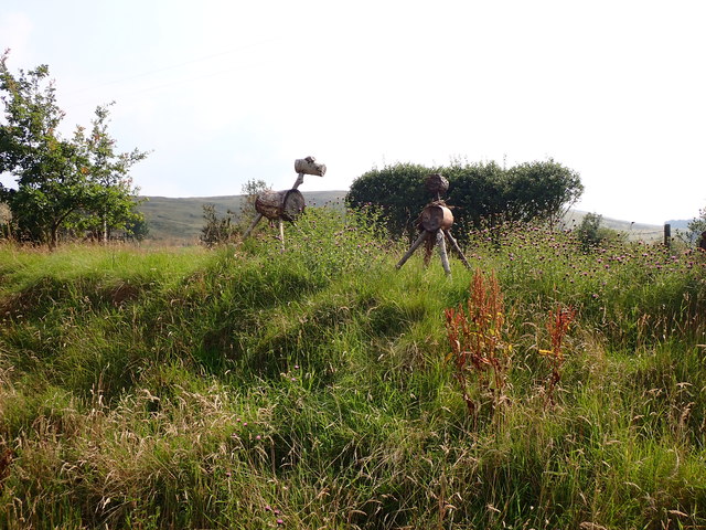
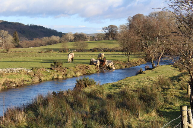
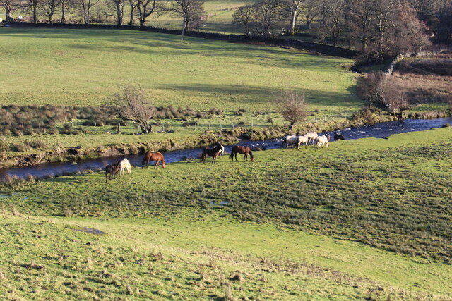
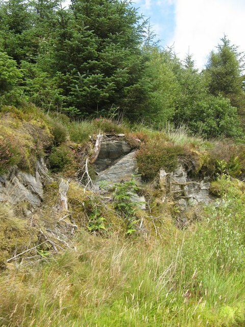
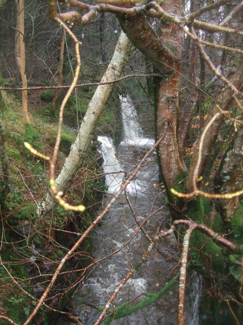
The woodland is characterized by its diverse range of tree species, including oak, beech, and pine, which create a rich and vibrant tapestry of colors throughout the seasons. The dense canopy provides a cool and shaded environment, making it a perfect escape from the summer heat. The forest floor is adorned with a variety of wildflowers, adding to its natural beauty.

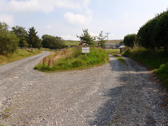
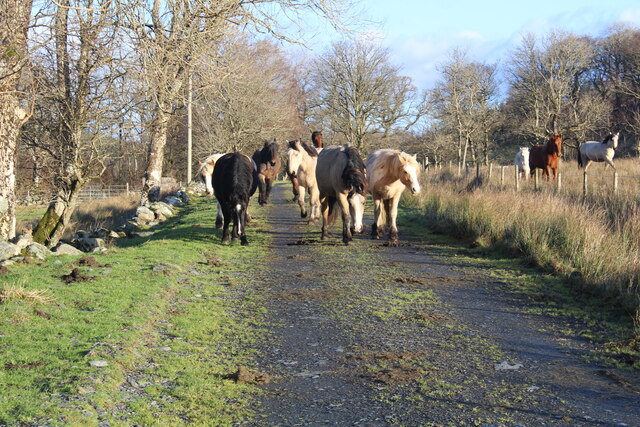
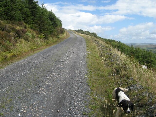
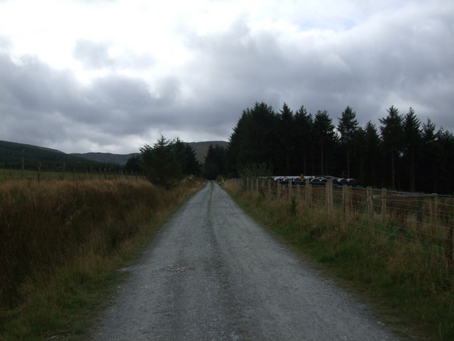
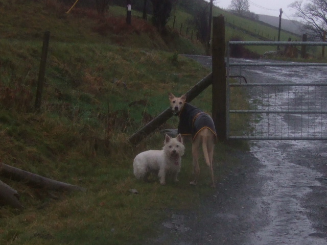
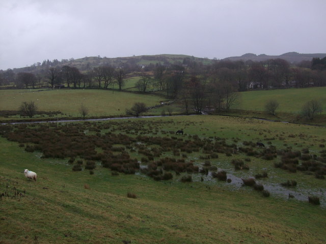
Coed Pen-y-bryn boasts a network of well-maintained walking trails, allowing visitors to explore the area at their own pace. Along these trails, one can encounter an array of wildlife, such as deer, foxes, and a myriad of bird species. The forest is also home to several species of butterflies and insects, making it a haven for nature photographers and wildlife enthusiasts.

In addition to its natural beauty, Coed Pen-y-bryn offers various recreational activities. There are picnic areas and designated camping spots for those looking to spend a night under the stars. The forest also has a designated mountain biking trail, attracting adrenaline-seekers and cycling enthusiasts.

Overall, Coed Pen-y-bryn is a captivating woodland that offers a haven of tranquility and natural beauty. With its diverse flora and fauna, well-maintained trails, and recreational activities, it is a must-visit destination for anyone seeking to immerse themselves in the beauty of Caernarfonshire's natural landscape.

If you have any feedback on the listing, please let us know in the comments section below.

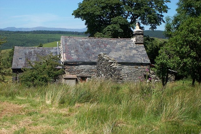
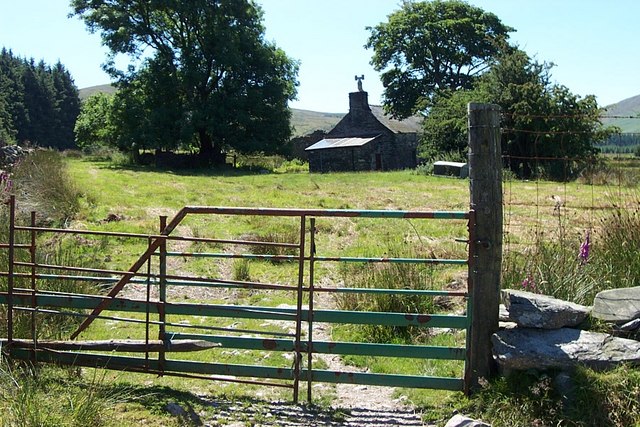
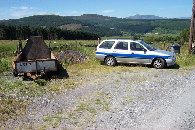
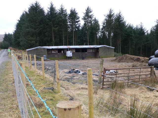
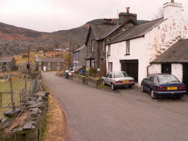
Coed Pen-y-bryn Images

Images are sourced within 2km of 53.03219/-3.81559 or Grid Reference SH7849. Thanks to Geograph Open Source API. All images are credited.

The entrance to Pen-y-ffrîdd
Strange animals at Pen-y-ffrîdd
A lean to Or is it a listed building?
Anyway it has seen better days.
A lean to
Or is it a listed building? Anyway it has seen better days.
We're being followed Privately owned but they do not like 'their' territory, a public footpath, invaded. 
I am told there are Polish horses included in the herd. I am uncertain as to the breed.
They subsequently jumped over the wall to their right and raced across the fields below and were seen later on our walk - watering in the Afon Machno.
<a href="https://www.geograph.org.uk/photo/7370040">SH7849 : Watering time for the horses</a>
We're being followed
Privately owned but they do not like 'their' territory, a public footpath, invaded. I am told there are Polish horses included in the herd. I am uncertain as to the breed. They subsequently jumped over the wall to their right and raced across the fields below and were seen later on our walk - watering in the Afon Machno. SH7849 : Watering time for the horses
Watering time for the horses On the Afon Machno riverbank.
Watering time for the horses
On the Afon Machno riverbank.
Down by the riverside On the Afon Machno.
Down by the riverside
On the Afon Machno.
Rising track The main forest track rising up the open hillside now that trees have been felled to the south, and trees are set back from the track on the other side. On the left of the track there are sporadic rock outcrops (see <a href="https://www.geograph.org.uk/photo/7555539">SH7649 : Track-side rock outcrop</a>).
Rising track
The main forest track rising up the open hillside now that trees have been felled to the south, and trees are set back from the track on the other side. On the left of the track there are sporadic rock outcrops (see SH7649 : Track-side rock outcrop).
Track-side rock outcrop The track is incised into rock outcrop in places, revealing slates belonging to the Cwm Eigiau Formation (Ordovician, Caradoc).
Track-side rock outcrop
The track is incised into rock outcrop in places, revealing slates belonging to the Cwm Eigiau Formation (Ordovician, Caradoc).
Blaen-y-buarth farmhouse Blaen-y-buarth farmhouse at SH 80299 49850 above Penmachno.
Blaen-y-buarth farmhouse
Blaen-y-buarth farmhouse at SH 80299 49850 above Penmachno.
Gate near Blaen-y-buarth above Penmachno This gate is on the footpath between Ty'n y Cae and Blaen-y-buarth above Penmachno at grid reference SH 80276 49942.
Gate near Blaen-y-buarth above Penmachno
This gate is on the footpath between Ty'n y Cae and Blaen-y-buarth above Penmachno at grid reference SH 80276 49942.
Lay-By near Cae Cwmpas This lay-by near Cae Cwmpas is the termination of the minor road that runs from Penmachno at grid reference SH 80235 49614.
Lay-By near Cae Cwmpas
This lay-by near Cae Cwmpas is the termination of the minor road that runs from Penmachno at grid reference SH 80235 49614.
Stables by the forest Approaching part of the Gwydir Forest, near Penmachno.
Stables by the forest
Approaching part of the Gwydir Forest, near Penmachno.
Track to forest at Penmachno
Stream at Penmachno After torrential rain on New Years Day 2012. The surrounding fields were awash.
Stream at Penmachno
After torrential rain on New Years Day 2012. The surrounding fields were awash.
Anyone there to open the gate cos we're getting wet? Geographers dog and tall lurcher friend.
Anyone there to open the gate cos we're getting wet?
Geographers dog and tall lurcher friend.
Wet fields Penmachno 1.1.12. After torrential rains during the past 24 hours.
Wet fields Penmachno 1.1.12.
After torrential rains during the past 24 hours.
Afon Machno Penmachno 1.1.12
Tree line Penmachno
Tree line Penmachno
Show me another place!

Coed Pen-y-bryn is located at Grid Ref: SH7849 (Lat: 53.03219, Lng: -3.81559)

Unitary Authority: Conwy

Police Authority: North Wales

What 3 Words

///disengage.spoken.expansion. Near Betws-y-Coed, Conwy

Related Wikis

Bro Machno

Bro Machno is a community in Conwy County Borough, in Wales, formed from the former civil parish of Penmachno. It covers the Penmachno Valley, through...

Penmachno

Penmachno is a village in the isolated upland Machno valley, 4 miles (6 km) south of Betws-y-Coed in the county of Conwy, North Wales. The B4406 road runs...
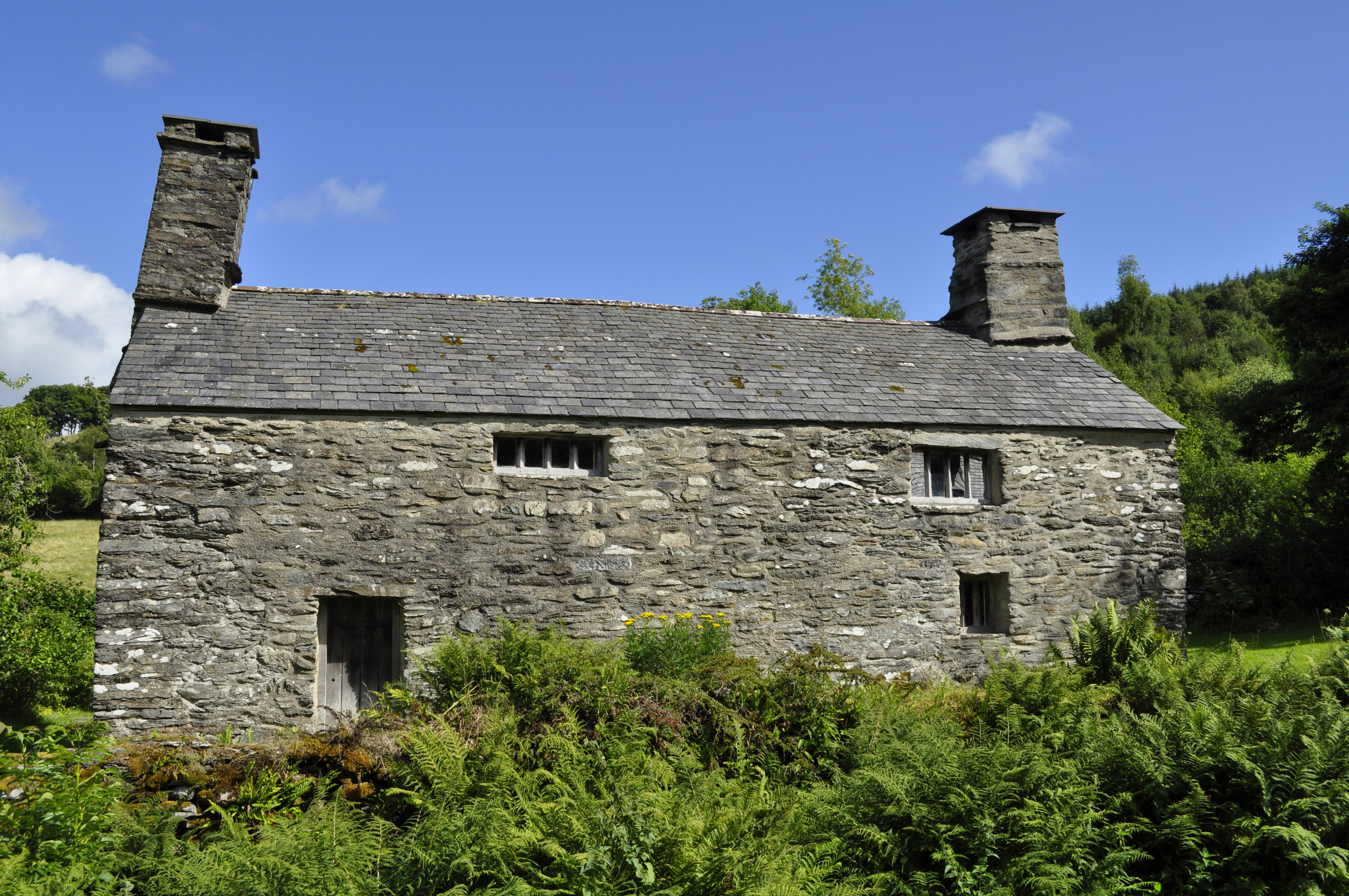
Tŷ Mawr Wybrnant

Tŷ Mawr Wybrnant is a house located in the Wybrnant Valley, in the community of Bro Machno, near Betws-y-Coed in Conwy County Borough, North Wales. It...

Rhiw Llwyd

Rhiw Llwyd is the name of an early medieval Wales lordship which was created in the Kingdom of Gwynedd in the 12th century for Tomas ap Rhodri ab Owain...

Arllechwedd

Arllechwedd was an ancient Welsh cantref in north-west Wales. It was part of the kingdom of Gwynedd for much of its history until it was included in the...
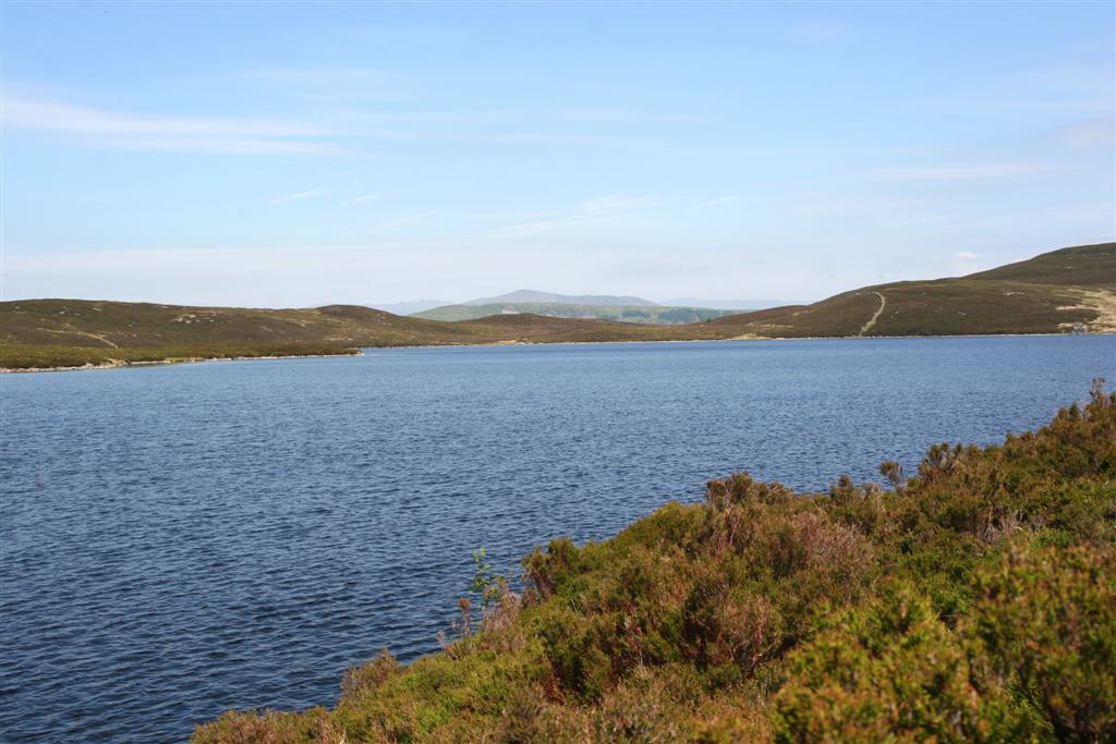
Llyn Conwy

Llyn Conwy (SH780462) is a lake in the county of Conwy in central north Wales. It is the source of the River Conwy which, on flowing south out of the lake...

Afon Lledr

The Afon Lledr (or the River Lledr) is a river in north-west Wales and the second major tributary of the River Conwy. It is about 10 miles or 16 km long...

Cwm Penmachno

Cwm Penmachno (historically called Tre-Gynwal) is a village at the head of Cwm Machno in North Wales. == History == The village was built in the 1860s...

Nearby Amenities

Located within 500m of 53.03219,-3.81559
Parking
Parking: surface
Source: gps_survey
Lat/Long: 53.0306267/-3.8122136
Moel Pen-Y-Bryn
Ele: 428
Natural: peak
Lat/Long: 53.0304618/-3.8218133
Barrier: stile
Lat/Long: 53.0288147/-3.8128804
Penmachno Mountain bike Trailhead
Information: board
Tourism: information
Lat/Long: 53.0315115/-3.8111483
The data included in this document is from www.openstreetmap.org. The data is made available under ODbL.

Have you been to Coed Pen-y-bryn?

Leave your review of Coed Pen-y-bryn below (or comments, questions and feedback).