Coed Gwern
Wood, Forest in Caernarfonshire
Wales
Coed Gwern

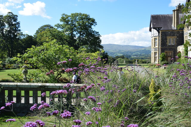
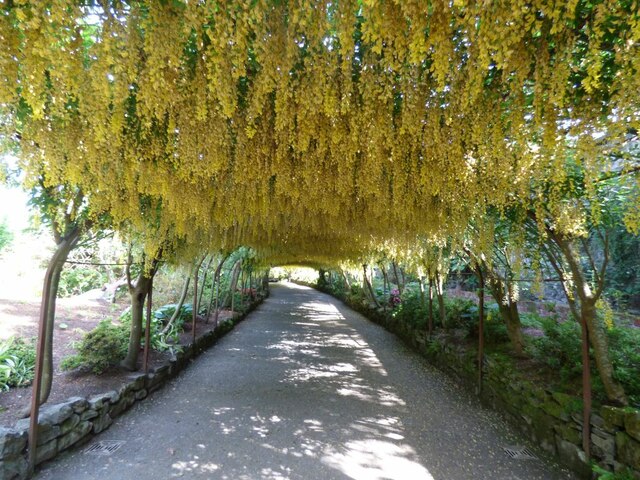
Coed Gwern, located in Caernarfonshire, is a captivating woodland area renowned for its breathtaking beauty and ecological significance. The name "Coed Gwern" translates to "Wood" or "Forest" in English, aptly reflecting its abundant tree cover and diverse flora and fauna.
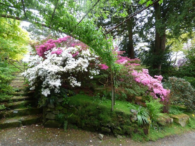
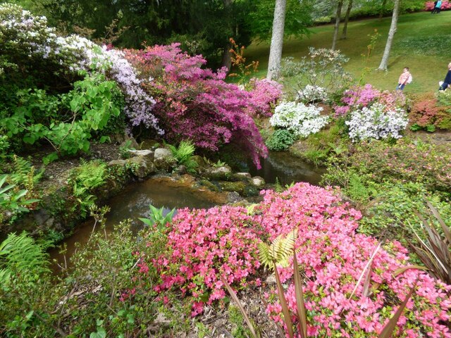
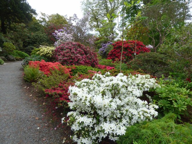
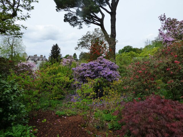
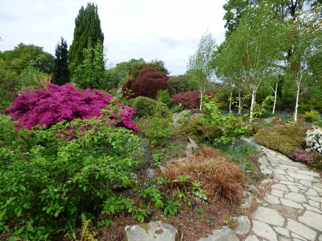
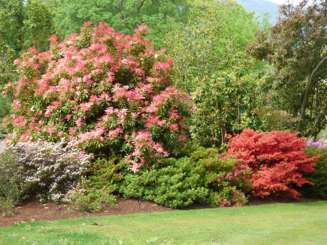
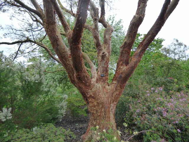
Encompassing a vast expanse of approximately 500 acres, Coed Gwern offers a haven for nature enthusiasts and outdoor adventurers alike. The woodland is predominantly composed of native broadleaf trees, including oak, beech, birch, and willow, which create a rich and varied habitat for wildlife. Various species of birds, such as woodpeckers, owls, and finches, can be spotted among the branches, while mammals like squirrels, foxes, and badgers roam the forest floor.
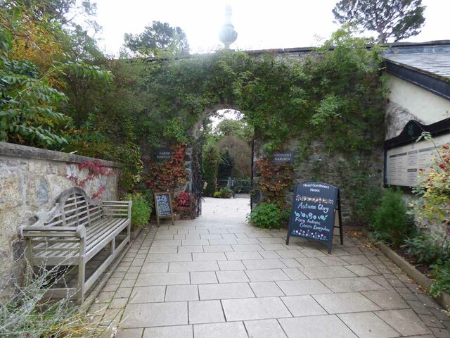
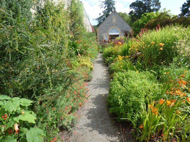
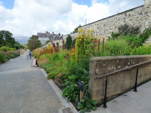
The woodland boasts an extensive network of well-maintained footpaths and trails, making it a popular destination for walkers, hikers, and cyclists. These paths wind through the enchanting woodland, offering visitors the opportunity to immerse themselves in the serene surroundings and witness the changing seasons at their finest.
Aside from its natural beauty, Coed Gwern also holds historical and cultural significance. The woodland has witnessed human activity for centuries, with remnants of ancient settlements and historic structures still visible. This adds an extra layer of intrigue and fascination for those interested in the area's past.
As a designated Site of Special Scientific Interest (SSSI), Coed Gwern is recognized for its ecological importance and is carefully managed to preserve its delicate balance of biodiversity. The woodland serves as a valuable habitat for numerous rare and protected species, including various plants, insects, and fungi.
In summary, Coed Gwern is a captivating woodland sanctuary in Caernarfonshire, offering visitors a unique opportunity to connect with nature, explore its historical roots, and appreciate the remarkable biodiversity it harbors.
If you have any feedback on the listing, please let us know in the comments section below.
Coed Gwern Images
Images are sourced within 2km of 53.228357/-3.8238061 or Grid Reference SH7871. Thanks to Geograph Open Source API. All images are credited.


Coed Gwern is located at Grid Ref: SH7871 (Lat: 53.228357, Lng: -3.8238061)
Unitary Authority: Conwy
Police Authority: North Wales
What 3 Words
///metro.breached.locating. Near Llansantffraid Glan Conwy, Conwy
Nearby Locations
Related Wikis
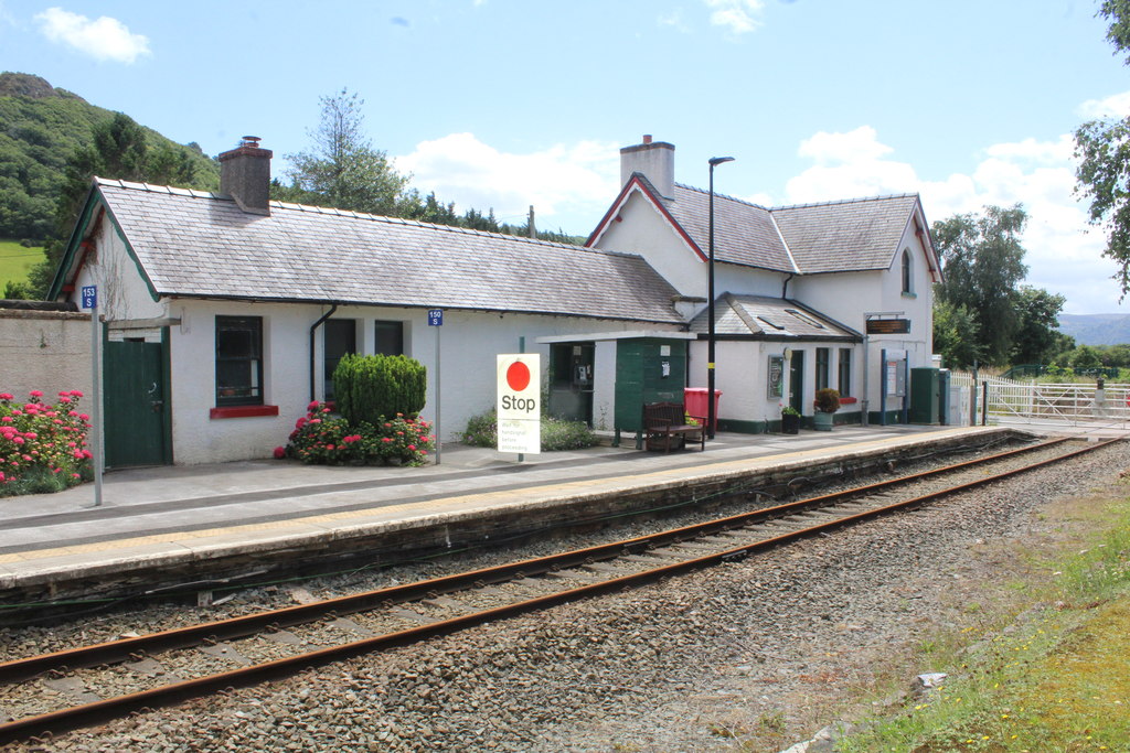
Tal-y-Cafn railway station
Tal-y-Cafn railway station is located at Tal-y-Cafn, Wales, on the Conwy Valley Line from Llandudno Junction to Blaenau Ffestiniog. == History == Until...

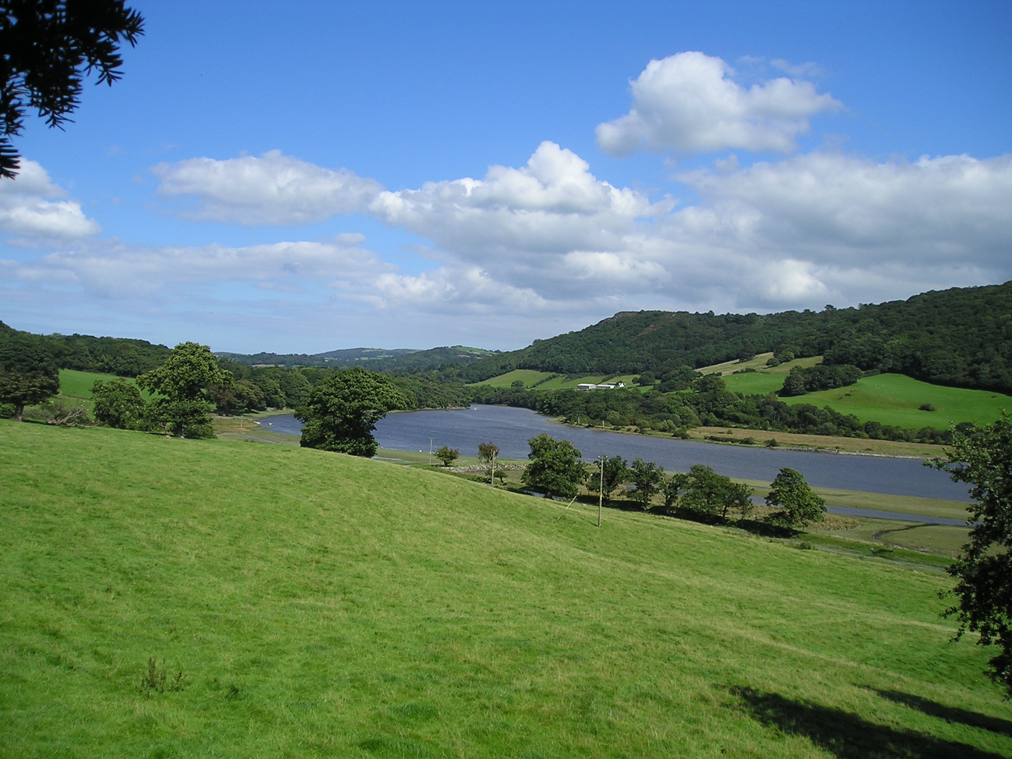
Tal-y-Cafn
Tal-y-Cafn (Welsh meaning : "place opposite the ferry-boat") is a small settlement in Conwy county borough, north Wales, in the community of Eglwysbach...
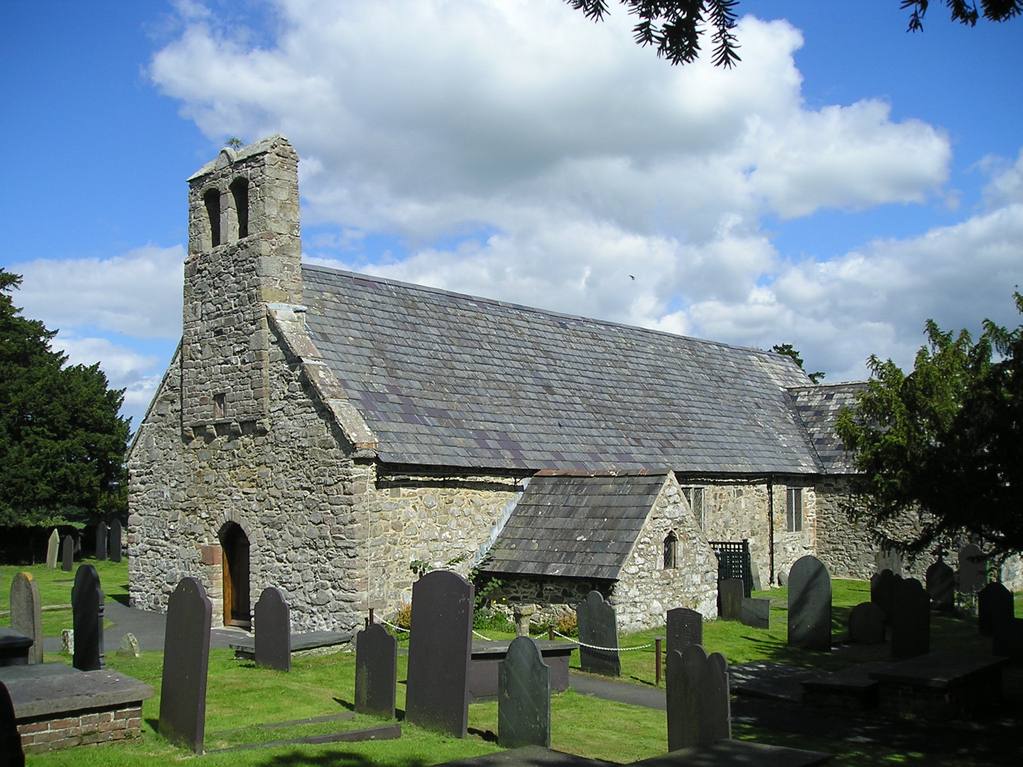
Caerhun
Caerhun (Welsh: Caerhûn) is a scattered rural community, and former civil parish, on the west bank of the River Conwy. It lies to the south of Henryd...
Canovium
Canovium was a fort in the Roman province of Britannia. Its site is located at Caerhun in the Conwy valley, in the county borough of Conwy, in North Wales...
Nearby Amenities
Located within 500m of 53.228357,-3.8238061Have you been to Coed Gwern?
Leave your review of Coed Gwern below (or comments, questions and feedback).