Allt Pen-y-bont

Wood, Forest in Caernarfonshire

Wales

Allt Pen-y-bont

A lean to Or is it a listed building?
Anyway it has seen better days.
A lean to Credit: Richard Hoare

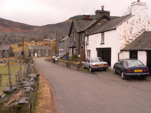
Allt Pen-y-bont is a picturesque woodland located in the county of Caernarfonshire, Wales. Situated near the village of Pen-y-bont, it covers an area of approximately 100 hectares and is renowned for its natural beauty and diverse range of flora and fauna.

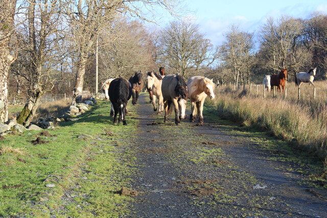
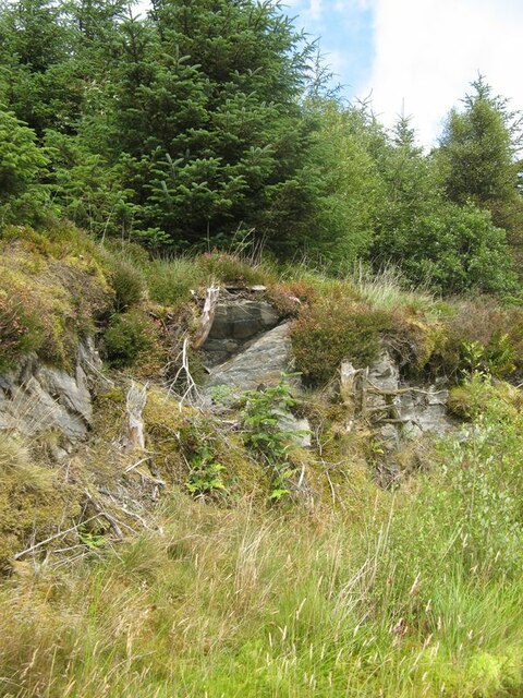
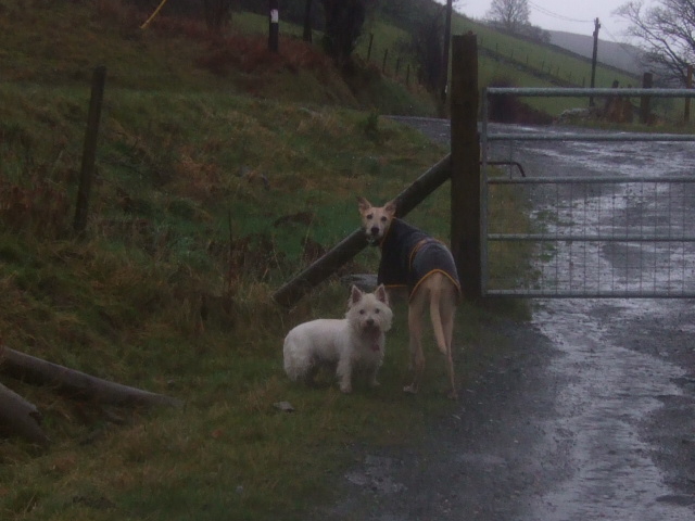
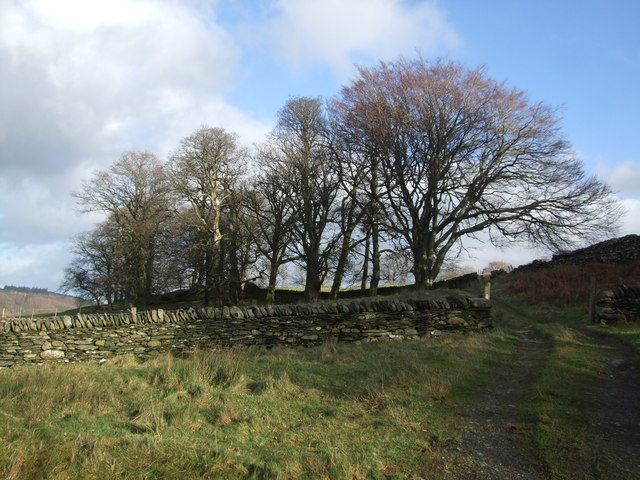
The woodland is composed mainly of native broadleaf trees, including oak, beech, and birch, which create a dense and enchanting canopy. These trees provide a habitat for a variety of wildlife species, such as foxes, badgers, and numerous bird species including woodpeckers and owls.

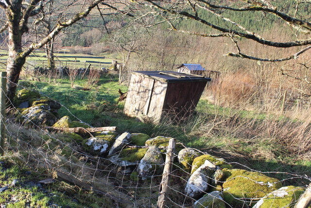
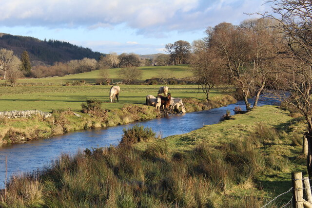
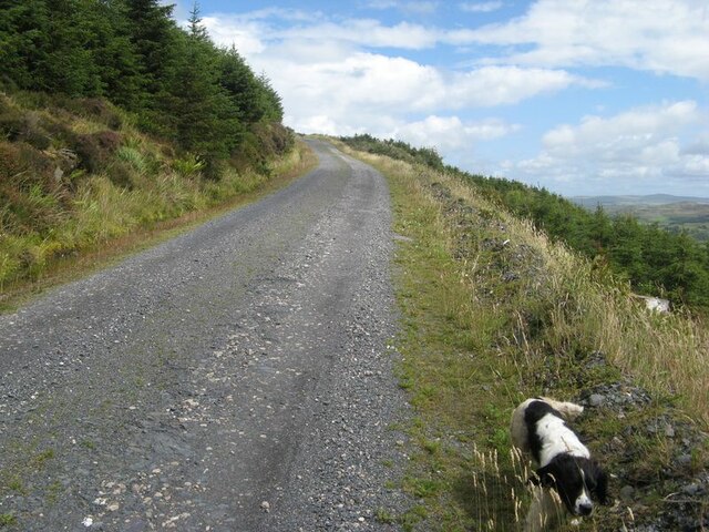
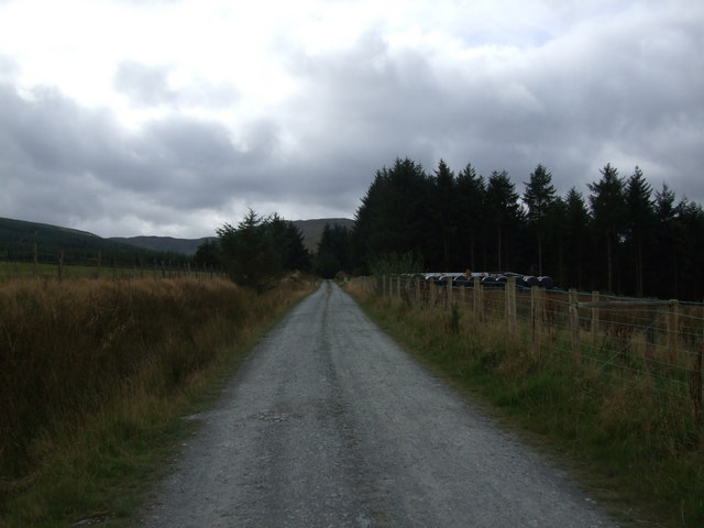
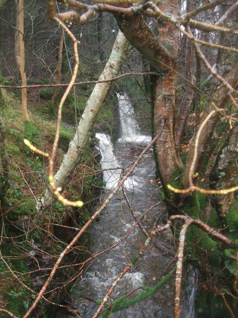
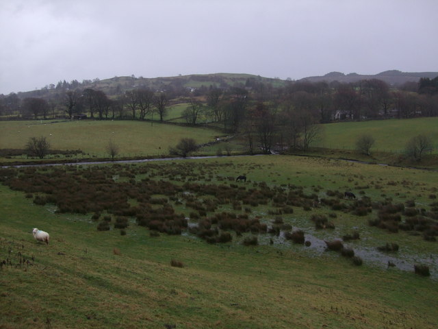
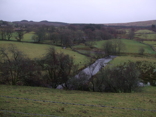
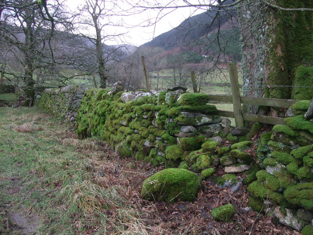
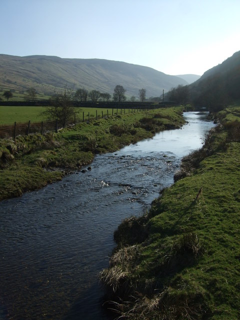
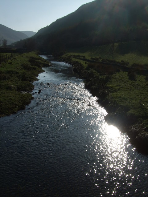
Allt Pen-y-bont is intersected by a network of well-maintained footpaths, allowing visitors to explore the woodland and enjoy its tranquility. The paths wind through the trees, leading to secluded clearings and offering stunning views of the surrounding countryside. The woodland is also intersected by a small stream, adding to its charm and providing a peaceful soundtrack as it gently flows through the trees.

The area is a popular destination for nature lovers, walkers, and photographers, who are drawn to its natural beauty and peaceful atmosphere. The woodland offers a range of recreational activities, including hiking, birdwatching, and simply enjoying the serenity of the surroundings.

Allt Pen-y-bont is easily accessible, with a small parking area at its entrance and public transport options available nearby. The woodland is open to the public year-round and is managed by a local conservation organization, ensuring its protection for future generations to enjoy.

If you have any feedback on the listing, please let us know in the comments section below.

Allt Pen-y-bont Images

Images are sourced within 2km of 53.026005/-3.8173283 or Grid Reference SH7849. Thanks to Geograph Open Source API. All images are credited.

A lean to Or is it a listed building?
Anyway it has seen better days.
A lean to
Or is it a listed building? Anyway it has seen better days.
We're being followed Privately owned but they do not like 'their' territory, a public footpath, invaded. 
I am told there are Polish horses included in the herd. I am uncertain as to the breed.
They subsequently jumped over the wall to their right and raced across the fields below and were seen later on our walk - watering in the Afon Machno.
<a href="https://www.geograph.org.uk/photo/7370040">SH7849 : Watering time for the horses</a>
We're being followed
Privately owned but they do not like 'their' territory, a public footpath, invaded. I am told there are Polish horses included in the herd. I am uncertain as to the breed. They subsequently jumped over the wall to their right and raced across the fields below and were seen later on our walk - watering in the Afon Machno. SH7849 : Watering time for the horses
Watering time for the horses On the Afon Machno riverbank.
Watering time for the horses
On the Afon Machno riverbank.
Down by the riverside On the Afon Machno.
Down by the riverside
On the Afon Machno.
Rising track The main forest track rising up the open hillside now that trees have been felled to the south, and trees are set back from the track on the other side. On the left of the track there are sporadic rock outcrops (see <a href="https://www.geograph.org.uk/photo/7555539">SH7649 : Track-side rock outcrop</a>).
Rising track
The main forest track rising up the open hillside now that trees have been felled to the south, and trees are set back from the track on the other side. On the left of the track there are sporadic rock outcrops (see SH7649 : Track-side rock outcrop).
Track-side rock outcrop The track is incised into rock outcrop in places, revealing slates belonging to the Cwm Eigiau Formation (Ordovician, Caradoc).
Track-side rock outcrop
The track is incised into rock outcrop in places, revealing slates belonging to the Cwm Eigiau Formation (Ordovician, Caradoc).
Stables by the forest Approaching part of the Gwydir Forest, near Penmachno.
Stables by the forest
Approaching part of the Gwydir Forest, near Penmachno.
Track to forest at Penmachno
Stream at Penmachno After torrential rain on New Years Day 2012. The surrounding fields were awash.
Stream at Penmachno
After torrential rain on New Years Day 2012. The surrounding fields were awash.
Anyone there to open the gate cos we're getting wet? Geographers dog and tall lurcher friend.
Anyone there to open the gate cos we're getting wet?
Geographers dog and tall lurcher friend.
Wet fields Penmachno 1.1.12. After torrential rains during the past 24 hours.
Wet fields Penmachno 1.1.12.
After torrential rains during the past 24 hours.
Afon Machno Penmachno 1.1.12
Tree line Penmachno
Tree line Penmachno
Moss covered wall Penmachno
Pont Oernant This bridge over the river Machno is found south south west of Penmachno by following the High Street and then the CWM Road.
Pont Oernant
This bridge over the river Machno is found south south west of Penmachno by following the High Street and then the CWM Road.
Barn in Penmachno For the other side view see <a href="https://www.geograph.org.uk/photo/1896464">SH7949 : Disused barn Penmachno</a>
Barn in Penmachno
For the other side view see SH7949 : Disused barn Penmachno
Afon Machno On a balmy March afternoon.
Afon Machno
On a balmy March afternoon.
Sunlight on the Afon Machno Bright sunlight on a balmy March afternoon.
Sunlight on the Afon Machno
Bright sunlight on a balmy March afternoon.
Show me another place!

Allt Pen-y-bont is located at Grid Ref: SH7849 (Lat: 53.026005, Lng: -3.8173283)

Unitary Authority: Conwy

Police Authority: North Wales

What 3 Words

///quicksand.leaves.rotations. Near Betws-y-Coed, Conwy

Related Wikis

Bro Machno

Bro Machno is a community in Conwy County Borough, in Wales, formed from the former civil parish of Penmachno. It covers the Penmachno Valley, through...

Penmachno

Penmachno is a village in the isolated upland Machno valley, 4 miles (6 km) south of Betws-y-Coed in the county of Conwy, North Wales. The B4406 road runs...

Arllechwedd

Arllechwedd was an ancient Welsh cantref in north-west Wales. It was part of the kingdom of Gwynedd for much of its history until it was included in the...
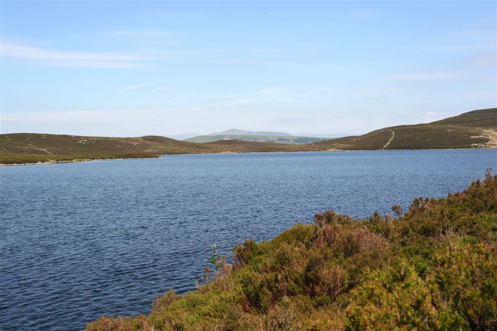
Llyn Conwy

Llyn Conwy (SH780462) is a lake in the county of Conwy in central north Wales. It is the source of the River Conwy which, on flowing south out of the lake...
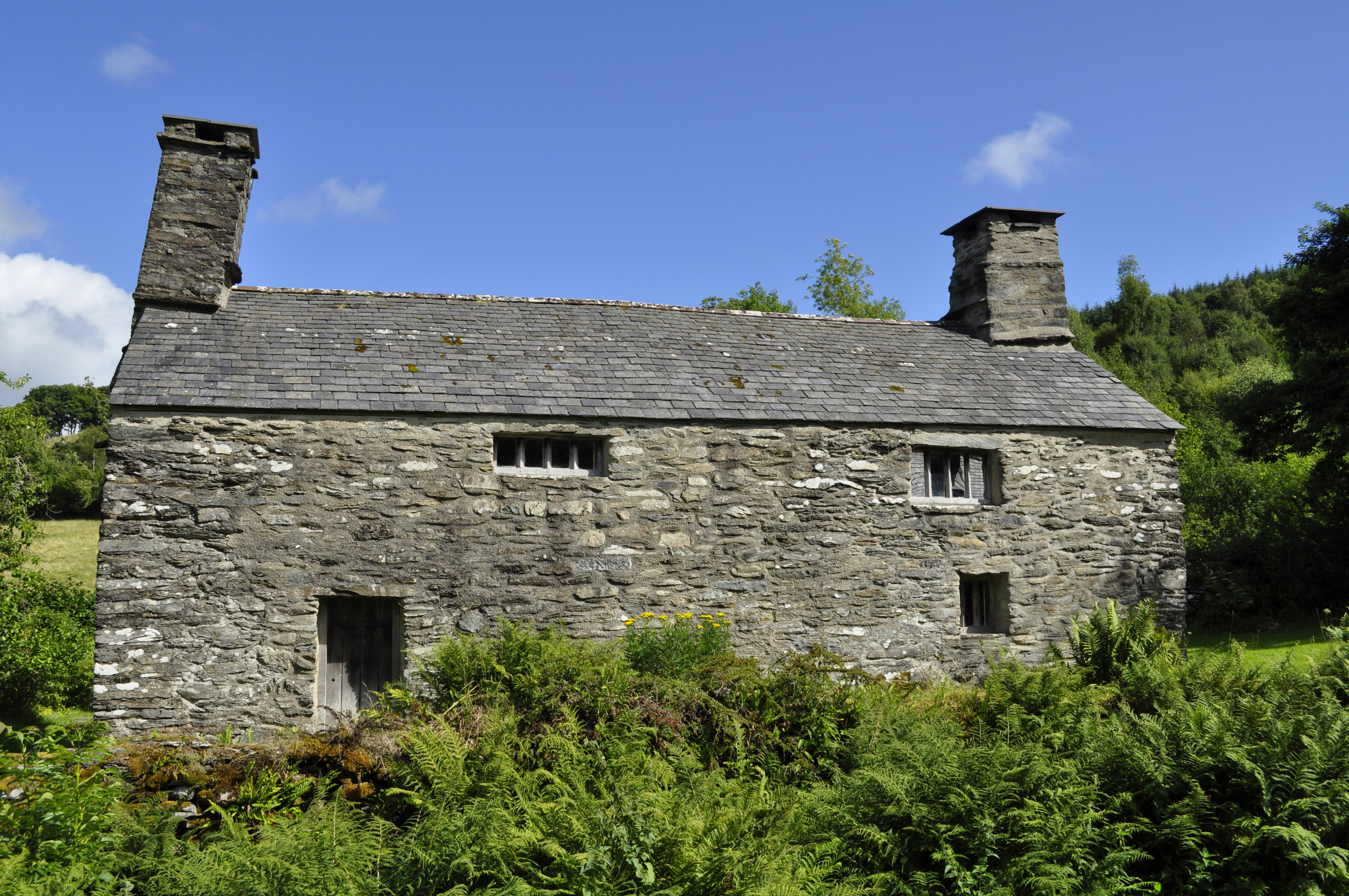
Tŷ Mawr Wybrnant

Tŷ Mawr Wybrnant is a house located in the Wybrnant Valley, in the community of Bro Machno, near Betws-y-Coed in Conwy County Borough, North Wales. It...

Cwm Penmachno

Cwm Penmachno (historically called Tre-Gynwal) is a village at the head of Cwm Machno in North Wales. == History == The village was built in the 1860s...

Penmachno quarry

The Penmachno quarry (also known as Cwm Machno quarry, Rhiwfachno quarry, or Tan-y-Rhiw quarry) was a slate quarry near Cwm Penmachno, Conwy, North Wales...

Rhiw Llwyd

Rhiw Llwyd is the name of an early medieval Wales lordship which was created in the Kingdom of Gwynedd in the 12th century for Tomas ap Rhodri ab Owain...

Nearby Amenities

Located within 500m of 53.026005,-3.8173283
Pen-y-bont
Place: farm
Lat/Long: 53.0237868/-3.8177117
Barrier: stile
Lat/Long: 53.0288147/-3.8128804
The data included in this document is from www.openstreetmap.org. The data is made available under ODbL.

Have you been to Allt Pen-y-bont?

Leave your review of Allt Pen-y-bont below (or comments, questions and feedback).