Ffridd-fawr
Wood, Forest in Merionethshire
Wales
Ffridd-fawr

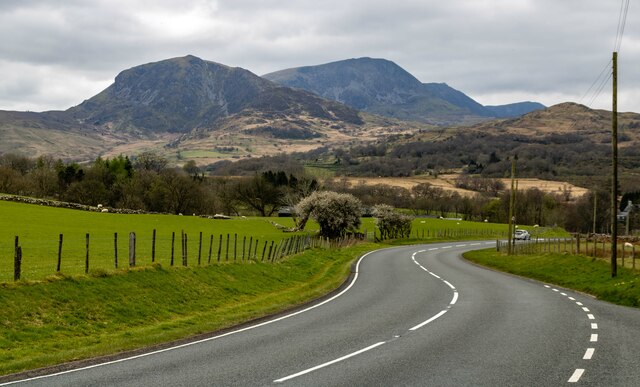
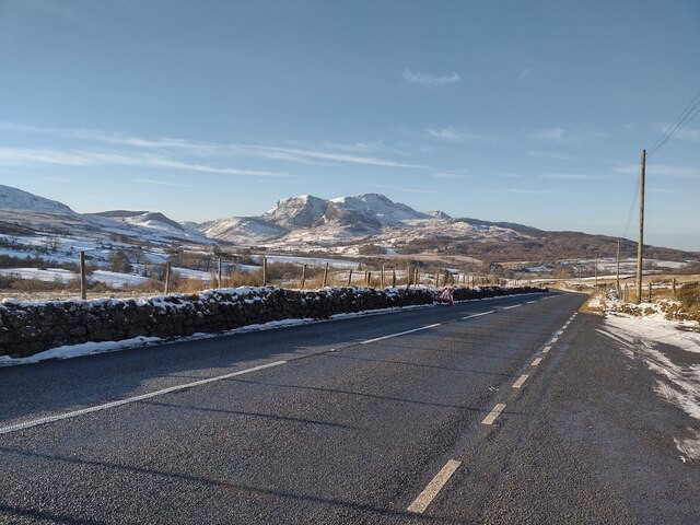
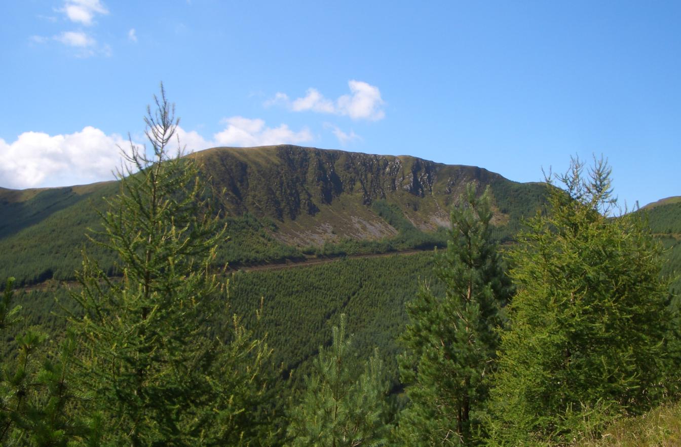
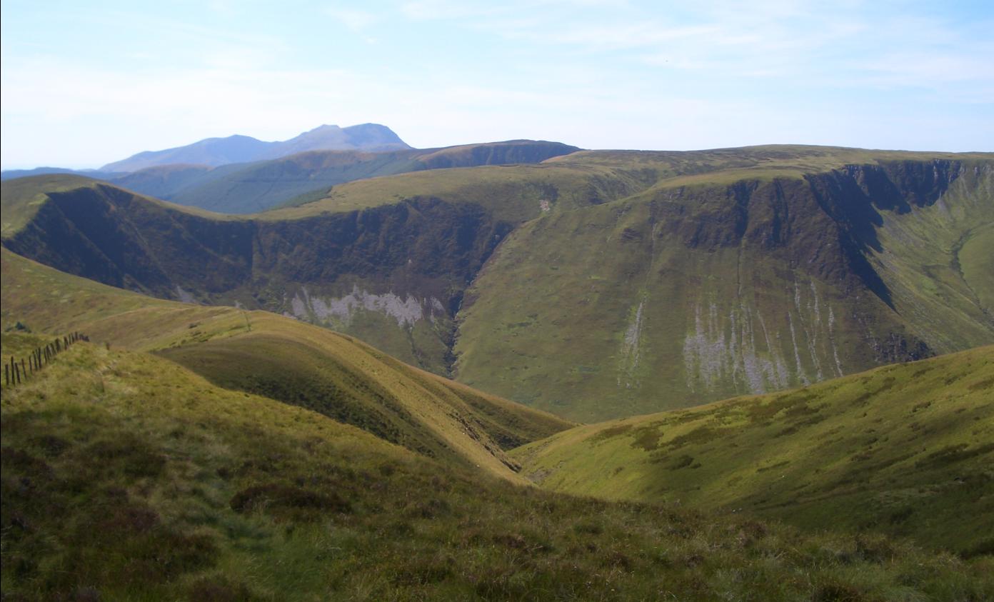
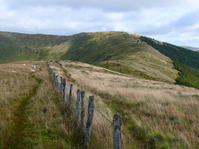
Ffridd-fawr is a small rural village located in the historical county of Merionethshire, Wales. Nestled amidst the stunning scenery of Snowdonia National Park, this picturesque village is renowned for its natural beauty and tranquility. The name "Ffridd-fawr" translates to "Wood" or "Forest" in English, perfectly reflecting the lush greenery and wooded landscapes that surround the area.
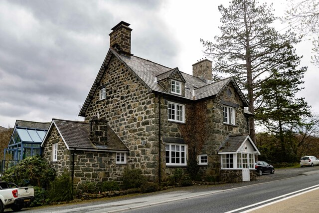
The village itself is characterized by a cluster of traditional stone cottages, giving it a timeless charm. It is home to a close-knit community, with a population of around 200 residents. The locals take great pride in preserving their rural heritage and maintaining the village's peaceful atmosphere.
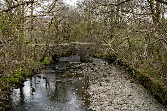
The surrounding area offers a wealth of outdoor activities and opportunities to explore the natural wonders of Snowdonia. Ffridd-fawr is situated near numerous hiking trails, allowing visitors to immerse themselves in the breathtaking scenery. From gentle walks through woodlands to challenging hikes up the towering peaks of Snowdonia, there is something for every level of adventurer.
The village is also located near several beautiful lakes, including Llyn Trawsfynydd and Llyn Celyn, where visitors can enjoy fishing or simply bask in the serenity of the surroundings.
Despite its rural setting, Ffridd-fawr is within easy reach of amenities and attractions. The nearby town of Dolgellau offers a range of shops, restaurants, and pubs, ensuring that residents and visitors have access to all the essentials.
In summary, Ffridd-fawr is a charming village in Merionethshire, surrounded by stunning natural landscapes. It offers a peaceful retreat for those seeking a break from the hustle and bustle of modern life, and a gateway to the beauty of Snowdonia National Park.
If you have any feedback on the listing, please let us know in the comments section below.
Ffridd-fawr Images
Images are sourced within 2km of 52.729092/-3.8049085 or Grid Reference SH7816. Thanks to Geograph Open Source API. All images are credited.


Ffridd-fawr is located at Grid Ref: SH7816 (Lat: 52.729092, Lng: -3.8049085)
Unitary Authority: Gwynedd
Police Authority: North Wales
What 3 Words
///baking.bathtubs.presides. Near Dolgellau, Gwynedd
Nearby Locations
Related Wikis
Waun-oer
Waun-oer is a mountain in Snowdonia, North Wales, situated approximately four miles to the south-west of Aran Fawddwy. It is one of the peaks in the Dyfi...
Cribin Fawr
Cribin Fawr is a mountain in Snowdonia, North Wales, situated approximately four miles to the south-west of Aran Fawddwy. It is one of the peaks in the...
Mynydd Ceiswyn
Mynydd Ceiswyn is a mountain in Wales. It is the peak south of Waun-oer in the Dyfi Hills. On the east side of the mountain is the valley of the Nant Ceiswyn...

Mynydd Dolgoed
Mynydd Dolgoed or Craig Portas is a mountain in southern Snowdonia, Wales. It is a long ridge running from a low summit between the valleys of the Afon...
Nearby Amenities
Located within 500m of 52.729092,-3.8049085Have you been to Ffridd-fawr?
Leave your review of Ffridd-fawr below (or comments, questions and feedback).