Coed Pencraig
Wood, Forest in Caernarfonshire
Wales
Coed Pencraig
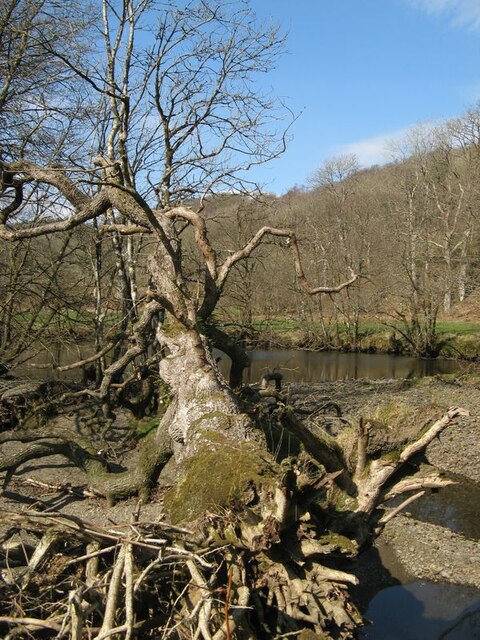
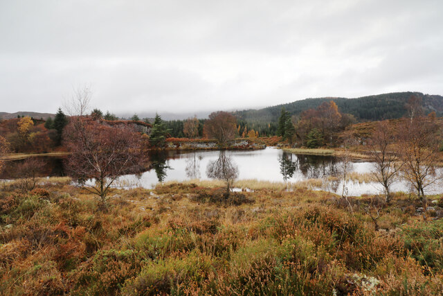
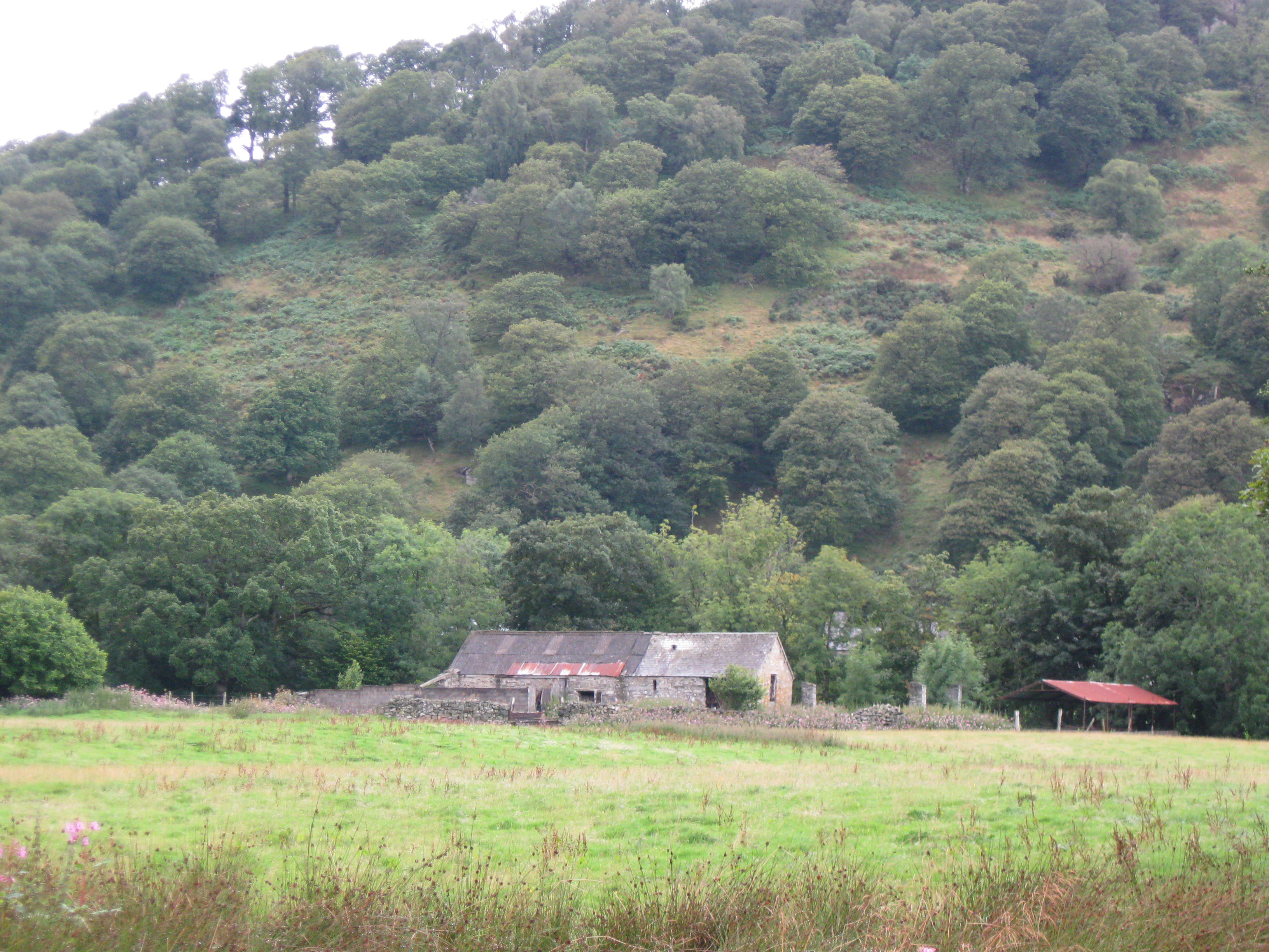
Coed Pencraig is a picturesque woodland area located in Caernarfonshire, Wales. Spread over a vast area, this enchanting forest is known for its diverse flora and fauna, making it a popular destination for nature enthusiasts and hikers.
The forest is characterized by its dense canopy of towering trees, including oak, beech, and pine, which create a serene and peaceful atmosphere. The woodland floor is adorned with a carpet of vibrant wildflowers, such as bluebells and primroses, adding bursts of color to the landscape during springtime.
Coed Pencraig is home to a variety of wildlife, including birds, mammals, and insects. Birdwatchers can spot species such as woodpeckers, owls, and various songbirds. Red squirrels can be seen scurrying among the treetops, while deer and foxes roam the forest floor. The woodland also provides a habitat for a wide range of butterflies and insects, making it a haven for insect enthusiasts.
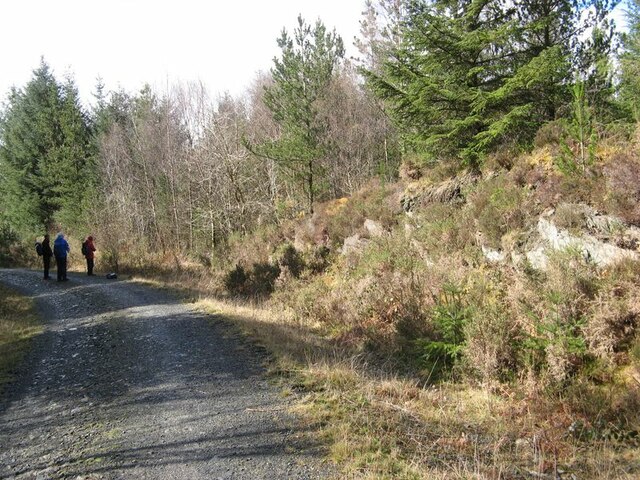
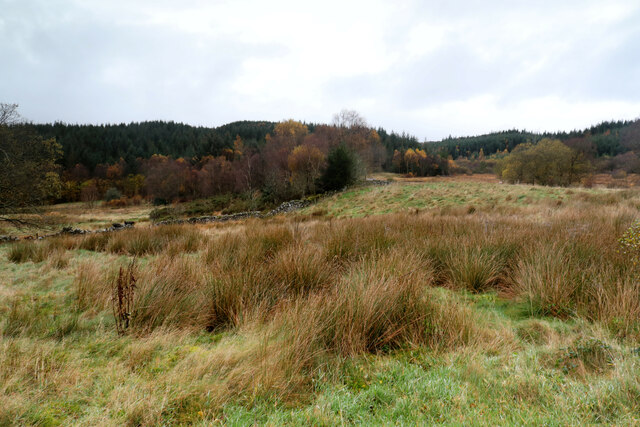
For outdoor enthusiasts, Coed Pencraig offers numerous walking trails that wind through the forest, providing opportunities to explore its natural beauty. The paths vary in difficulty, catering to both casual strollers and more experienced hikers. Along the trails, visitors can find benches and picnic areas, allowing them to take a break and soak in the tranquil surroundings.
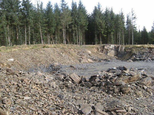
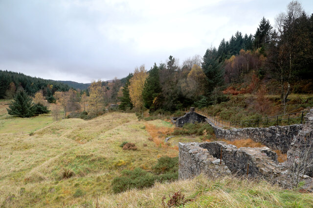
Coed Pencraig is not only a natural haven but also a place of historical significance. The forest is dotted with remnants of ancient settlements, including stone circles and burial mounds, offering a glimpse into the area's rich past.
Overall, Coed Pencraig is a must-visit destination for nature lovers, offering a captivating mix of natural beauty, diverse wildlife, and historical intrigue.
If you have any feedback on the listing, please let us know in the comments section below.
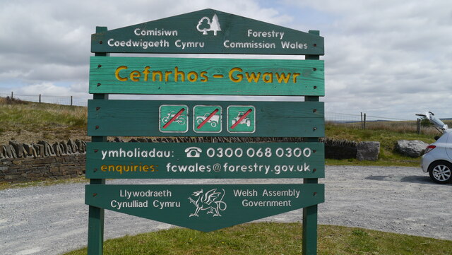
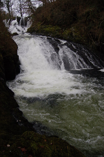
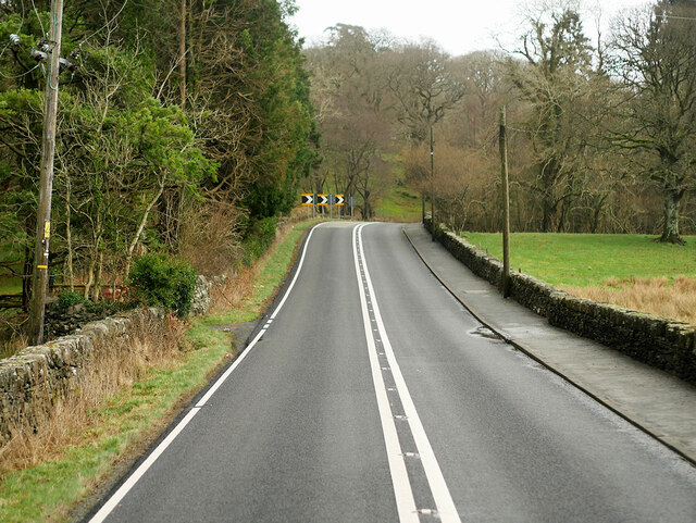
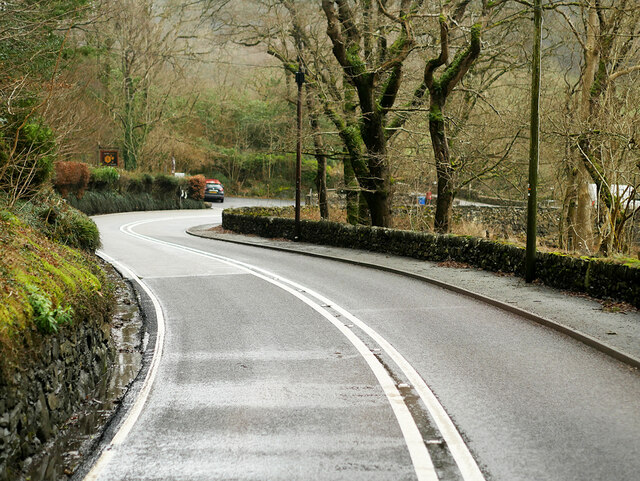
Coed Pencraig Images
Images are sourced within 2km of 53.104571/-3.8459607 or Grid Reference SH7657. Thanks to Geograph Open Source API. All images are credited.


Coed Pencraig is located at Grid Ref: SH7657 (Lat: 53.104571, Lng: -3.8459607)
Unitary Authority: Conwy
Police Authority: North Wales
What 3 Words
///replying.fractions.forensic. Near Betws-y-Coed, Conwy
Nearby Locations
Related Wikis
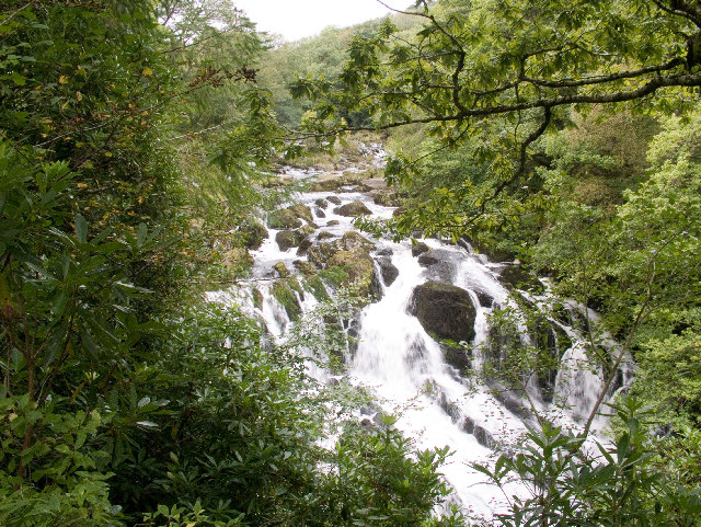
Swallow Falls
Swallow Falls is an English name for the Welsh Rhaeadr y Wennol, also known as Rhaeadr Ewynnol (English: 'the foaming waterfall'), a multiple waterfall...

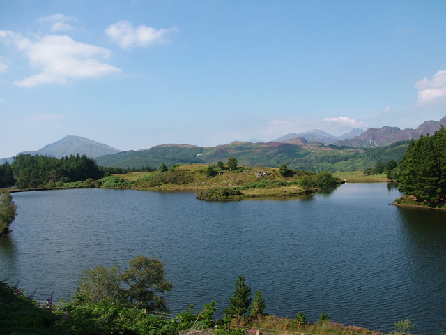
Llyn Goddionduon
Llyn Goddionduon is a remote lake in the Gwydir Forest in north Wales. It lies at a height of 794 ft (242 m) and covers an area of 10 acres (40,000 m2...

Llyn Bodgynydd
Llyn Bodgynydd is a lake in the Gwydir Forest in North Wales. It covers an area of some 14 acres (57,000 m2), and lies at a height of 822 feet (251 m)...
Caer Llugwy
Caer Llugwy, or Bryn-y-Gefeiliau, is the site of a Roman fort in a loop of the Afon Llugwy near Capel Curig in Conwy, Wales. It is notable in that there...
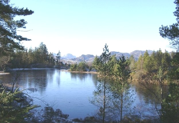
Llyn Glangors
Llyn Glangors is a lake in the Gwydir Forest in north Wales. It lies at a height of 900 ft (270 m) and covers an area of 15 acres (61,000 m2). An artificial...
Gwydir Forest
Gwydir Forest, also spelled Gwydyr, is located in Conwy county borough and the Snowdonia National Park in Wales. It takes its name from the ancient Gwydir...

Llyn Parc
Llyn Parc (also known as "Llyn y Parc") is a lake in the Gwydir Forest in North Wales. Lying at a height of 664 feet, it covers an area of 22 acres (89...

River Geirionydd
The River Geirionydd (Afon Geirionydd in Welsh) is a river in Snowdonia, North Wales. It is a tributary of the River Crafnant (Afon Crafnant), which flows...
Nearby Amenities
Located within 500m of 53.104571,-3.8459607Have you been to Coed Pencraig?
Leave your review of Coed Pencraig below (or comments, questions and feedback).