Coed Cae'n-y-coed
Wood, Forest in Caernarfonshire
Wales
Coed Cae'n-y-coed
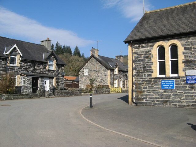
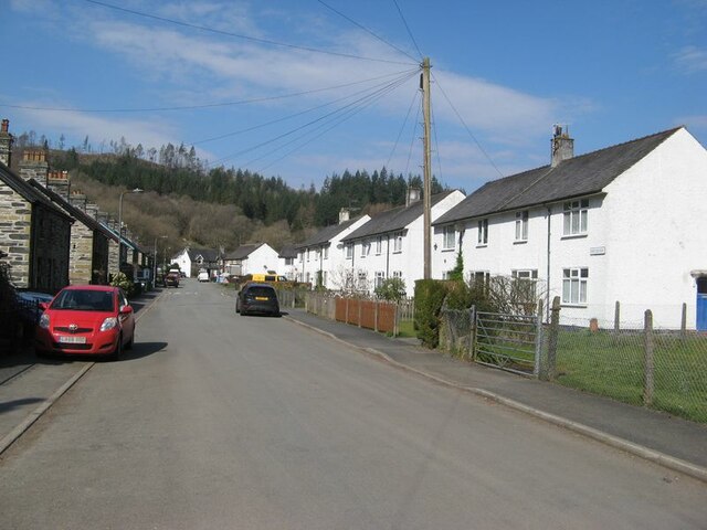
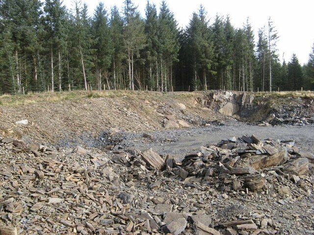
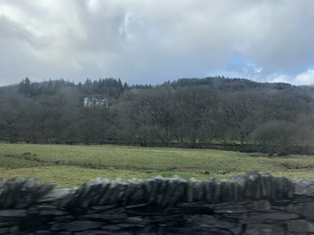
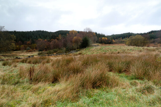
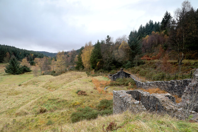
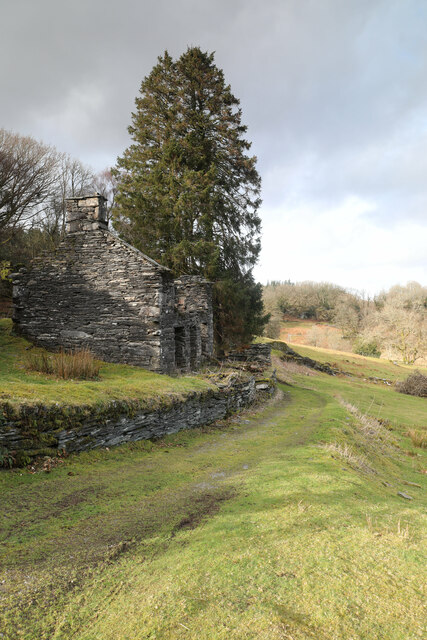
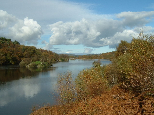
Coed Cae'n-y-coed is a beautiful woodland located in Caernarfonshire, Wales. Spanning over a vast area, it is known for its lush greenery, diverse flora, and serene atmosphere. The name "Coed Cae'n-y-coed" translates to "Wood, Forest" in English, which accurately represents its natural surroundings.
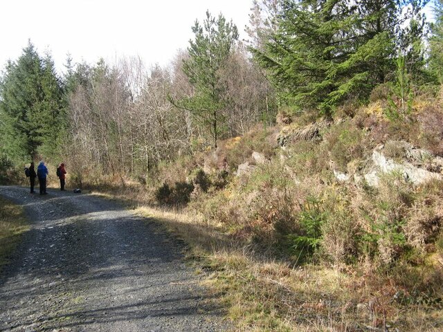
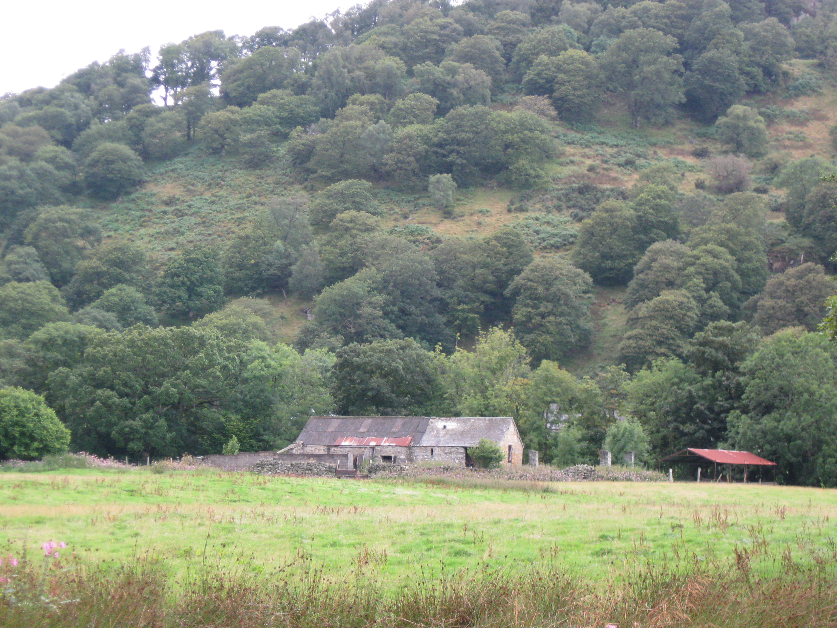
The woodland is characterized by a mix of broadleaf and coniferous trees, including oak, birch, beech, and pine. These trees provide a habitat for a wide range of wildlife, making Coed Cae'n-y-coed a haven for nature enthusiasts and wildlife photographers. Visitors can often spot various bird species, such as jays, woodpeckers, and owls, as well as small mammals like squirrels and foxes.
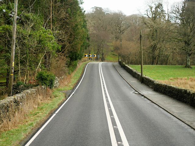
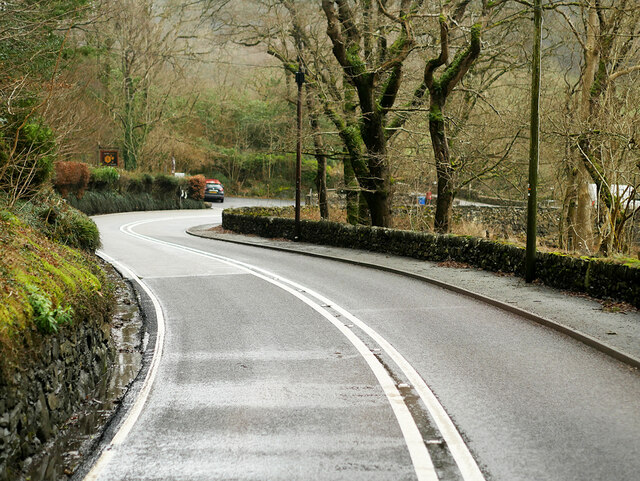
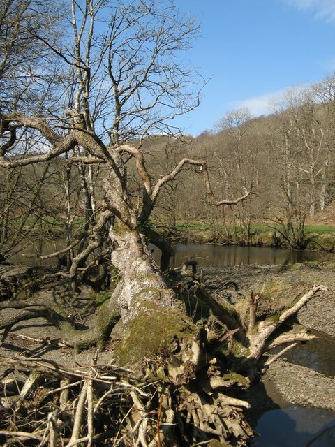
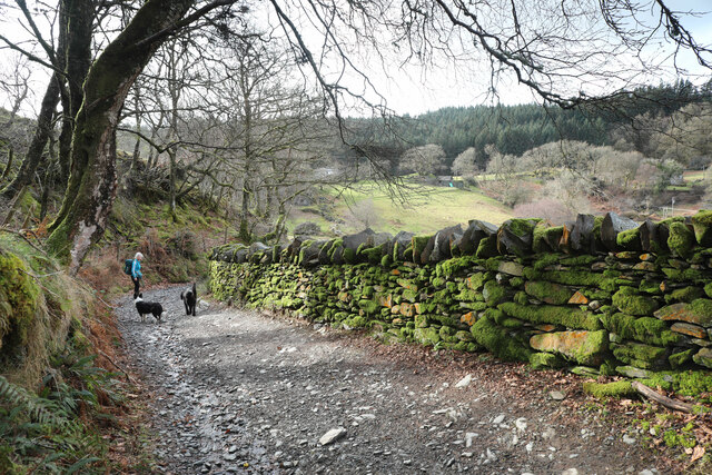
Walking trails crisscross through the woodland, offering visitors the opportunity to explore its beauty on foot. The paths lead to hidden gems, such as a picturesque stream that meanders through the forest, adding to the tranquility of the surroundings. The woodland is also home to several picnic areas, providing a perfect spot for visitors to relax and enjoy a meal amidst nature.
Coed Cae'n-y-coed is a popular destination for outdoor activities, including hiking, birdwatching, and photography. The changing seasons bring a different charm to the woodland, with vibrant autumn colors and blooming wildflowers in spring. The management of Coed Cae'n-y-coed focuses on preserving its natural beauty and promoting sustainable practices, ensuring that future generations can continue to appreciate its splendor.
In conclusion, Coed Cae'n-y-coed is a captivating woodland in Caernarfonshire, offering a serene escape into nature. Its diverse flora and fauna, coupled with well-maintained trails and picnic spots, make it a must-visit destination for anyone seeking a peaceful retreat amidst the beauty of Wales.
If you have any feedback on the listing, please let us know in the comments section below.
Coed Cae'n-y-coed Images
Images are sourced within 2km of 53.099327/-3.8438689 or Grid Reference SH7657. Thanks to Geograph Open Source API. All images are credited.


Coed Cae'n-y-coed is located at Grid Ref: SH7657 (Lat: 53.099327, Lng: -3.8438689)
Unitary Authority: Conwy
Police Authority: North Wales
What 3 Words
///should.rotate.escaping. Near Betws-y-Coed, Conwy
Nearby Locations
Related Wikis
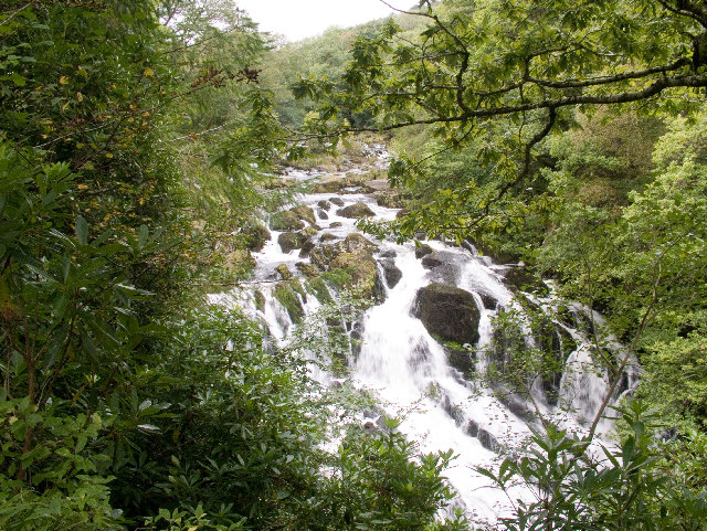
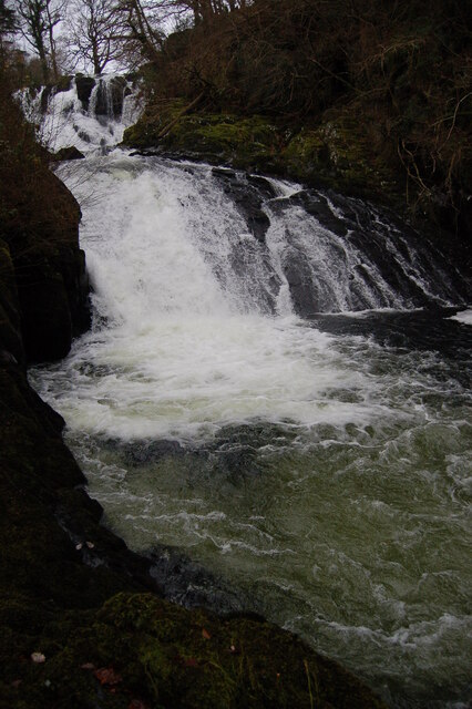
Swallow Falls
Swallow Falls is an English name for the Welsh Rhaeadr y Wennol, also known as Rhaeadr Ewynnol (English: 'the foaming waterfall'), a multiple waterfall...

Llyn Goddionduon
Llyn Goddionduon is a remote lake in the Gwydir Forest in north Wales. It lies at a height of 794 ft (242 m) and covers an area of 10 acres (40,000 m2...

Llyn Bodgynydd
Llyn Bodgynydd is a lake in the Gwydir Forest in North Wales. It covers an area of some 14 acres (57,000 m2), and lies at a height of 822 feet (251 m)...
Caer Llugwy
Caer Llugwy, or Bryn-y-Gefeiliau, is the site of a Roman fort in a loop of the Afon Llugwy near Capel Curig in Conwy, Wales. It is notable in that there...
Llyn Elsi
Llyn Elsi is a lake located above the village of Betws-y-coed in the Snowdonia National Park in North Wales. It is a reservoir providing water for the...

St Mary's Church, Betws-y-Coed
St Mary's Church, Betws-y-Coed, is in the village of Betws-y-Coed, Conwy, Wales. It is an active Anglican parish church of the Church in Wales, in the...

Llyn Parc
Llyn Parc (also known as "Llyn y Parc") is a lake in the Gwydir Forest in North Wales. Lying at a height of 664 feet, it covers an area of 22 acres (89...

Betws-y-Coed
Betws-y-coed (Welsh: [ˈbɛtʊs ə ˈkoːɨ̯d] ; meaning 'prayer-house in the wood') is a village and community in the Conwy valley in Conwy County Borough, Wales...
Nearby Amenities
Located within 500m of 53.099327,-3.8438689Have you been to Coed Cae'n-y-coed?
Leave your review of Coed Cae'n-y-coed below (or comments, questions and feedback).