Coed Blaen-y-glyn
Wood, Forest in Merionethshire
Wales
Coed Blaen-y-glyn

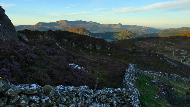
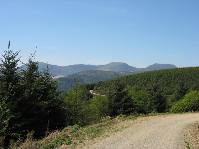
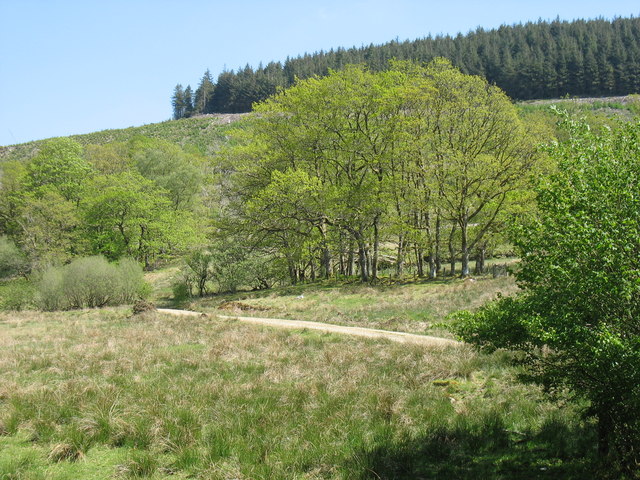
Coed Blaen-y-glyn is a picturesque woodland located in Merionethshire, Wales. With its dense canopy of trees and tranquil atmosphere, it is a haven for nature enthusiasts and those seeking a peaceful retreat.
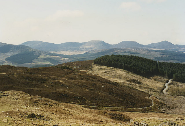
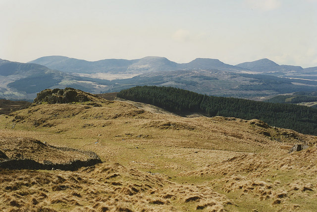
Covering an area of approximately 100 hectares, the woodland is dominated by a mix of deciduous and coniferous trees. Oak, beech, and birch trees create a stunning display of colors during autumn, while the towering pines provide shade and shelter year-round. The forest floor is blanketed with a rich carpet of moss, ferns, and wildflowers, adding to the enchanting beauty of the woodland.
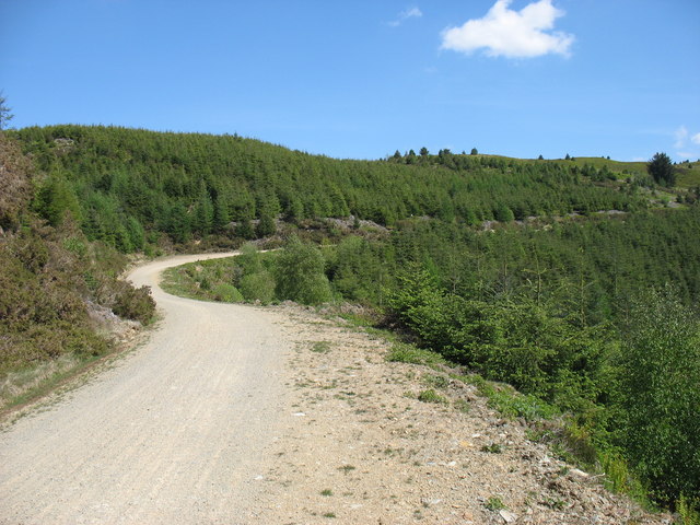
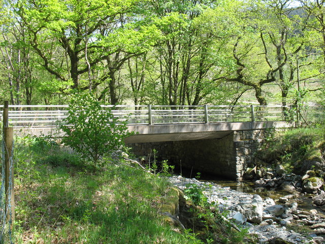
The wood is crisscrossed by a network of well-maintained footpaths, allowing visitors to explore its various sections and discover its hidden treasures. A highlight of Coed Blaen-y-glyn is the cascading waterfall, which provides a mesmerizing sight and soothing sound as it tumbles down a rocky slope.
The woodland is also home to a diverse range of wildlife. Birdwatchers can spot various species, including woodpeckers, warblers, and owls. Squirrels and badgers are commonly seen, while lucky visitors may even catch a glimpse of the elusive otters that inhabit the nearby river.
Coed Blaen-y-glyn is a popular destination for hikers, nature lovers, and families looking to reconnect with nature. The peaceful and serene environment, coupled with the breathtaking beauty of the woodland, makes it an ideal spot for relaxation and rejuvenation. Whether it's a leisurely stroll, a picnic by the waterfall, or simply enjoying the tranquility, Coed Blaen-y-glyn offers a memorable experience for all who visit.
If you have any feedback on the listing, please let us know in the comments section below.
Coed Blaen-y-glyn Images
Images are sourced within 2km of 52.819047/-3.8340416 or Grid Reference SH7626. Thanks to Geograph Open Source API. All images are credited.


Coed Blaen-y-glyn is located at Grid Ref: SH7626 (Lat: 52.819047, Lng: -3.8340416)
Unitary Authority: Gwynedd
Police Authority: North Wales
What 3 Words
///solve.stopwatch.spindles. Near Bronaber, Gwynedd
Nearby Locations
Related Wikis

Merionethshire
Merionethshire or Merioneth (Welsh: Meirionnydd or Sir Feirionnydd) is one of thirteen historic counties of Wales, a vice county and a former administrative...
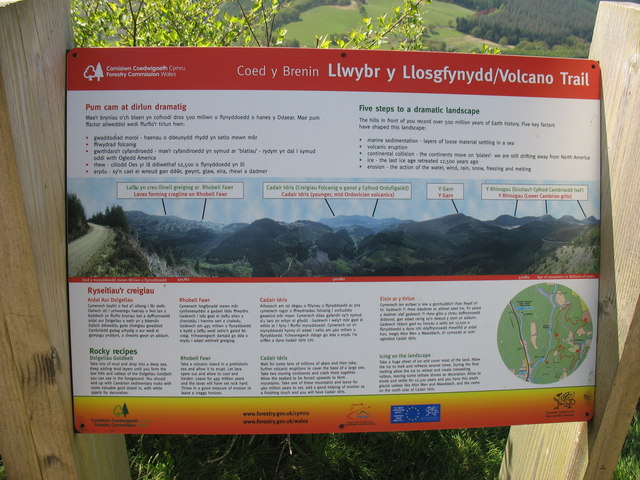
Rhobell Fawr
Rhobell Fawr is the site of an ancient volcano that was active during the Early Ordovician period in the Arenig range within the Snowdonia National Park...
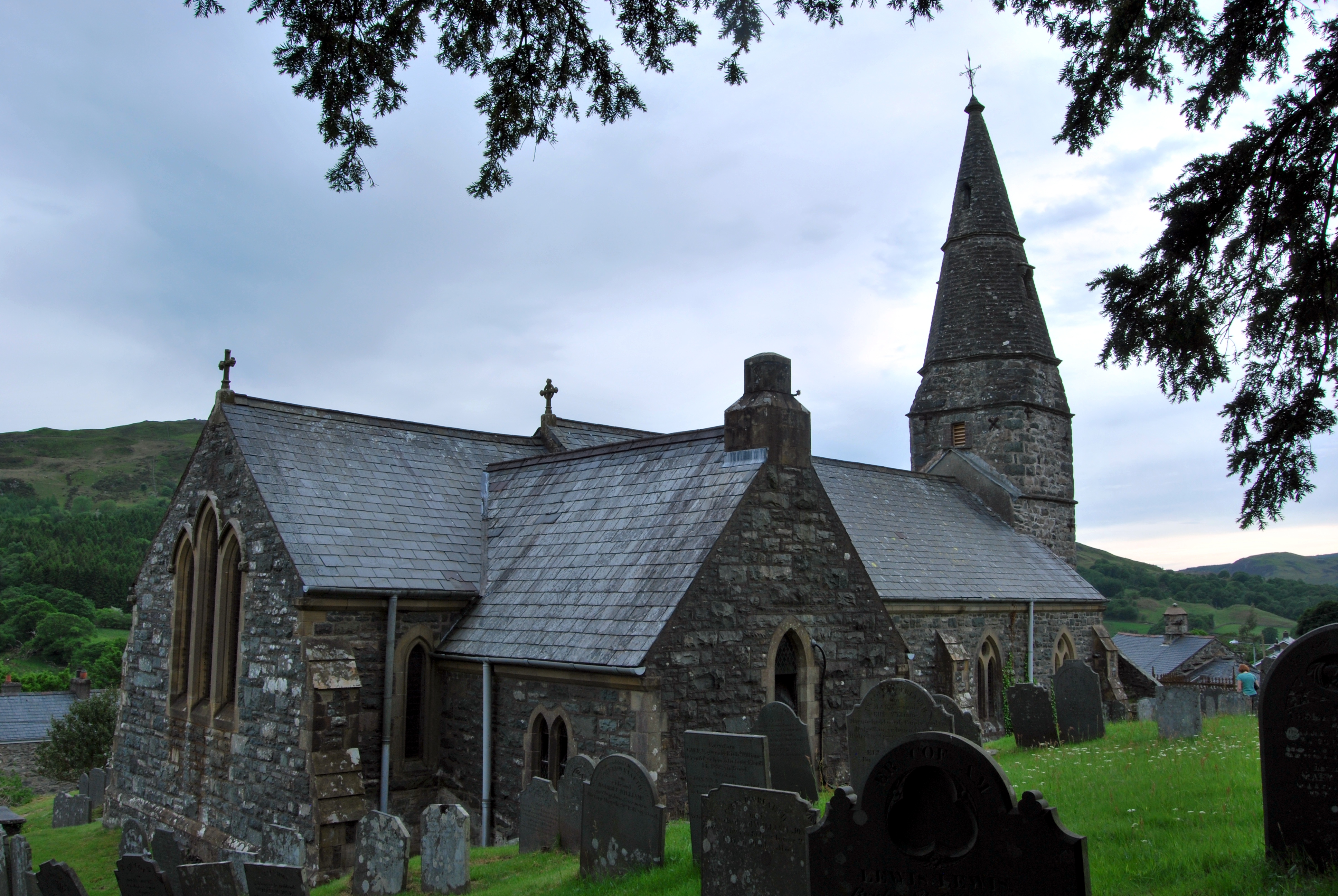
Abergeirw
Abergeirw is a hamlet located in Gwynedd, North Wales. The village of nine properties is located between Dolgellau and Trawsfynydd. On 19 December 2008...

Pistyll Cain
Pistyll Cain, also written as Pistill Cain and Pistill Y Caen, is a renowned waterfall in Meirionnydd (Sir Feirionnydd) in north Wales. It lies north-east...
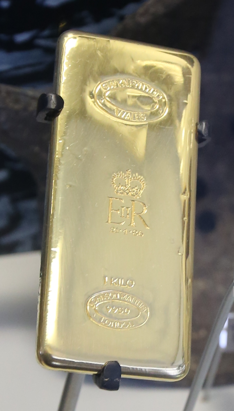
Gwynfynydd Gold Mine
Gwynfynydd Gold Mine is near Ganllwyd, Dolgellau, Gwynedd, Wales. The lode, which was discovered in 1860, was worked from 1884. It has produced more than...
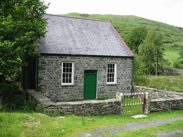
Llanfachreth
Llanfachreth is a settlement approximately three miles north-east of Dolgellau, Gwynedd, in the community of Brithdir and Llanfachreth within the historic...

Ganllwyd
Ganllwyd is a small village and community in southern Gwynedd, Wales. It lies in the Snowdonia National Park to the north of Dolgellau. A470 passes through...

Dolmelynllyn Estate
Dolmelynllyn Estate is an area of farmland, woodland and parkland near the village of Ganllwyd in southern Gwynedd, Wales. It is owned by the National...
Have you been to Coed Blaen-y-glyn?
Leave your review of Coed Blaen-y-glyn below (or comments, questions and feedback).