Allt Gôch
Wood, Forest in Merionethshire
Wales
Allt Gôch
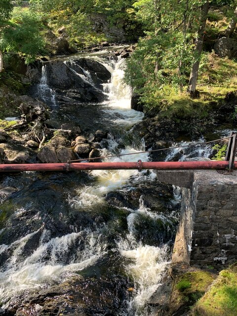
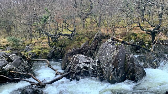
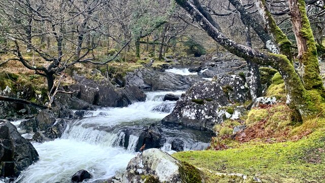
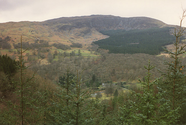
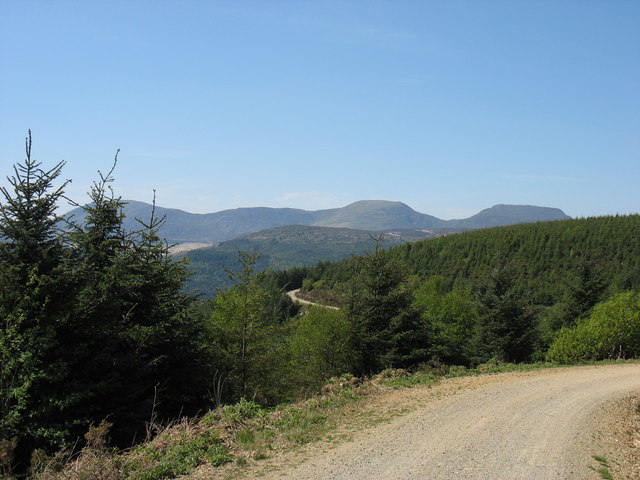
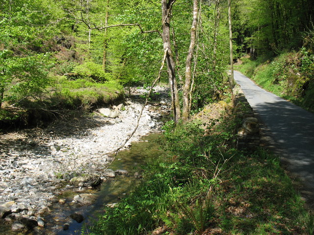
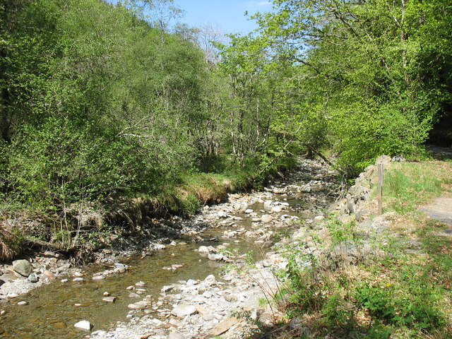
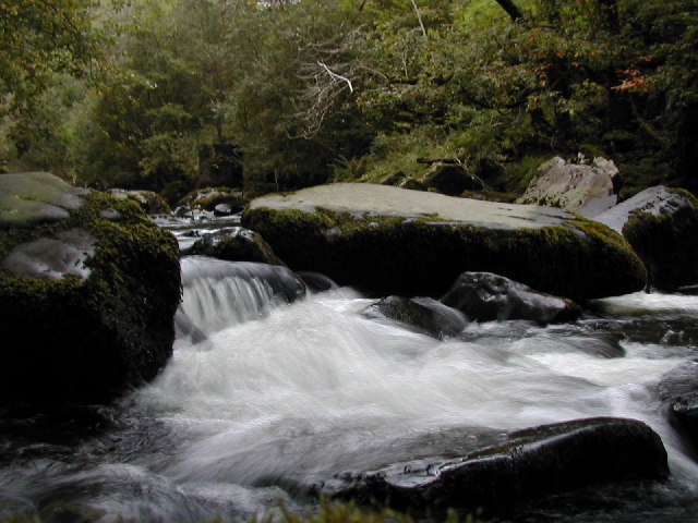
Allt Gôch, located in Merionethshire, Wales, is a picturesque woodland area known for its natural beauty and diverse range of flora and fauna. Nestled within the Snowdonia National Park, this wood is a haven for nature enthusiasts and those seeking tranquility in the heart of the Welsh countryside.
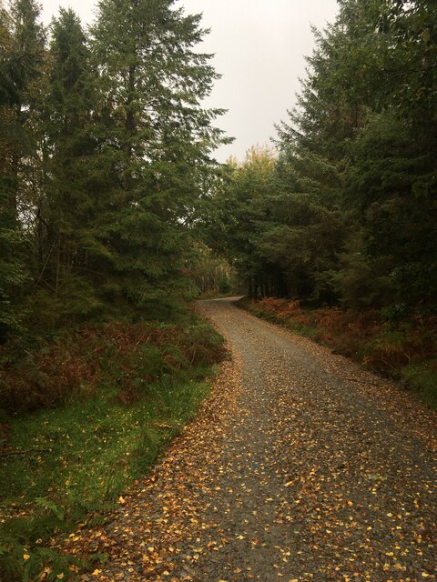
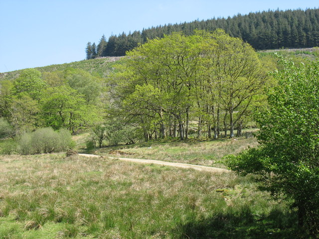
Covering an area of approximately 50 hectares, Allt Gôch is primarily composed of deciduous trees, including oak, beech, and birch. The wood is characterized by its dense canopy, which provides a shaded and cool environment, particularly during the summer months. This creates an ideal habitat for a variety of wildlife, including red squirrels, badgers, foxes, and a rich assortment of bird species.
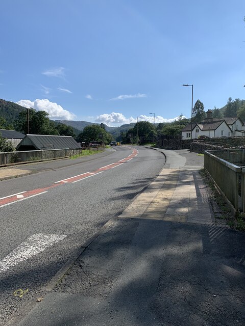
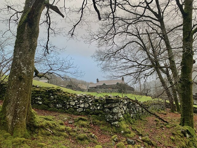
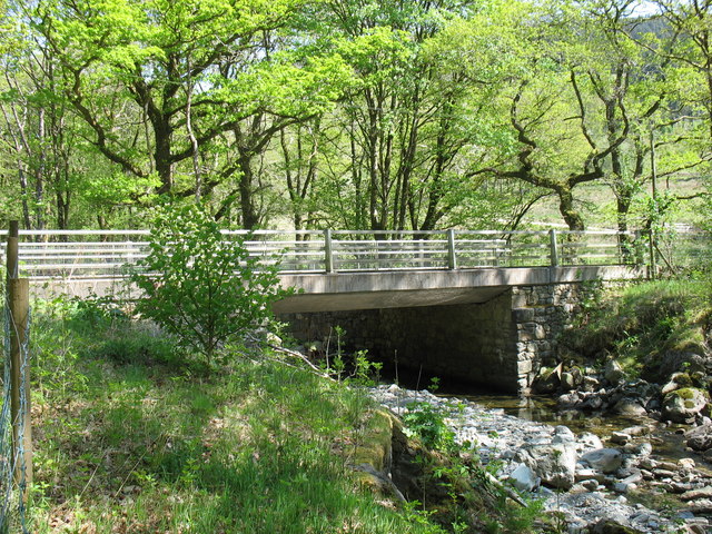
The woodland is crisscrossed by a network of walking trails, allowing visitors to explore its beauty at their own pace. These paths meander through the trees, offering glimpses of babbling brooks, wildflowers, and moss-covered rocks. Additionally, there are several viewpoints throughout the wood that provide breathtaking vistas of the surrounding countryside and distant mountains.
Allt Gôch has been designated as a Site of Special Scientific Interest (SSSI) due to its importance in preserving the local ecosystem and protecting rare species. It is also recognized as a Special Area of Conservation (SAC), emphasizing its conservation value at a European level.
With its natural charm and abundant wildlife, Allt Gôch offers visitors a chance to immerse themselves in the beauty of nature and experience the tranquility of the Welsh woodlands. Whether it's a leisurely stroll, bird-watching, or simply enjoying the peaceful atmosphere, Allt Gôch is a must-visit destination for nature lovers and those seeking an escape from the hustle and bustle of everyday life.
If you have any feedback on the listing, please let us know in the comments section below.
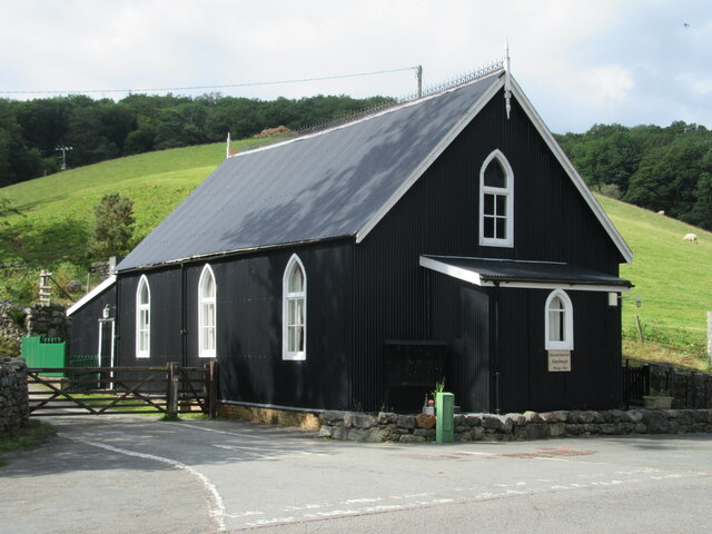
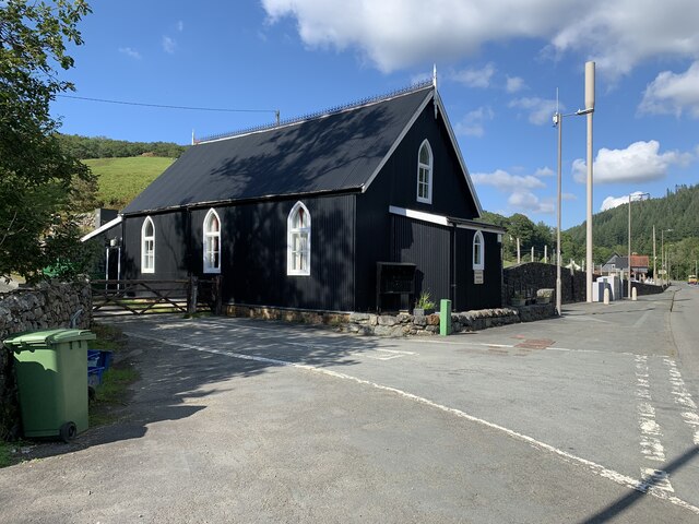
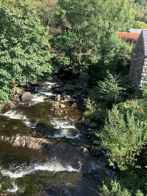
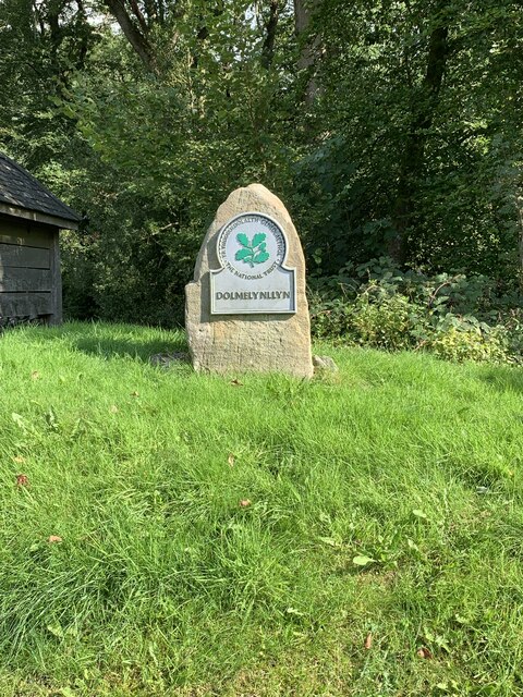
Allt Gôch Images
Images are sourced within 2km of 52.804035/-3.8644601 or Grid Reference SH7424. Thanks to Geograph Open Source API. All images are credited.
Allt Gôch is located at Grid Ref: SH7424 (Lat: 52.804035, Lng: -3.8644601)
Unitary Authority: Gwynedd
Police Authority: North Wales
What 3 Words
///stiffly.elsewhere.reclaim. Near Dolgellau, Gwynedd
Nearby Locations
Related Wikis

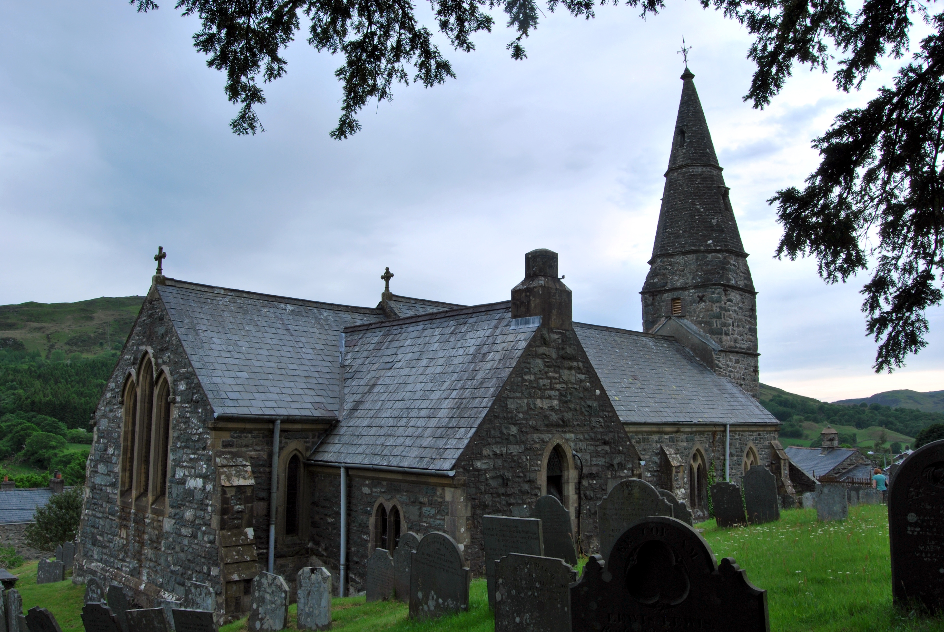
Ganllwyd
Ganllwyd is a small village and community in southern Gwynedd, Wales. It lies in the Snowdonia National Park to the north of Dolgellau. A470 passes through...

Dolmelynllyn Estate
Dolmelynllyn Estate is an area of farmland, woodland and parkland near the village of Ganllwyd in southern Gwynedd, Wales. It is owned by the National...
Llanfachreth
Llanfachreth is a settlement approximately three miles north-east of Dolgellau, Gwynedd, in the community of Brithdir and Llanfachreth within the historic...
Afon Eden
Afon Eden is a tributary river than runs into the Afon Mawddach in Gwynedd, Wales. It is a protected river because it is one of the few breeding grounds...
Nearby Amenities
Located within 500m of 52.804035,-3.8644601Have you been to Allt Gôch?
Leave your review of Allt Gôch below (or comments, questions and feedback).