Gallt Dôl-frwynog
Hill, Mountain in Merionethshire
Wales
Gallt Dôl-frwynog
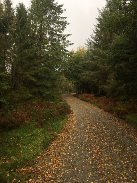
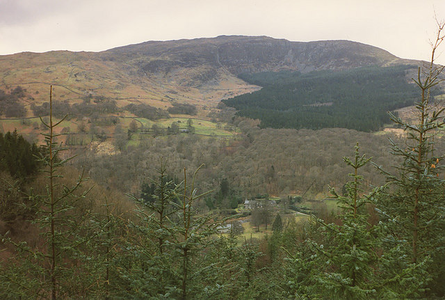
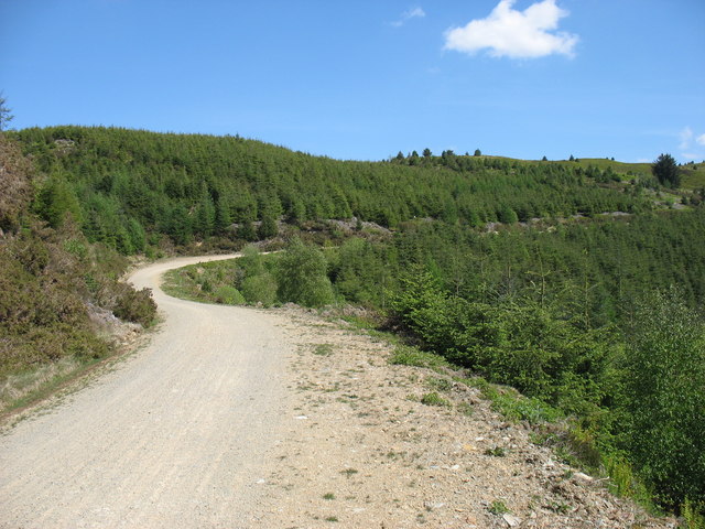
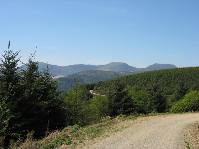
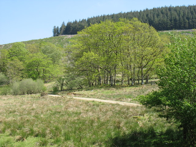
Gallt Dôl-frwynog is a prominent hill located in Merionethshire, Wales. It is situated within the Snowdonia National Park, offering stunning panoramic views of the surrounding landscape. The hill stands at an elevation of approximately 2,224 feet (678 meters) above sea level, making it a popular destination for hikers and outdoor enthusiasts.
The terrain of Gallt Dôl-frwynog is rugged and rocky, with steep slopes and challenging ascents that appeal to experienced hikers looking for a more strenuous climb. The hill is known for its diverse flora and fauna, with heather, grasses, and wildflowers covering the slopes, and various bird species inhabiting the area.
Visitors to Gallt Dôl-frwynog can enjoy a variety of outdoor activities, including hiking, birdwatching, and photography. The hill is also a great spot for picnicking and taking in the breathtaking views of the surrounding valleys and mountains.
Overall, Gallt Dôl-frwynog is a beautiful and remote hill in Merionethshire, offering a rugged and challenging outdoor experience for those looking to explore the natural beauty of Wales.
If you have any feedback on the listing, please let us know in the comments section below.
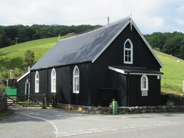
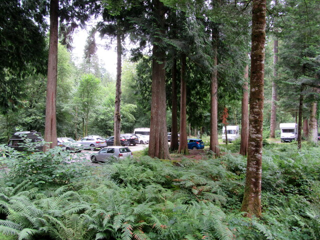
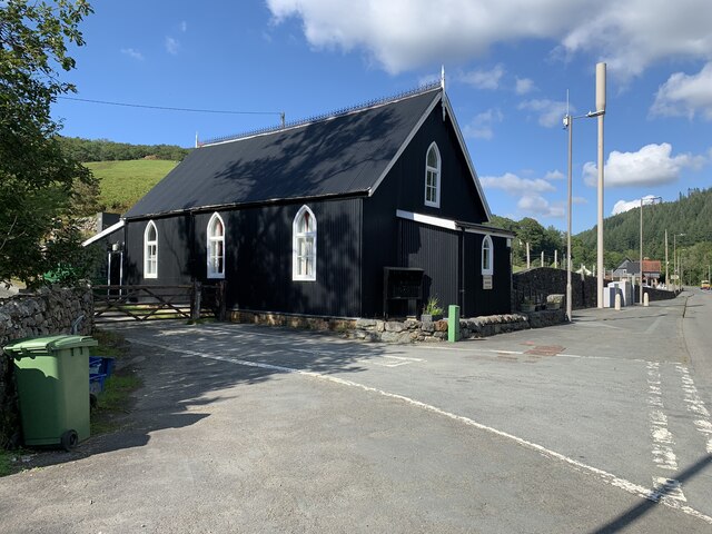
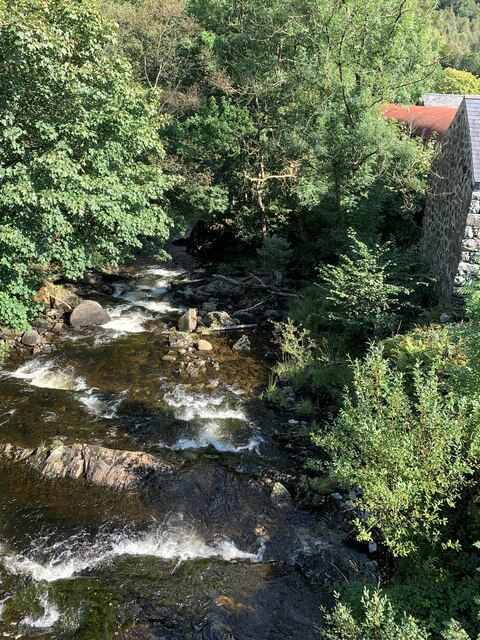
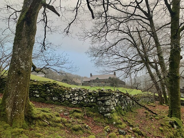
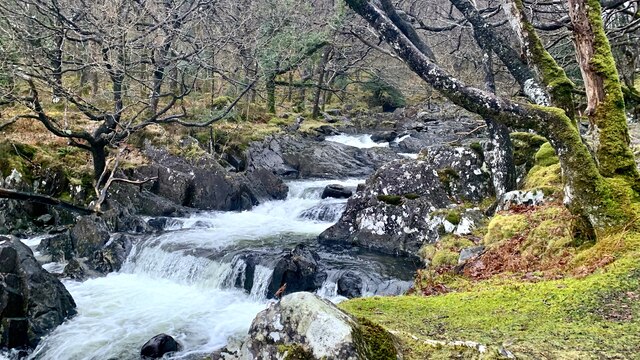
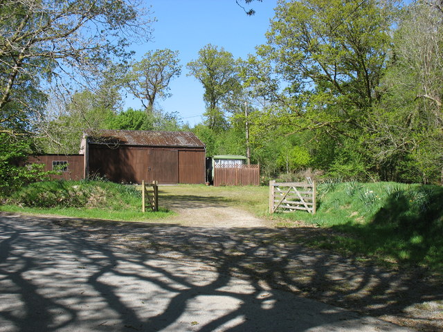
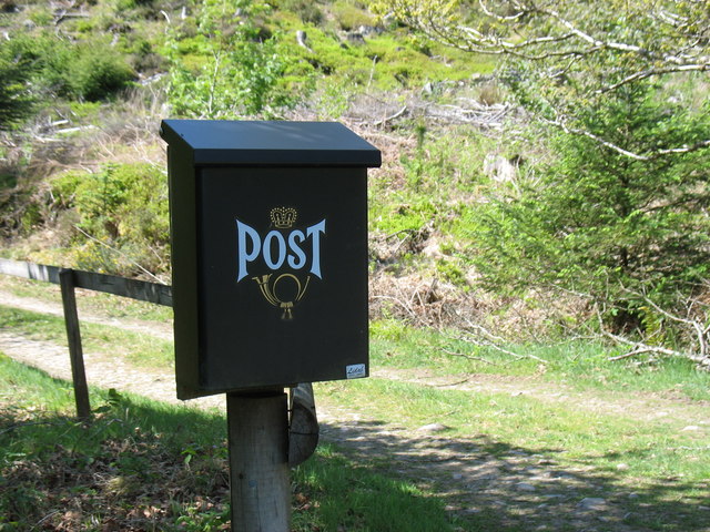
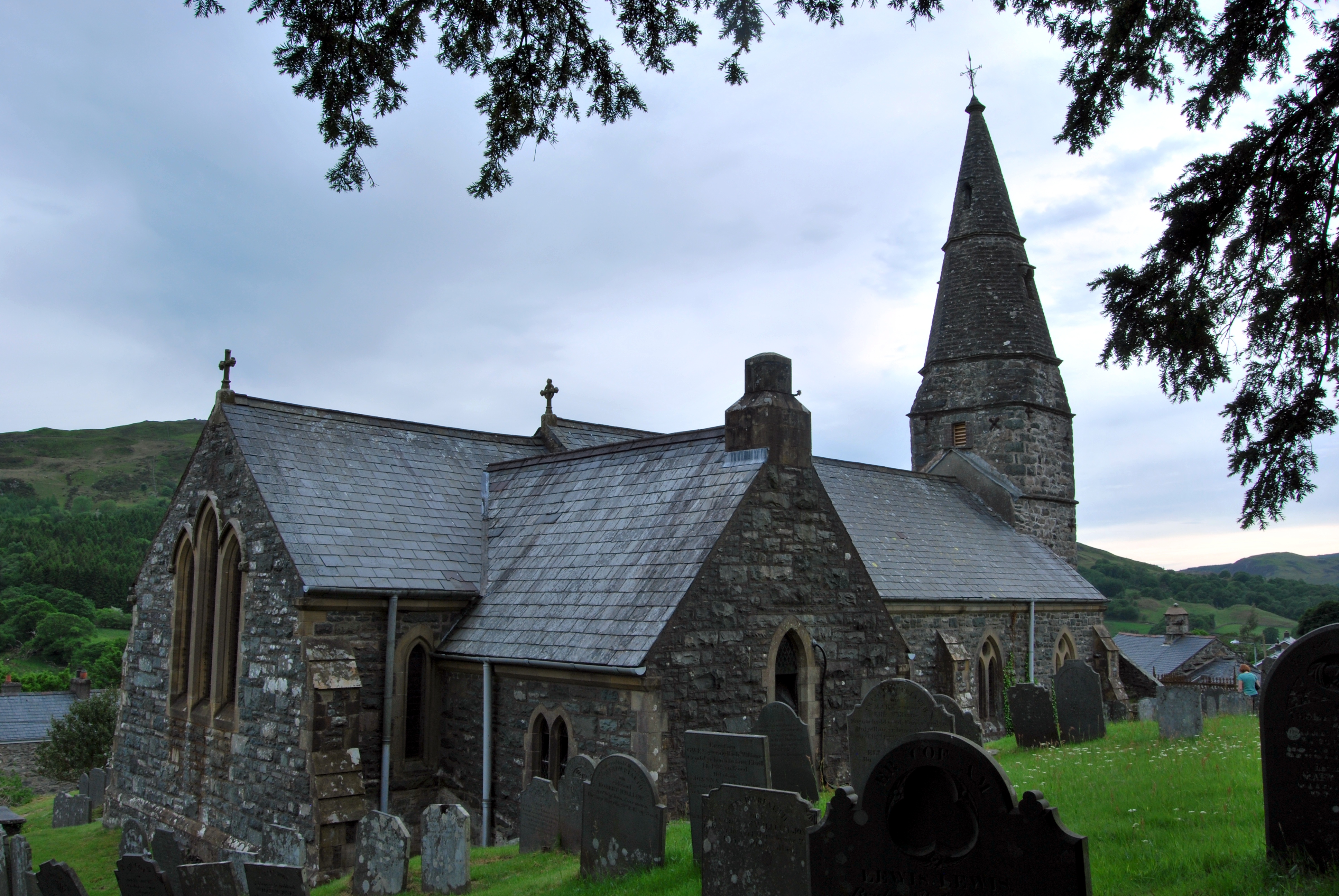
Gallt Dôl-frwynog Images
Images are sourced within 2km of 52.80717/-3.8646387 or Grid Reference SH7424. Thanks to Geograph Open Source API. All images are credited.
Gallt Dôl-frwynog is located at Grid Ref: SH7424 (Lat: 52.80717, Lng: -3.8646387)
Unitary Authority: Gwynedd
Police Authority: North Wales
What 3 Words
///chosen.bookings.drivers. Near Dolgellau, Gwynedd
Nearby Locations
Related Wikis

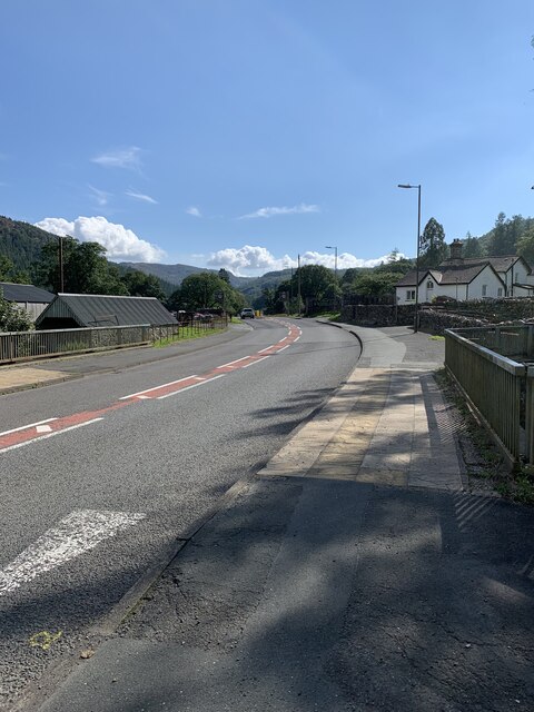
Ganllwyd
Ganllwyd is a small village and community in southern Gwynedd, Wales. It lies in the Snowdonia National Park to the north of Dolgellau. A470 passes through...

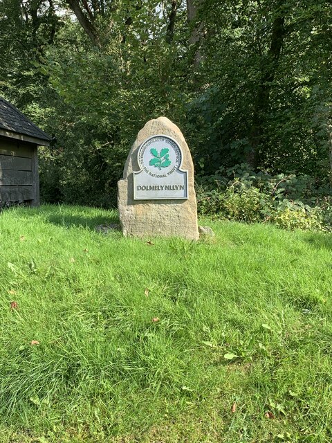
Dolmelynllyn Estate
Dolmelynllyn Estate is an area of farmland, woodland and parkland near the village of Ganllwyd in southern Gwynedd, Wales. It is owned by the National...
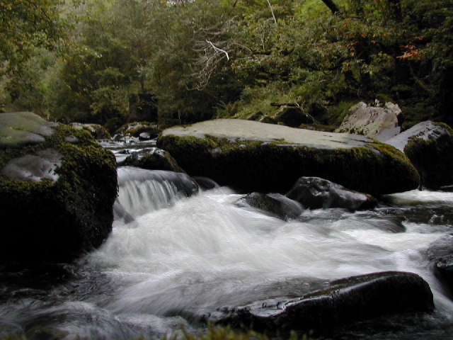
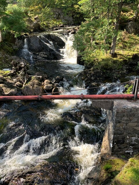
Afon Eden
Afon Eden is a tributary river than runs into the Afon Mawddach in Gwynedd, Wales. It is a protected river because it is one of the few breeding grounds...
Llanfachreth
Llanfachreth is a settlement approximately three miles north-east of Dolgellau, Gwynedd, in the community of Brithdir and Llanfachreth within the historic...
Nearby Amenities
Located within 500m of 52.80717,-3.8646387Have you been to Gallt Dôl-frwynog?
Leave your review of Gallt Dôl-frwynog below (or comments, questions and feedback).