Coed Cwmtawe
Wood, Forest in Glamorgan
Wales
Coed Cwmtawe
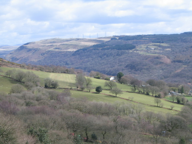
Coed Cwmtawe, located in Glamorgan, Wales, is a picturesque wood or forest that spans over a vast area. With its stunning natural beauty and rich biodiversity, it is a popular destination for nature enthusiasts and outdoor adventurers alike.
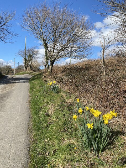
The woodland is nestled in the valley of the River Tawe, surrounded by rolling hills and scenic landscapes. It boasts a diverse range of tree species, including oak, beech, ash, and birch, creating a tapestry of colors throughout the seasons. The forest floor is blanketed with vibrant wildflowers and mosses, adding to the enchanting atmosphere.
Coed Cwmtawe is home to a plethora of wildlife, making it a haven for bird watchers and animal lovers. Visitors may catch a glimpse of various bird species such as woodpeckers, owls, and wrens, or spot elusive mammals like foxes, badgers, and deer. The woodland is also teeming with smaller creatures like squirrels, rabbits, and a variety of insects.
For those seeking outdoor activities, Coed Cwmtawe offers a network of well-maintained walking trails, allowing visitors to explore the forest's hidden treasures. The paths wind through the woods, revealing breathtaking viewpoints, cascading streams, and charming picnic spots. Nature lovers can also enjoy camping, photography, or simply immersing themselves in the tranquility of the forest.
Coed Cwmtawe's accessibility and natural beauty make it a popular destination for locals and tourists alike. Its preservation and conservation efforts ensure that future generations can continue to enjoy this remarkable woodland retreat.
If you have any feedback on the listing, please let us know in the comments section below.
Coed Cwmtawe Images
Images are sourced within 2km of 51.734231/-3.8196437 or Grid Reference SN7405. Thanks to Geograph Open Source API. All images are credited.


Coed Cwmtawe is located at Grid Ref: SN7405 (Lat: 51.734231, Lng: -3.8196437)
Unitary Authority: Neath Port Talbot
Police Authority: South Wales
What 3 Words
///cyber.fluctuate.months. Near Ystalyfera, Neath Port Talbot
Nearby Locations
Related Wikis
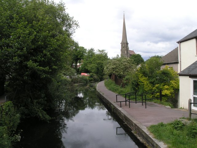
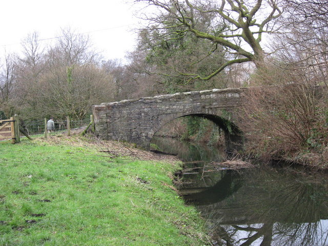
Swansea Canal
The Swansea Canal (Welsh: Camlas Abertawe) was a canal constructed by the Swansea Canal Navigation Company between 1794 and 1798, running for 16.5 miles...

Tarenni Colliery
The Tarenni Colliery (Welsh: Gloddfa Tarenni) and its associated workings, are a series of coal mines and pits located between the villages of Godre'r...
Godre'r Graig
Godre'r Graig is a village and an electoral ward of Neath Port Talbot county borough, Wales. The village developed alongside the coal workings at the Tarenni...
Gleision Colliery mining accident
The Gleision Colliery mining accident was a mining accident which occurred on 15 September 2011 at the Gleision Colliery, a drift mine at Cilybebyll in...
Nearby Amenities
Located within 500m of 51.734231,-3.8196437Have you been to Coed Cwmtawe?
Leave your review of Coed Cwmtawe below (or comments, questions and feedback).