Allt Friog
Wood, Forest in Merionethshire
Wales
Allt Friog
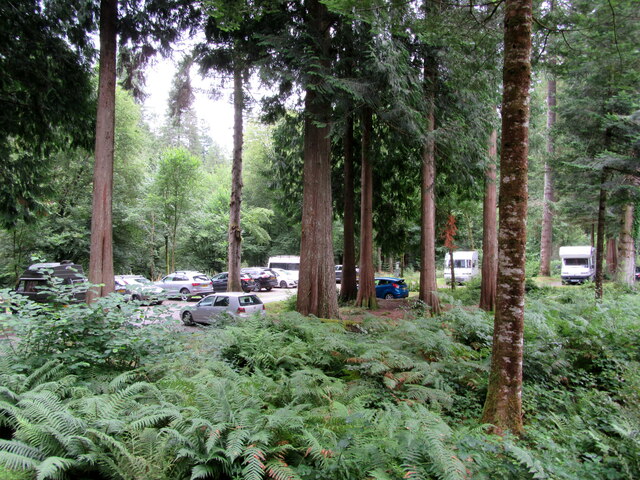
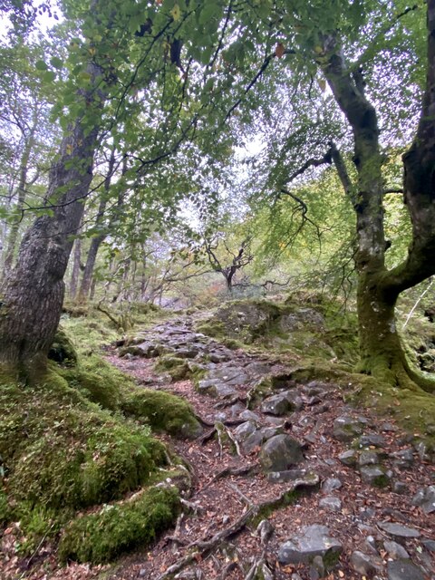
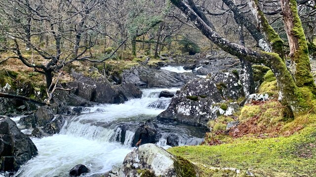
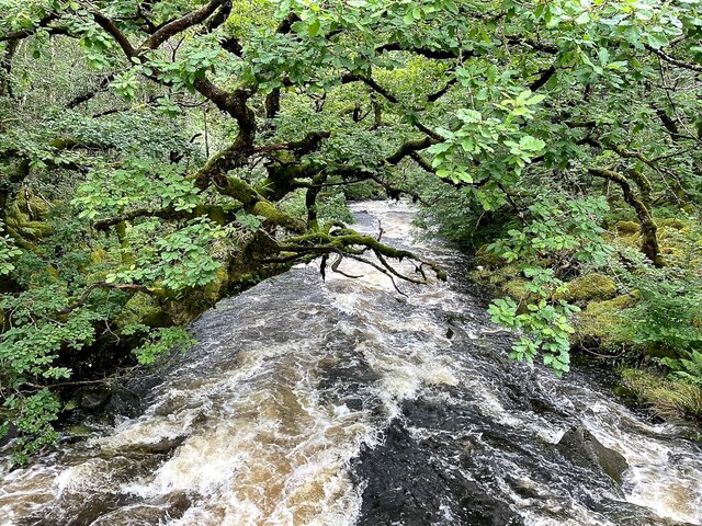
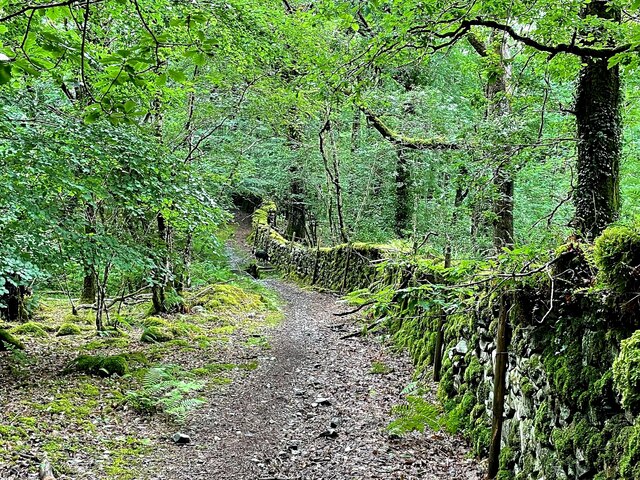
Allt Friog is a wood located in Merionethshire, Wales. Situated near the village of Friog, it covers an area of approximately 200 acres. The wood is primarily composed of mature broadleaf trees, including oak, beech, and ash. The lush foliage creates a dense canopy, providing a habitat for a diverse range of wildlife.
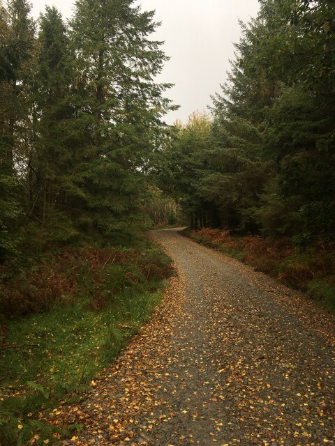
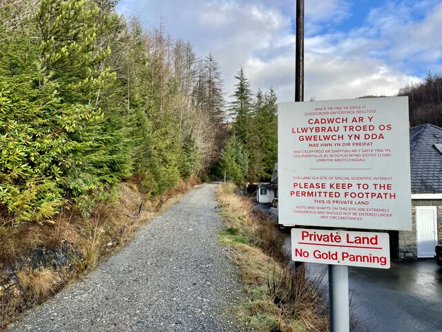
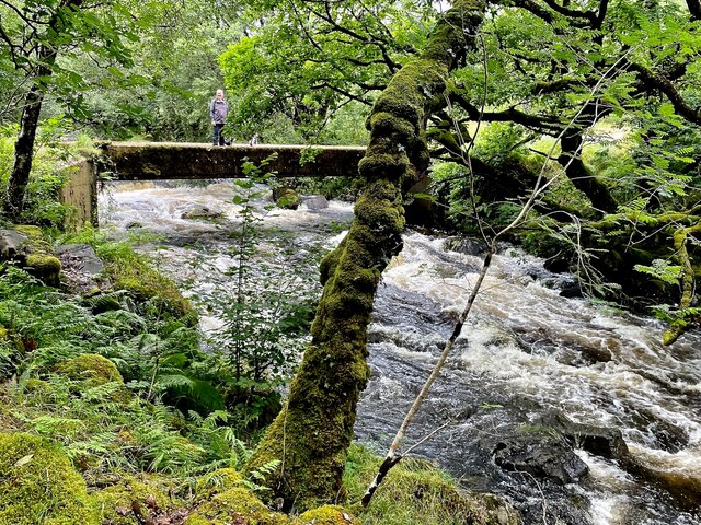
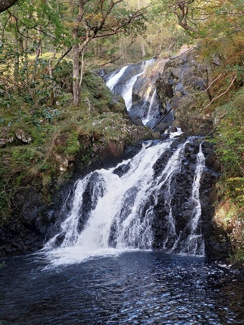
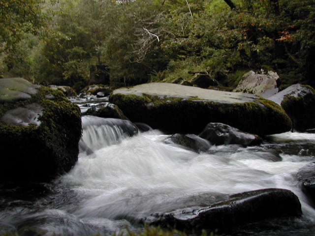
Allt Friog is known for its scenic beauty and tranquil atmosphere, attracting nature enthusiasts and hikers alike. The wood is crisscrossed by a network of well-maintained footpaths, allowing visitors to explore its natural wonders. The paths wind through the trees, offering glimpses of the surrounding countryside and the nearby Mawddach Estuary.
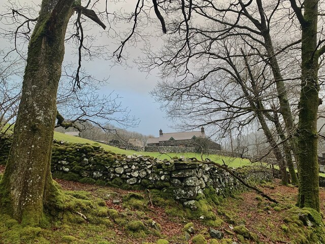
The wood holds historical significance, as it was once part of the estate of Cors-y-gedol Hall, a 17th-century manor house. The remnants of the estate can still be seen within Allt Friog, including the remains of an old walled garden and a stone bridge.
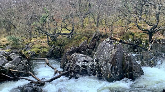
In addition to its natural and historical value, Allt Friog is an important site for conservation. It is home to a variety of rare and protected species, such as red squirrels, dormice, and various birds, including the pied flycatcher and the redstart. Efforts have been made to maintain and enhance the biodiversity of the wood, with ongoing conservation projects and tree planting initiatives.
Overall, Allt Friog is an enchanting woodland that offers visitors a chance to immerse themselves in nature, discover its history, and appreciate its ecological significance.
If you have any feedback on the listing, please let us know in the comments section below.
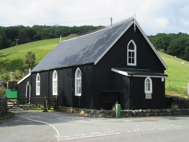
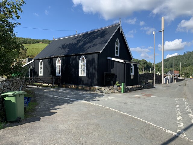
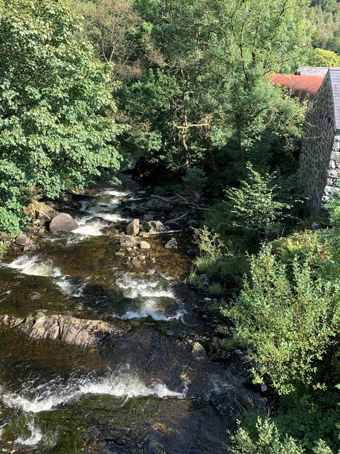
Allt Friog Images
Images are sourced within 2km of 52.805684/-3.8824229 or Grid Reference SH7324. Thanks to Geograph Open Source API. All images are credited.
Allt Friog is located at Grid Ref: SH7324 (Lat: 52.805684, Lng: -3.8824229)
Unitary Authority: Gwynedd
Police Authority: North Wales
What 3 Words
///tent.fulfilled.nappy. Near Dolgellau, Gwynedd
Nearby Locations
Related Wikis

Ganllwyd
Ganllwyd is a small village and community in southern Gwynedd, Wales. It lies in the Snowdonia National Park to the north of Dolgellau. A470 passes through...

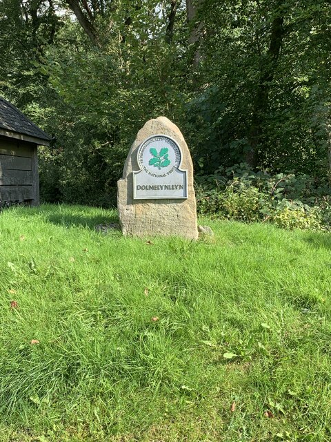
Dolmelynllyn Estate
Dolmelynllyn Estate is an area of farmland, woodland and parkland near the village of Ganllwyd in southern Gwynedd, Wales. It is owned by the National...
Afon Eden
Afon Eden is a tributary river than runs into the Afon Mawddach in Gwynedd, Wales. It is a protected river because it is one of the few breeding grounds...

Coed Ganllwyd National Nature Reserve
Coed Ganllwyd National Nature Reserve is situated behind the village of Ganllwyd on the A470, about 9 kilometres north of Dolgellau in Wales, United Kingdom...

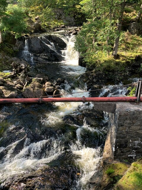
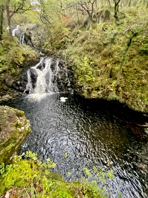
Pistyll Cain
Pistyll Cain, also written as Pistill Cain and Pistill Y Caen, is a renowned waterfall in Meirionnydd (Sir Feirionnydd) in north Wales. It lies north-east...

Coed-y-Brenin
Coed y Brenin (Welsh for King's Forest) is a forest in the Snowdonia National Park, North Wales near Dolgellau at grid reference SH7127. It is popular...
Llanfachreth
Llanfachreth is a settlement approximately three miles north-east of Dolgellau, Gwynedd, in the community of Brithdir and Llanfachreth within the historic...

Y Garn (Rhinogydd)
For other hills of the same name, see Y Garn (disambiguation). Y Garn is a mountain in the southern Snowdonia, Wales, north of Dolgellau. It is an outlier...
Nearby Amenities
Located within 500m of 52.805684,-3.8824229Have you been to Allt Friog?
Leave your review of Allt Friog below (or comments, questions and feedback).