Allet

Settlement in Cornwall

England

Allet

The A30 Two heavy-duty farm vehicles slow things down at Marazanvose.
The A30 Credit: Robert Ashby

Allet is a small village located in the county of Cornwall, England. Situated just 4 miles northwest of Truro, it is nestled within the beautiful countryside of the region. The village is part of the civil parish of Kenwyn and is surrounded by lush green fields and rolling hills.

With its picturesque setting, Allet offers a peaceful and idyllic escape from the hustle and bustle of city life. The village is characterized by its charming cottages, some of which date back several centuries, giving it a distinct historic feel. Despite its small size, Allet boasts a strong sense of community, with friendly locals and welcoming atmosphere.

While Allet itself may not have many amenities, its close proximity to Truro ensures that residents and visitors have easy access to a range of services and facilities. Truro, known as Cornwall's capital, offers a wide variety of shops, restaurants, and entertainment options.

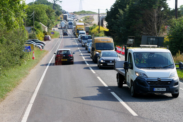
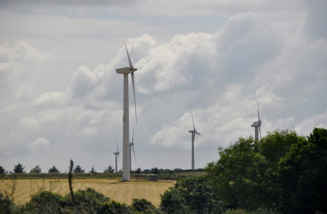
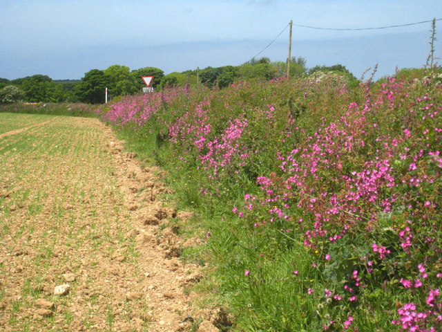
For those who enjoy outdoor activities, Allet is surrounded by numerous walking and cycling trails, providing ample opportunities to explore the stunning countryside. The village also benefits from being near the beautiful Cornish coast, with several picturesque beaches just a short drive away.

In summary, Allet is a quaint and peaceful village in Cornwall, offering a tranquil escape with its beautiful surroundings and close proximity to Truro's amenities. It is an ideal destination for those seeking a rural retreat in the heart of the stunning Cornish countryside.

If you have any feedback on the listing, please let us know in the comments section below.
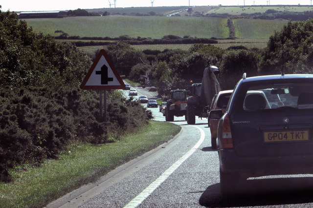
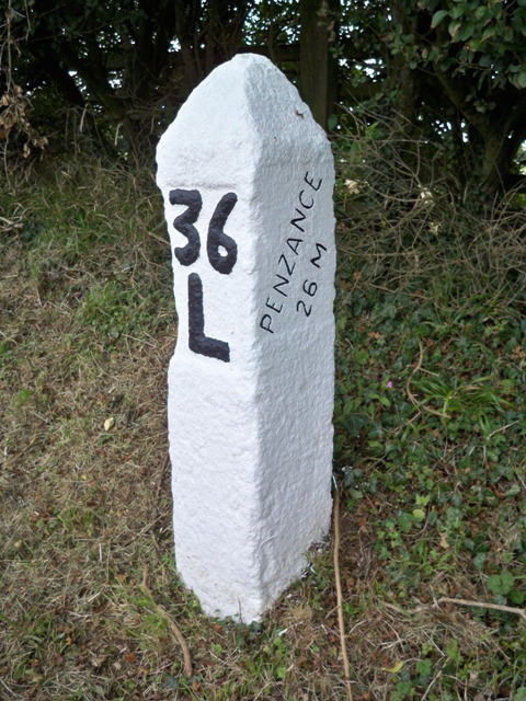
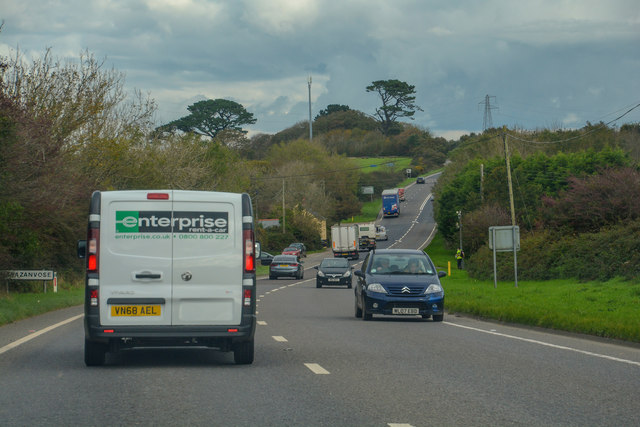
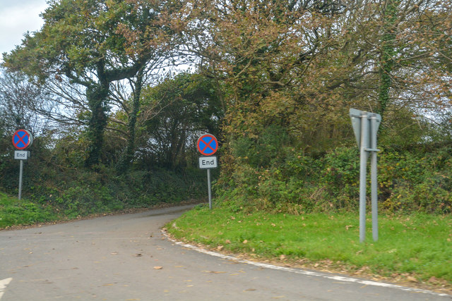
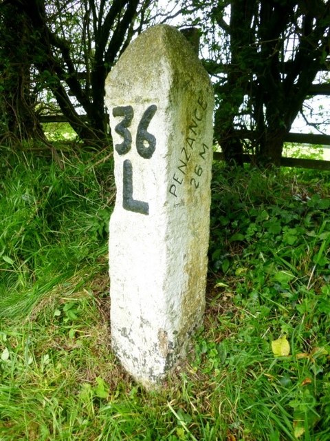
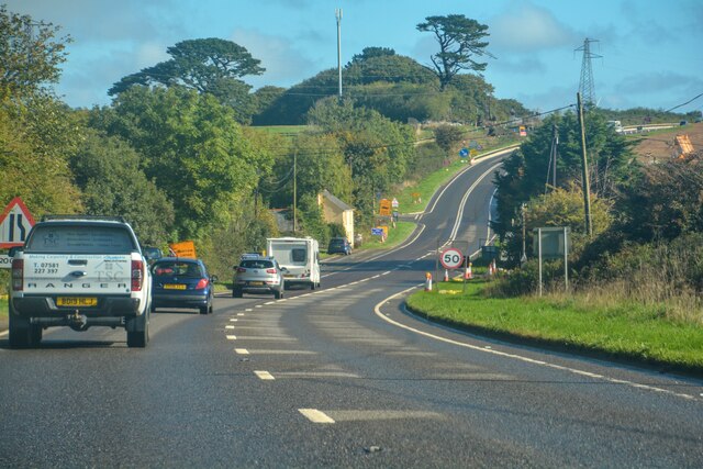
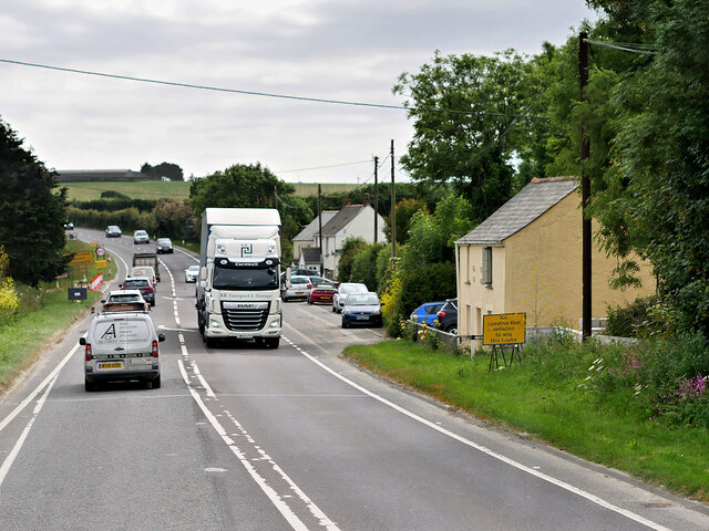
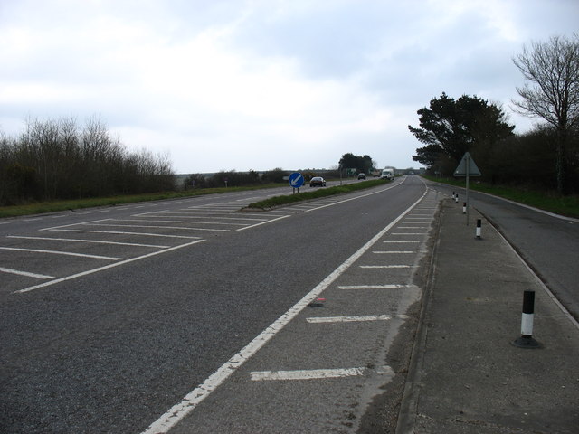
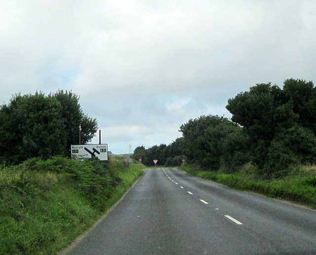
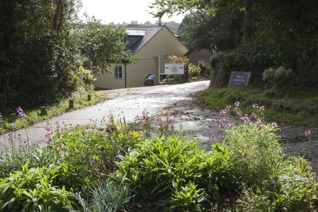
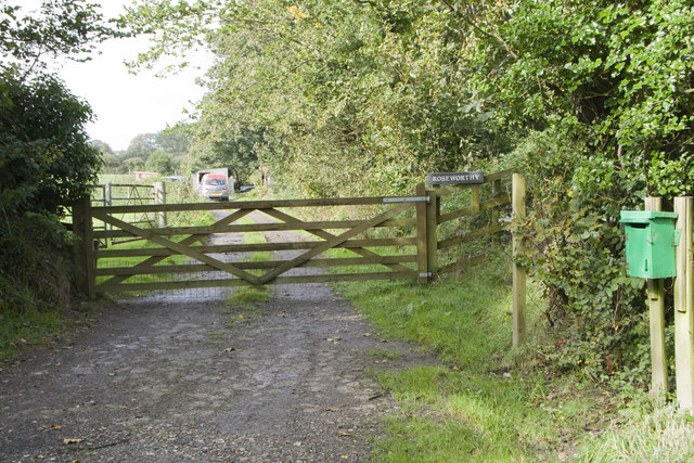
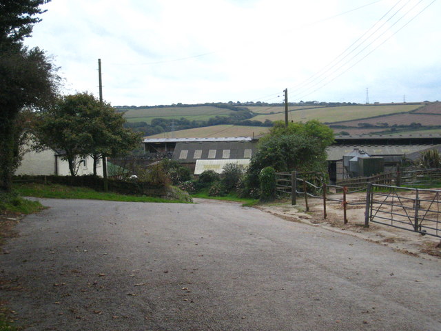
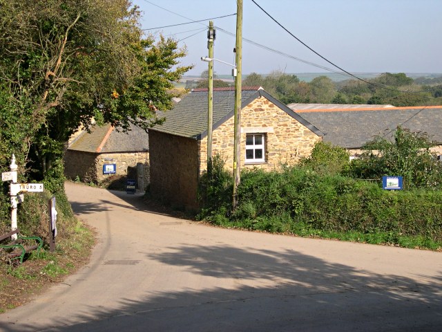
Allet Images

Images are sourced within 2km of 50.296425/-5.097426 or Grid Reference SW7948. Thanks to Geograph Open Source API. All images are credited.

The A30 Two heavy-duty farm vehicles slow things down at Marazanvose.
The A30
Two heavy-duty farm vehicles slow things down at Marazanvose.
Old Milestone by the A30, south west of Marazanvose Carved stone post by the A30, in parish of ST ALLEN (CARRICK District), West of Marazanvose, by the village sign, on North side of road. Erected by the parish in the 18th century. 

Inscription reads:-
: BODMIN / 21 M : : 36 / L : : PENZANCE / 26 M :  

Grade II Listed. List Entry Number: 1137011
<span class="nowrap"><a title="https://historicengland.org.uk/listing/the-list/list-entry/1137011" rel="nofollow ugc noopener" href="https://historicengland.org.uk/listing/the-list/list-entry/1137011">Link</a><img style="margin-left:2px;" alt="External link" title="External link - shift click to open in new window" src="https://s1.geograph.org.uk/img/external.png" width="10" height="10"/></span>

Milestone Society National ID: CW_PZBM26.
Old Milestone by the A30, south west of Marazanvose
Carved stone post by the A30, in parish of ST ALLEN (CARRICK District), West of Marazanvose, by the village sign, on North side of road. Erected by the parish in the 18th century. Inscription reads:- : BODMIN / 21 M : : 36 / L : : PENZANCE / 26 M : Grade II Listed. List Entry Number: 1137011 LinkExternal link Milestone Society National ID: CW_PZBM26.
Perranzabaloe : A30 The A30 heading through the Perranzabaloe parish.
Perranzabaloe : A30
The A30 heading through the Perranzabaloe parish.
Perranzabaloe : Road A road heads off from the A30.
Perranzabaloe : Road
A road heads off from the A30.
Old Milestone by the A30, south west of Marazanvose Carved stone post by the A30, in parish of ST ALLEN (CARRICK District), West of Marazanvose, by the village sign, on North side of road. Erected by the parish in the 18th century.

Inscription reads:-
: BODMIN / 21 M : : 36 / L : : PENZANCE / 26 M : 

Grade II listed. 
List Entry Number: 1137011 <span class="nowrap"><a title="https://historicengland.org.uk/listing/the-list/list-entry/1137011" rel="nofollow ugc noopener" href="https://historicengland.org.uk/listing/the-list/list-entry/1137011">Link</a><img style="margin-left:2px;" alt="External link" title="External link - shift click to open in new window" src="https://s1.geograph.org.uk/img/external.png" width="10" height="10"/></span>

Milestone Society National ID: CW_PZBM26.
Old Milestone by the A30, south west of Marazanvose
Carved stone post by the A30, in parish of ST ALLEN (CARRICK District), West of Marazanvose, by the village sign, on North side of road. Erected by the parish in the 18th century. Inscription reads:- : BODMIN / 21 M : : 36 / L : : PENZANCE / 26 M : Grade II listed. List Entry Number: 1137011 LinkExternal link Milestone Society National ID: CW_PZBM26.
Zelah : A30 Heading along the A30.
Zelah : A30
Heading along the A30.
Old Milestone by A30, West of Marazanvose The Milestone is located by the village sign on the North of the road.  Parish of St Allen (Carrick District). Carved stone post, erected by the parish in the 18th Century, minor edge chips. An earlier photograph can be found here: <a title="https://www.geograph.org.uk/photo/5623483" href="https://www.geograph.org.uk/photo/5623483">Link</a> 

Inscription reads:-  
36 / L  : : BODMIN / 21 M : : PENZANCE / 26 M  

Grade II listed. List Entry Number: 1137011 <span class="nowrap"><a title="https://historicengland.org.uk/listing/the-list/list-entry/1137011" rel="nofollow ugc noopener" href="https://historicengland.org.uk/listing/the-list/list-entry/1137011">Link</a><img style="margin-left:2px;" alt="External link" title="External link - shift click to open in new window" src="https://s1.geograph.org.uk/img/external.png" width="10" height="10"/></span> 

Milestone Society National ID: CW_PZBM26
Old Milestone by A30, West of Marazanvose
The Milestone is located by the village sign on the North of the road.  Parish of St Allen (Carrick District). Carved stone post, erected by the parish in the 18th Century, minor edge chips. An earlier photograph can be found here: Link  Inscription reads:- 36 / L : : BODMIN / 21 M : : PENZANCE / 26 M Grade II listed. List Entry Number: 1137011 LinkExternal link Milestone Society National ID: CW_PZBM26
HGV passing through Marazanvose on the A30 RR Transport’s DAF HGV (WK21 CFO) heading eastwards through Marazanvose, a hamlet on the A30 just to the southwest of Zelah in Cornwall.
HGV passing through Marazanvose on the A30
RR Transport’s DAF HGV (WK21 CFO) heading eastwards through Marazanvose, a hamlet on the A30 just to the southwest of Zelah in Cornwall.
Queuing Traffic on the A30 at Marazanvose Westbound traffic moving slowly along the A30; improvement works to create a fast dual carriageway are in progress approx 50 yards to the south (right in this photo).
Queuing Traffic on the A30 at Marazanvose
Westbound traffic moving slowly along the A30; improvement works to create a fast dual carriageway are in progress approx 50 yards to the south (right in this photo).
Carrick : Four Burrows Wind Farm There are 15 turbines in this wind farm. Four Burrows wind farm is situated near Truro, Cornwall. Developed and constructed by New World Power in 1995, Four Burrows was purchased by Renewable Energy Systems Ltd in 1997. The wind farm began generating power in March 1995 and was originally contracted under the 1994 Non Fossil Fuel Obligation (NFFO). Output is now contracted under the Renewables Obligation.
Carrick : Four Burrows Wind Farm
There are 15 turbines in this wind farm. Four Burrows wind farm is situated near Truro, Cornwall. Developed and constructed by New World Power in 1995, Four Burrows was purchased by Renewable Energy Systems Ltd in 1997. The wind farm began generating power in March 1995 and was originally contracted under the 1994 Non Fossil Fuel Obligation (NFFO). Output is now contracted under the Renewables Obligation.
The entrance to Nanteague Farm Now used as the base for a sewage treatment plant manufacturer.
The entrance to Nanteague Farm
Now used as the base for a sewage treatment plant manufacturer.
Cattle in pasture near Nanteague Farm In the middle distance can be seen <a href="https://www.geograph.org.uk/photo/2969541">SW7950 : Engine house at West Chiverton Mine</a> in square [SW7950].
Cattle in pasture near Nanteague Farm
In the middle distance can be seen SW7950 : Engine house at West Chiverton Mine in square [SW7950].
Field edge near Little Tresawsen Covered with red campion and foxgloves.
Field edge near Little Tresawsen
Covered with red campion and foxgloves.
The A30 near Callestick A short stretch of dual working to ease the junctions with the B3284, which crosses the A30 here.
The A30 near Callestick
A short stretch of dual working to ease the junctions with the B3284, which crosses the A30 here.
Cornwall B3284 Junction With A30
Entrance to Penrose Water Gardens Entrance to Penrose Water Gardens and Great Roseveth.
Entrance to Penrose Water Gardens
Entrance to Penrose Water Gardens and Great Roseveth.
Roseworthy Entrance to Roseworthy
Roseworthy
Entrance to Roseworthy
Eeyore Piglet and Pooh I think these toys are Eeyore Piglet and Pooh. They are weather-beaten, and there is nothing to explain why they have been placed in the middle of this triangular green beneath a small tree. Was it a sad event or a happy one?
Eeyore Piglet and Pooh
I think these toys are Eeyore Piglet and Pooh. They are weather-beaten, and there is nothing to explain why they have been placed in the middle of this triangular green beneath a small tree. Was it a sad event or a happy one?
Show me another place!

Allet is located at Grid Ref: SW7948 (Lat: 50.296425, Lng: -5.097426)

Unitary Authority: Cornwall

Police Authority: Devon and Cornwall

What 3 Words

///joined.summit.unsightly. Near Truro, Cornwall

Nearby Locations

Allet

Related Wikis

Carrick Heaths

Carrick Heaths is a Site of Special Scientific Interest (SSSI), noted for its biological characteristics, in mid Cornwall, England, UK. It incorporates...

Killivose

Killivose, Zelah is a hamlet south of Zelah in the parish of St Allen (where the population in the 2011 census was included.) in Cornwall, England....

Shortlanesend and Allet

Shortlanesend (Cornish: Penn an Vownder, meaning end of the lane) is a village in Kenwyn parish, Cornwall, England, United Kingdom. It lies two miles north...

Marazanvose

Marazanvose is a hamlet southwest of Zelah in Cornwall, England. It is on the A30 main road. == References ==

Chynhale

Chynhale is a house near Callestick in mid Cornwall, England. Chynhale is in the civil parish of Perranzabuloe and is situated 3.7 miles (6.0 km) east...

Zelah, Cornwall

Zelah is a village in Cornwall, England, United Kingdom, approximately 5 miles (8.0 kilometres) north of Truro. Zelah is the largest settlement in the...

Callestick

Callestick ( kə-LESS-tik Cornish: Kellestek) is a hamlet in Cornwall, England, UK. It is 5 miles (8.0 km) north-west from Truro and about 1 mile (1.6...

Ventongimps Moor

Ventongimps Moor is a moorland nature reserve and Site of Special Scientific Interest (SSSI), noted for its biological characteristics, in mid Cornwall...

Nearby Amenities

Located within 500m of 50.296425,-5.097426
Allet
Is In County: Cornwall
Name En: Allet
Name Kw: Ales
Place: hamlet
Source: OS_OpenData_StreetView
Lat/Long: 50.2962903/-5.0990952
Bus Stop
Springfield Farm
Naptan AtcoCode: 0800COC31673
Naptan BusStopType: CUS
Naptan NaptanCode: coratjaw
Naptan StopType: BCT
Naptan TimingStatus: OTH
Lat/Long: 50.2990643/-5.1025665
Bus Stop
Springfield Farm
Naptan AtcoCode: 0800COC31672
Naptan BusStopType: CUS
Naptan NaptanCode: coratjdj
Naptan StopType: BCT
Naptan TimingStatus: OTH
Lat/Long: 50.2990126/-5.1024788
Bus Stop
Five Acres
Naptan AtcoCode: 0800COC30548
Naptan BusStopType: CUS
Naptan NaptanCode: coratjwg
Naptan StopType: BCT
Naptan TimingStatus: OTH
Lat/Long: 50.2950693/-5.0985569
Bus Stop
Five Acres
Naptan AtcoCode: 0800COC30547
Naptan BusStopType: CUS
Naptan NaptanCode: coratmam
Naptan StopType: BCT
Naptan TimingStatus: OTH
Lat/Long: 50.2950917/-5.0980528
Post Box
Brand: Royal Mail
Brand Wikidata: Q638098
Collection Times: Mo-Fr 09:00; Sa 07:00; Su off
Drive Through: no
Operator: Royal Mail
Operator Wikidata: Q638098
Post Box Mounting: pier
Post Box Type: lamp
Ref: TR4 121D
Royal Cypher: EIIR
Royal Cypher Wikidata: Q33102113
Source: survey;aerial imagery
Lat/Long: 50.2953875/-5.0992833
The data included in this document is from www.openstreetmap.org. The data is made available under ODbL.

Have you been to Allet?

Leave your review of Allet below (or comments, questions and feedback).