Allestree

Settlement in Derbyshire

England

Allestree

Old Milepost by the A6 by Duffield Road, Allestree Cast iron post by the A6, in parish of DERBY (DERBY District), Duffield Road, Allestree, beside No. 375A (Two Mile Cottage) by chapel, in tarmac path in front of stone garden wall, beside steps to cottage, on West side of road. Derby iron bobbin, erected by the Derby & Duffield turnpike trust in the 19th century. 

Inscription reads:-
: DUFF.D / 2 / MILES : : DERBY / 2 / MILES : : HARRISON.DERBY :

Milestone Society National ID: DE_LM133.
Old Milepost by the A6 by Duffield Road, Allestree Credit: Sheila Button

Allestree is a suburban area located in the city of Derbyshire, England. Situated approximately 3 miles north of the city center, it is bordered by the River Derwent to the east and the A6 road to the west. With its picturesque landscapes and close proximity to both urban and rural areas, Allestree is a popular place to live for families and professionals alike.

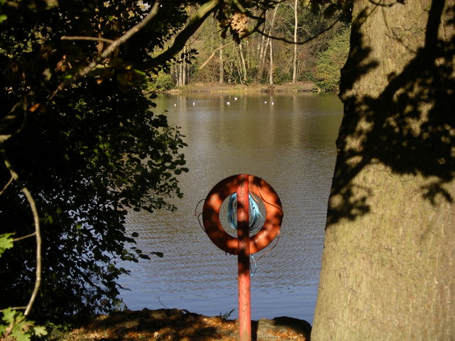
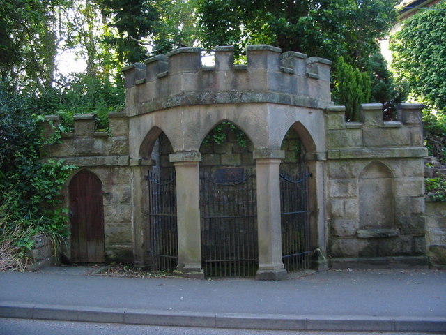
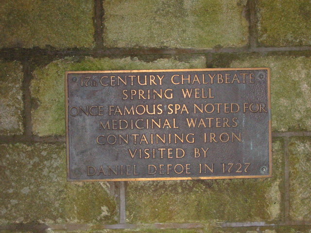
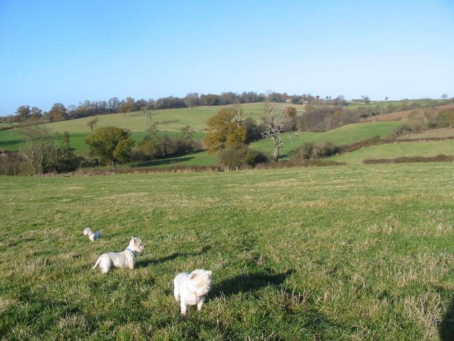
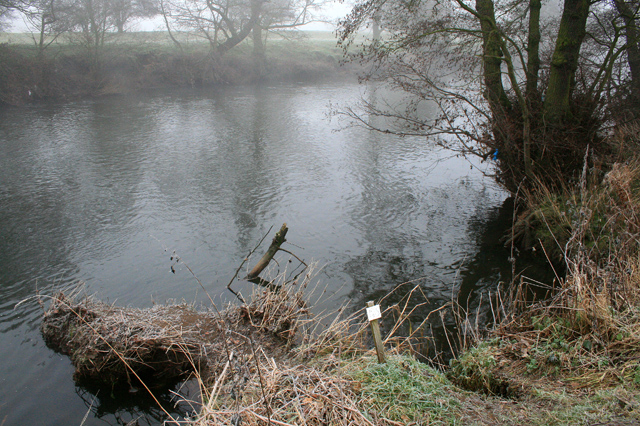
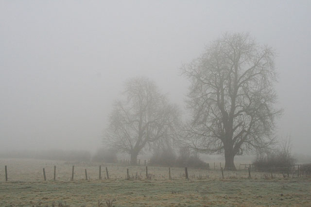
The area is renowned for its natural beauty, with Allestree Park being a prominent feature. This expansive park covers over 320 acres and offers a range of recreational activities, including walking trails, a golf course, and a lake for fishing. The park also houses the Allestree Park Farm, where visitors can experience a working farm and interact with various animals.

Allestree has a range of amenities, including several primary schools and the Allestree Woodlands Secondary School, which has been consistently rated as outstanding by Ofsted. The area also boasts a number of shops, restaurants, and pubs, providing residents with convenient access to daily necessities and leisure activities.

Transportation in Allestree is well-served, with regular bus services connecting the area to Derby city center and surrounding towns. The nearby A6 road provides easy access to the wider region, including the Peak District National Park, which is a popular destination for outdoor enthusiasts.

Overall, Allestree offers a peaceful and family-friendly environment, with its abundant green spaces, excellent schools, and convenient amenities making it an attractive place to live in Derbyshire.

If you have any feedback on the listing, please let us know in the comments section below.
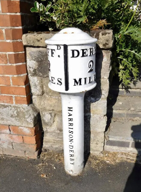
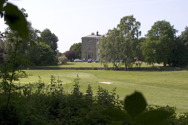
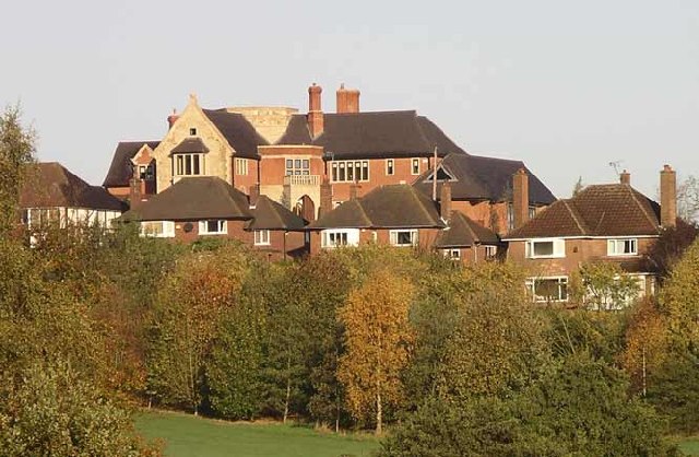
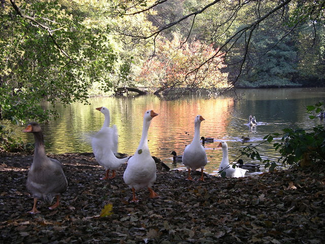
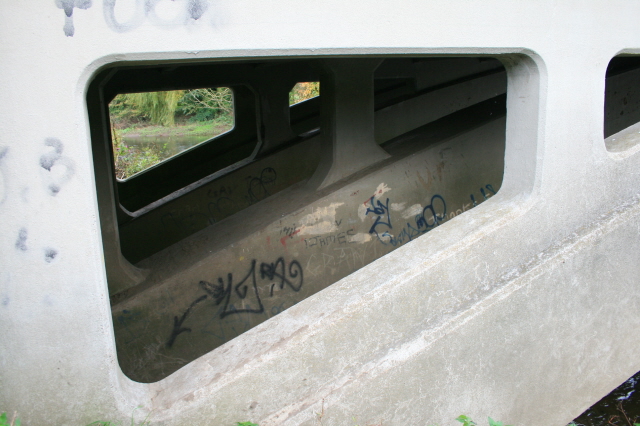
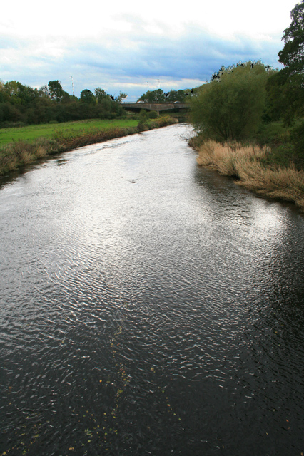
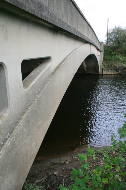
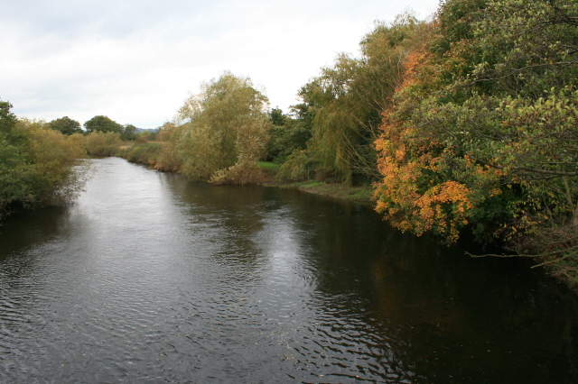
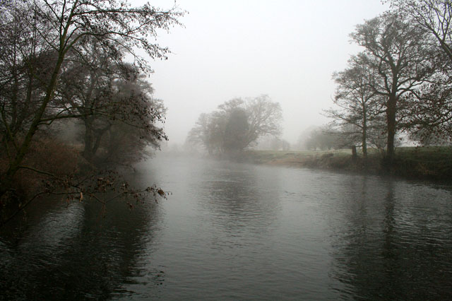
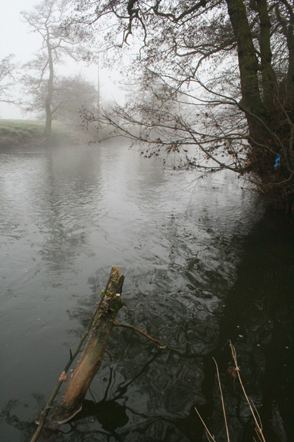
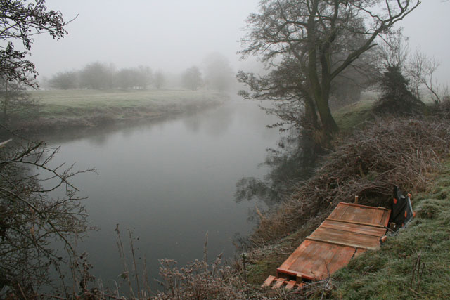
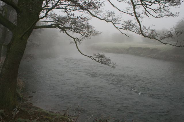
Allestree Images

Images are sourced within 2km of 52.951756/-1.487952 or Grid Reference SK3439. Thanks to Geograph Open Source API. All images are credited.

Old Milepost by the A6 by Duffield Road, Allestree Cast iron post by the A6, in parish of DERBY (DERBY District), Duffield Road, Allestree, beside No. 375A (Two Mile Cottage) by chapel, in tarmac path in front of stone garden wall, beside steps to cottage, on West side of road. Derby iron bobbin, erected by the Derby & Duffield turnpike trust in the 19th century. 

Inscription reads:-
: DUFF.D / 2 / MILES : : DERBY / 2 / MILES : : HARRISON.DERBY :

Milestone Society National ID: DE_LM133.
Old Milepost by the A6 by Duffield Road, Allestree
Cast iron post by the A6, in parish of DERBY (DERBY District), Duffield Road, Allestree, beside No. 375A (Two Mile Cottage) by chapel, in tarmac path in front of stone garden wall, beside steps to cottage, on West side of road. Derby iron bobbin, erected by the Derby & Duffield turnpike trust in the 19th century. Inscription reads:- : DUFF.D / 2 / MILES : : DERBY / 2 / MILES : : HARRISON.DERBY : Milestone Society National ID: DE_LM133.
Allestree Hall And Golf Course- Allestree Country Park Allestree Hall and golf course within Allestree Country Park. SK 347 406
Allestree Hall And Golf Course- Allestree Country Park
Allestree Hall and golf course within Allestree Country Park. SK 347 406
New house on the site of old listed farm buildings Peter Gadsby's new home on Burley Hill, which you can see towers above all the other houses. At one time these houses used to have open views over the farm and fields. The farm was once a listed building but somehow this monstrosity was allowed to be built in its place
<span class="nowrap"><a title="http://www.picturesofderby.co.uk/area_allestree.htm" rel="nofollow ugc noopener" href="http://www.picturesofderby.co.uk/area_allestree.htm">Link</a><img style="margin-left:2px;" alt="External link" title="External link - shift click to open in new window" src="https://s1.geograph.org.uk/img/external.png" width="10" height="10"/></span>
New house on the site of old listed farm buildings
Peter Gadsby's new home on Burley Hill, which you can see towers above all the other houses. At one time these houses used to have open views over the farm and fields. The farm was once a listed building but somehow this monstrosity was allowed to be built in its place LinkExternal link
Shakedown at Allestree Lake Shakedown at the Lake at Allestree Park, Allestree, Derby.
Shakedown at Allestree Lake
Shakedown at the Lake at Allestree Park, Allestree, Derby.
Be prepared! Life ring on the edge of Allestree Lake, Allestree Park, Derby.
Be prepared!
Life ring on the edge of Allestree Lake, Allestree Park, Derby.
Spring Well in Quarndon This rather ornate spring well is in the village of Quarndon.  A plaque inside the well has the following description "17th century chalybeate spring well. Once famous spa noted for medicinal waters containing iron. Visited by Daniel Defoe in 1727".
Spring Well in Quarndon
This rather ornate spring well is in the village of Quarndon. A plaque inside the well has the following description "17th century chalybeate spring well. Once famous spa noted for medicinal waters containing iron. Visited by Daniel Defoe in 1727".
Plaque Inside Spring Well
Farmland at Quarndon View from near Quarndon looking towards Park Nook farm.
Farmland at Quarndon
View from near Quarndon looking towards Park Nook farm.
Allestree Ford Bridge A concrete construction with four trusses.
Allestree Ford Bridge
A concrete construction with four trusses.
The Derwent from Allestree Ford Bridge Looking downstream.  The bridge carrying the A38 over the river is visible.
The Derwent from Allestree Ford Bridge
Looking downstream. The bridge carrying the A38 over the river is visible.
Allestree Ford Bridge Crossing The Derwent.
Allestree Ford Bridge
Crossing The Derwent.
The Derwent from Allestree Ford Bridge Looking upstream.
The Derwent from Allestree Ford Bridge
Looking upstream.
The River Derwent East of Little Eaton.

On the last day of 2008 when the fog didn't clear and the temperature remained below zero all day.
The River Derwent
East of Little Eaton. On the last day of 2008 when the fog didn't clear and the temperature remained below zero all day.
A Cold River The Derwent passes to the east of Little Eaton.

On the last day of 2008 when the fog didn't clear and the temperature remained below zero all day.
A Cold River
The Derwent passes to the east of Little Eaton. On the last day of 2008 when the fog didn't clear and the temperature remained below zero all day.
Fishing Platform On the River Derwent east of Little Eaton.

Nobody out here today on the last day of 2008 when the fog didn't clear and the temperature remained below zero all day.
Fishing Platform
On the River Derwent east of Little Eaton. Nobody out here today on the last day of 2008 when the fog didn't clear and the temperature remained below zero all day.
A Misty Derwent Just as it enters this grid square.

On the last day of 2008 when the fog didn't clear and the temperature remained below zero all day.
A Misty Derwent
Just as it enters this grid square. On the last day of 2008 when the fog didn't clear and the temperature remained below zero all day.
A Precarious Fishing Peg On the Derwent, a small bit of bank protrudes into the water.

<a href="https://www.geograph.org.uk/photo/1107109">SK3541 : A Cold River</a> and <a href="https://www.geograph.org.uk/photo/1099949">SK3541 : The River Derwent</a> were both taken from it.
A Precarious Fishing Peg
On the Derwent, a small bit of bank protrudes into the water. SK3541 : A Cold River and SK3541 : The River Derwent were both taken from it.
Two Misty Ashes Near to Fields Farm, just off the A6 near Allestree.
Two Misty Ashes
Near to Fields Farm, just off the A6 near Allestree.
Show me another place!

Allestree is located at Grid Ref: SK3439 (Lat: 52.951756, Lng: -1.487952)

Unitary Authority: Derby

Police Authority: Derbyshire

What 3 Words

///soccer.levels.lawn. Near Little Eaton, Derbyshire

Nearby Locations

Allestree

Related Wikis

Allestree

Allestree is a suburb and ward of the city of Derby, a unitary authority area, in Derbyshire, England. It is the northernmost ward and is on the A6 road...

Derby North (UK Parliament constituency)

Derby North () is a constituency formed of part of the city of Derby, represented in the House of Commons of the UK Parliament since 2019 by Amanda Solloway...

Allestree Woodlands School

Allestree Woodlands School (formerly Woodlands School) is a coeducational academy secondary school and sixth form in Derby, England. == Admissions == The...

Saint Benedict Catholic Voluntary Academy

Saint Benedict Catholic Voluntary Academy is a Catholic secondary school with academy status in the Darley Abbey district of Derby. It has around 1500...
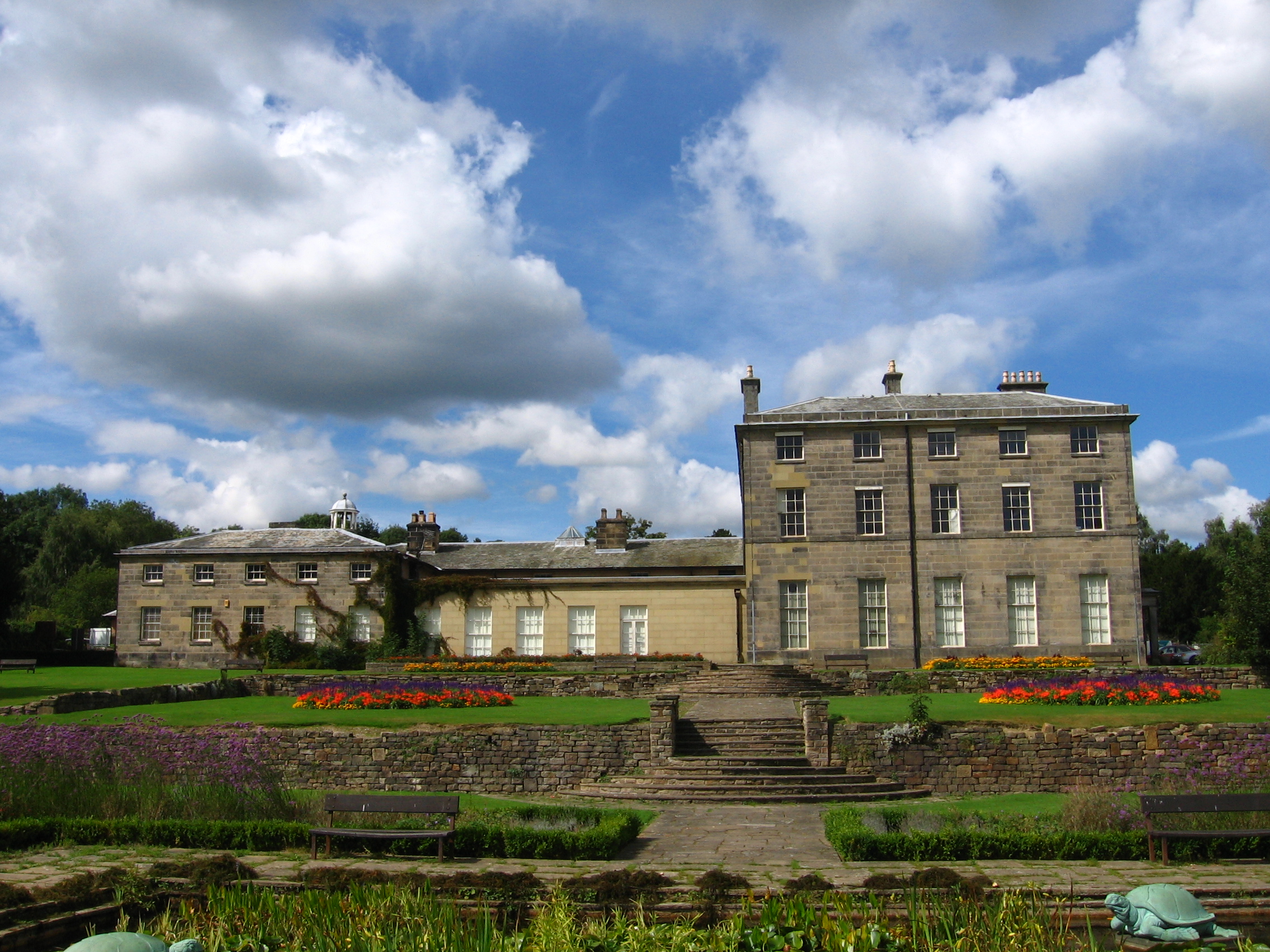
Allestree Hall

Allestree Hall is a 19th-century former country house situated in Allestree Park, Allestree, Derby. It is a Grade II* listed building but has been unoccupied...

Darley Abbey

Darley Abbey is a former historic mill village, now a suburb of the city of Derby, England. It is located approximately 1.4 miles (2.3 km) north of the...

University of Derby

The University of Derby, formerly known as Derby College, is a public university in the city of Derby, England. It traces its history back to the establishment...

Darley Park

Darley Park is an urban park on the banks of the River Derwent, just north of Derby City Centre, England, United Kingdom. It has a total area of 80 acres...

Nearby Amenities

Located within 500m of 52.951756,-1.487952
Motorway Junction
Palm Court Island
Exit To: Matlock A6
Lat/Long: 52.9487956/-1.4834487
Exit To: Matlock A6;Belper;Milford;Duffield
Lat/Long: 52.9507744/-1.4808503
Post Box
Operator: Royal Mail
Operator Wikidata: Q638098
Ref: DE22 529
Lat/Long: 52.9484663/-1.4863013
Mini Roundabout
Direction: clockwise
Lat/Long: 52.950107/-1.481882
Post Box
Brand: Royal Mail
Brand Wikidata: Q638098
Collection Times: Mo-Fr 09:00; Sa 07:00
Mapillary: 476067623658587
Operator: Royal Mail
Operator Wikidata: Q638098
Post Box Type: pillar
Ref: DE22 209
Royal Cypher: EIIR
Survey Date: 2021-09-19
Lat/Long: 52.9507663/-1.4812303
Bus Stop
Kings Croft
Bench: no
Bin: no
Bus: yes
Lit: no
Public Transport: platform
Shelter: no
Tactile Paving: no
Lat/Long: 52.9513602/-1.4807813
Turning Circle
Lat/Long: 52.9501828/-1.4889156
Turning Circle
Lat/Long: 52.9490017/-1.4878366
Barrier: cycle_barrier
Lat/Long: 52.9483903/-1.4899621
Post Box
Operator: Royal Mail
Operator Wikidata: Q638098
Ref: DE22 707
Lat/Long: 52.9493572/-1.4923779
Barrier: cycle_barrier
Lat/Long: 52.9487204/-1.4903596
Turning Circle
Lat/Long: 52.9487312/-1.4905243
Turning Circle
Lat/Long: 52.9537357/-1.4851531
Post Box
Check Date: 2023-01-30
Collection Times: Mo-Fr 09:00; Sa 07:00
Operator: Royal Mail
Operator Wikidata: Q638098
Ref: DE22 300
Royal Cypher: GR
Lat/Long: 52.9541492/-1.4845986
Bus Stop
Cornhill
Bench: no
Bin: no
Bus: yes
Lit: yes
Operator: Trent Barton
Public Transport: platform
Shelter: no
Tactile Paving: no
Lat/Long: 52.9542748/-1.4889874
Bench
Backrest: yes
Lat/Long: 52.9544394/-1.4888694
Post Box
Check Date: 2023-02-20
Operator: Royal Mail
Operator Wikidata: Q638098
Ref: DE22 605
Lat/Long: 52.9544637/-1.488832
Community Centre
Evergreen Club
Addr City: Derby
Addr Postcode: DE22 2FT
Addr Street: Cornhill
Addr Suburb: Allestree
Building: yes
Community Centre: club_home
Fixme: Tagging
Lat/Long: 52.954566/-1.4854809
Bus Stop
Evergreen Club
Bench: no
Bin: yes
Bus: yes
Lit: yes
Naptan AtcoCode: 109000008777
Naptan NaptanCode: dbyamtpd
Operator: Notts & Derby
Public Transport: platform
Shelter: no
Tactile Paving: no
Lat/Long: 52.9544187/-1.4855183
Community Centre
Memorial Hall
Addr City: Derby
Addr Postcode: DE22 2GG
Addr Street: Cornhill
Addr Suburb: Allestree
Building: yes
Community Centre: community_hall
Lat/Long: 52.9541795/-1.4847704
Bus Stop
St. Edmunds Close
Bench: no
Bin: no
Bus: yes
Lit: yes
Naptan AtcoCode: 109000008776
Naptan NaptanCode: dbyamtpa
Operator: Notts & Derby
Public Transport: platform
Shelter: no
Tactile Paving: no
Lat/Long: 52.9541873/-1.4848871
Turning Circle
Lat/Long: 52.9526706/-1.4949203
Place Of Worship
Woodlands Evangelical Church
Addr City: Derby
Addr Housenumber: 191
Addr Postcode: DE22 2GN
Addr Street: Blenheim Drive
Addr Suburb: Allestree
Denomination: evangelical
Religion: christian
Lat/Long: 52.9532345/-1.4936015
Turning Circle
Lat/Long: 52.9539222/-1.4903466
Turning Circle
Lat/Long: 52.9546374/-1.490299
West Bank Road
Power: substation
Ref: 14D1428
Lat/Long: 52.9560899/-1.4896368
Turning Circle
Lat/Long: 52.9531093/-1.4898272
Bus: yes
Public Transport: stop_position
Lat/Long: 52.9553436/-1.489387
Turning Circle
Lat/Long: 52.954767/-1.4914381
The Co-operative Food
Addr City: Derby
Addr Housenumber: 187
Addr Postcode: DE22 2GN
Addr Street: Blenheim Drive
Addr Suburb: Allestree
Brand: The Co-operative Food
Brand Wikidata: Q107617274
Fhrs Id: 727611
Operator: Central England Co-operative
Operator Wikidata: Q16986583
Shop: supermarket
Website: https://stores.centralengland.coop/derbyshire/derby/187-blenheim-drive
Lat/Long: 52.9534369/-1.4940623
Crossing
Crossing: uncontrolled
Crossing Island: no
Crossing Ref: zebra
Tactile Paving: yes
Lat/Long: 52.9529504/-1.4929738
Atm
Lat/Long: 52.9534107/-1.4941482
Turning Circle
Lat/Long: 52.9518227/-1.4844275
Entrance: yes
Lat/Long: 52.9530818/-1.4843369
Entrance: yes
Lat/Long: 52.9554235/-1.4919253
Crossing
Crossing: unmarked
Crossing Island: no
Crossing Markings: no
Kerb: lowered
Tactile Paving: no
Lat/Long: 52.9518862/-1.4806303
Crossing
Crossing: unmarked
Crossing Markings: no
Kerb: lowered
Lat/Long: 52.9510522/-1.4807482
Crossing
Crossing: unmarked
Crossing Markings: no
Kerb: lowered
Tactile Paving: yes
Lat/Long: 52.9501693/-1.4811117
Entrance: yes
Lat/Long: 52.9529284/-1.4861255
Entrance: yes
Lat/Long: 52.9528846/-1.4860282
Pub
Bar 189
Addr City: Derby
Addr Housenumber: 189
Addr Postcode: DE22 2GN
Addr Street: Blenheim Drive
Addr Suburb: Allestree
Alt Name: no. 189 One Eight Nine
Contact Facebook: https://www.facebook.com/189allestree/
Fhrs Id: 1291594
Note: Opened October 12th 2018
Old Name: 189 Allestree
Opening Hours: Th-Fr 17:00-22:00; Sa-Su 15:00-21:00
Pub: micropub
Real Ale: Five including from local breweries
Takeaway: yes
Lat/Long: 52.953438/-1.4939356
Defibrillator
Access: yes
Defibrillator Location: On wall outside the Co-op
Emergency: defibrillator
Indoor: no
Opening Hours: 24/7
Ref GB The Circuit: 78677FB6-A1B0-4681-A0E5-4D1939EBDAD7
Lat/Long: 52.9534033/-1.4940422
Addr City: Derby
Addr Housenumber: 7
Addr Postcode: DE22 2SP
Addr Street: Buttermere Drive
Lat/Long: 52.950426/-1.4910141
Bus Stop
Blenheim Parade
Bench: no
Bin: no
Bus: yes
Lit: yes
Naptan AtcoCode: 109000008787
Naptan NaptanCode: dbyagapt
Public Transport: platform
Shelter: no
Tactile Paving: no
Lat/Long: 52.9533071/-1.4948851
Waste Basket
Lat/Long: 52.9506259/-1.4877465
Bench
Lat/Long: 52.9520273/-1.4873732
Waste Basket
Lat/Long: 52.9530001/-1.4861167
Waste Basket
Lat/Long: 52.953256/-1.484113
Bench
Lat/Long: 52.9521307/-1.4872844
Shelter
Lat/Long: 52.9527099/-1.4868555
Pump
Tourism: attraction
Lat/Long: 52.9542071/-1.4845261
Waste Basket
Lat/Long: 52.9528634/-1.4868661
Waste Basket
Lat/Long: 52.953838/-1.4932832
Historic: memorial
Lat/Long: 52.9536903/-1.483938
Bus Stop
Ness Walk
Bus: yes
Public Transport: platform
Lat/Long: 52.949719/-1.4922992
Bus Stop
Ness Walk
Bus: yes
Naptan AtcoCode: 109000008785
Naptan NaptanCode: dbyadgma
Public Transport: platform
Lat/Long: 52.9489778/-1.4927126
Bus Stop
Thirlmere Avenue
Bus: yes
Naptan AtcoCode: 109000008782
Naptan NaptanCode: dbyadjaj
Public Transport: platform
Lat/Long: 52.9520267/-1.4915389
Bus Stop
Thirlmere Avenue
Bus: yes
Public Transport: platform
Lat/Long: 52.9515877/-1.4915432
Direction: ESE
Generator Method: photovoltaic
Generator Output Electricity: yes
Generator Solar Modules: 6
Generator Source: solar
Generator Type: solar_photovoltaic_panel
Location: roof
Power: generator
Lat/Long: 52.9538429/-1.4900491
Direction: SE
Generator Method: photovoltaic
Generator Output Electricity: yes
Generator Solar Modules: 10
Generator Source: solar
Generator Type: solar_photovoltaic_panel
Location: roof
Power: generator
Lat/Long: 52.9502484/-1.4883487
Direction: SW
Generator Method: photovoltaic
Generator Output Electricity: yes
Generator Solar Modules: 16
Generator Source: solar
Generator Type: solar_photovoltaic_panel
Location: roof
Power: generator
Lat/Long: 52.9538445/-1.4902049
Direction: SSE
Generator Method: photovoltaic
Generator Output Electricity: yes
Generator Solar Modules: 14
Generator Source: solar
Generator Type: solar_photovoltaic_panel
Location: roof
Power: generator
Lat/Long: 52.9481039/-1.4898436
Direction: 260
Generator Method: photovoltaic
Generator Output Electricity: yes
Generator Solar Modules: 6
Generator Source: solar
Generator Type: solar_photovoltaic_panel
Location: roof
Power: generator
Lat/Long: 52.951763/-1.4906109
Direction: SE
Generator Method: photovoltaic
Generator Output Electricity: yes
Generator Solar Modules: 16
Generator Source: solar
Generator Type: solar_photovoltaic_panel
Location: roof
Power: generator
Lat/Long: 52.9503222/-1.4884745
Direction: SSE
Generator Method: photovoltaic
Generator Output Electricity: yes
Generator Solar Modules: 12
Generator Source: solar
Generator Type: solar_photovoltaic_panel
Location: roof
Power: generator
Lat/Long: 52.948047/-1.4900699
Direction: SSE
Generator Method: photovoltaic
Generator Output Electricity: yes
Generator Solar Modules: 10
Generator Source: solar
Generator Type: solar_photovoltaic_panel
Location: roof
Power: generator
Lat/Long: 52.9519539/-1.4899445
Direction: SSE
Generator Method: photovoltaic
Generator Output Electricity: yes
Generator Solar Modules: 13
Generator Source: solar
Generator Type: solar_photovoltaic_panel
Location: roof
Power: generator
Lat/Long: 52.9523819/-1.4899638
Direction: SE
Generator Method: photovoltaic
Generator Output Electricity: yes
Generator Solar Modules: 10
Generator Source: solar
Generator Type: solar_photovoltaic_panel
Location: roof
Power: generator
Lat/Long: 52.9483386/-1.4892407
Direction: SSW
Generator Method: photovoltaic
Generator Output Electricity: yes
Generator Solar Modules: 12
Generator Source: solar
Generator Type: solar_photovoltaic_panel
Location: roof
Power: generator
Lat/Long: 52.9537048/-1.4868463
Direction: SSE
Generator Method: photovoltaic
Generator Output Electricity: yes
Generator Solar Modules: 18
Generator Source: solar
Generator Type: solar_photovoltaic_panel
Location: roof
Power: generator
Lat/Long: 52.9529096/-1.4912002
Waste Basket
Lat/Long: 52.9526162/-1.4883988
Waste Basket
Lat/Long: 52.9529717/-1.4924421
Waste Basket
Lat/Long: 52.9530743/-1.4932178
Bus Stop
Bus: yes
Naptan AtcoCode: 109000008779
Naptan NaptanCode: dbyadjap
Public Transport: platform
Lat/Long: 52.9553555/-1.4893529
Bus Stop
Bus: yes
Naptan AtcoCode: 109000008778
Naptan NaptanCode: dbyagapd
Public Transport: platform
Lat/Long: 52.9553152/-1.4894763
The data included in this document is from www.openstreetmap.org. The data is made available under ODbL.

Have you been to Allestree?

Leave your review of Allestree below (or comments, questions and feedback).