Allexton

Settlement in Leicestershire Harborough

England

Allexton

Footpath toward Belton, Rutland More of Rutland's gently rolling countryside.
Footpath toward Belton, Rutland Credit: Tim Heaton

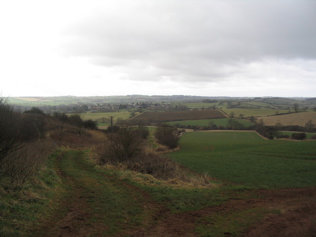
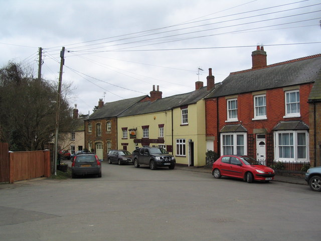
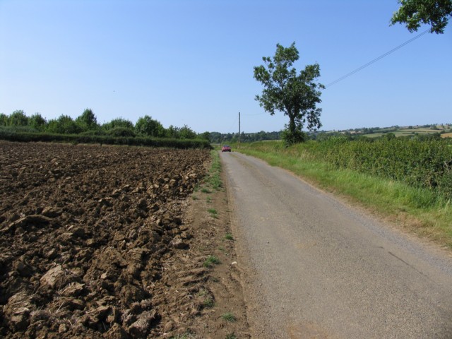
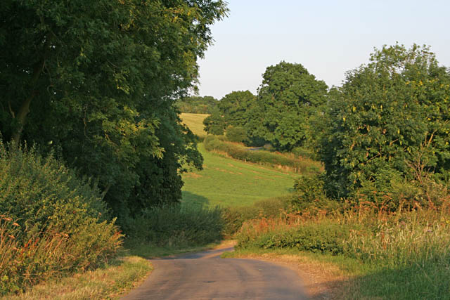
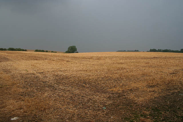
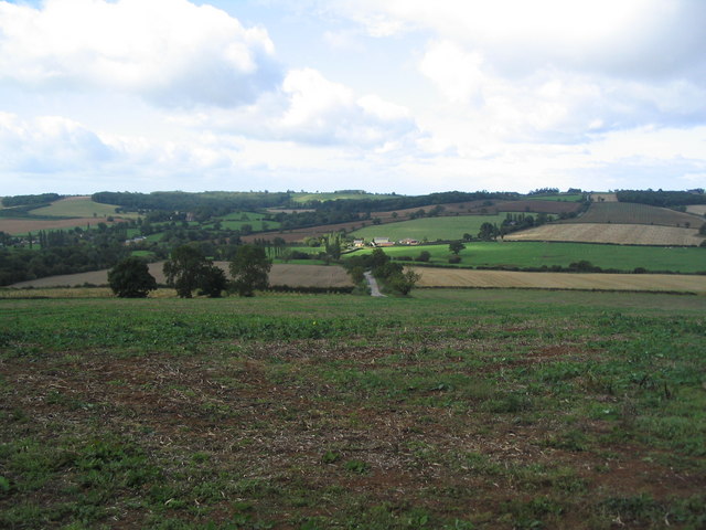
Allexton is a small village located in the county of Leicestershire, England. Situated approximately 7 miles south-east of the town of Oakham, Allexton is nestled in a rural setting surrounded by picturesque countryside.

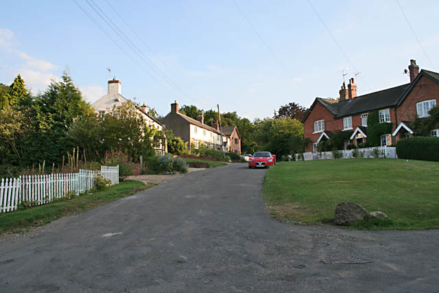
The village itself is characterized by its traditional stone houses and charming cottages, which add to its quaint and idyllic ambiance. Allexton has a relatively small population, with just over 100 residents, contributing to its tight-knit community feel.

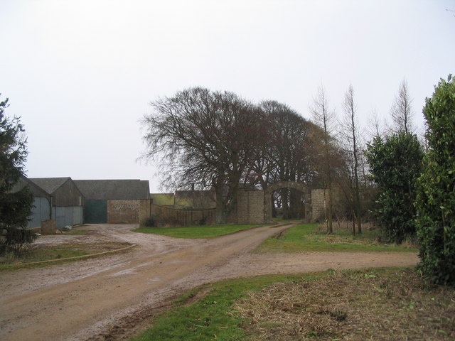
One of the notable features of Allexton is its proximity to the historic Allexton and New Parks Manor. This Grade II listed manor house dates back to the 17th century and is known for its beautiful architecture and well-preserved gardens. The manor now functions as a private residence but continues to contribute to the village's cultural heritage.

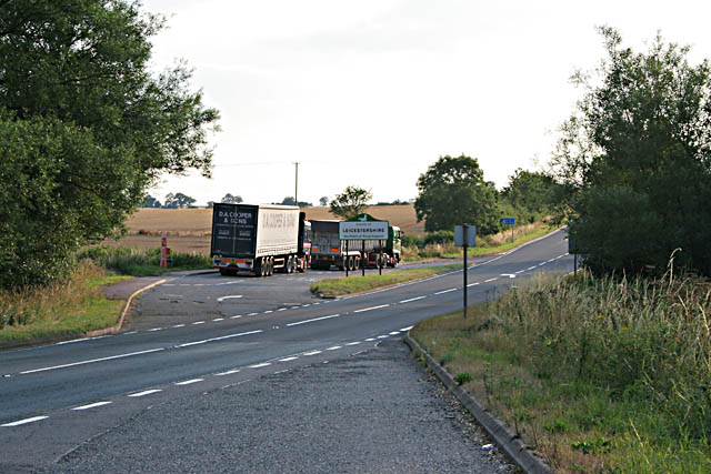
Although Allexton is a small village, it benefits from its close proximity to larger towns and cities. The nearby town of Oakham provides access to various amenities, including shops, schools, and healthcare facilities. Additionally, Allexton benefits from excellent transport links, with major road networks such as the A47 and A6003 within easy reach, making it accessible to neighboring towns and cities.

With its charming rural setting, close-knit community, and historical landmarks, Allexton offers a peaceful and scenic retreat for its residents, while still benefiting from the conveniences of nearby amenities.

If you have any feedback on the listing, please let us know in the comments section below.
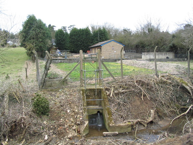
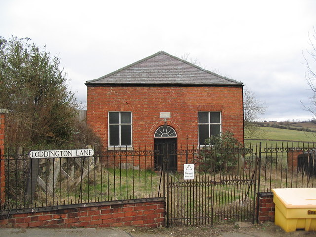
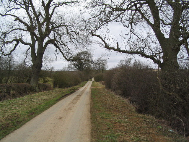
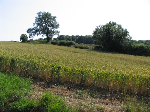
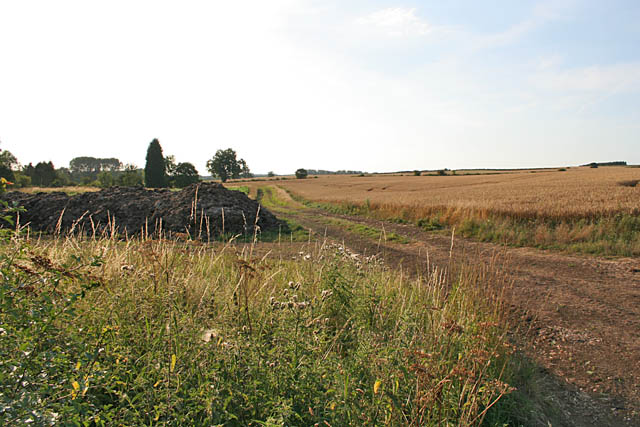
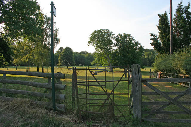
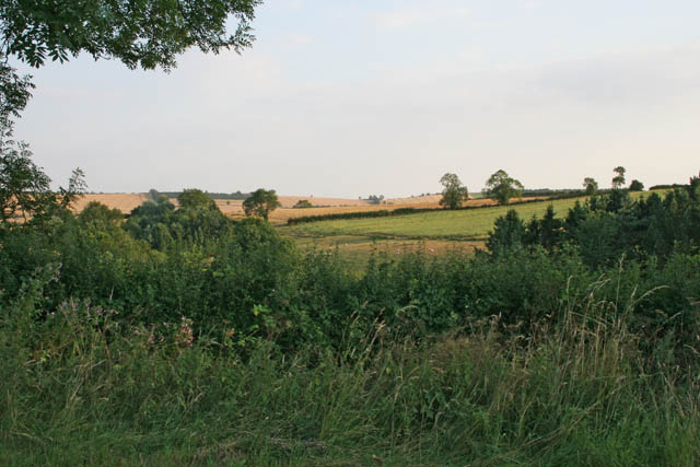
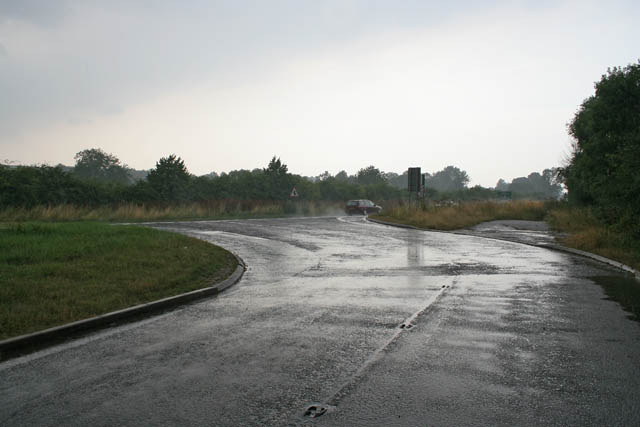
Allexton Images

Images are sourced within 2km of 52.595445/-0.792989 or Grid Reference SK8100. Thanks to Geograph Open Source API. All images are credited.

Footpath toward Belton, Rutland More of Rutland's gently rolling countryside.
Footpath toward Belton, Rutland
More of Rutland's gently rolling countryside.
Entrance to Park Farm, Ridlington
Churchyard, St Peter's, Belton-in-Rutland Now quite crowded, there's a new graveyard a little way to the north of the village
Churchyard, St Peter's, Belton-in-Rutland
Now quite crowded, there's a new graveyard a little way to the north of the village
The Sun, Belton-in-Rutland Very proud of being in England's smallest county, the village of Belton was officially renamed Belton-in-Rutland in 1982.
The Sun, Belton-in-Rutland
Very proud of being in England's smallest county, the village of Belton was officially renamed Belton-in-Rutland in 1982.
Belton Sewage Treatment Works Even a most attractive village must have one
Belton Sewage Treatment Works
Even a most attractive village must have one
Baptist Chapel, Belton-in-Rutland Erected in 1842 and, unlike the many older buildings in this village, in a rather poor state.
Baptist Chapel, Belton-in-Rutland
Erected in 1842 and, unlike the many older buildings in this village, in a rather poor state.
Lane to College Farm The route of the "Leicestershire Round" north from Belton-in-Rutland. The footpath was presumably designated when Rutland was originally forced to be part of the larger county.
Lane to College Farm
The route of the "Leicestershire Round" north from Belton-in-Rutland. The footpath was presumably designated when Rutland was originally forced to be part of the larger county.
Towards Allexton Wood
Stockerston Road The farmer is already ploughing his fields in early July
Stockerston Road
The farmer is already ploughing his fields in early July
Layby on the A47 Near East Norton
Layby on the A47
Near East Norton
Allexton, Leicestershire This village is just over the boundary from Rutland.
Allexton, Leicestershire
This village is just over the boundary from Rutland.
Loddington Lane, near Belton in Rutland
Farmland near Belton-in-Rutland Looking towards the nw corner of the square. The county boundary between Rutland and Leicestershire follows the hedgeline left of centre.
Farmland near Belton-in-Rutland
Looking towards the nw corner of the square. The county boundary between Rutland and Leicestershire follows the hedgeline left of centre.
Parkland at Allexton Hall, Leicestershire The kissing gate in the foreground allows footpath access from the village to the park.
Parkland at Allexton Hall, Leicestershire
The kissing gate in the foreground allows footpath access from the village to the park.
Countryside near Belton-in-Rutland Looking over the hedge from Loddington Lane
Countryside near Belton-in-Rutland
Looking over the hedge from Loddington Lane
Stormy weather on the A47 Just after a down pour. The Leicester to Uppingham road has been straightened out and the bends now form an extensive system of lay-bys. Photograph taken at 4.20 pm.
Stormy weather on the A47
Just after a down pour. The Leicester to Uppingham road has been straightened out and the bends now form an extensive system of lay-bys. Photograph taken at 4.20 pm.
Farmland by the A47 Weak sunlight catching the stubble after a torrential down pour at 4 o'clock in the afternoon.
Farmland by the A47
Weak sunlight catching the stubble after a torrential down pour at 4 o'clock in the afternoon.
Storm clouds over St Botolph's Church, Wardley A tiny church in a tiny village. It is dedicated to the same saint as the large church in the market place at Boston, Lincolnshire, more commonly known as the Boston Stump. More information on this popular medieval saint here <span class="nowrap"><a title="http://www.st-botolphs.com/botolph/st_botolph_life.htm" rel="nofollow ugc noopener" href="http://www.st-botolphs.com/botolph/st_botolph_life.htm">Link</a><img style="margin-left:2px;" alt="External link" title="External link - shift click to open in new window" src="https://s1.geograph.org.uk/img/external.png" width="10" height="10"/></span>
Storm clouds over St Botolph's Church, Wardley
A tiny church in a tiny village. It is dedicated to the same saint as the large church in the market place at Boston, Lincolnshire, more commonly known as the Boston Stump. More information on this popular medieval saint here LinkExternal link
Show me another place!

Allexton is located at Grid Ref: SK8100 (Lat: 52.595445, Lng: -0.792989)

Administrative County: Leicestershire

District: Harborough

Police Authority: Leicestershire

What 3 Words

///mixer.poorly.irritable. Near Ridlington, Rutland

Nearby Locations

Allexton

Related Wikis

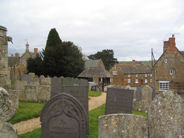
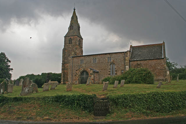
St Peter's Church, Allexton

St Peter's Church is a historic Anglican church in the village of Allexton, Leicestershire, England. It is recorded in the National Heritage List for...

Allexton

Allexton is a village and civil parish in the Harborough district of Leicestershire, England. According to the 2001 census, the parish had a population...

Belton-in-Rutland

Belton-in-Rutland is a village and civil parish in the county of Rutland in the East Midlands of England. The population at the 2001 census was 345 increasing...

St Peter's Church, Belton-in-Rutland

St Peter's Church is a Church of England parish church in Belton-in-Rutland, Rutland. It is a Grade II* listed building. == History == The south arcade...

Allexton Wood

Allexton Wood is a 25.9-hectare (64-acre) biological Site of Special Scientific Interest north-east of Hallaton in Leicestershire.This coppice semi-natural...

St Botolph's Church, Wardley

St Botolph's Church, Wardley is a redundant Anglican church in the small village of Wardley, Rutland, England. It is recorded in the National Heritage...

Wardley, Rutland

Wardley is a village and civil parish in the county of Rutland in the East Midlands of England. The population at the 2001 census was 32. At the 2011 census...

Beaumont Chase

Beaumont Chase is a civil parish in the county of Rutland in the East Midlands of England. It is to the west of Uppingham, north of Stoke Dry, and on a...

Nearby Amenities

Located within 500m of 52.595445,-0.792989
Allexton
Is In Country: UK
Is In County: Leicestershire
Place: village
Lat/Long: 52.5955507/-0.795245
Crossing
Crossing Island: yes
Lat/Long: 52.597608/-0.7922333
Restaurant
Hungry Hogs At Hillside Cafe
Addr City: Oakham
Addr Country: GB
Addr Hamlet: Belton On Rutland
Addr Housename: Hungry Hogs At Hillside Cafe
Addr Postcode: LE15 9AB
Addr Street: Leicester Road
Cuisine: regional;burger;coffee_shop;steak_house
Opening Hours: Mo-Sa 08:00-15:00
Phone: +447788 418633
Lat/Long: 52.5969441/-0.7874422
Barrier: kissing_gate
Bicycle: permissive
Foot: yes
Horse: no
Motor Vehicle: no
Lat/Long: 52.5952157/-0.795886
Barrier: kissing_gate
Foot: yes
Lat/Long: 52.593213/-0.7963472
The data included in this document is from www.openstreetmap.org. The data is made available under ODbL.

Have you been to Allexton?

Leave your review of Allexton below (or comments, questions and feedback).