Coed Penbryn

Wood, Forest in Cardiganshire

Wales

Coed Penbryn

Posh Paws Dog grooming venture at Goginan
Posh Paws Credit: Eirian Evans

Coed Penbryn is a picturesque woodland located in Cardiganshire, a county in Wales, United Kingdom. Situated near the village of Penbryn, this enchanting forest covers an expansive area of land, offering visitors a tranquil and immersive experience in nature.

The woodland is known for its diverse and lush vegetation, comprising a variety of native tree species such as oak, beech, and ash. These magnificent trees create a dense canopy, providing shade and shelter for an array of wildlife that call Coed Penbryn home. Visitors may be fortunate enough to spot species like red squirrels, badgers, and various birds, including the melodious song thrush.

Numerous walking trails wind their way through Coed Penbryn, allowing visitors to explore the forest at their own pace. These well-maintained paths offer breathtaking views of the surrounding countryside and lead to hidden gems within the woodland, such as tranquil streams and secluded clearings.

Coed Penbryn is a popular destination for nature enthusiasts, hikers, and families seeking a peaceful retreat. The forest provides an ideal setting for picnics, birdwatching, and photography, with its idyllic scenery and abundant wildlife.

Managed by a local conservation organization, Coed Penbryn is a testament to the importance of preserving natural habitats and promoting biodiversity. The woodland serves as a valuable ecological resource, contributing to the overall health and balance of the local ecosystem.

In summary, Coed Penbryn in Cardiganshire is a captivating woodland that offers visitors a chance to immerse themselves in nature's beauty. With its diverse vegetation, wildlife, and scenic trails, it provides a peaceful escape from the hustle and bustle of everyday life.

If you have any feedback on the listing, please let us know in the comments section below.
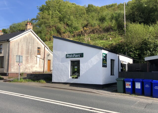
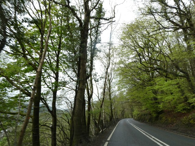
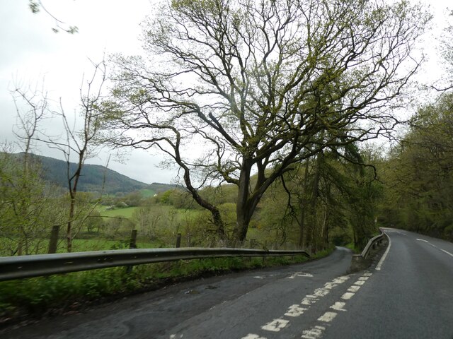
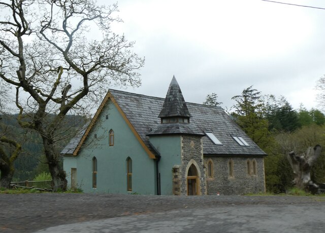
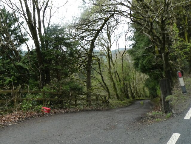
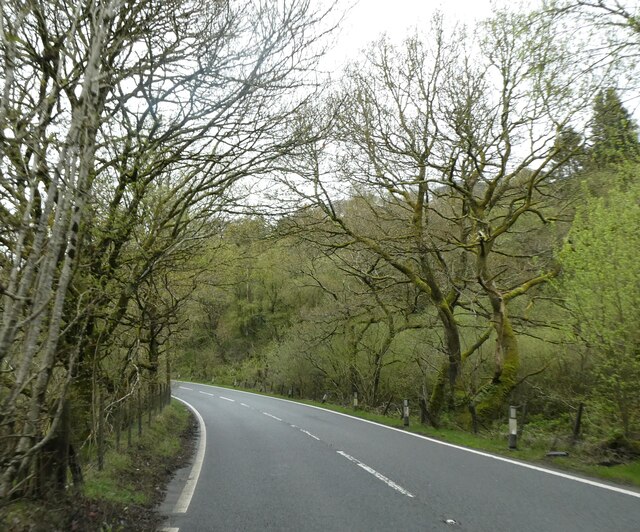
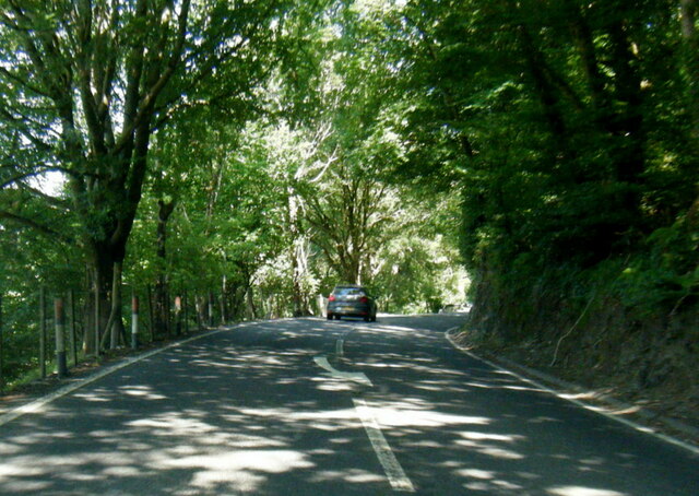
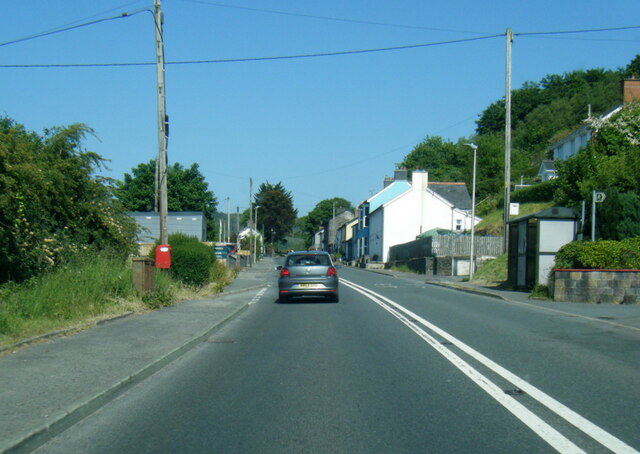
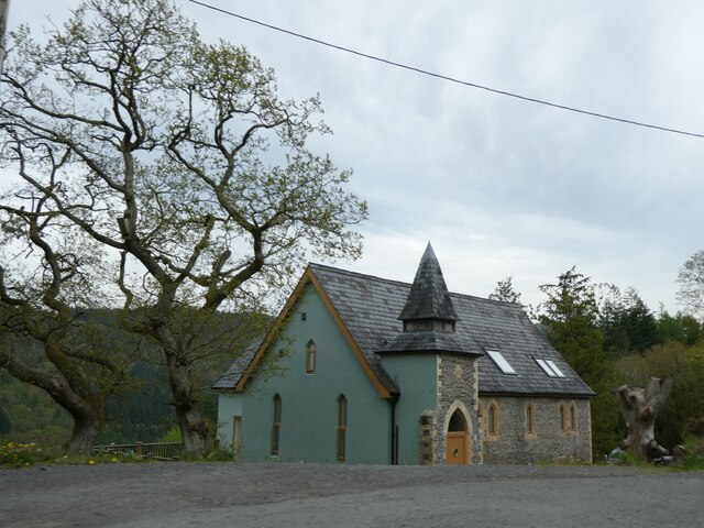
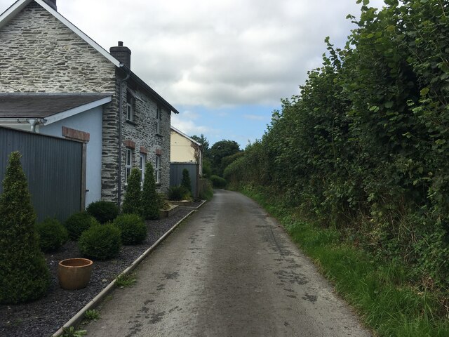
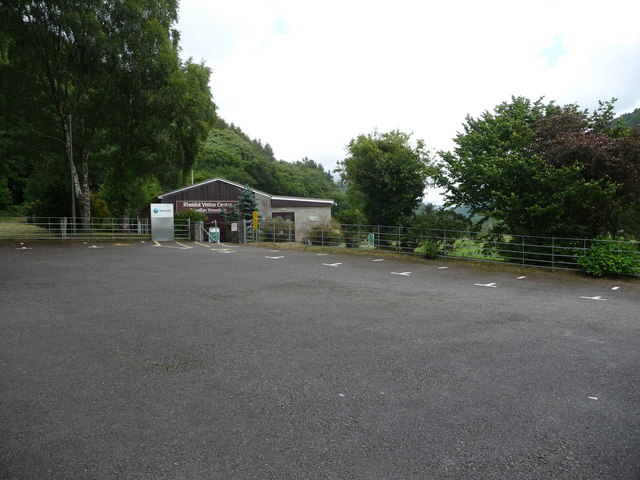
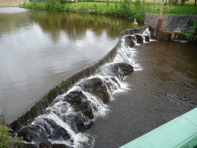
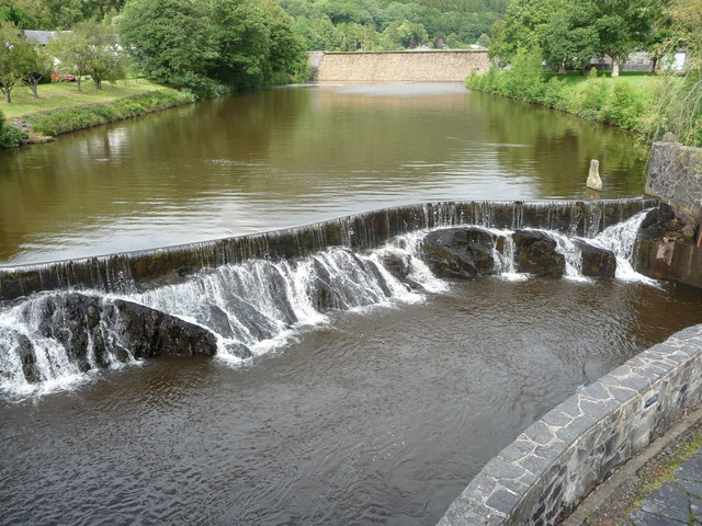
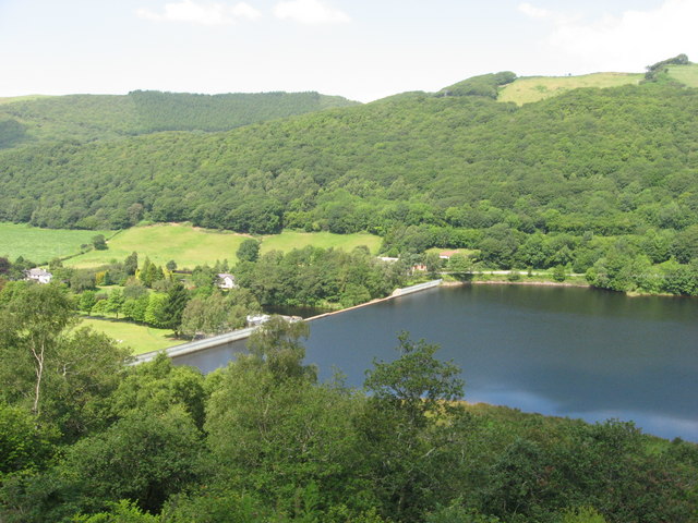
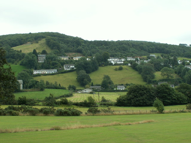
Coed Penbryn Images

Images are sourced within 2km of 52.408427/-3.9378966 or Grid Reference SN6880. Thanks to Geograph Open Source API. All images are credited.

Posh Paws Dog grooming venture at Goginan
Posh Paws
Dog grooming venture at Goginan
Allt Ty-cam [hill] With Neuadd Parc Farm visible, bottom left. Viewed from Aberffrwd.
Allt Ty-cam [hill]
With Neuadd Parc Farm visible, bottom left. Viewed from Aberffrwd.
A44 in woodland west of Goginan The A44 is a major road in the United Kingdom that runs for 155 miles from Oxford in southern England to Aberystwyth in west Wales.
<span class="nowrap"><a title="http://www.sabre-roads.org.uk/wiki/index.php?title=A44" rel="nofollow ugc noopener" href="http://www.sabre-roads.org.uk/wiki/index.php?title=A44">Link</a><img style="margin-left:2px;" alt="External link" title="External link - shift click to open in new window" src="https://s1.geograph.org.uk/img/external.png" width="10" height="10"/></span>  SABRE
<span class="nowrap"><a title="https://en.wikipedia.org/wiki/A44_road" rel="nofollow ugc noopener" href="https://en.wikipedia.org/wiki/A44_road">Link</a><img style="margin-left:2px;" alt="External link" title="External link - shift click to open in new window" src="https://s1.geograph.org.uk/img/external.png" width="10" height="10"/></span>  Wikipedia
A44 in woodland west of Goginan
The A44 is a major road in the United Kingdom that runs for 155 miles from Oxford in southern England to Aberystwyth in west Wales. LinkExternal link SABRE LinkExternal link Wikipedia
This way to Penbryn and the valley; side road from A44 The A44 is a major road in the United Kingdom that runs for 155 miles from Oxford in southern England to Aberystwyth in west Wales.
<span class="nowrap"><a title="http://www.sabre-roads.org.uk/wiki/index.php?title=A44" rel="nofollow ugc noopener" href="http://www.sabre-roads.org.uk/wiki/index.php?title=A44">Link</a><img style="margin-left:2px;" alt="External link" title="External link - shift click to open in new window" src="https://s1.geograph.org.uk/img/external.png" width="10" height="10"/></span>  SABRE
<span class="nowrap"><a title="https://en.wikipedia.org/wiki/A44_road" rel="nofollow ugc noopener" href="https://en.wikipedia.org/wiki/A44_road">Link</a><img style="margin-left:2px;" alt="External link" title="External link - shift click to open in new window" src="https://s1.geograph.org.uk/img/external.png" width="10" height="10"/></span>  Wikipedia
This way to Penbryn and the valley; side road from A44
The A44 is a major road in the United Kingdom that runs for 155 miles from Oxford in southern England to Aberystwyth in west Wales. LinkExternal link SABRE LinkExternal link Wikipedia
Goginan's abandoned church by A44
Side road from A44 to Blaendyffryn The A44 is a major road in the United Kingdom that runs for 155 miles from Oxford in southern England to Aberystwyth in west Wales.
<span class="nowrap"><a title="http://www.sabre-roads.org.uk/wiki/index.php?title=A44" rel="nofollow ugc noopener" href="http://www.sabre-roads.org.uk/wiki/index.php?title=A44">Link</a><img style="margin-left:2px;" alt="External link" title="External link - shift click to open in new window" src="https://s1.geograph.org.uk/img/external.png" width="10" height="10"/></span>  SABRE
<span class="nowrap"><a title="https://en.wikipedia.org/wiki/A44_road" rel="nofollow ugc noopener" href="https://en.wikipedia.org/wiki/A44_road">Link</a><img style="margin-left:2px;" alt="External link" title="External link - shift click to open in new window" src="https://s1.geograph.org.uk/img/external.png" width="10" height="10"/></span>  Wikipedia
Side road from A44 to Blaendyffryn
The A44 is a major road in the United Kingdom that runs for 155 miles from Oxford in southern England to Aberystwyth in west Wales. LinkExternal link SABRE LinkExternal link Wikipedia
A44 in Blaendyffryn Woods The A44 is a major road in the United Kingdom that runs for 155 miles from Oxford in southern England to Aberystwyth in west Wales.
<span class="nowrap"><a title="http://www.sabre-roads.org.uk/wiki/index.php?title=A44" rel="nofollow ugc noopener" href="http://www.sabre-roads.org.uk/wiki/index.php?title=A44">Link</a><img style="margin-left:2px;" alt="External link" title="External link - shift click to open in new window" src="https://s1.geograph.org.uk/img/external.png" width="10" height="10"/></span>  SABRE
<span class="nowrap"><a title="https://en.wikipedia.org/wiki/A44_road" rel="nofollow ugc noopener" href="https://en.wikipedia.org/wiki/A44_road">Link</a><img style="margin-left:2px;" alt="External link" title="External link - shift click to open in new window" src="https://s1.geograph.org.uk/img/external.png" width="10" height="10"/></span>  Wikipedia
A44 in Blaendyffryn Woods
The A44 is a major road in the United Kingdom that runs for 155 miles from Oxford in southern England to Aberystwyth in west Wales. LinkExternal link SABRE LinkExternal link Wikipedia
A44 south of Penbryn Farm
A44 in Goginan
A44 in Goginan
Goginan chapel
Goginan chapel
Minor road near Dolypandy
The Statkraft Rheidol Visitor Centre in Cwm Rheidol Statkraft is the company that operates the dam and powerstation here. The visitor centre is for the many visitors that come here car touring or walking or to ride the nearby railway and provides history and info on the area and the industry here.
The Statkraft Rheidol Visitor Centre in Cwm Rheidol
Statkraft is the company that operates the dam and powerstation here. The visitor centre is for the many visitors that come here car touring or walking or to ride the nearby railway and provides history and info on the area and the industry here.
Weir on the Afon Rheidol below Cwm Rheidol Reservoir Styled to look naturalistic, this weir looks very photogenic.
Weir on the Afon Rheidol below Cwm Rheidol Reservoir
Styled to look naturalistic, this weir looks very photogenic.
Weir and dam on the Afon Rheidol at Cwm Rheidol Reservoir All still very redolent of its 1960's heyday. Very nicely styled though, an uninformed visitor would hardly notice that it's all part of a man-made reservoir with powerstation etc.
Weir and dam on the Afon Rheidol at Cwm Rheidol Reservoir
All still very redolent of its 1960's heyday. Very nicely styled though, an uninformed visitor would hardly notice that it's all part of a man-made reservoir with powerstation etc.
View towards Cwm Rheidol Reservoir dam As viewed from the Vale of Rheidol Railway.
View towards Cwm Rheidol Reservoir dam
As viewed from the Vale of Rheidol Railway.
The upper extent of Pant Da Wood Pant Da Nature Reserve is managed by the Wildlife Trust of South and West Wales. 

Pant Da Wood lies about one and a half miles from Capel Bangor, beside the minor road which runs through Cwm Rheidol, and it is part of the extensive area of south-facing woodland to be found in the valley. The reserve was established in the 1980s and at that time an area of larch, planted in the 1950s, was felled and replanted with oak. In earlier times the wood was used to coppice oak and some coppice stools survive. Other species, including rowan, silver birch and beech, are also to be found.

Most of the reserve lies in the north-west corner of square <a href="https://www.geograph.org.uk/gridref/SN6778">SN6778</a> but it just extends into the south west of <a href="https://www.geograph.org.uk/gridref/SN6779">SN6779</a>. The entrance to the site is to be found at GR <a href="https://www.geograph.org.uk/gridref/SN67087879">SN67087879</a>, beside the Cwm Rheidol Road, and the northern extent is at GR <a href="https://www.geograph.org.uk/gridref/SN67067902">SN67067902</a>. The path through the reserve climbs some 100 metres over a straight distance of about 280 metres, so some zigzagging has been created so as to ease the walking gradient.

In addition to the trees, bramble and bracken scrub has been allowed to develop and this has encouraged a diversity of woodland birds. Badger sets are also to be found here.

The reserve is bordered by Ffynnon-wen and Troedrhiwlas farms and there is no public access to the site, other than from the entrance mentioned above.

In 2003 a previously unknown hill fort was discovered, by aerial survey, on the hill above Pant Da wood.

In 2007, a memorial viewpoint was constructed in the reserve to commemorate Nancy Kirk, a lecturer in geology at Aberystwyth University, who died in 2005. The memorial consists of a bench and a slate table and is set at the highest point of the reserve, where some fine views of the Rheidol Valley are to be had.

Links:
South and West Wales Wildlife Trust page <span class="nowrap"><a title="http://www.welshwildlife.org/nature-reserve/pant-da-rheidol-valley-ceredigion/" rel="nofollow ugc noopener" href="http://www.welshwildlife.org/nature-reserve/pant-da-rheidol-valley-ceredigion/">Link</a><img style="margin-left:2px;" alt="External link" title="External link - shift click to open in new window" src="https://s1.geograph.org.uk/img/external.png" width="10" height="10"/></span>
RCAHMW page <span class="nowrap"><a title="http://www.coflein.gov.uk/en/site/308517/details/PANT+DA+WOOD/" rel="nofollow ugc noopener" href="http://www.coflein.gov.uk/en/site/308517/details/PANT+DA+WOOD/">Link</a><img style="margin-left:2px;" alt="External link" title="External link - shift click to open in new window" src="https://s1.geograph.org.uk/img/external.png" width="10" height="10"/></span>
Nancy Kirk <span class="nowrap"><a title="http://abergeologists.net/wp/2005/12/03/nancy-kirk-1916-2005/" rel="nofollow ugc noopener" href="http://abergeologists.net/wp/2005/12/03/nancy-kirk-1916-2005/">Link</a><img style="margin-left:2px;" alt="External link" title="External link - shift click to open in new window" src="https://s1.geograph.org.uk/img/external.png" width="10" height="10"/></span>
The upper extent of Pant Da Wood
Pant Da Nature Reserve is managed by the Wildlife Trust of South and West Wales. Pant Da Wood lies about one and a half miles from Capel Bangor, beside the minor road which runs through Cwm Rheidol, and it is part of the extensive area of south-facing woodland to be found in the valley. The reserve was established in the 1980s and at that time an area of larch, planted in the 1950s, was felled and replanted with oak. In earlier times the wood was used to coppice oak and some coppice stools survive. Other species, including rowan, silver birch and beech, are also to be found. Most of the reserve lies in the north-west corner of square SN6778 but it just extends into the south west of SN6779. The entrance to the site is to be found at GR SN67087879, beside the Cwm Rheidol Road, and the northern extent is at GR SN67067902. The path through the reserve climbs some 100 metres over a straight distance of about 280 metres, so some zigzagging has been created so as to ease the walking gradient. In addition to the trees, bramble and bracken scrub has been allowed to develop and this has encouraged a diversity of woodland birds. Badger sets are also to be found here. The reserve is bordered by Ffynnon-wen and Troedrhiwlas farms and there is no public access to the site, other than from the entrance mentioned above. In 2003 a previously unknown hill fort was discovered, by aerial survey, on the hill above Pant Da wood. In 2007, a memorial viewpoint was constructed in the reserve to commemorate Nancy Kirk, a lecturer in geology at Aberystwyth University, who died in 2005. The memorial consists of a bench and a slate table and is set at the highest point of the reserve, where some fine views of the Rheidol Valley are to be had. Links: South and West Wales Wildlife Trust page LinkExternal link RCAHMW page LinkExternal link Nancy Kirk LinkExternal link
A naked tree viewed from the top of Pant Da Woods Pant Da Nature Reserve is managed by the Wildlife Trust of South and West Wales. 

Pant Da Wood lies about one and a half miles from Capel Bangor, beside the minor road which runs through Cwm Rheidol, and it is part of the extensive area of south-facing woodland to be found in the valley. The reserve was established in the 1980s and at that time an area of larch, planted in the 1950s, was felled and replanted with oak. In earlier times the wood was used to coppice oak and some coppice stools survive. Other species, including rowan, silver birch and beech, are also to be found.

Most of the reserve lies in the north-west corner of square <a href="https://www.geograph.org.uk/gridref/SN6778">SN6778</a> but it just extends into the south west of <a href="https://www.geograph.org.uk/gridref/SN6779">SN6779</a>. The entrance to the site is to be found at GR <a href="https://www.geograph.org.uk/gridref/SN67087879">SN67087879</a>, beside the Cwm Rheidol Road, and the northern extent is at GR <a href="https://www.geograph.org.uk/gridref/SN67067902">SN67067902</a>. The path through the reserve climbs some 100 metres over a straight distance of about 280 metres, so some zigzagging has been created so as to ease the walking gradient.

In addition to the trees, bramble and bracken scrub has been allowed to develop and this has encouraged a diversity of woodland birds. Badger sets are also to be found here.

The reserve is bordered by Ffynnon-wen and Troedrhiwlas farms and there is no public access to the site, other than from the entrance mentioned above.

In 2003 a previously unknown hill fort was discovered, by aerial survey, on the hill above Pant Da wood.

In 2007, a memorial viewpoint was constructed in the reserve to commemorate Nancy Kirk, a lecturer in geology at Aberystwyth University, who died in 2005. The memorial consists of a bench and a slate table and is set at the highest point of the reserve, where some fine views of the Rheidol Valley are to be had.

Links:
South and West Wales Wildlife Trust page <span class="nowrap"><a title="http://www.welshwildlife.org/nature-reserve/pant-da-rheidol-valley-ceredigion/" rel="nofollow ugc noopener" href="http://www.welshwildlife.org/nature-reserve/pant-da-rheidol-valley-ceredigion/">Link</a><img style="margin-left:2px;" alt="External link" title="External link - shift click to open in new window" src="https://s1.geograph.org.uk/img/external.png" width="10" height="10"/></span>
RCAHMW page <span class="nowrap"><a title="http://www.coflein.gov.uk/en/site/308517/details/PANT+DA+WOOD/" rel="nofollow ugc noopener" href="http://www.coflein.gov.uk/en/site/308517/details/PANT+DA+WOOD/">Link</a><img style="margin-left:2px;" alt="External link" title="External link - shift click to open in new window" src="https://s1.geograph.org.uk/img/external.png" width="10" height="10"/></span>
Nancy Kirk <span class="nowrap"><a title="http://abergeologists.net/wp/2005/12/03/nancy-kirk-1916-2005/" rel="nofollow ugc noopener" href="http://abergeologists.net/wp/2005/12/03/nancy-kirk-1916-2005/">Link</a><img style="margin-left:2px;" alt="External link" title="External link - shift click to open in new window" src="https://s1.geograph.org.uk/img/external.png" width="10" height="10"/></span>
A naked tree viewed from the top of Pant Da Woods
Pant Da Nature Reserve is managed by the Wildlife Trust of South and West Wales. Pant Da Wood lies about one and a half miles from Capel Bangor, beside the minor road which runs through Cwm Rheidol, and it is part of the extensive area of south-facing woodland to be found in the valley. The reserve was established in the 1980s and at that time an area of larch, planted in the 1950s, was felled and replanted with oak. In earlier times the wood was used to coppice oak and some coppice stools survive. Other species, including rowan, silver birch and beech, are also to be found. Most of the reserve lies in the north-west corner of square SN6778 but it just extends into the south west of SN6779. The entrance to the site is to be found at GR SN67087879, beside the Cwm Rheidol Road, and the northern extent is at GR SN67067902. The path through the reserve climbs some 100 metres over a straight distance of about 280 metres, so some zigzagging has been created so as to ease the walking gradient. In addition to the trees, bramble and bracken scrub has been allowed to develop and this has encouraged a diversity of woodland birds. Badger sets are also to be found here. The reserve is bordered by Ffynnon-wen and Troedrhiwlas farms and there is no public access to the site, other than from the entrance mentioned above. In 2003 a previously unknown hill fort was discovered, by aerial survey, on the hill above Pant Da wood. In 2007, a memorial viewpoint was constructed in the reserve to commemorate Nancy Kirk, a lecturer in geology at Aberystwyth University, who died in 2005. The memorial consists of a bench and a slate table and is set at the highest point of the reserve, where some fine views of the Rheidol Valley are to be had. Links: South and West Wales Wildlife Trust page LinkExternal link RCAHMW page LinkExternal link Nancy Kirk LinkExternal link
Cottages in Cwm Rheidol On the minor road along the valley floor, between Nantyronen and Aberffrwd. A telephoto shot taken from Pisgah. In the field behind, two cart horses enjoy the January sun.
Cottages in Cwm Rheidol
On the minor road along the valley floor, between Nantyronen and Aberffrwd. A telephoto shot taken from Pisgah. In the field behind, two cart horses enjoy the January sun.
Show me another place!

Coed Penbryn is located at Grid Ref: SN6880 (Lat: 52.408427, Lng: -3.9378966)

Unitary Authority: Ceredigion

Police Authority: Dyfed Powys

What 3 Words

///tactical.claw.vision. Near Bow Street, Ceredigion

Related Wikis

Goginan

Goginan is a small village in Ceredigion, about 7 miles outside Aberystwyth on the A44 between Ponterwyd and Capel Bangor. The Afon Melindwr runs through...

Dollwen

Dollwen is a hamlet in the community of Melindwr, Ceredigion, Wales, which is 72.1 miles (116 km) from Cardiff and 173.6 miles (279.4 km) from London...

Melindwr

Melindwr is a community in the county of Ceredigion, Wales, to the east of Aberystwyth and is 71.6 miles (115.1 km) from Cardiff and 173.8 miles (279.7...

Aberffrwd, Ceredigion

Aberffrwd is a village in the Welsh principal area of Ceredigion. It has a railway station on the narrow-gauge Vale of Rheidol Railway, which was operated...

Aberffrwd railway station

Aberffrwd railway station is a railway station serving Aberffrwd in Ceredigion in Mid-Wales, and is an intermediate stop on the preserved Vale of Rheidol...

Daren

Daren is a hamlet bach in the community of Trefeurig, Ceredigion, Wales, which is 73.2 miles (117.7 km) from Cardiff and 174.5 miles (280.8 km) from London...

Afon Rheidol

The Afon Rheidol ("river Rheidol") is a river in Ceredigion, Wales, 19 miles (31 km) in length. The source is Plynlimon. Receiving an average annual rainfall...

Capel Bangor

Capel Bangor (Welsh: Penllwyn) is a small village in Ceredigion, Wales, approximately 5 miles (8.0 km) east of Aberystwyth. The A44 road and the seasonal...

Nearby Amenities

Located within 500m of 52.408427,-3.9378966
Place: farm
Lat/Long: 52.4109362/-3.937247
Place: farm
Lat/Long: 52.4049672/-3.9416243
Barrier: stile
Foot: yes
Stile: stepover
Lat/Long: 52.4112778/-3.9348635
Power: pole
Lat/Long: 52.4077108/-3.9421445
Power: pole
Lat/Long: 52.406266/-3.9416939
Power: pole
Lat/Long: 52.4059796/-3.9410663
Power: pole
Lat/Long: 52.4057489/-3.9400792
Power: pole
Lat/Long: 52.4054658/-3.9388856
Power: pole
Lat/Long: 52.4051909/-3.937574
Power: pole
Lat/Long: 52.4049357/-3.936587
Power: pole
Lat/Long: 52.4046706/-3.9353156
Power: pole
Lat/Long: 52.4051075/-3.9339182
Power: pole
Lat/Long: 52.4055477/-3.9325368
The data included in this document is from www.openstreetmap.org. The data is made available under ODbL.

Have you been to Coed Penbryn?

Leave your review of Coed Penbryn below (or comments, questions and feedback).