Coed y Darren
Wood, Forest in Cardiganshire
Wales
Coed y Darren
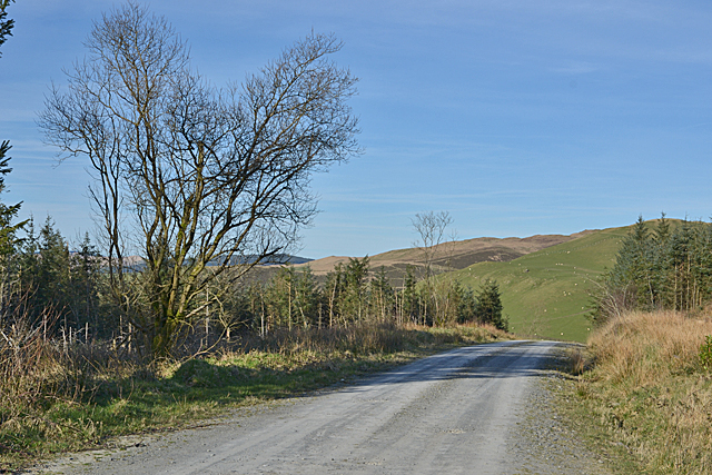
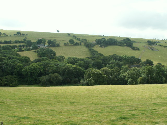
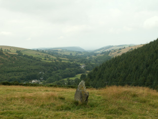
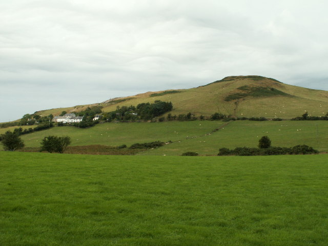
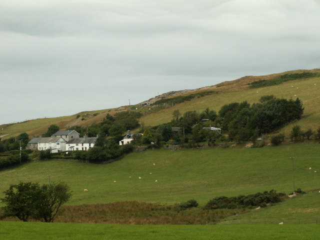
Coed y Darren, located in Cardiganshire, is a picturesque wood or forest area known for its natural beauty and diverse range of flora and fauna. Spanning approximately 200 acres, this woodland is a popular destination for nature lovers, hikers, and wildlife enthusiasts.
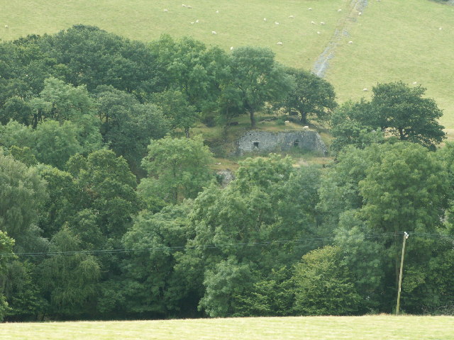
The forest boasts a variety of tree species, including oak, beech, birch, and pine, which create a lush and vibrant canopy. These towering trees provide a sheltered habitat for numerous bird species, such as woodpeckers, owls, and various smaller songbirds. The forest floor is carpeted with an array of wildflowers, ferns, and mosses, adding to the enchanting atmosphere of the woodland.
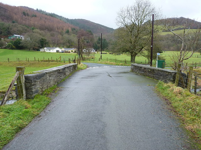
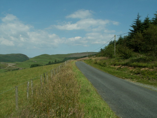
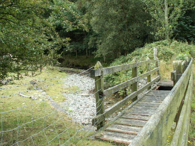
Several well-maintained trails wind through Coed y Darren, offering visitors the opportunity to explore its beauty at their own pace. Along these trails, one can find hidden streams, cascading waterfalls, and small ponds, providing a serene and tranquil backdrop for relaxation or picnicking.
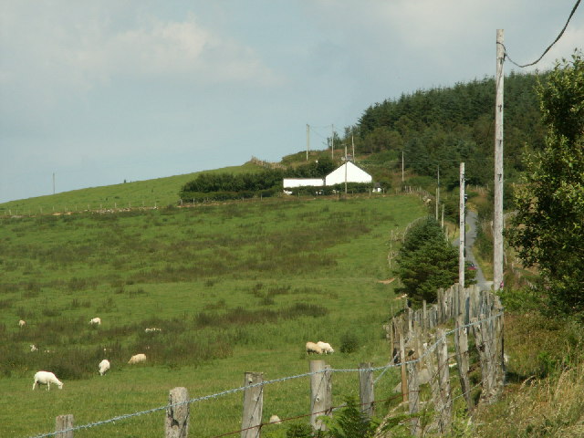
The forest is also home to an array of wildlife, including squirrels, rabbits, and foxes. Lucky visitors may even catch a glimpse of the elusive red deer or wild boar that occasionally roam the area.
Coed y Darren is a haven for those seeking an escape from the hustle and bustle of everyday life. Its peaceful ambiance, natural splendor, and abundant wildlife make it a perfect destination for outdoor enthusiasts and nature lovers alike.
If you have any feedback on the listing, please let us know in the comments section below.
Coed y Darren Images
Images are sourced within 2km of 52.431463/-3.9444677 or Grid Reference SN6783. Thanks to Geograph Open Source API. All images are credited.


Coed y Darren is located at Grid Ref: SN6783 (Lat: 52.431463, Lng: -3.9444677)
Unitary Authority: Ceredigion
Police Authority: Dyfed Powys
What 3 Words
///verges.never.flask. Near Bow Street, Ceredigion
Nearby Locations
Related Wikis

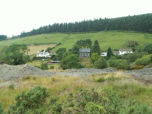
Pen-bont-rhyd-y-beddau
Pen-bont-rhyd-y-beddau is a small village in the community of Trefeurig, Ceredigion, Wales, which is 73.7 miles (118.6 km) from Cardiff and 174.8 miles...
Daren
Daren is a hamlet bach in the community of Trefeurig, Ceredigion, Wales, which is 73.2 miles (117.7 km) from Cardiff and 174.5 miles (280.8 km) from London...
Pen-Rhiw-Newydd
Penrhiwnewydd is a hamlet in the community of Trefeurig, Ceredigion, Wales, which is 74.1 miles (119.2 km) from Cardiff and 175.3 miles (282 km) from London...
Salem, Ceredigion
Salem is a small Welsh village in Ceredigion, located between the Afon Stewi and Nant Seilo rivers. The closest village is Penrhyn-coch. The Salem Independent...

Cwmerfyn
Cwmerfyn (historically Cwm-erfin or Cwmerfin) is a hamlet in the community of Trefeurig, Ceredigion, Wales, nine miles (14 km) by road east of Aberystwyth...
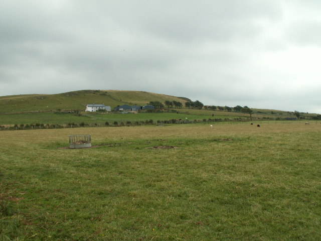
Broginin
Broginin is a hamlet in the community of Trefeurig, Ceredigion, Wales, which is 74.6 miles (120 km) from Cardiff and 175.7 miles (282.8 km) from London...

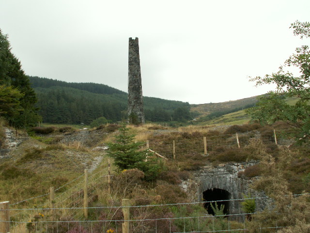
Cwmsymlog
Cwmsymlog is a short valley, sheltering a hamlet of the same name, in Ceredigion, in the west of Wales. Once an important mining area, but the mining slowly...
Dollwen
Dollwen is a hamlet in the community of Melindwr, Ceredigion, Wales, which is 72.1 miles (116 km) from Cardiff and 173.6 miles (279.4 km) from London...
Nearby Amenities
Located within 500m of 52.431463,-3.9444677Have you been to Coed y Darren?
Leave your review of Coed y Darren below (or comments, questions and feedback).