Pen-bont Rhydybeddau

Settlement in Cardiganshire

Wales

Pen-bont Rhydybeddau

Road junction near Bont-goch
Road junction near Bont-goch Credit: John Lord

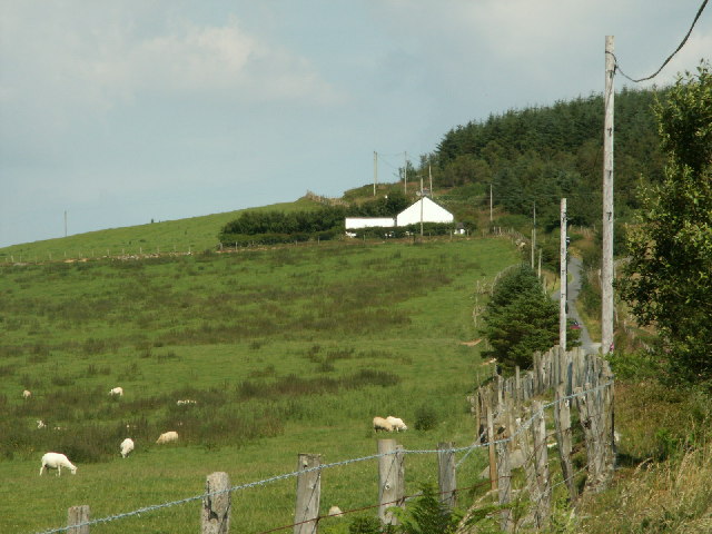
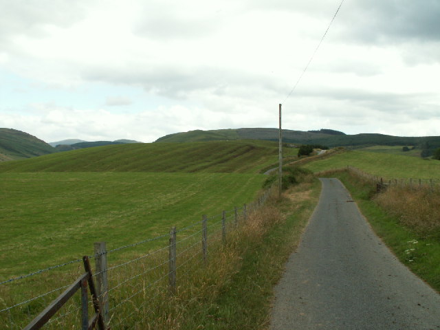
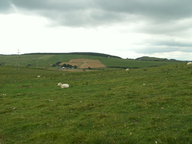
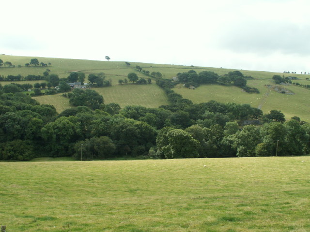
Pen-bont Rhydybeddau is a small village located in the county of Cardiganshire, Wales. Situated in the picturesque Teifi Valley, it is enveloped by rolling hills and lush green landscapes. The village is positioned on the banks of the River Teifi, which meanders through the area, adding to the charm and tranquility of the surroundings.

With a population of around 500 residents, Pen-bont Rhydybeddau has a close-knit community that prides itself on its Welsh heritage and culture. The Welsh language is widely spoken in the village, reflecting the deep-rooted traditions and history of the area.

The village boasts a range of amenities to cater to its residents' needs, including a local pub, a post office, and a convenience store. Additionally, the village is well-served by public transportation, with regular bus services connecting it to nearby towns and cities.

Nature lovers and outdoor enthusiasts are drawn to Pen-bont Rhydybeddau due to its proximity to stunning natural attractions. The village is surrounded by picturesque hiking trails, perfect for exploring the breathtaking Welsh countryside. The nearby Cors Caron Nature Reserve, a vast wetland area with diverse flora and fauna, is a popular destination for birdwatching and wildlife spotting.

Overall, Pen-bont Rhydybeddau offers a peaceful and idyllic lifestyle, with its beautiful surroundings and strong community spirit, making it an appealing place to reside for those seeking a rural retreat in the heart of Cardiganshire.

If you have any feedback on the listing, please let us know in the comments section below.

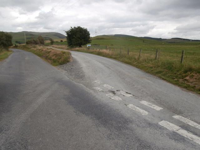
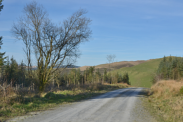
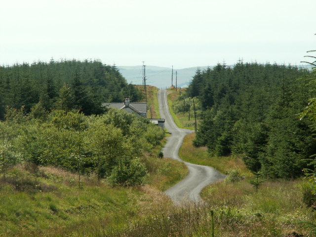
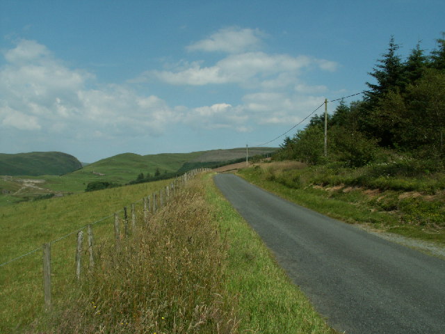
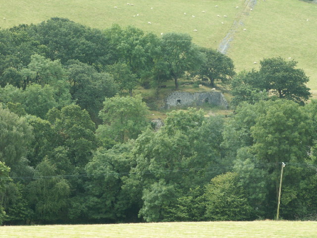
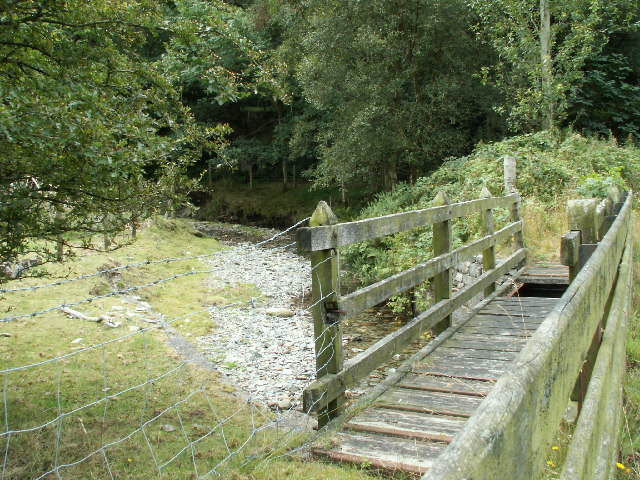
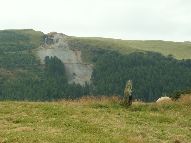
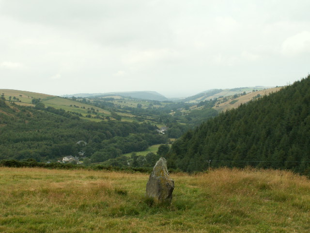
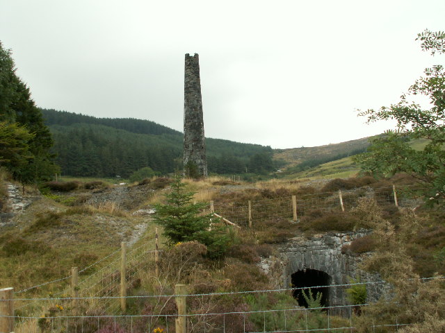
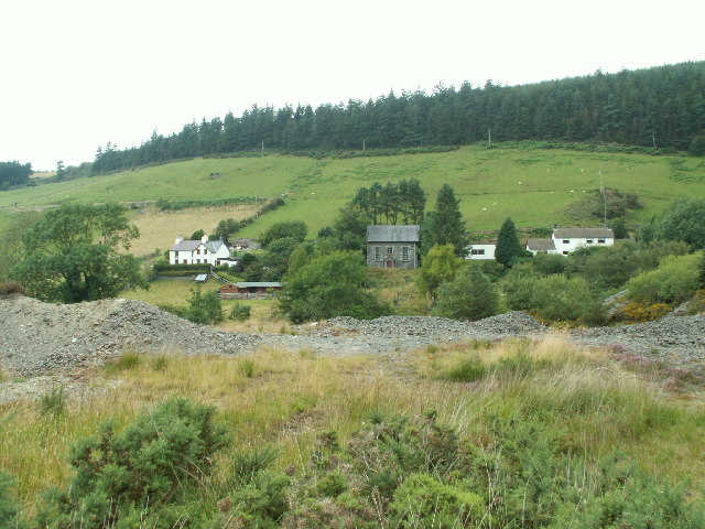
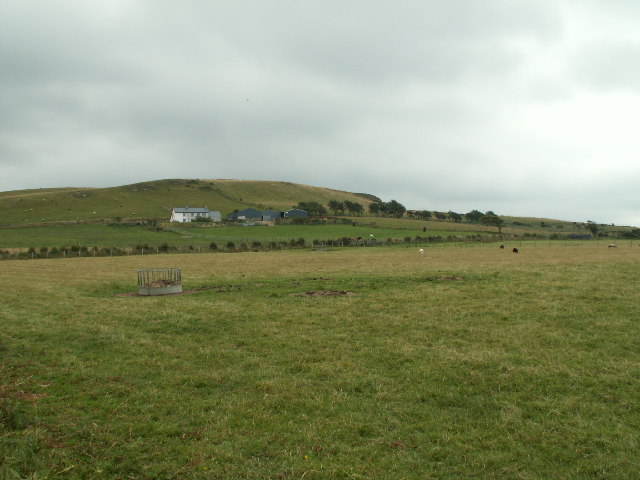
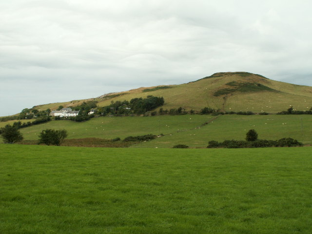
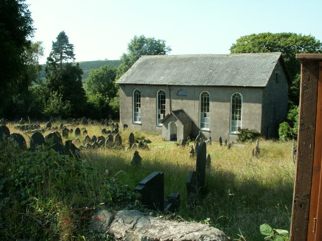
Pen-bont Rhydybeddau Images

Images are sourced within 2km of 52.435485/-3.945991 or Grid Reference SN6783. Thanks to Geograph Open Source API. All images are credited.

Road junction near Bont-goch
Track to Blaencastell A forestry track which also gives access to Blaencastell. The Rheidol Study Centre was based here, subsequently taken over by the Rhoserchan Drug Rehabilitation Project, which went into liquidation in 2013. A signpost at the start of the track still indicates Rhoserchan.
Track to Blaencastell
A forestry track which also gives access to Blaencastell. The Rheidol Study Centre was based here, subsequently taken over by the Rhoserchan Drug Rehabilitation Project, which went into liquidation in 2013. A signpost at the start of the track still indicates Rhoserchan.
Banc Clawddmelyn The road runs straight for several miles along the top of this ridge, with forestry on either side at this point. Looking W.
Banc Clawddmelyn
The road runs straight for several miles along the top of this ridge, with forestry on either side at this point. Looking W.
Banc Clawddmelyn The road along Banc Clawddmelyn, looking E. towards the Nant-y-moch area.
Banc Clawddmelyn
The road along Banc Clawddmelyn, looking E. towards the Nant-y-moch area.
Pasture, Llwyn Prysg Pasture, house and forestry by the roadside near Llwyn Prysg
Pasture, Llwyn Prysg
Pasture, house and forestry by the roadside near Llwyn Prysg
Capel Salem The chapel in Salem, Coed Gruffydd, near Penrhyncoch, built in 1824 as an Independent chapel. Rebuilt 1850 and extended in 1864.
Capel Salem
The chapel in Salem, Coed Gruffydd, near Penrhyncoch, built in 1824 as an Independent chapel. Rebuilt 1850 and extended in 1864.
Pasture, near Llety-Ifan Hen Rough pasture beside hill road leading E. to Llety-Ifan Hen.
Pasture, near Llety-Ifan Hen
Rough pasture beside hill road leading E. to Llety-Ifan Hen.
Pasture, Banc Troedrhiwseiri Upland pasture on Banc Troedrhiwseiri, with Mynydd Gorddu farm in the distance. Looking N.
Pasture, Banc Troedrhiwseiri
Upland pasture on Banc Troedrhiwseiri, with Mynydd Gorddu farm in the distance. Looking N.
Nant Silo Looking S across Nant Silo, remains of Bron Flwyd (Bronllwyd) leadmine on right
Nant Silo
Looking S across Nant Silo, remains of Bron Flwyd (Bronllwyd) leadmine on right
Bron Floyd leadmine Remains of part of the Bron Floyd (Bronllwyd) lead mine. Originally worked c. 1600 and re-opened for a while in mid 1800s.
Bron Floyd leadmine
Remains of part of the Bron Floyd (Bronllwyd) lead mine. Originally worked c. 1600 and re-opened for a while in mid 1800s.
Footbridge, Pen-bont Rhydybeddau Footbridge (disused?) across Nant Silo next to modern road bridge that replaces the original ford.
Footbridge, Pen-bont Rhydybeddau
Footbridge (disused?) across Nant Silo next to modern road bridge that replaces the original ford.
Cerrig-yr-Wyn One of the two standing stones called 'Cerrig-yr-Wyn', each about three ft high and about 200yds apart. Looking SW. The scar on the hillside opposite is the old Darren metal mine (in SN6782), which was originally worked in the mid 16th Cent. There is also the remains of a hill fort on top of the hill.
Cerrig-yr-Wyn
One of the two standing stones called 'Cerrig-yr-Wyn', each about three ft high and about 200yds apart. Looking SW. The scar on the hillside opposite is the old Darren metal mine (in SN6782), which was originally worked in the mid 16th Cent. There is also the remains of a hill fort on top of the hill.
Gatepost and standing stone Old stone gatepost and one of the two standing stones (in the middle of the field) that make up 'Cerrig-yr-Wyn'. Looking S.
Gatepost and standing stone
Old stone gatepost and one of the two standing stones (in the middle of the field) that make up 'Cerrig-yr-Wyn'. Looking S.
Cerrig yr Wyn One of the two standing stones called Cerrig yr Wyn, looking West up the valley of Nant Silo and Clarach to Clarach bay on the coast in the distance (the obvious headland is the S shore of the bay, about 10km away)
Cerrig yr Wyn
One of the two standing stones called Cerrig yr Wyn, looking West up the valley of Nant Silo and Clarach to Clarach bay on the coast in the distance (the obvious headland is the S shore of the bay, about 10km away)
Chimney, Cwmsymlog Mine Chimney and entrance to the shaft of the Cwmsymlog mine (silver and lead 17th-19th century)
Chimney, Cwmsymlog Mine
Chimney and entrance to the shaft of the Cwmsymlog mine (silver and lead 17th-19th century)
Chapel and houses, Cwmsymlog Tabernacl Welsh Baptist Chapel, Cwmsymlog (est. 1843) with housing and spoil heaps from the old metal mine in the foreground. Looking N.
Chapel and houses, Cwmsymlog
Tabernacl Welsh Baptist Chapel, Cwmsymlog (est. 1843) with housing and spoil heaps from the old metal mine in the foreground. Looking N.
Moelfryn Pasture surrounding Moelfryn farm, looking SE. Altitude approx 280m.
Moelfryn
Pasture surrounding Moelfryn farm, looking SE. Altitude approx 280m.
Banc y Darren The hamlet of Darren below the hill of Banc y Darren. There is a fort on top of the hill. Looking NW.
Banc y Darren
The hamlet of Darren below the hill of Banc y Darren. There is a fort on top of the hill. Looking NW.
Show me another place!

Pen-bont Rhydybeddau is located at Grid Ref: SN6783 (Lat: 52.435485, Lng: -3.945991)

Unitary Authority: Ceredigion

Police Authority: Dyfed Powys

Also known as: Pen-bont-rhyd-y-beddau

What 3 Words

///renders.straddled.romance. Near Bow Street, Ceredigion

Related Wikis

Pen-bont-rhyd-y-beddau

Pen-bont-rhyd-y-beddau is a small village in the community of Trefeurig, Ceredigion, Wales, which is 73.7 miles (118.6 km) from Cardiff and 174.8 miles...

Pen-Rhiw-Newydd

Penrhiwnewydd is a hamlet in the community of Trefeurig, Ceredigion, Wales, which is 74.1 miles (119.2 km) from Cardiff and 175.3 miles (282 km) from London...

Daren

Daren is a hamlet bach in the community of Trefeurig, Ceredigion, Wales, which is 73.2 miles (117.7 km) from Cardiff and 174.5 miles (280.8 km) from London...

Salem, Ceredigion

Salem is a small Welsh village in Ceredigion, located between the Afon Stewi and Nant Seilo rivers. The closest village is Penrhyn-coch. The Salem Independent...

Nearby Amenities

Located within 500m of 52.435485,-3.945991
Post Box
Ref: SY23 158
Lat/Long: 52.4336331/-3.9438999
Building: yes
Lat/Long: 52.4348991/-3.9523342
Building: yes
Lat/Long: 52.4353963/-3.9480856
Building: yes
Lat/Long: 52.4348861/-3.9450386
Building: yes
Lat/Long: 52.4342712/-3.9409617
Building: yes
Lat/Long: 52.4327275/-3.9405325
Give Way
Direction: backward
Lat/Long: 52.4341472/-3.9469184
The data included in this document is from www.openstreetmap.org. The data is made available under ODbL.

Have you been to Pen-bont Rhydybeddau?

Leave your review of Pen-bont Rhydybeddau below (or comments, questions and feedback).