Gwern-Fadog Plantation
Wood, Forest in Glamorgan
Wales
Gwern-Fadog Plantation
Gwern-Fadog Plantation is a woodland area located in the county of Glamorgan, Wales. Spanning over a vast area, this plantation is renowned for its dense forest and diverse range of tree species. The woodland is primarily composed of broadleaf trees such as oak, beech, and ash, which create a lush and vibrant environment.
The plantation is well-maintained and managed to ensure the preservation of its natural beauty and ecological balance. The trees are regularly monitored and cared for, with selective thinning and pruning practices employed to promote healthy growth and maintain the integrity of the woodland ecosystem.
Gwern-Fadog Plantation is also home to a variety of wildlife. The dense cover and abundance of food sources provide an ideal habitat for numerous bird species, including woodpeckers, owls, and various songbirds. Small mammals, such as squirrels, rabbits, and foxes, can also be found within the woodland.
The woodland offers a serene and peaceful environment, making it a popular destination for nature enthusiasts and hikers. Visitors can explore the numerous walking trails that wind through the plantation, allowing them to immerse themselves in the tranquility of nature. The plantation is also a great spot for picnicking, wildlife watching, and photography.
Overall, Gwern-Fadog Plantation in Glamorgan is a remarkable woodland area that offers both beauty and biodiversity. Its well-preserved natural habitat and scenic trails make it an ideal destination for those seeking a peaceful retreat in the heart of nature.
If you have any feedback on the listing, please let us know in the comments section below.
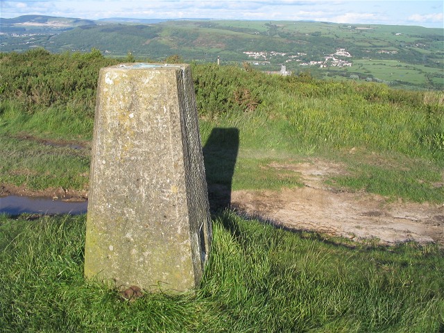
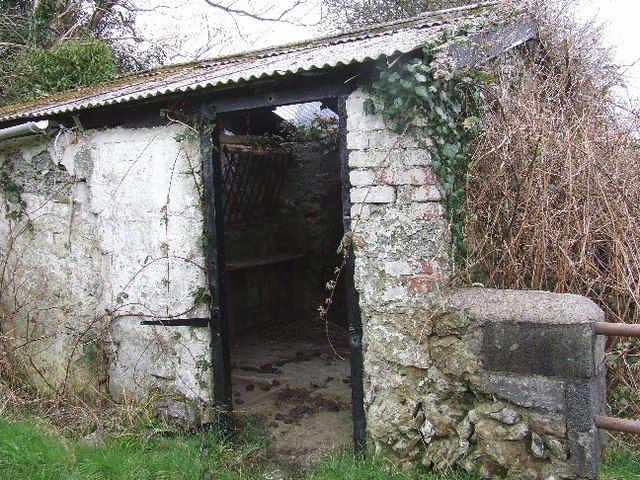
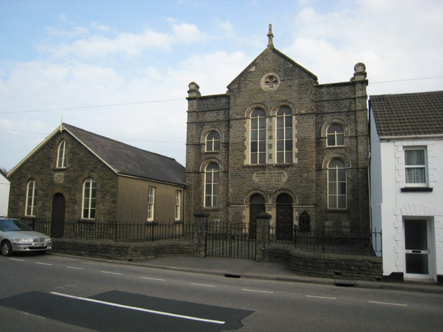
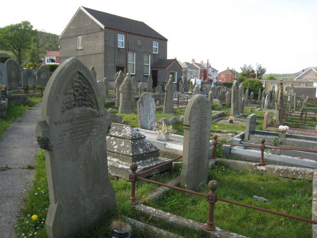
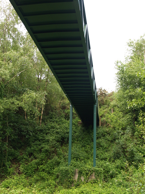
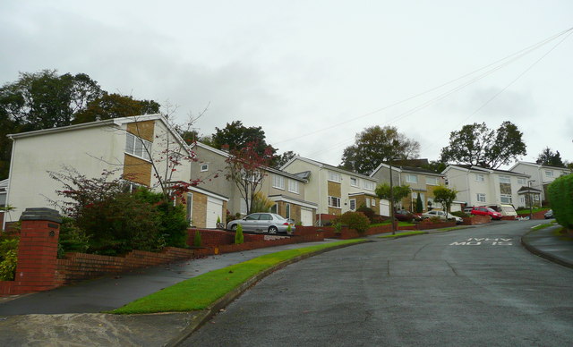
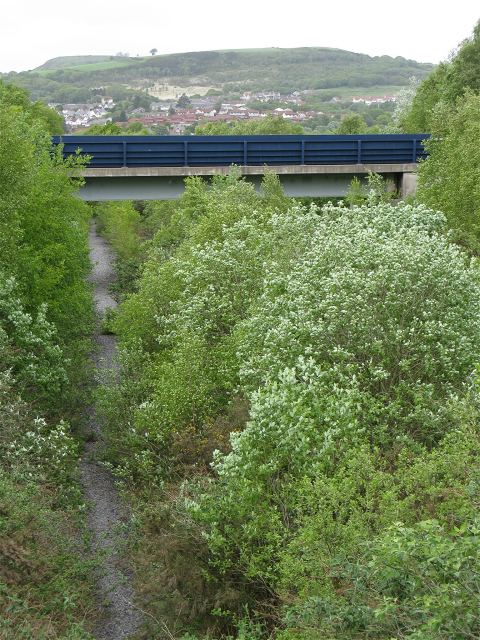
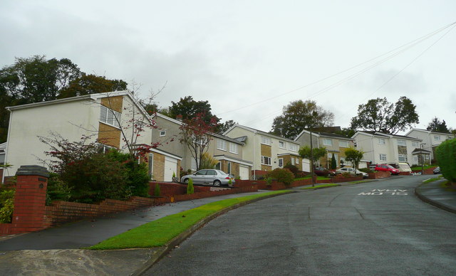
Gwern-Fadog Plantation Images
Images are sourced within 2km of 51.684785/-3.9156414 or Grid Reference SN6700. Thanks to Geograph Open Source API. All images are credited.


Gwern-Fadog Plantation is located at Grid Ref: SN6700 (Lat: 51.684785, Lng: -3.9156414)
Unitary Authority: Swansea
Police Authority: South Wales
What 3 Words
///quilt.boom.adjusted. Near Clydach, Swansea
Nearby Locations
Related Wikis

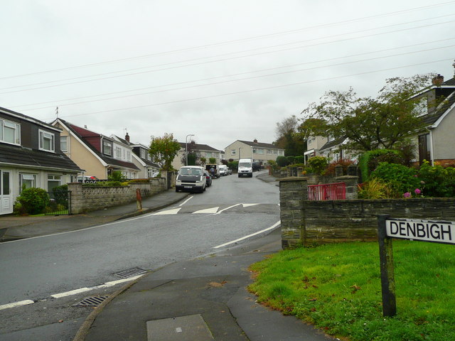
Cwmrhydyceirw
Cwmrhydyceirw is a village in the City and County of Swansea, south Wales. The village is located about 1 mile north of Morriston town centre. It is home...
Ynystawe
Ynystawe (also Ynysdawe in Welsh; Welsh pronunciation: [ənɨ̞s.taʊ.ɛ]) is a village in the City and County of Swansea, Wales, and in the electoral ward...
Clydach, Swansea
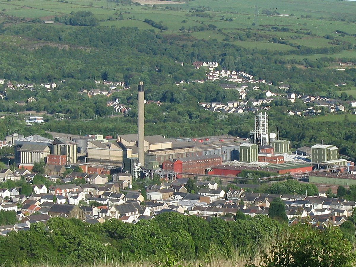
Clydach is both a village and a community in Swansea, Wales, within the Clydach ward and the Llangyfelach parish. It is located 6 miles (9.7 km) northeast...
Ynysforgan
Ynysforgan is a village in Swansea, Wales, between Morriston and Ynystawe, just off junction 45 of the M4 motorway The origins of its name are not known...

Lower Swansea valley
The Lower Swansea valley (Welsh: Cwm Tawe Isaf) is the lower half of the valley of the River Tawe in south Wales. It runs from approximately the level...

Clydach-on-Tawe railway station
Clydach-on-Tawe railway station served the community of Clydach and Ynystawe in Swansea, Wales from 1885 to 1965 on the Swansea Vale Railway. == History... ==
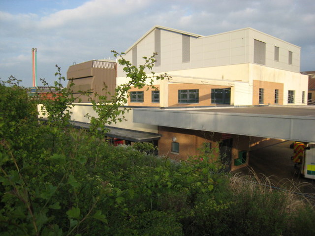
Morriston Hospital
Morriston Hospital (Welsh: Ysbyty Treforys) is a 750-bed hospital located in Cwmrhydyceirw near Morriston in Swansea, Wales. It is managed by Swansea Bay...
Morriston Town A.F.C.
Morriston Town Football Club is an amateur association football team based in Morriston, Swansea, Wales. The club plays in the Ardal Leagues South West...
Nearby Amenities
Located within 500m of 51.684785,-3.9156414Have you been to Gwern-Fadog Plantation?
Leave your review of Gwern-Fadog Plantation below (or comments, questions and feedback).