Bryn-Gwenyn Covert
Wood, Forest in Merionethshire
Wales
Bryn-Gwenyn Covert
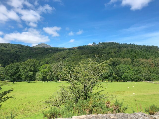
Bryn-Gwenyn Covert is a serene woodland located in the county of Merionethshire, Wales. This enchanting forest covers an area of approximately 200 acres and is situated near the village of Bryn-Gwenyn. The name "Bryn-Gwenyn" translates to "Hill of Bees" in the Welsh language, showcasing the historical importance of this area for beekeeping.
The woodland is primarily composed of native tree species such as oak, birch, and beech, which form a dense canopy, providing shade and shelter to a diverse range of flora and fauna. The forest floor is carpeted with an array of wildflowers, creating a vibrant and picturesque landscape during spring and summer months.
Bryn-Gwenyn Covert is renowned for its rich biodiversity. It is home to numerous wildlife species including red squirrels, badgers, foxes, and a variety of bird species such as woodpeckers, owls, and warblers. The tranquil atmosphere of the woodland attracts nature enthusiasts, hikers, and birdwatchers alike, offering a perfect opportunity to reconnect with nature and appreciate the beauty of the natural world.
Visitors to Bryn-Gwenyn Covert can explore its well-maintained walking trails, which meander through the forest, allowing them to immerse themselves in the peaceful ambiance and enjoy the captivating surroundings. The woodland also features picnic areas and benches, providing visitors with a chance to relax and enjoy a leisurely meal amidst the tranquility of nature.
Overall, Bryn-Gwenyn Covert is a hidden gem in Merionethshire, offering a haven of natural beauty, biodiversity, and tranquility for all who venture into its embrace.
If you have any feedback on the listing, please let us know in the comments section below.
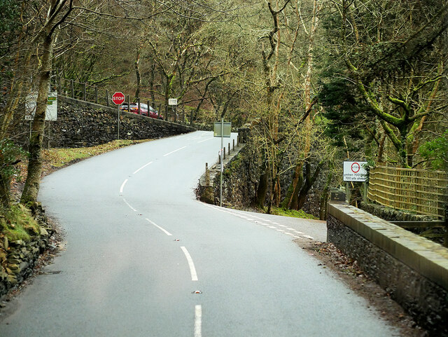
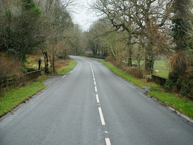
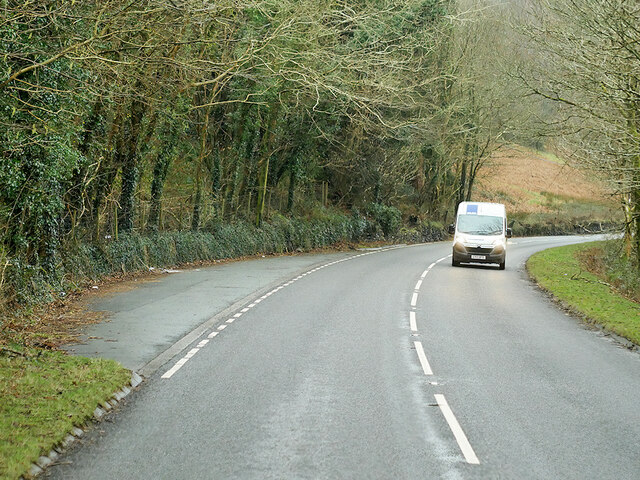
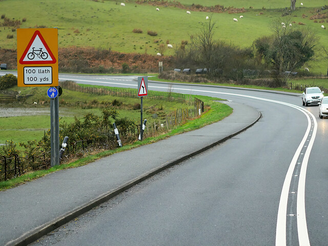
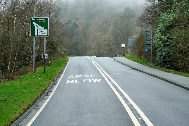
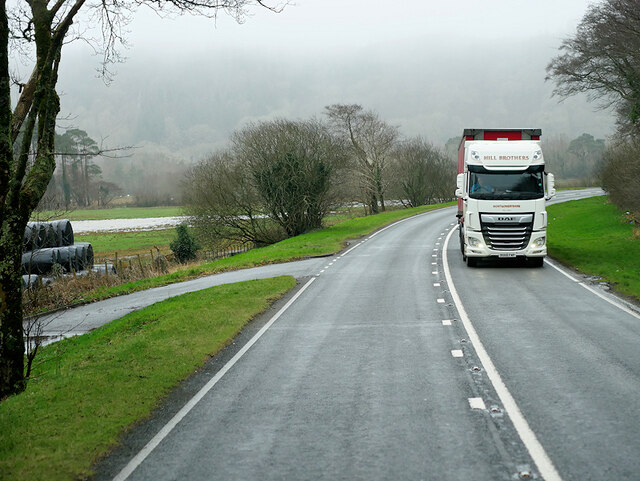
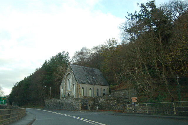
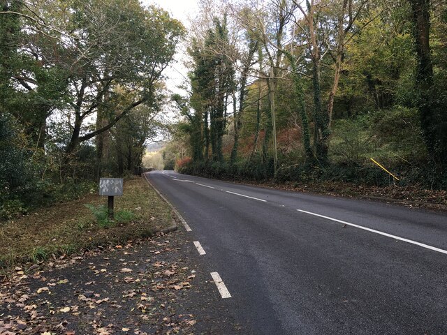
Bryn-Gwenyn Covert Images
Images are sourced within 2km of 52.950633/-3.9721622 or Grid Reference SH6741. Thanks to Geograph Open Source API. All images are credited.
Bryn-Gwenyn Covert is located at Grid Ref: SH6741 (Lat: 52.950633, Lng: -3.9721622)
Unitary Authority: Gwynedd
Police Authority: North Wales
What 3 Words
///blocks.lamppost.lousy. Near Maentwrog, Gwynedd
Nearby Locations
Related Wikis

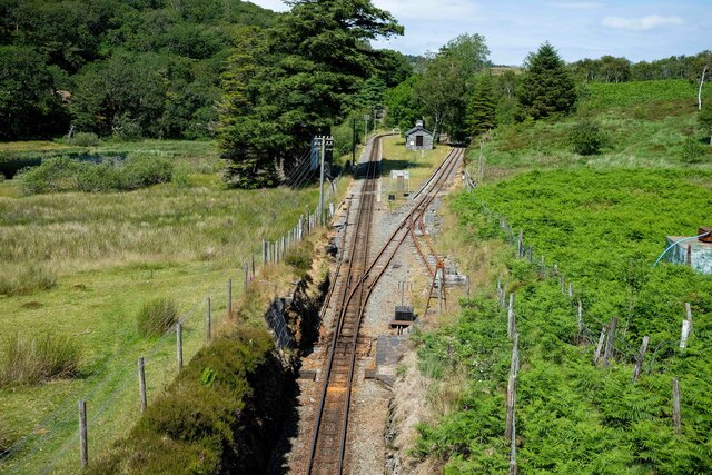
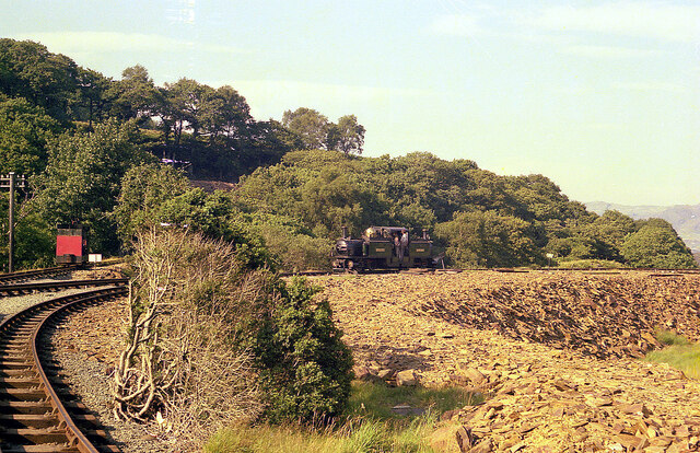
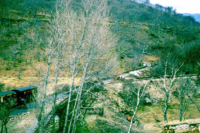
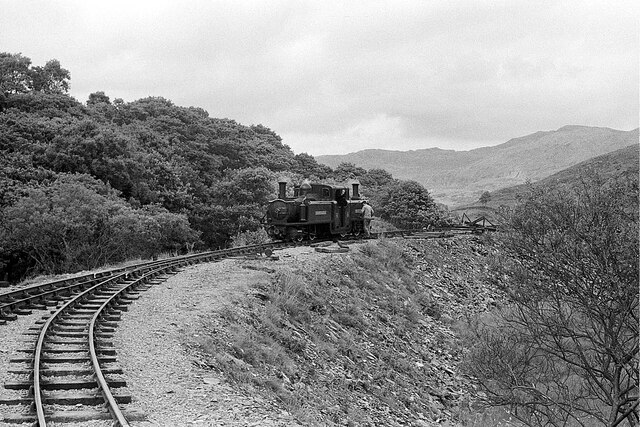
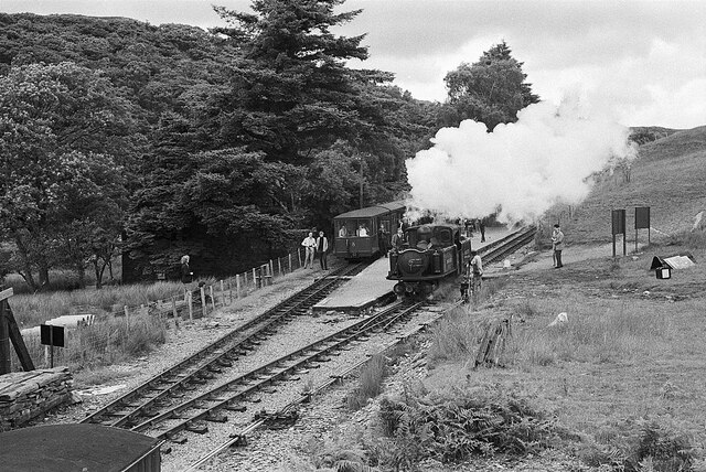
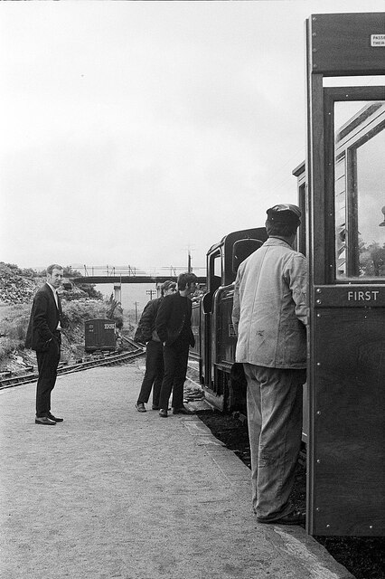
Campbell's Platform railway station
Campbell's Platform (grid reference SH673418) is a private, unstaffed halt on the Welsh narrow gauge Ffestiniog Railway, which was built in 1836 to carry...
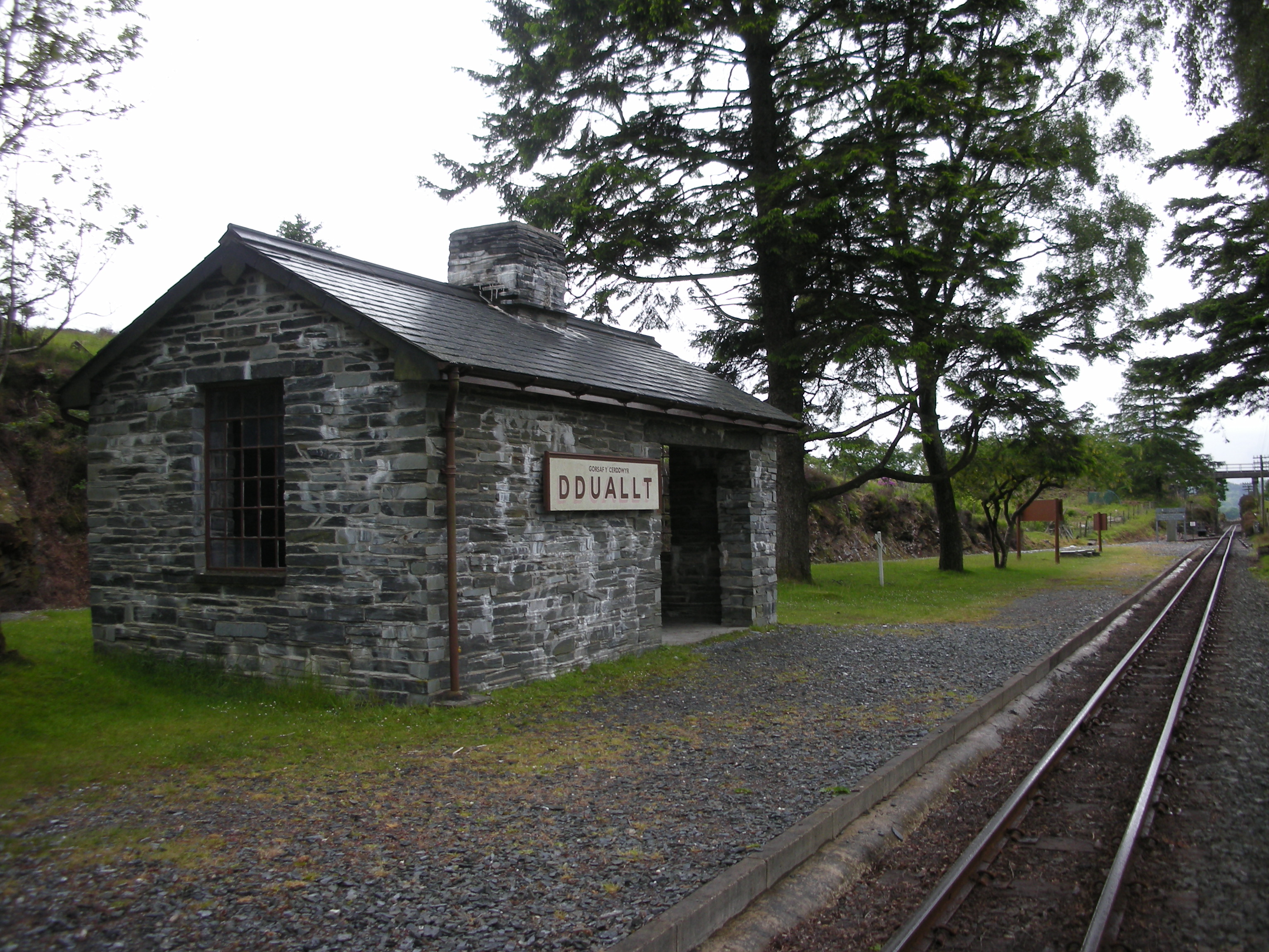
Dduallt railway station
Dduallt railway station (English: Black hill) (pronounced [ˈðɨ.aɬt]) is a passenger station on the narrow gauge Ffestiniog Railway in northwest Wales,...

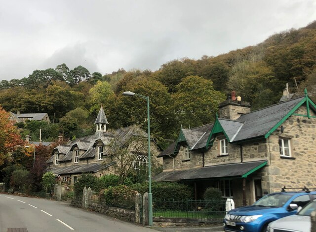
Maentwrog
Maentwrog () is a village and community in the Welsh county of Merionethshire (now part of Gwynedd), lying in the Vale of Ffestiniog just below Blaenau...

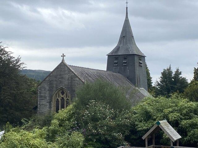
St Twrog's Church, Maentwrog
Saint Twrog's Church is in the village of Maentwrog in the Welsh county of Gwynedd, lying in the Vale of Ffestiniog, within the Snowdonia National Park...
Ceunant Llennyrch National Nature Reserve
Ceunant Llennyrch National Nature Reserve is one of several woodland reserves in the Vale of Ffestiniog in Gwynedd, Wales and runs from Llyn Trawsfynydd...
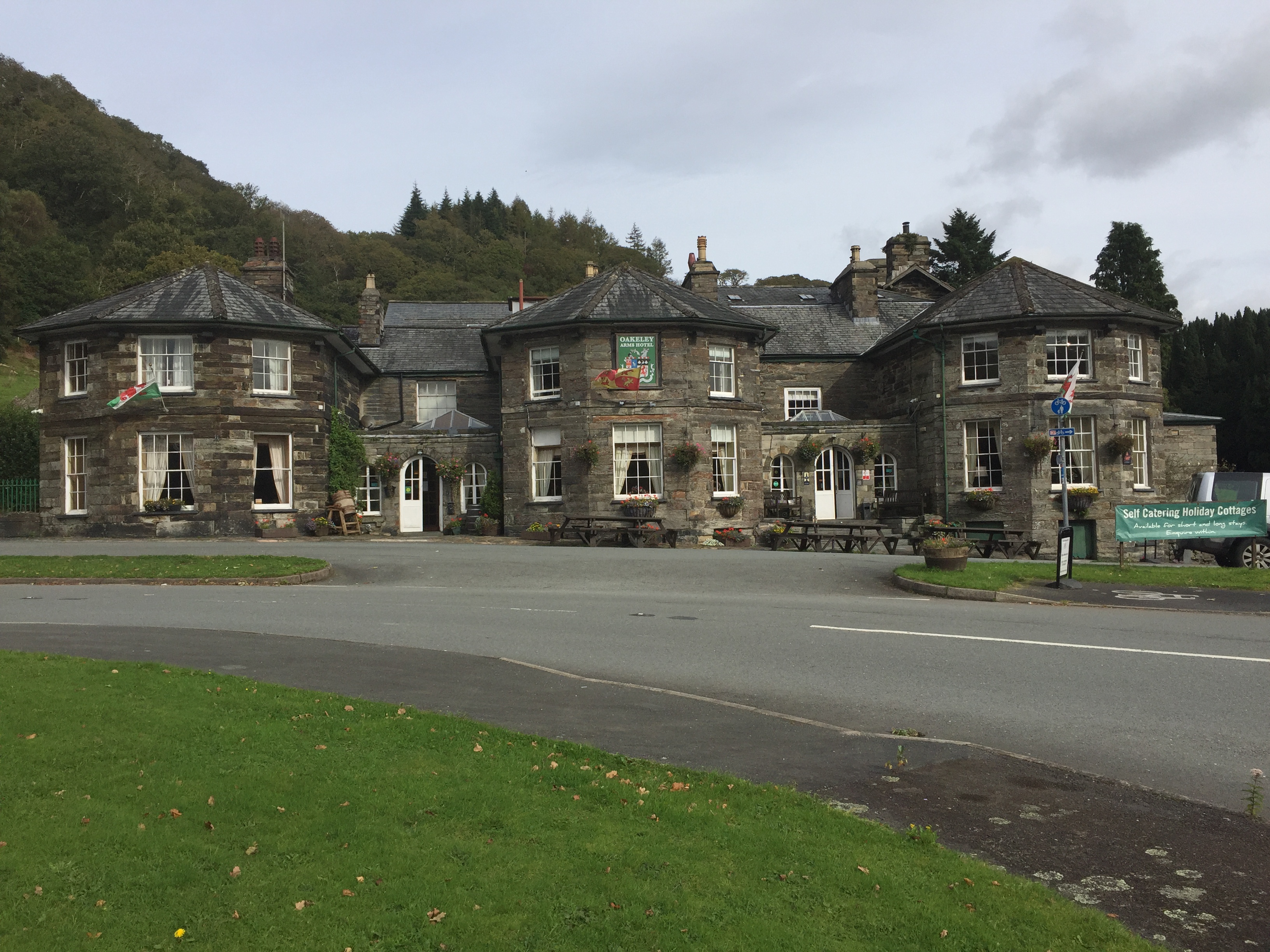
Oakeley Arms Hotel
The Oakeley Arms Hotel is a Grade II listed hotel near Maentwrog in North Wales. The original building dates back to the 17th century, and was once part...

Gellilydan
Gellilydan () is a village in the Welsh county of Gwynedd, in Maentwrog community. It lies 4 miles (6.4 km) south-south-east of Blaenau Ffestiniog. The...

Coedydd Maentwrog National Nature Reserve
Coedydd Maentwrog, on the north side of the Vale of Ffestiniog, is the largest wood in the Vale (which runs from the coast at Porthmadog inland to Blaenau...
Nearby Amenities
Located within 500m of 52.950633,-3.9721622Have you been to Bryn-Gwenyn Covert?
Leave your review of Bryn-Gwenyn Covert below (or comments, questions and feedback).