Coed Penybontbren-uchaf
Wood, Forest in Cardiganshire
Wales
Coed Penybontbren-uchaf
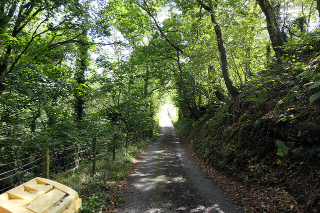
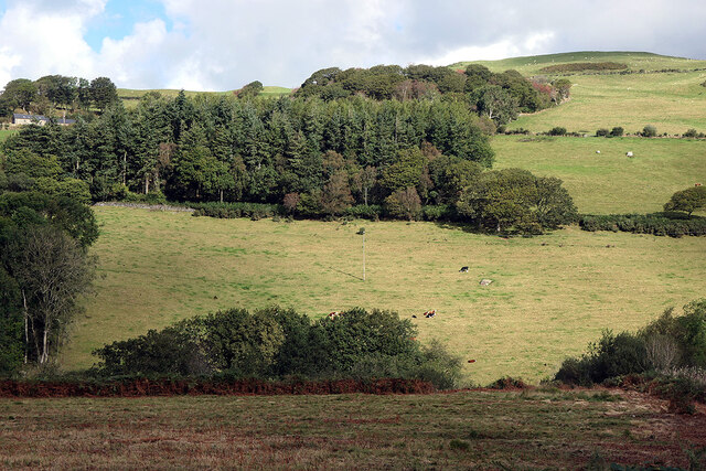
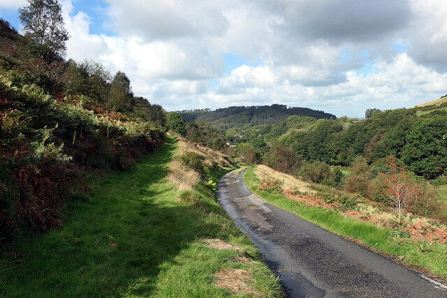
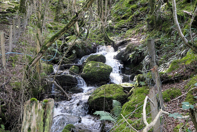
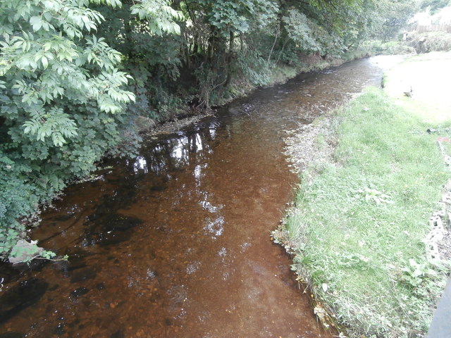
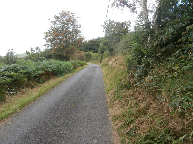
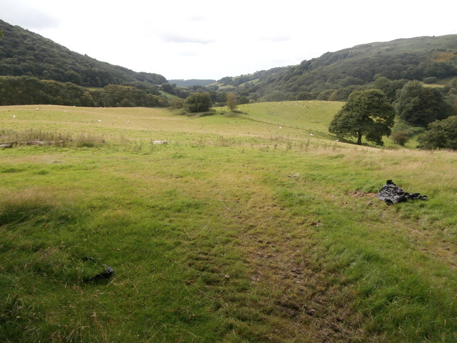
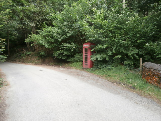
Coed Penybontbren-uchaf is a picturesque woodland located in Cardiganshire, Wales. This ancient woodland covers an area of approximately 200 acres and is known for its diverse range of flora and fauna. It is situated in a rural area, surrounded by rolling hills and meandering streams, providing a tranquil and serene atmosphere.
The woodland is predominantly composed of deciduous trees, including oak, beech, and ash, creating a rich and vibrant canopy that offers a haven for various bird species. The forest floor is adorned with a carpet of bluebells in the spring, adding a touch of natural beauty to the surroundings.
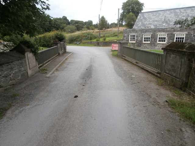
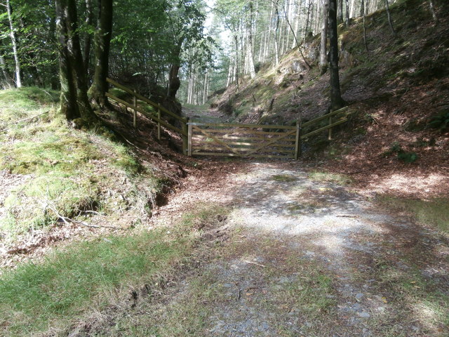
Coed Penybontbren-uchaf is well-maintained and offers several walking trails, allowing visitors to explore its natural wonders at their own pace. The paths wind through the dense forest, leading to open clearings where one can enjoy panoramic views of the surrounding countryside. Several picnic spots are scattered throughout the woodland, providing opportunities for visitors to relax and enjoy a meal amidst nature.
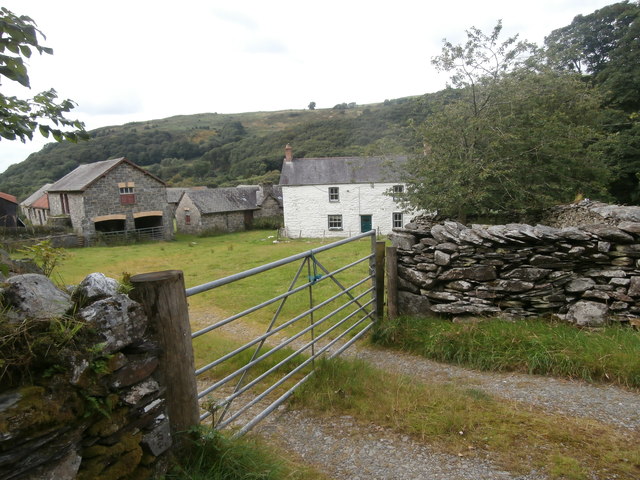
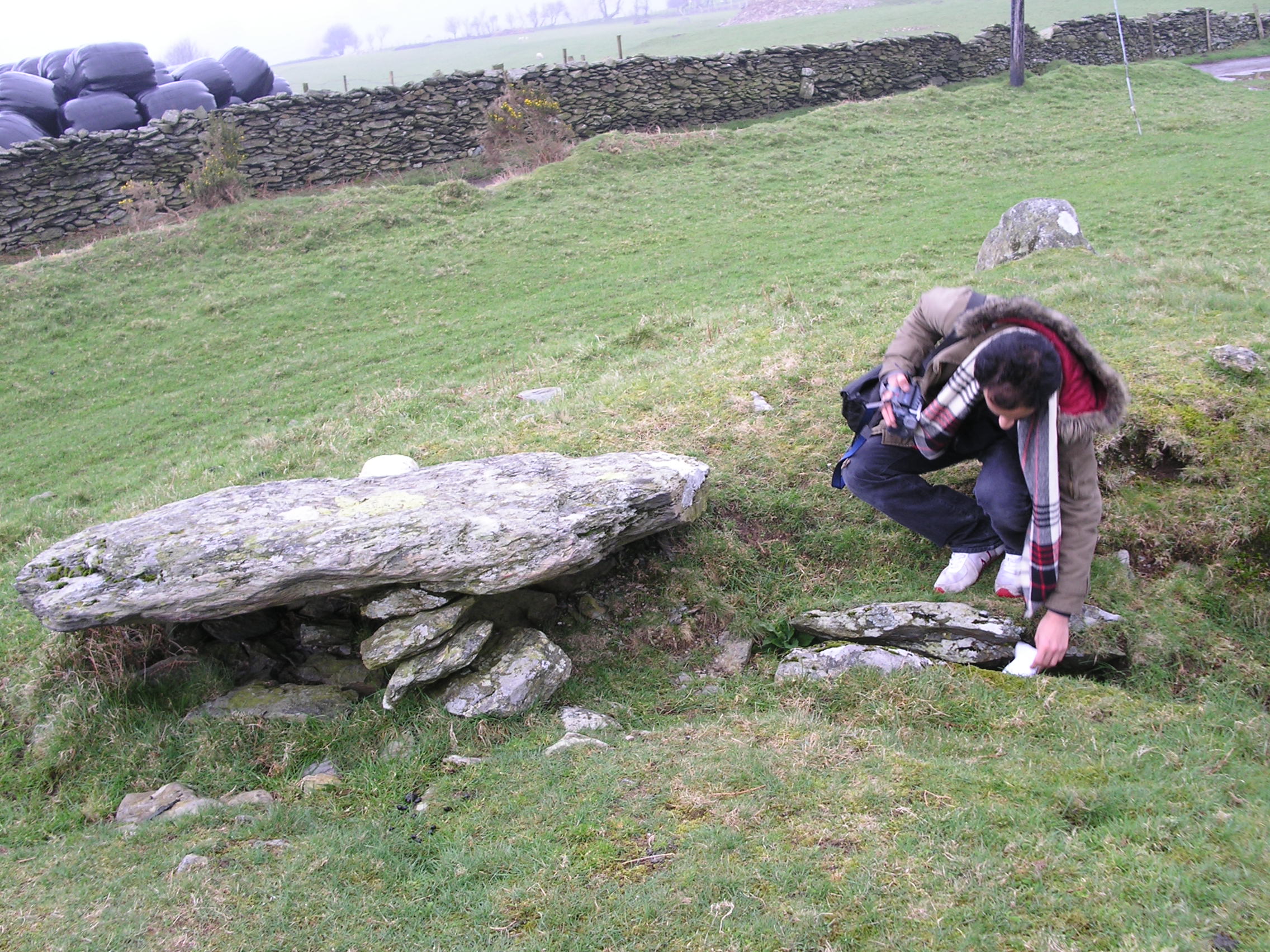
The woodland is also home to a diverse range of wildlife, including foxes, badgers, and various species of bats. Birdwatchers will be delighted to spot woodland birds such as woodpeckers, tits, and finches. In addition to its natural beauty, Coed Penybontbren-uchaf is also a site of historical significance, with remnants of ancient settlements and burial mounds being discovered within its boundaries.
Overall, Coed Penybontbren-uchaf is a hidden gem in Cardiganshire, offering a peaceful retreat for nature lovers and those seeking to immerse themselves in the beauty of a Welsh woodland.
If you have any feedback on the listing, please let us know in the comments section below.
Coed Penybontbren-uchaf Images
Images are sourced within 2km of 52.474573/-3.9506532 or Grid Reference SN6788. Thanks to Geograph Open Source API. All images are credited.
Coed Penybontbren-uchaf is located at Grid Ref: SN6788 (Lat: 52.474573, Lng: -3.9506532)
Unitary Authority: Ceredigion
Police Authority: Dyfed Powys
What 3 Words
///composers.truly.bullion. Near Bow Street, Ceredigion
Nearby Locations
Related Wikis

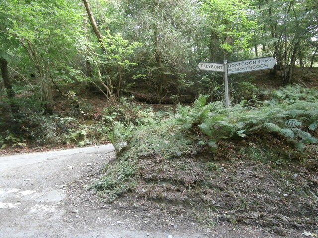
Bont Goch
Bont Goch (also known as Bontgoch or Elerch) is a village in Ceredigion, Wales, 2 miles (3.2 km) northeast of Aberystwyth. With Talybont, it is in the...

Cynnull-mawr
Cynnull-mawr is a small village in the community of Ceulanamaesmawr, Ceredigion, Wales, which is 76.3 miles (122.8 km) from Cardiff and 176.9 miles (284...

Tal-y-bont, Ceredigion
Tal-y-bont (also known as Talybont) is a village in Ceredigion, Wales, located on the A487 road about halfway between Aberystwyth and Machynlleth. At the...
Bedd Taliesin
Bedd Taliesin is the legendary grave (bedd) of the poet Taliesin, located in Ceredigion, Wales. The Bronze Age round cairn is a listed Historic Monument...
Ceulanamaesmawr
Ceulanamaesmawr is a community in Ceredigion, Wales, consisting of Tal-y-bont, Bont-goch and the surrounding area. The total population at the United...

Tre-Taliesin
Tre-Taliesin is a village in Ceredigion on the A487 road, 9 miles north of Aberystwyth, Wales, and 9 miles south of Machynlleth. It is in the parish of...
Dol-gau
Dol-gau (or Dôl-gau) is a small village in the community of Tirymynach, Ceredigion, Wales, which is 76.4 miles (123 km) from Cardiff and 177.5 miles...
Broginin
Broginin is a hamlet in the community of Trefeurig, Ceredigion, Wales, which is 74.6 miles (120 km) from Cardiff and 175.7 miles (282.8 km) from London...
Nearby Amenities
Located within 500m of 52.474573,-3.9506532Have you been to Coed Penybontbren-uchaf?
Leave your review of Coed Penybontbren-uchaf below (or comments, questions and feedback).