Coed Glan-yr-afon
Wood, Forest in Merionethshire
Wales
Coed Glan-yr-afon
The requested URL returned error: 429 Too Many Requests
If you have any feedback on the listing, please let us know in the comments section below.
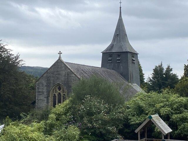
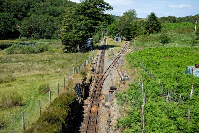
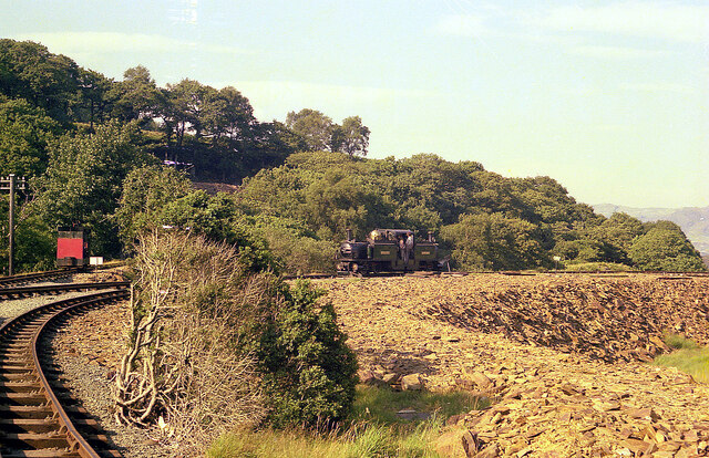
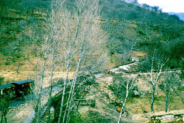
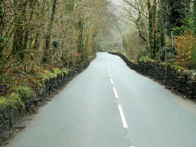
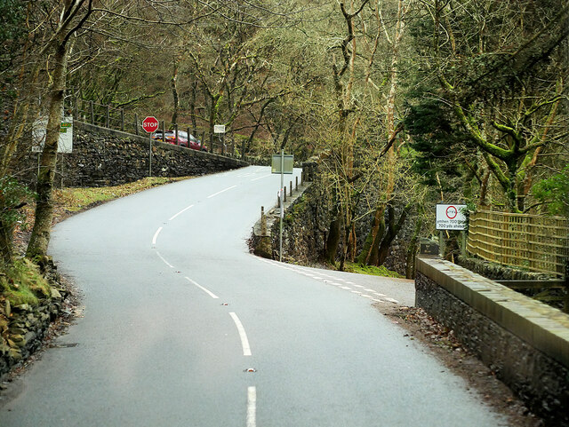
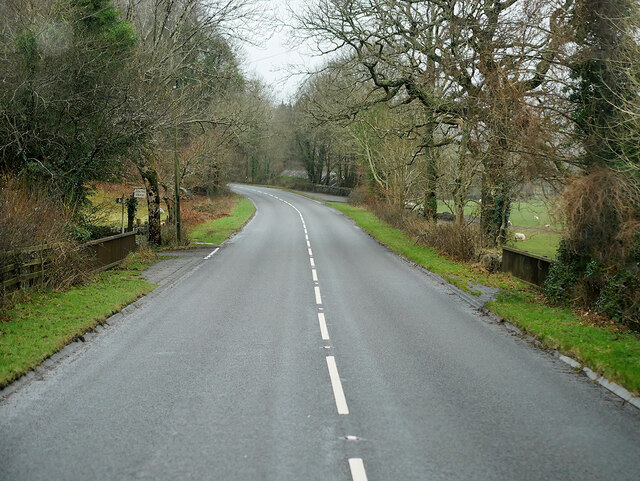
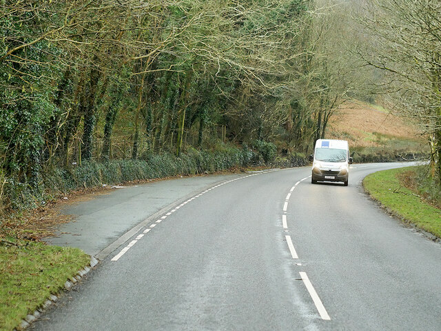
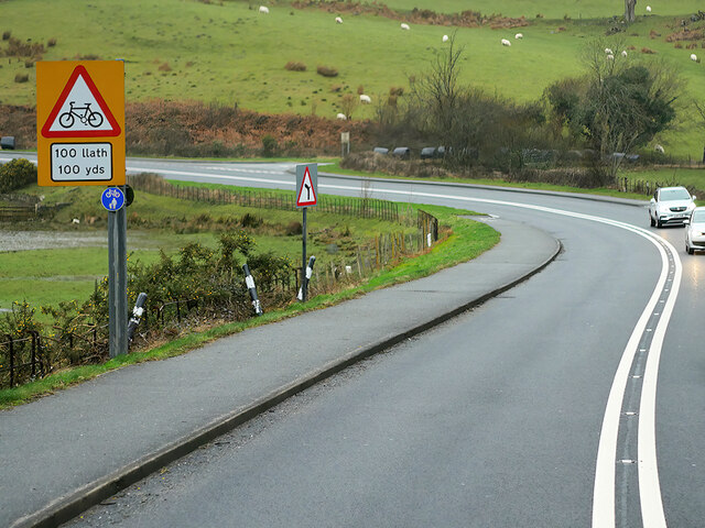
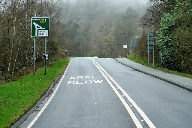
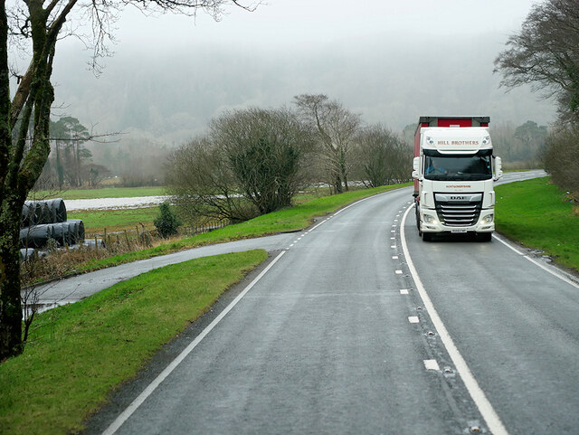
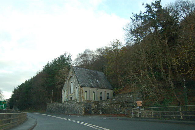
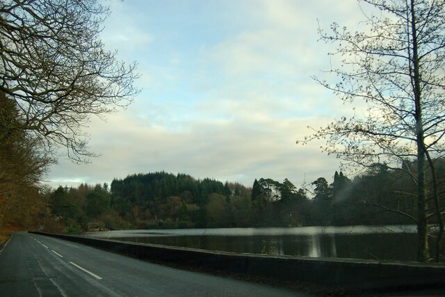
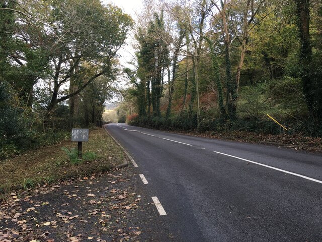
Coed Glan-yr-afon Images
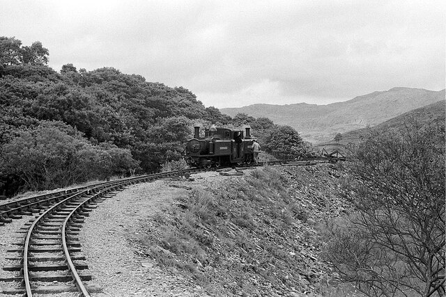
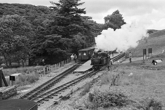
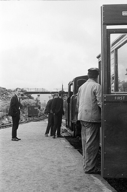
Images are sourced within 2km of 52.955907/-3.9766899 or Grid Reference SH6741. Thanks to Geograph Open Source API. All images are credited.
Coed Glan-yr-afon is located at Grid Ref: SH6741 (Lat: 52.955907, Lng: -3.9766899)
Unitary Authority: Gwynedd
Police Authority: North Wales
What 3 Words
///plotting.organs.scribbled. Near Maentwrog, Gwynedd
Nearby Locations
Related Wikis

Campbell's Platform railway station
Campbell's Platform (grid reference SH673418) is a private, unstaffed halt on the Welsh narrow gauge Ffestiniog Railway, which was built in 1836 to carry...
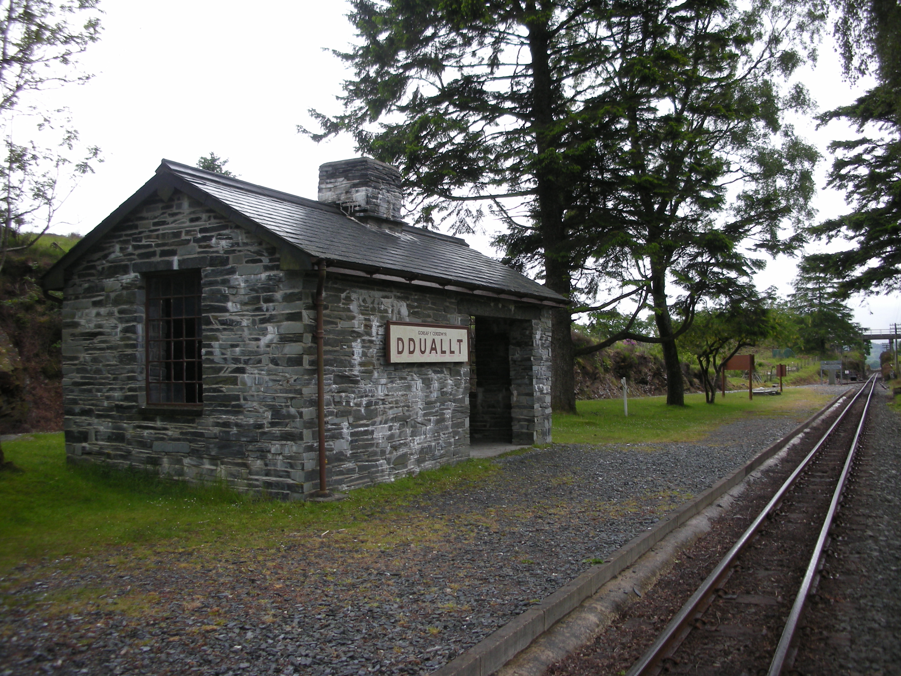
Dduallt railway station
Dduallt railway station (English: Black hill) (pronounced [ˈðɨ.aɬt]) is a passenger station on the narrow gauge Ffestiniog Railway in northwest Wales,...

Coedydd Maentwrog National Nature Reserve
Coedydd Maentwrog, on the north side of the Vale of Ffestiniog, is the largest wood in the Vale (which runs from the coast at Porthmadog inland to Blaenau...

Maentwrog
Maentwrog () is a village and community in the Welsh county of Merionethshire (now part of Gwynedd), lying in the Vale of Ffestiniog just below Blaenau...
Nearby Amenities
Located within 500m of 52.955907,-3.9766899Have you been to Coed Glan-yr-afon?
Leave your review of Coed Glan-yr-afon below (or comments, questions and feedback).