Coed Gwar-cwm-uchaf

Wood, Forest in Cardiganshire

Wales

Coed Gwar-cwm-uchaf

Capel Rehoboth, Tre Taliesin Welsh Calvinistic Methodist chapel
Capel Rehoboth, Tre Taliesin Credit: Eirian Evans

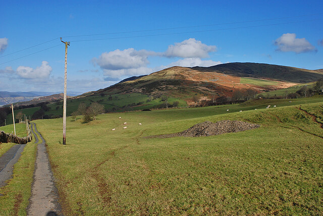
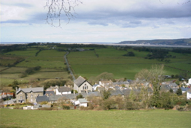
Coed Gwar-cwm-uchaf, located in Cardiganshire, Wales, is a beautiful wood or forest that boasts a rich history and diverse natural beauty. Spread across approximately 200 acres, this enchanting woodland is a popular destination for nature lovers and outdoor enthusiasts.

The wood is characterized by its ancient trees, with some dating back several centuries, creating a sense of timeless beauty. The diverse ecosystem supports a wide range of flora and fauna, including oak, ash, birch, and beech trees that dot the landscape. The forest floor is carpeted with a variety of wildflowers, creating a vibrant tapestry of colors during the spring and summer months.

Coed Gwar-cwm-uchaf is also home to a plethora of wildlife, providing a haven for numerous bird species, mammals, and insects. Birdwatchers can spot a variety of species, including woodpeckers, owls, and buzzards, while mammals like badgers, foxes, and deer can be glimpsed among the trees.

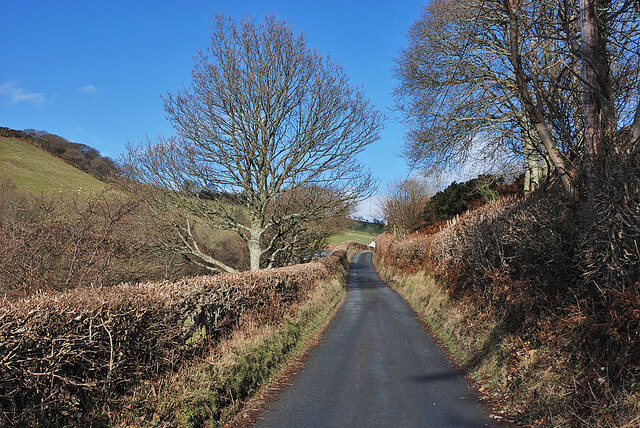
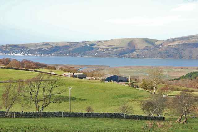
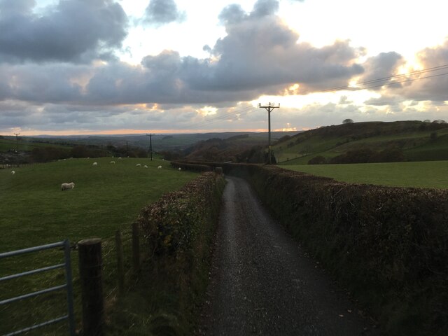
The woodland offers a network of well-maintained trails, allowing visitors to explore the area and immerse themselves in nature. These paths wind through the forest, offering breathtaking views of the surrounding countryside and glimpses of hidden waterfalls and streams.

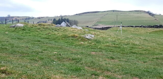
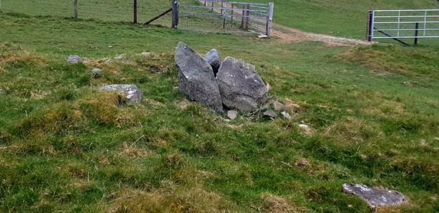
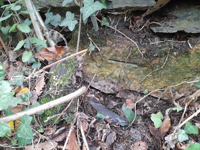
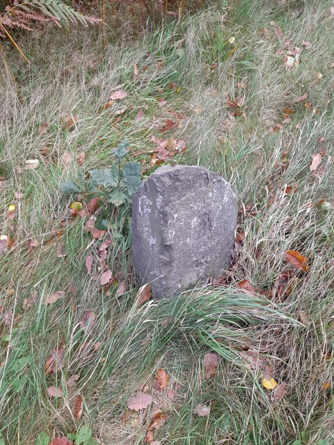
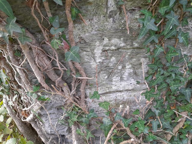
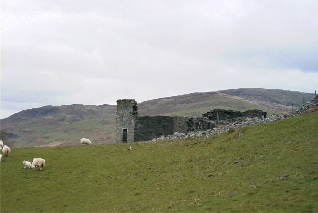
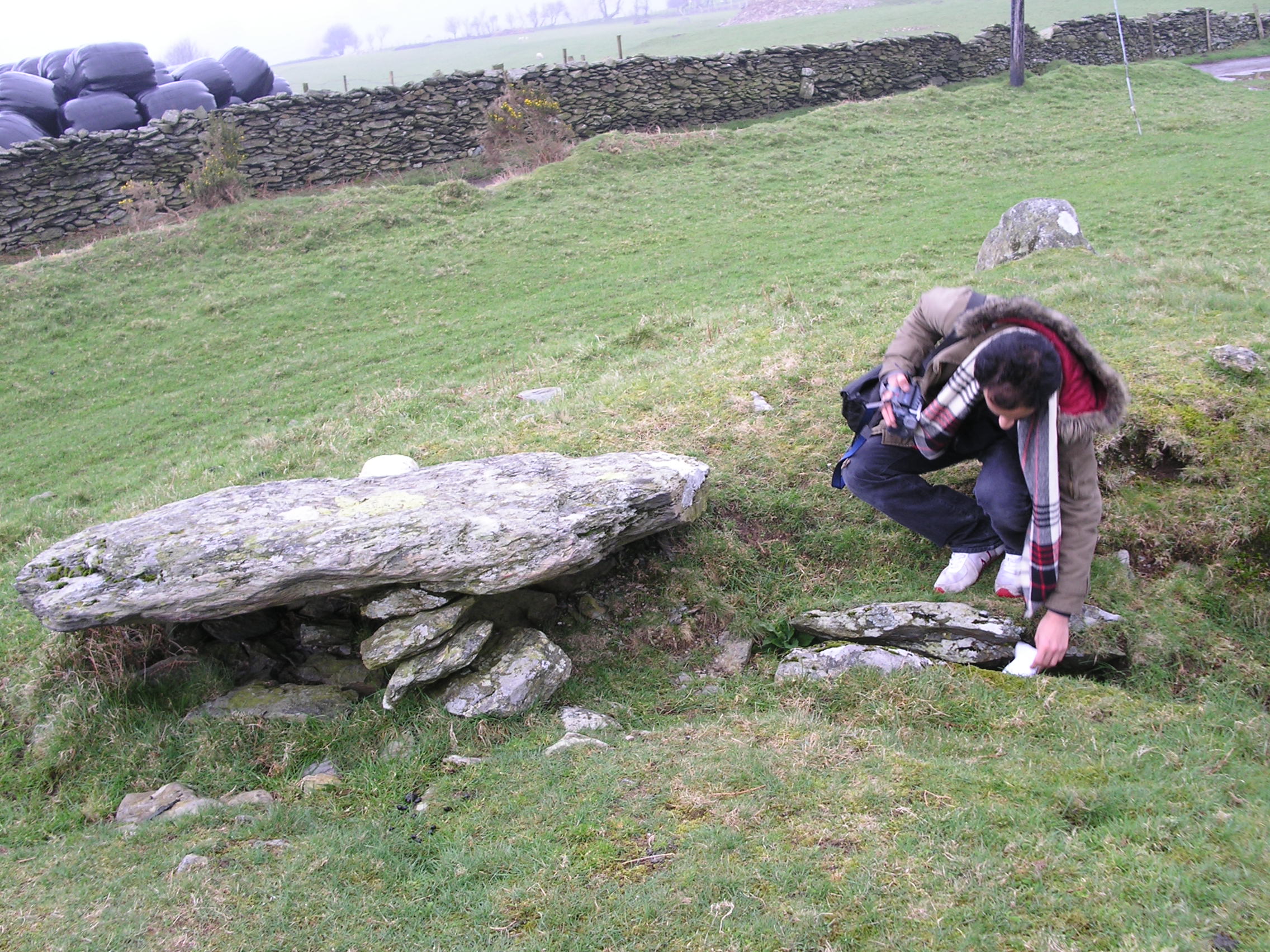
In addition to its natural beauty, Coed Gwar-cwm-uchaf is steeped in history. It is believed that the wood was once part of a larger ancient forest that covered much of the area. Remnants of old mining and quarrying activities can also be found, serving as a reminder of the region's industrial past.

Overall, Coed Gwar-cwm-uchaf is a stunning woodland that offers a peaceful retreat, abundant wildlife, and a glimpse into the past. It is a true gem of Cardiganshire, attracting visitors from far and wide who seek solace and serenity in its natural splendor.

If you have any feedback on the listing, please let us know in the comments section below.

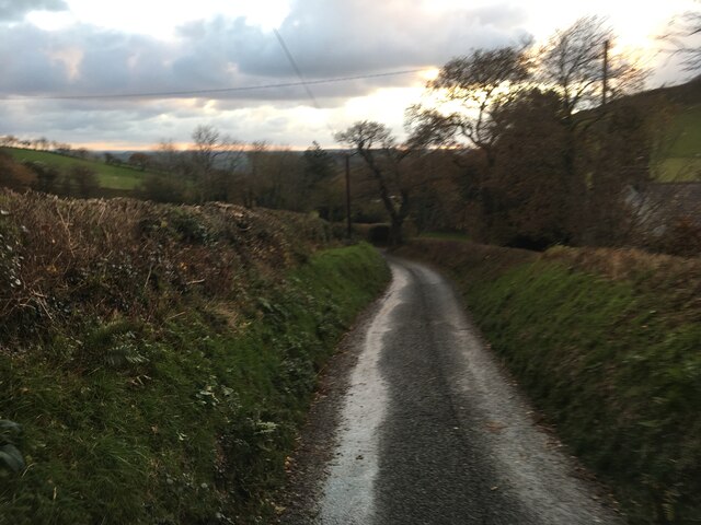
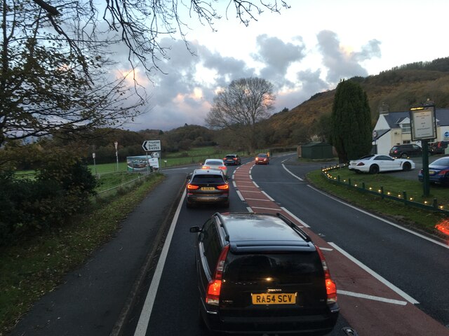
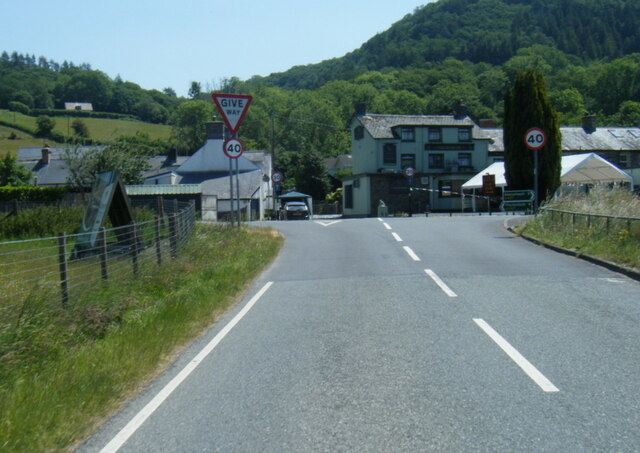
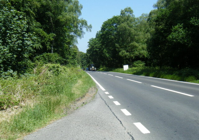
Coed Gwar-cwm-uchaf Images

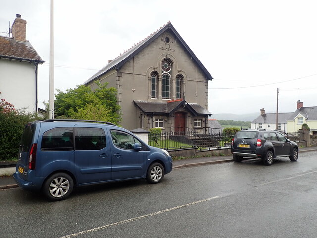
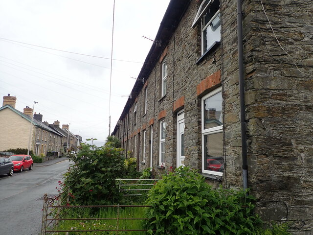
Images are sourced within 2km of 52.508209/-3.9561655 or Grid Reference SN6791. Thanks to Geograph Open Source API. All images are credited.

Capel Rehoboth, Tre Taliesin Welsh Calvinistic Methodist chapel
Capel Rehoboth, Tre Taliesin
Welsh Calvinistic Methodist chapel
Terraced housing, Tre Taliesin
Lane climbing up Cwm Slaid The old coach road, seen climbing away north from Talybont.
Lane climbing up Cwm Slaid
The old coach road, seen climbing away north from Talybont.
View to the Dyfi estuary Looking over Gwar-cwm-isaf farm,
View to the Dyfi estuary
Looking over Gwar-cwm-isaf farm,
Foel Goch seen from Bedd Taliesin
Bedd Taliesin Bedd Taliesin, a round-kerb cairn in Ceredigion, Wales is rumoured to be the legendary grave of the esteemed 6th-century Welsh poet Taliesin, Chief Bard of the Island of Britain.
Bedd Taliesin
Bedd Taliesin, a round-kerb cairn in Ceredigion, Wales is rumoured to be the legendary grave of the esteemed 6th-century Welsh poet Taliesin, Chief Bard of the Island of Britain.
Bedd Taliesin Round-kerb cairn in Ceredigion, Wales rumoured to be the legendary grave of the esteemed 6th-century Welsh poet Taliesin, Chief Bard of the Island of Britain
Bedd Taliesin
Round-kerb cairn in Ceredigion, Wales rumoured to be the legendary grave of the esteemed 6th-century Welsh poet Taliesin, Chief Bard of the Island of Britain
Soar Wesleyan Methodist Chapel - yr Hen Gapel Built in the early 1800's, it was converted to a Sunday School in 1877.
Soar Wesleyan Methodist Chapel - yr Hen Gapel
Built in the early 1800's, it was converted to a Sunday School in 1877.
Ordnance Survey Cut Mark This OS cut mark can be found on the wall west side of the road. It marks a point 41.319m above mean sea level.
Ordnance Survey Cut Mark
This OS cut mark can be found on the wall west side of the road. It marks a point 41.319m above mean sea level.
Milestone - Aberystwyth 10 Badly damaged milestone east side of road.
Milestone - Aberystwyth 10
Badly damaged milestone east side of road.
Ordnance Survey Cut Mark This OS cut mark can be found on the wall post NW side of the road. It marks a point 23.284m above mean sea level.
Ordnance Survey Cut Mark
This OS cut mark can be found on the wall post NW side of the road. It marks a point 23.284m above mean sea level.
Minor road near Tre Taliesin
Minor road towards Tal-y-Bont
Junctions on the A487 at Tre’r-Ddol
B4353 at the A487 junction
A487 in The Park woodland
Taliesin and Ynys Cynfelyn Taken above (East) of Tre Taliesin looking west across the drained part of Cors Fochno to Ynys Cynfelyn with the Dyfi estuary and Aberdyfi in the distance
Taliesin and Ynys Cynfelyn
Taken above (East) of Tre Taliesin looking west across the drained part of Cors Fochno to Ynys Cynfelyn with the Dyfi estuary and Aberdyfi in the distance
Wheelhouse, Bryn-yr-Arian Mine The remains of the wheelhouse at the long-abandoned Bryn-yr-arian lead mine, one of hundreds of such mines throughout north Ceredigion.
Wheelhouse, Bryn-yr-Arian Mine
The remains of the wheelhouse at the long-abandoned Bryn-yr-arian lead mine, one of hundreds of such mines throughout north Ceredigion.
Show me another place!

Coed Gwar-cwm-uchaf is located at Grid Ref: SN6791 (Lat: 52.508209, Lng: -3.9561655)

Unitary Authority: Ceredigion

Police Authority: Dyfed Powys

What 3 Words

///narrow.nipping.parkland. Near Borth, Ceredigion

Related Wikis

Bedd Taliesin

Bedd Taliesin is the legendary grave (bedd) of the poet Taliesin, located in Ceredigion, Wales. The Bronze Age round cairn is a listed Historic Monument...

Coed Cwm Clettwr

Coed Cwm Clettwr is a Site of Special Scientific Interest in Ceredigion, west Wales. It is designated for mature broadleaf woodland.The alternative spelling...

Llangynfelyn

Llangynfelyn is both a parish and a community in Ceredigion, Wales, midway between Aberystwyth and Machynlleth. It stretches from the Leri estuary in...

Craig-y-penrhyn

Craig-y-penrhyn is a hamlet in the community of Llangynfelyn, Ceredigion, Wales, which is 79.3 miles (127.7 km) from Cardiff and 178.1 miles (286.6 km...

Nearby Amenities

Located within 500m of 52.508209,-3.9561655
Place: farm
Lat/Long: 52.5071545/-3.9554066
Place: farm
Lat/Long: 52.5112292/-3.9580459
Power: pole
Lat/Long: 52.506988/-3.9563066
Power: pole
Lat/Long: 52.5064477/-3.956902
Power: pole
Lat/Long: 52.5059514/-3.957476
Power: pole
Lat/Long: 52.5052754/-3.9581841
Power: pole
Lat/Long: 52.5043644/-3.9589325
Power: pole
Lat/Long: 52.5046583/-3.9601797
Power: pole
Lat/Long: 52.5053522/-3.9596781
Power: pole
Lat/Long: 52.5060052/-3.9591444
Power: pole
Lat/Long: 52.5069489/-3.9584336
Power: pole
Lat/Long: 52.5075986/-3.9578971
Power: pole
Lat/Long: 52.5091267/-3.9567089
Power: pole
Lat/Long: 52.5098906/-3.9561591
Direction: S
Generator Method: photovoltaic
Generator Output Electricity: yes
Generator Solar Modules: 11
Generator Source: solar
Generator Type: solar_photovoltaic_panel
Location: roof
Power: generator
Lat/Long: 52.5119616/-3.9582321
The data included in this document is from www.openstreetmap.org. The data is made available under ODbL.

Have you been to Coed Gwar-cwm-uchaf?

Leave your review of Coed Gwar-cwm-uchaf below (or comments, questions and feedback).